Introduction
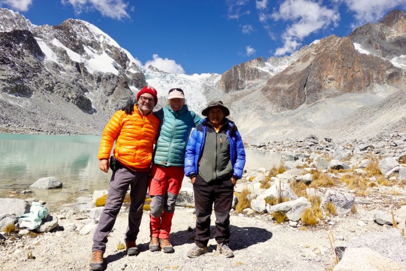
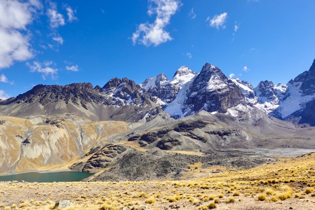
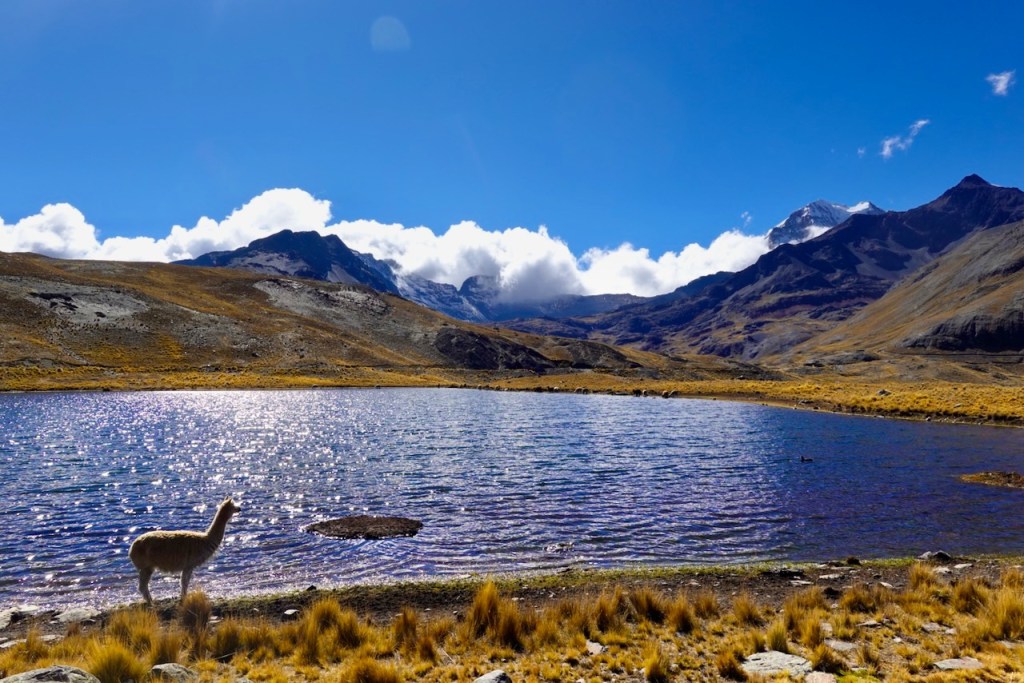
The Cordillera Real in Bolivia is a fantastic destination for high-altitude long-distance trekking, famous for its dramatic snow- and glacier-covered peaks, high-altitude valleys, and turquoise lakes, It is part of the Andes, the vast mountain range that stretches for roughly 7,000 km from Venezuela in the north all the way to Patagonia in the south. The Cordillera Real itself is about 125 km long, with peaks rising well above 6,000 meters.
In August of 2026 we did a 17-day trek, covering the entire length of the Cordillera Real from the north to the south. We had originally planned to include an extra three days to also hike the Choro trail to Coroico, but we had to abandon those last three days because of a freak snowstorm.
The Cordillera Real is remarkably remote, with very little infrastructure and almost no permanent settlements once you get into the mountains. Unlike many popular hiking destinations, there are no crowds here. In fact, except for the first day and the last couple of days, we did not meet any other hikers along the way. We had the trails completely to ourselves in complete solitude!
Route Summary
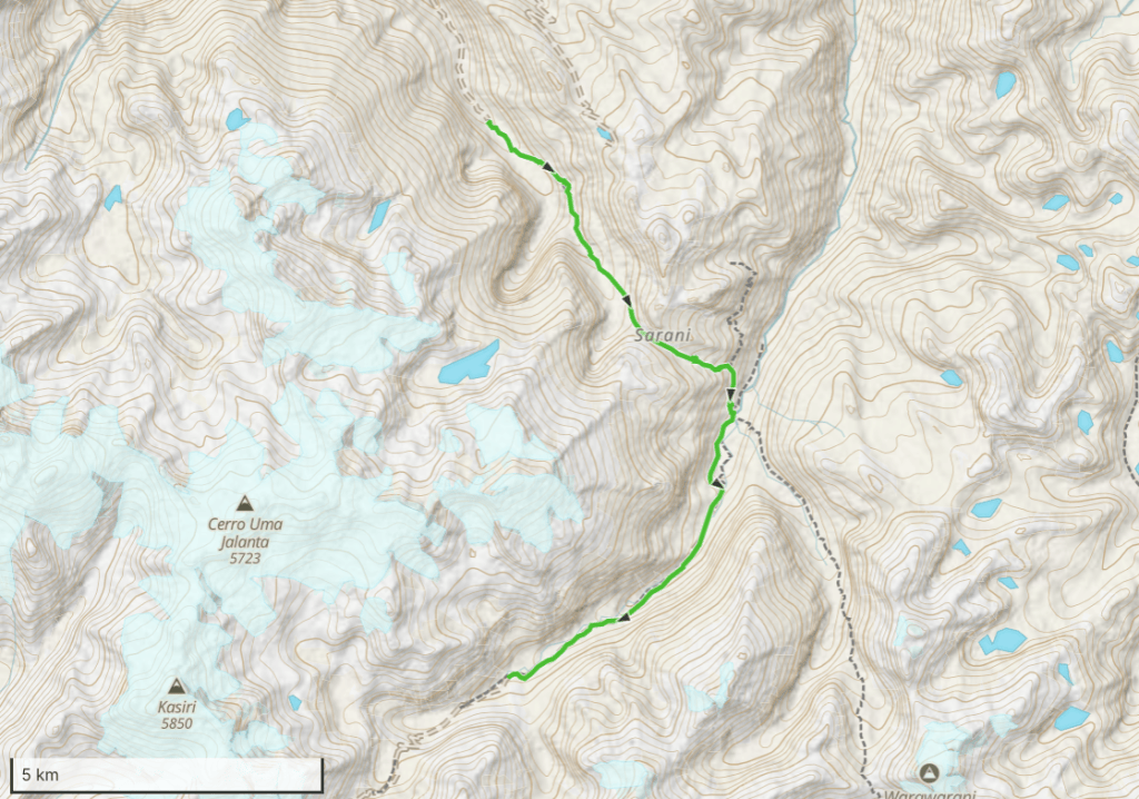
The following maps show the route that we followed (the day-by-day itinerary below includes a more detailed map for each day):
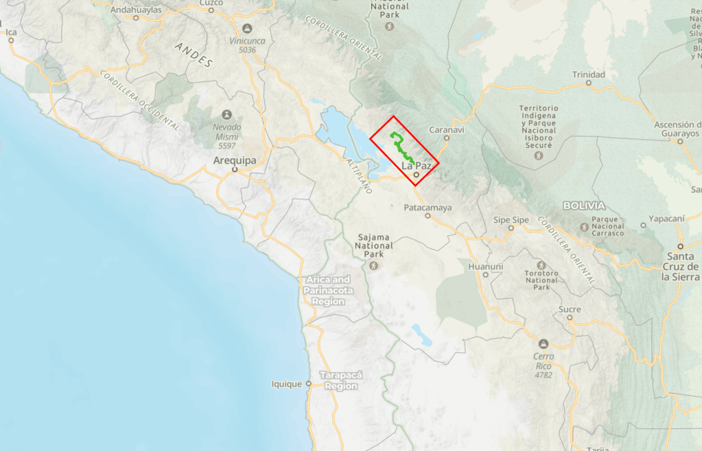
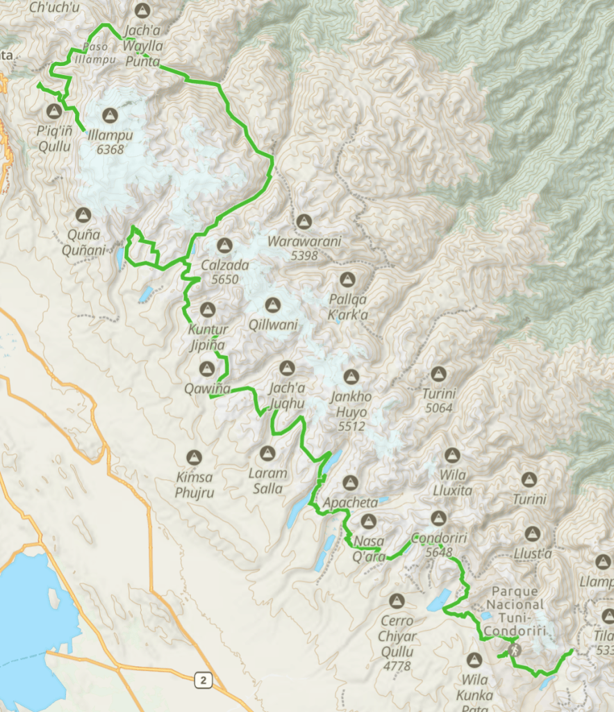
WARNING: While we did use a GPS to record the exact coordinates of campsites and passes, we did not record the GPS tracks for the trails. All maps in this blog were produced by manually drawing the route on a map after the hike was completed based only on our best recollection of how we walked. Do not rely on these maps for detailed navigation. In many places there is no trail at all; we strongly recommend you hire a guide.
This table shows the distance as well as the cumulative ascent and descent for each day. It also shows the altitude of campsites at the start and end of the day, plus the altitudes of significant waypoints (passes, lagunes, peaks) along the way.
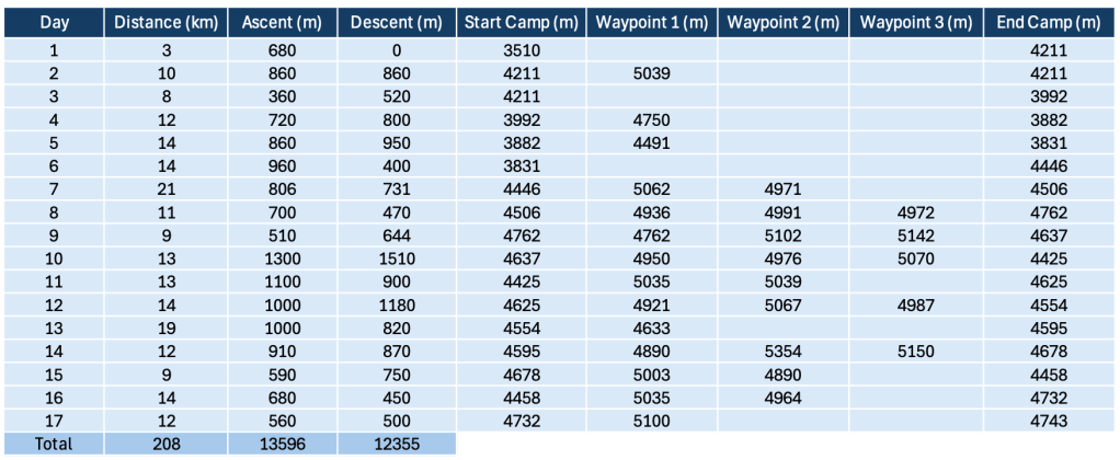
The total distance is 208 km, the total cumulative ascent/descent is about 13,000 meters. Note that there are many passes above 5,000 meters and that you often sleep well above 4,500 meters, so make sure you are well acclimatized (more about this later).
Sources of information
We found the following sources of information very helpful while planning the trek:
Blog: Dirtmonger: a blog dedicated to endurance, adventure, and wandering.
Cordillera Real Traverse (2018)
https://www.freedirtmonger.com/p/cordillera-real-traverse.html
https://www.freedirtmonger.com/2017/11/cordillera-real-traverse-part-2.html
https://www.freedirtmonger.com/2017/11/cordillera-real-traverse-part-3.html
https://www.freedirtmonger.com/2017/12/cordillera-real-traverse-part-4.html
Blog: The Hiking Life: Trail Guides, Gear Reviews, and Backpacking Tips
Trip Report: Cordillera Real Traverse (2017)
https://thehikinglife.com/2017/11/trip-report-cordillera-real-traverse
Blog: Ramblin’ Boy
Trekking Bolivia’s Cordillera Real – Maps, Basic Info, and Planning Advice (2015)
https://albinger.me/2015/10/17/trekking-bolivias-cordillera-real/
https://albinger.me/2015/10/17/day-one-south-of-sorata-to-alto-llojena/
https://albinger.me/2018/07/27/mapping-the-cordillera-real-trekking-route/
Classic eastern route versus new western route
Some of the blogs mentioned above describe the existence of two different routes: the classic eastern route and the new western route.
The blogs explain how the new western route was developed in response to increasing mining activity along the classic eastern route. We also found out that, some years ago, there had been some unrest and an increase in crime along the classic eastern route (similar to the blockades around La Paz in 2026).
We tried to get the best of both worlds by starting on the eastern side, including a side trip to Laguna Glaciar, and then crossing over to the western side via the Camino Calzada which crosses the Cordillera Real east to west.
During the first part of our trek, while we were still on the eastern side, we discovered that the trekking agencies have abandoned the “classic” eastern route years ago and that these days, all the trekking agencies use the “new” western route instead. In fact, on the eastern side, we were stopped by locals several times who told us that they had not seen any tourists in years and thanked us profusely for coming to visit.
As far as we could tell, everything has calmed down on the eastern side. Whatever unrest or increase in crime there had been seems to have been resolved. And yes, there is mining activity. We ran into one large Chinese mining operation that was just starting up (more details in the day-by-day itinerary below). As a result, there are now many roads in what used to be pristine wilderness, accessible only by trails.
We hate hiking on roads, so we were a bit concerned about this. But we found that the “roads” are mostly just dirt tracks, hardly wider than a well-used trail in Europe, and for the most part there is zero traffic on them. So we did not find them nearly as disturbing as we had feared.
There are also some tiny mining operations, with local people digging for gold. These are mostly invisible, but the main concern is that they use mercury, which can contaminate the drinking water. You can only safely drink water at high elevations, above the areas where people are mining. Our trekking agency therefore brought bottled water for the lower elevations.
All in all, we were very happy with our decision to do both the classic eastern side and the new western side. It made for a longer and more interesting trek and, as we had hoped, allowed us to experience the best of both sides.
Another unexpected advantage is this allowed us to do the trek without needing porters (only mules or car transport). We found out that the first part of the new western route is too rough for mules, which makes the use of porters necessary.
Difficulty
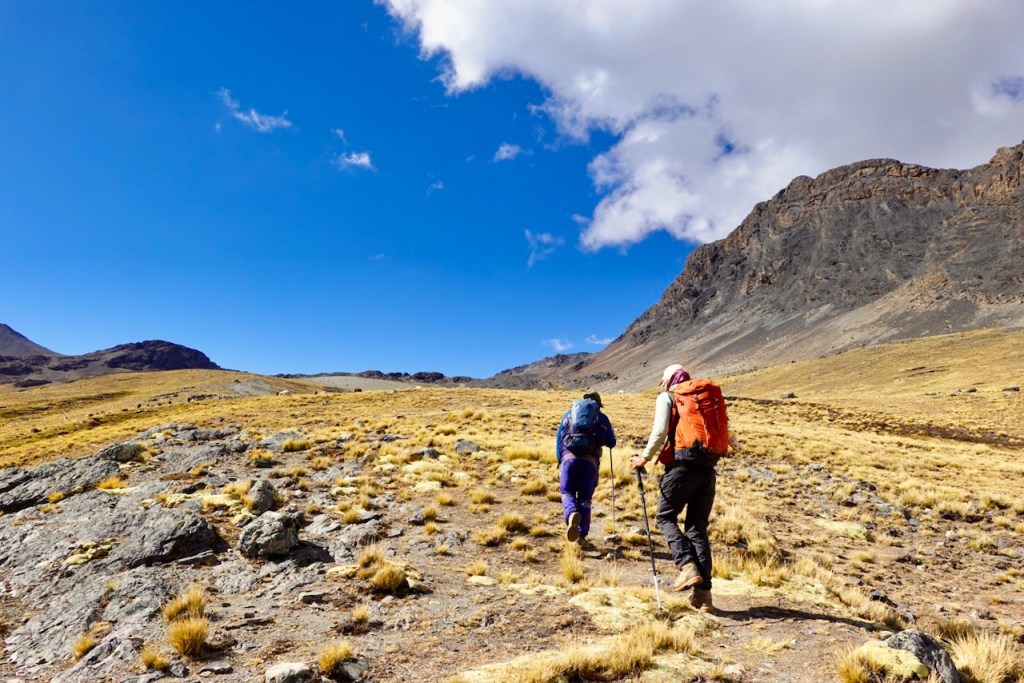
This is a tough trek for experienced hikers. It is hard work; don’t underestimate it. On many days there isn’t just one but two 5000+ meter passes that you have to cross, with close to1000 meters ascent and descent per day.
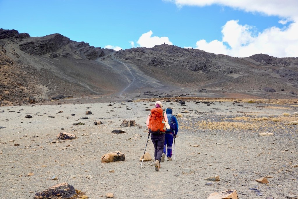
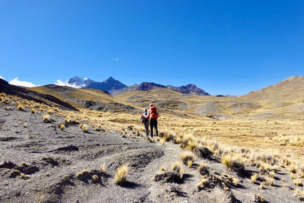
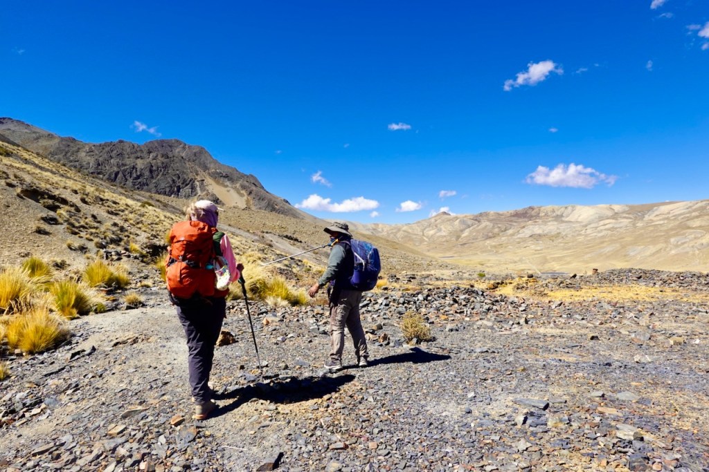
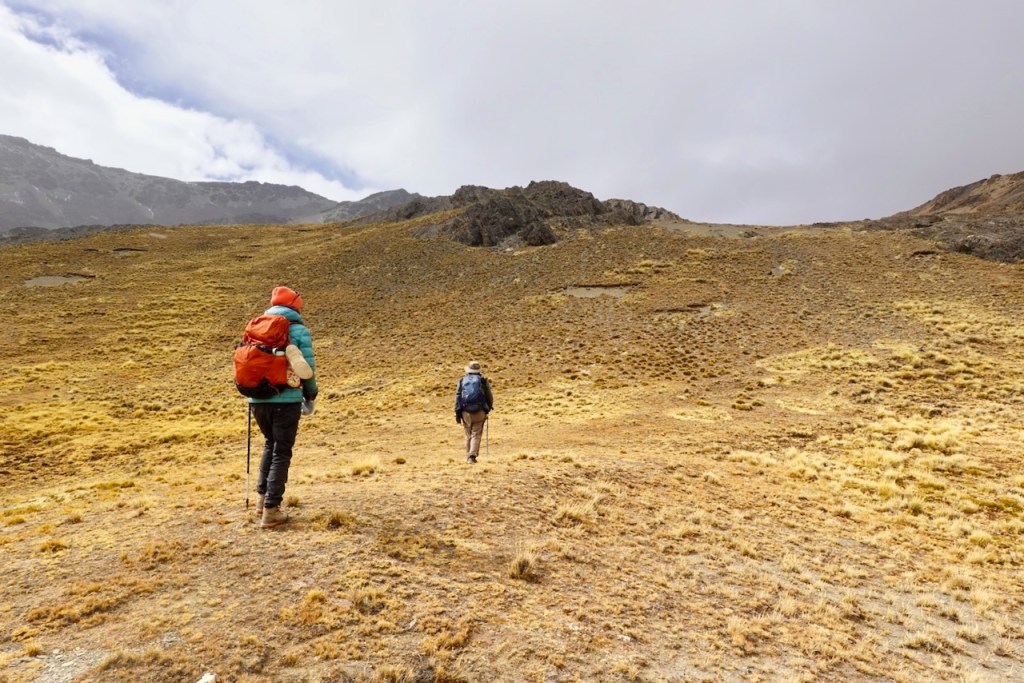
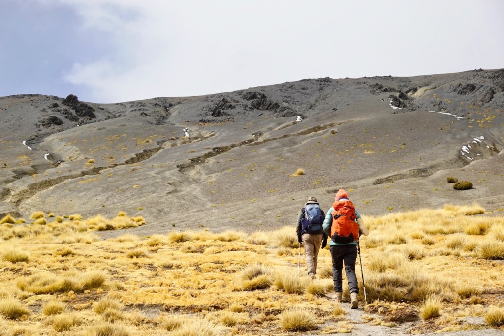
For about 20% of the trek you walk over a dirt road (mostly completely empty – no cars, no people, not much more than a wide trail). For another 30% you walk over well-defined trails. And for the remaining 50% or so, there is no trail at all: you are walking through grass, rocks, sand, or at best a faint llama trail.
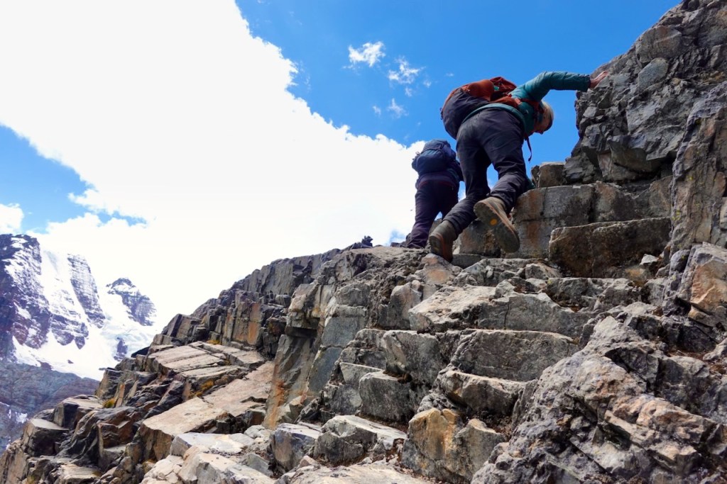
That said, this is still a trek and not a technical climb. That are no technical parts that require ropes etc. There are just a handful of spots where some very minor scrambling is needed, but they don’t involve a serious exposure and should not be a problem unless you have very severe vertigo.
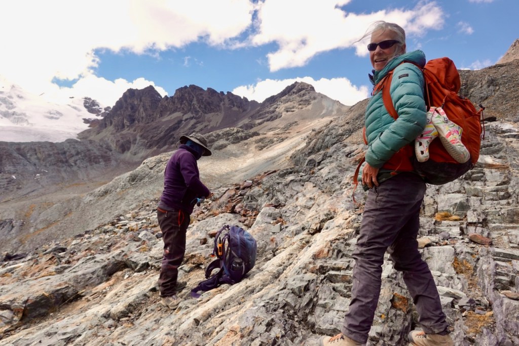
Some of the descents from the passes as described in this blog are very steep (50 degrees or so) and require “slide stepping” down steep loose scree slopes. This is not difficult, but does require a good head for heights. These steep parts can be avoided by following the “standard route”; the route described in this blog follows the more scenic but also more difficult “alternative route”.
For most of the trek, there is zero infrastructure. Unlike treks in -for example- Nepal where you often have tea houses for food and lodging, you need to be completely self-sufficient on this trek. The only exception is the very end near Huanya Potosi where there are some simple refugios.
In summary, the main difficulty of this trek is not so much that the trail is so technically difficult, but that you require 17 days of stamina without any luxury, hiking up and down two 5000+ meter passes almost every single day, often over faint or non-existent trails.
Trekking agency
Even though we are very experienced self-supported trekkers, we can’t imagine doing the whole 17-day trek as described here by yourself. The route is too complex and too long and there are no resupply options along the way.
People do hike shorter subsections by themselves, especially in the section between Laguna Khotia and Huayna Potosi basecamp. If so inclined, make sure you are very experienced and have all trails downloaded off-line on your GPS: the route is often not clear at all, and tourists do get lost every single year.
The vast majority of people (including us) book this trek as a trip with one of the trekking agencies in La Paz. The agency organizes all the logistics: a guide, a cook, porters or mules, equipment (tents, gas, etc.), food, resupplies along the way, etc.
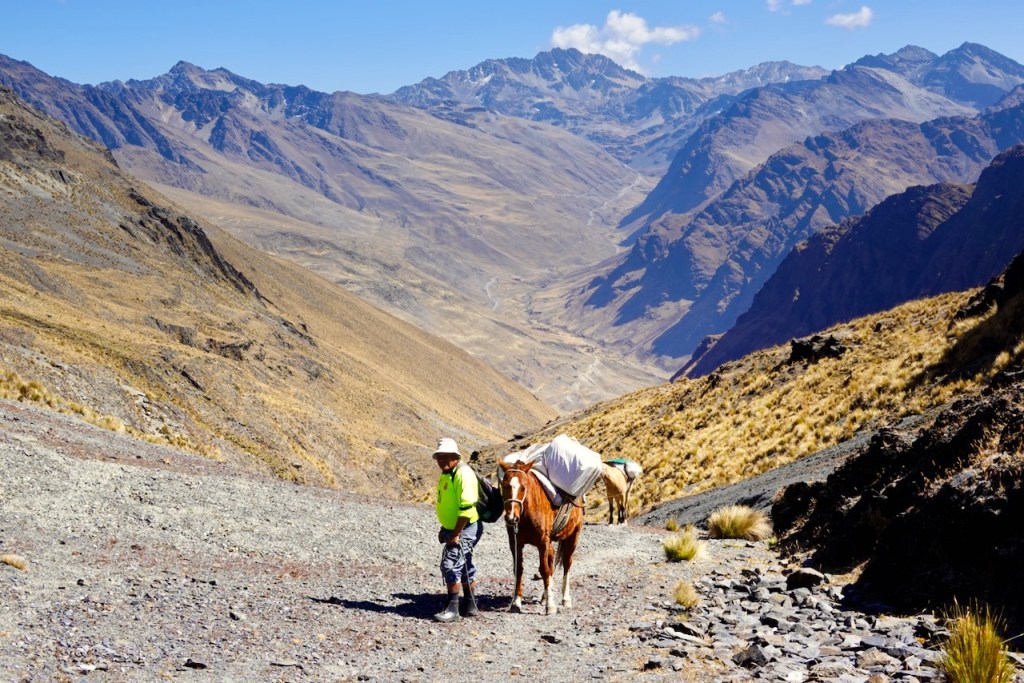
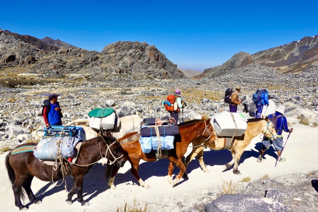
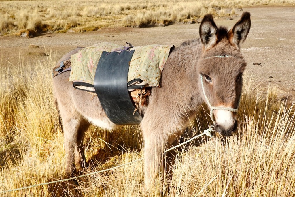
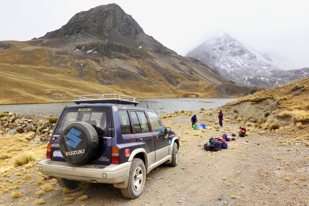
The transport logistics are quite complex. On some sections they use mules or horses. In this case, the muleteer (“horseman”) will also come along since the owner of the mules or horses will not leave his animals alone and he will often take a different (lower) route than the guide. On other sections, the resupply is done by 4×4 car. Some camping locations are reachable by road (a very rough dirt road with no or little traffic) because there might be a small town, a mine, or a dam in a lake. In that case you and the guide hike from campsite to campsite using a high route, and all the supplies (and resupplies) are driven by car from campsite to campsite over a long detour by road.
On the trek as described in this blog, you don’t need any porters – everything is done by mule, horse, or car. However, there are some variants of this trek (notably the first couple of days on the new western route) that are too rough for mules and horses, and where porters are needed instead. We met one trekking group of Americans: just two clients with a guide, a cook, and seven porters. Quite a team for just two people!
We contacted about 10 different trekking agencies trying to find the best one for our requirements. Most trekking agencies try to sell you a standard trek (typically much shorter than 17 days, often as short as 3 to 5 days) and have you join a group of other trekkers who may or may not match your personality and level of experience.
We were looking for a custom trek: just the two of us, as long as possible, long challenging days (no “chilling at camp” at 2pm), as far from the beaten track as possible, with as much flexibility as possible if things go side-ways.
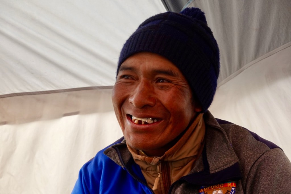
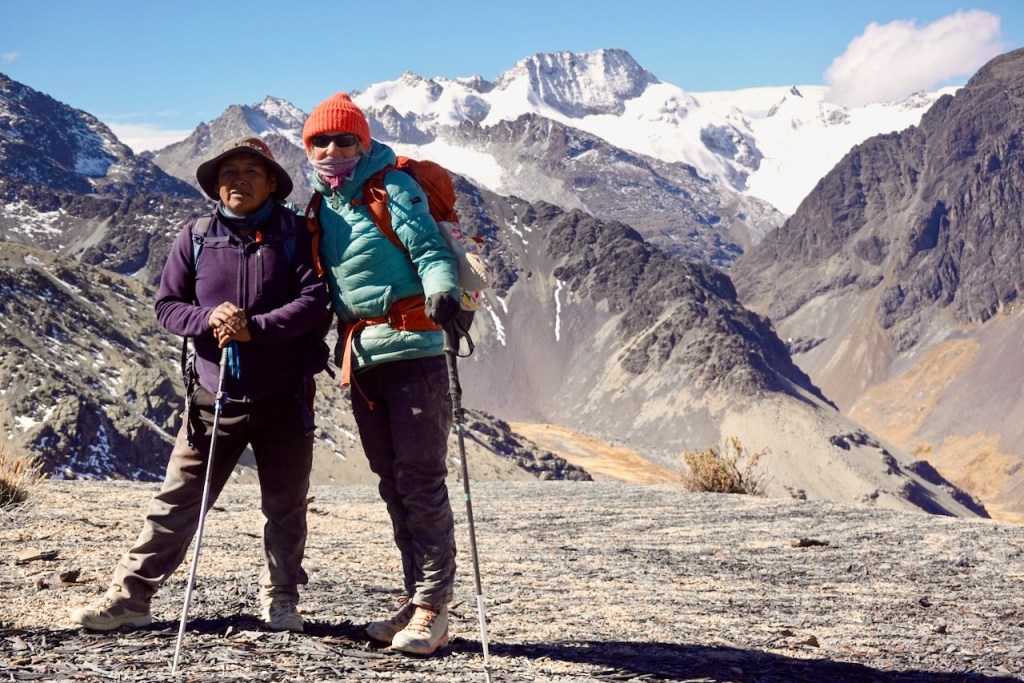
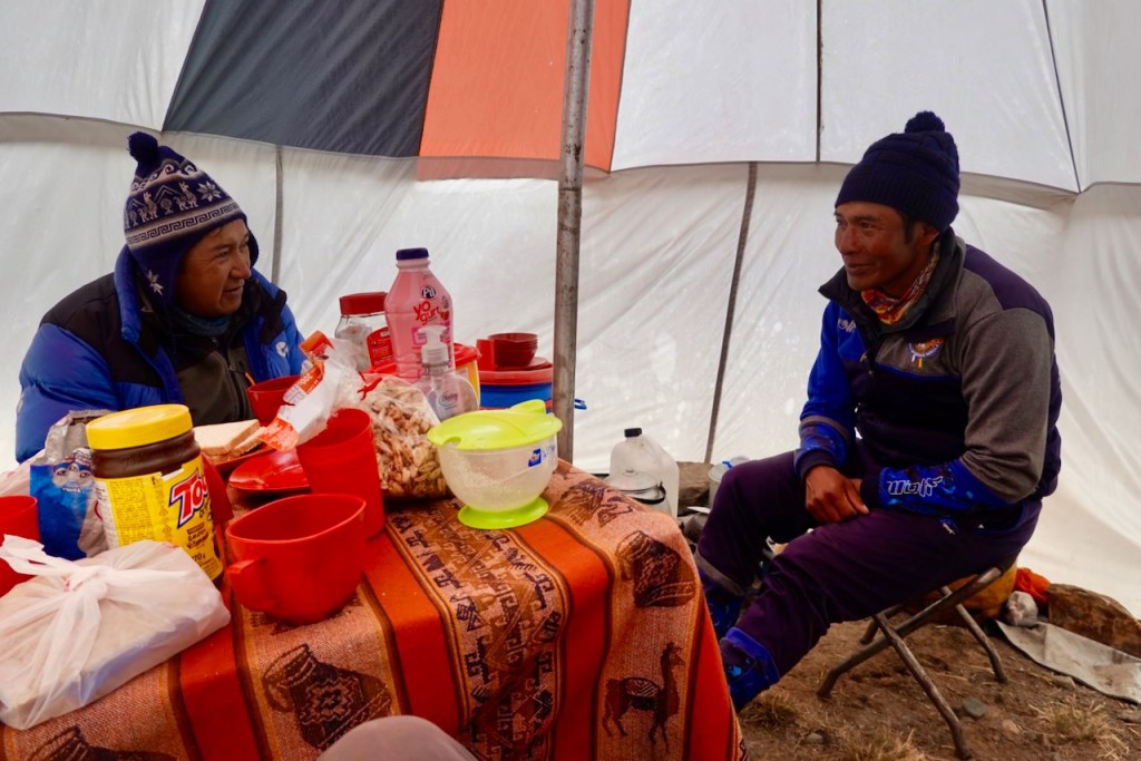
In the end we selected Climbing Bolivia, a small trekking agency. We were very happy with the choice. Their itinerary checked all our checkboxes, and for the most part the whole trek was executed flawlessly (there are always unforeseen circumstances outside of their control – such as a stubborn muleteer and a snow storm). In particular, we were delighted with our guide Celso Moya (Spanish speaking only) who knew the route like the back of his hand and who was super flexible, always suggesting alternative more scenic and more challenging routes for us.
Weather
We did the trek in the first half of August which is toward the end of the cold, dry winter season in the Cordillera Real. This is a good time for trek because the weather is generally stable and dry.
During the day the temperatures at 4500 meters were around 10 to 15°C and we could hike in a shirt and a light sweater. At night it got quite cold, around -5 to -10°C. We often woke up with ice on the tent and with semi-frozen water bottles. We recommend bringing your own down sleeping bags and sleeping pads. Make sure the comfort rating (not just the extreme rating) is well below -10°C to stay comfortable at night. Those supplied by the trekking agencies are typically lower quality.
The day usually started out with blue skies. As the day progressed, the clouds usually started rolling in and the wind started picking up around noon. Some days we ended with about half cloud cover and other days we ended with full cloud cover. We had some light drizzle or light snow on a couple of afternoons and nights.
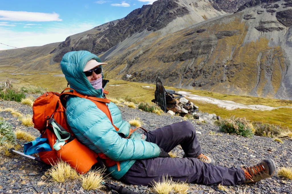
The sun is brutal at this altitude: you need a good hat and apply sunscreen religiously. You also need lip balm and a buff because the combination of the cold, the wind, and the sun will crack you lips to bleeding.
There is always the possibility of a surprise winterstorm. Just before we reached Huanya Potosi basecamp we got surprised by a storm that appeared out of nowhere and dumped 40 cm snow on us in a matter of a couple of hours. Luckily, at Huanya Potosi there are refugios where we could stay the night to take shelter. We were planning to continue for another three days to do the Choro trek but we had to abort because the pass was no longer crossable. Instead, we took a 4×4 car back to La Paz – normally a one or two hour drive but it took us the whole day because of the snow.
Note that if you have an InReach satellite communicator (very highly recommended for safety), you can get weather forecasts and see these storms coming.
Acclimatization in La Paz and on Isla del Sol
It is absolutely essential for your comfort and safety that you spend time to properly acclimatize before you start this trek (see for example this guide).
Almost all of the trek is above 4,000 meters. Almost every single day you cross two 5,000+ meter passes. The highest point (Pico de Austria) is 5,350 meters. Several camp sites are at 4,600 or even 4,800 meters. At 5,000 meters, the oxygen pressure is half of what it is at sea level. If you don’t properly acclimatize you run the risk of horrible headaches, vomiting, and -worst case- potentially fatal altitude sickness.
Here are some suggestions for acclimatizion:
- Spend a few days exploring La Paz, which is at about 3,650 meters.
- Take a few sight-seeing trips to El Alto (right next to La Paz), which is at about 4,150 meters. I would recommend Cholita wrestling, the Cholet tour, riding the teleférico full circle, and the 16 de Julio market.
- Spend a few days on Isla del Sol, which is between 3,800 and 4,075 meters. Take a bus or taxi to Copacobana and then a ferry to the north side of the island, spend a night in Challapampa, and visit the ruins on the north side of the island. Hike the Inca trail from the north side to the south side of the island (an easy day hike of about 15 km) and spend a night in Yumani. Take the ferry back to Copacobana and organize transport directly to the start of the trek in Sorata – no need to go back to La Paz.
You might want to consider bringing Diamox (Acetazolamide) as either a preventative or as an emergency treatment for altitude sickness. We use it as a preventative (half a table twice a day, morning and evening) and it works well for us. But don’t take medical advice from us – talk to your own doctor.
Starting point: The town of Sorata
The town of Sorata is the starting point for the trek. Evidently, years ago Sorata was a charming small town with colonial architecture. Recently the town has boomed due to new-found wealth from the mining industry in the area, and now it is a largish town which is noisy, polluted, and full of ugly half-finished new construction.
In Sorata we stayed in the delightful Altai Oasis Eco Lodge which is located in a lush forest just outside of the town proper.
Day 1 (1 August 2026): Sorata – Laguna Chilata
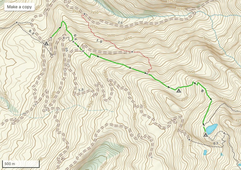
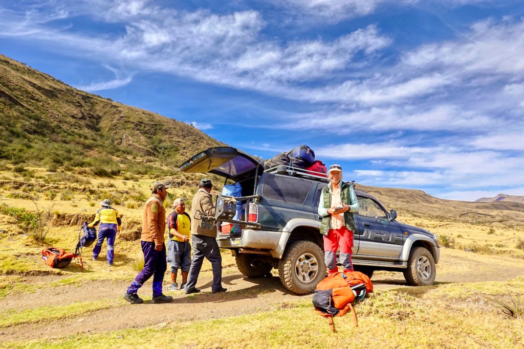
After breakfast, Celso, our guide, and Ismael, our cook, picked us up at the hotel in a 4×4 SUV. We loaded all our supplies into the car and drove to the trailhead. Some people hike this section, but it is a 10 km walk with 600 m of ascent along a dusty, uninteresting road with quite a bit of traffic, so we were happy to skip it.
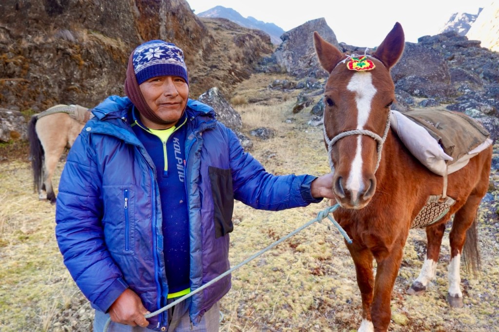
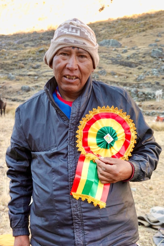
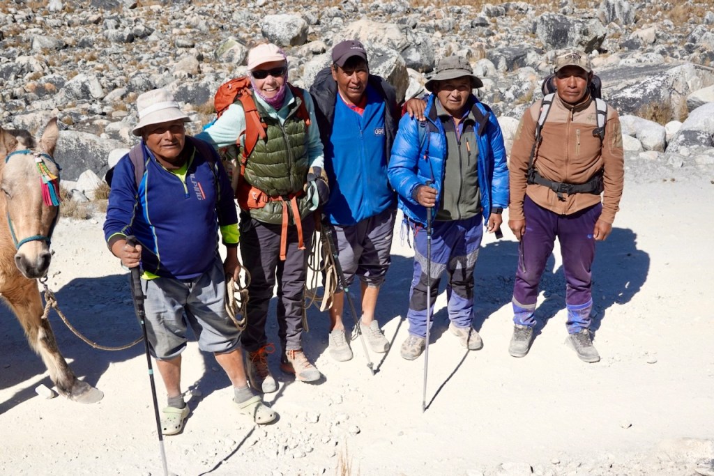
At the trailhead, we met the muleteers who would carry our gear for the first part of the trek. There were two of them: Jaime, who owned three horses, and Walter, who owned three mules. While they loaded our supplies onto the animals, we set off ahead with Celso.
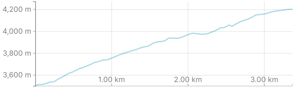
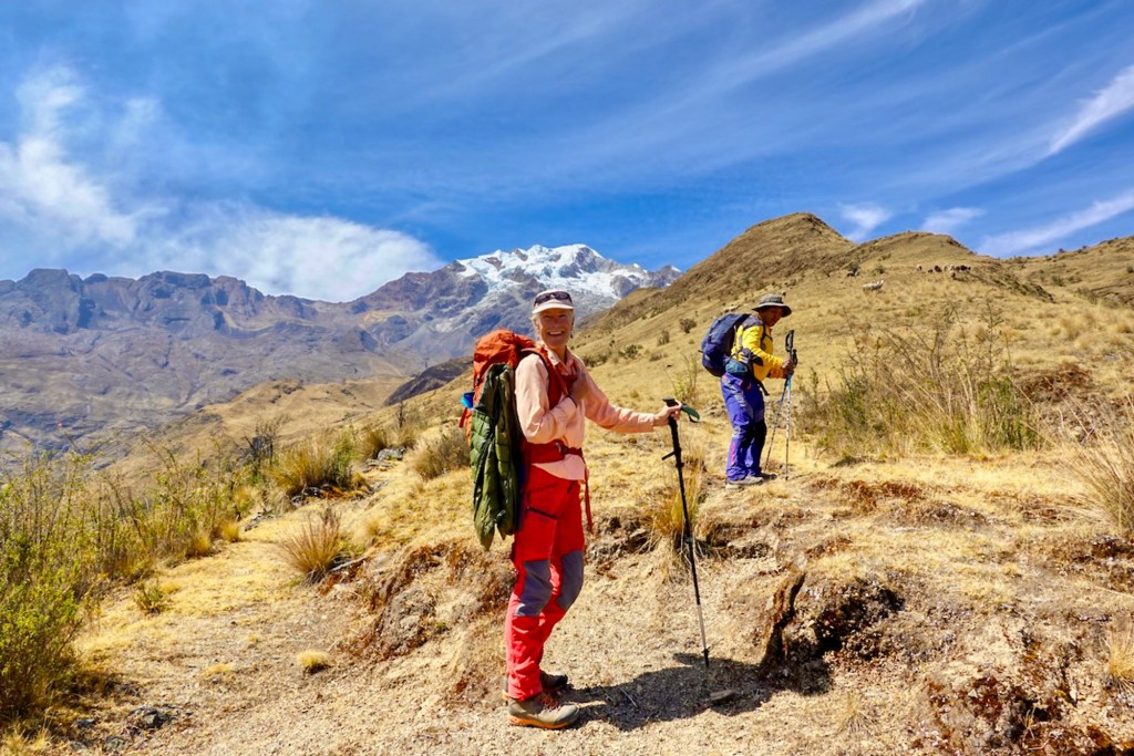
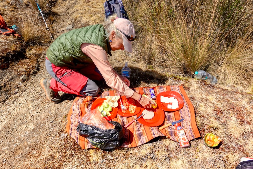
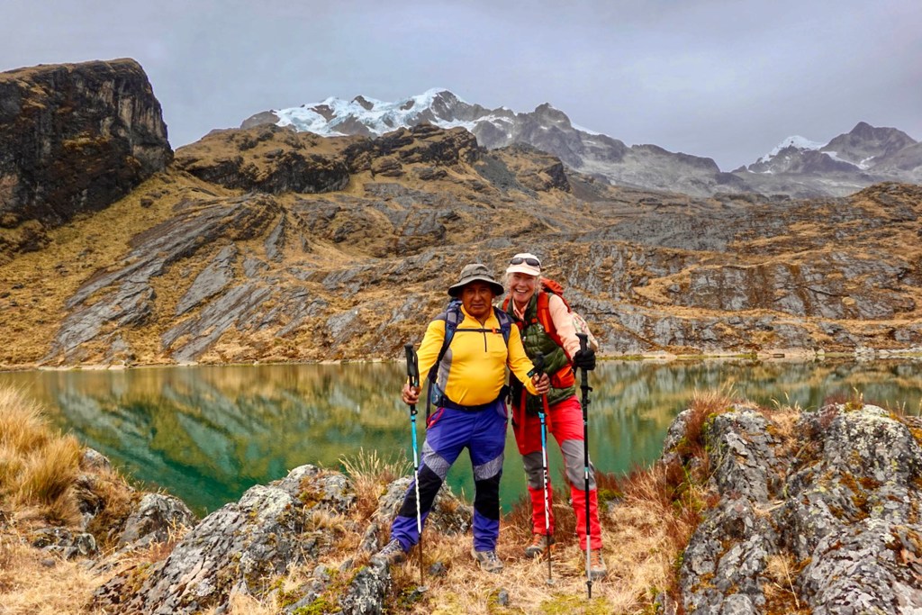
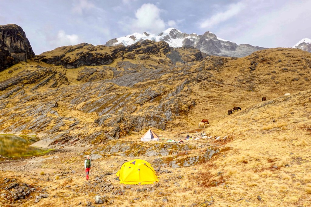
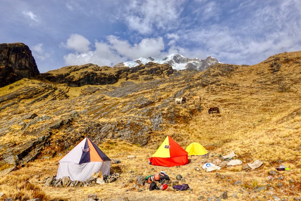
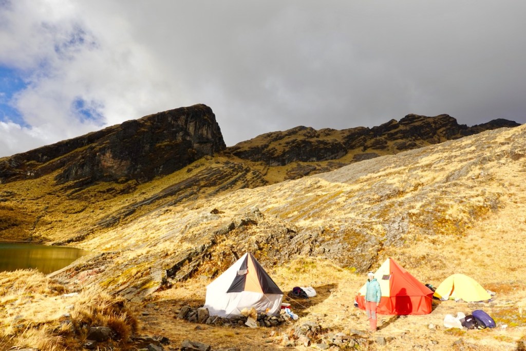
The first day was a short and easy one: just 3 km, though with 680 m of ascent, mostly over grassy slopes. About halfway up, we stopped for a quick sandwich lunch before continuing toward Laguna Chilata. We reached the small lake in the early afternoon. Perched high above the valley, it offered beautiful views of the town below. We were the only group there, so we had the place entirely to ourselves as we set up camp for the first time.
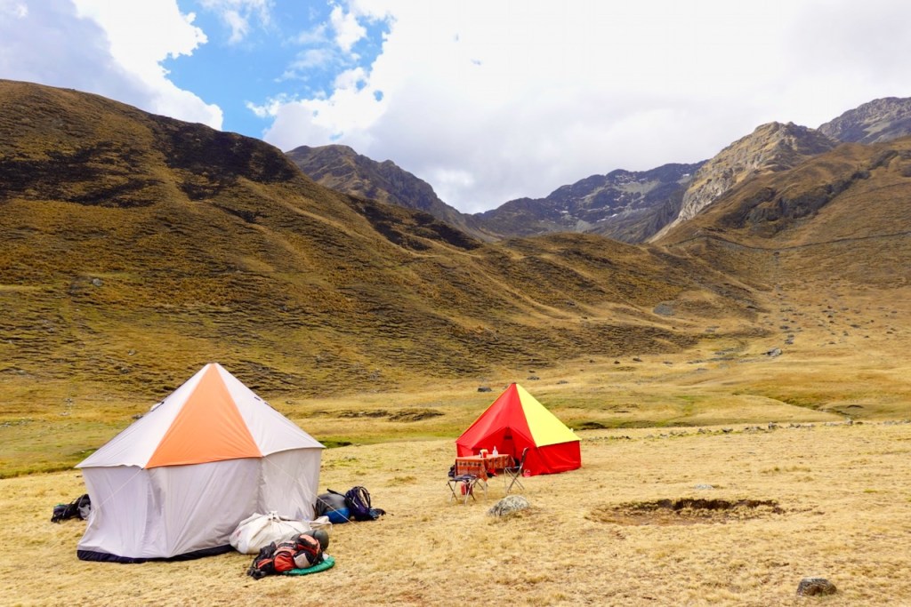
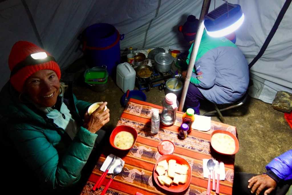
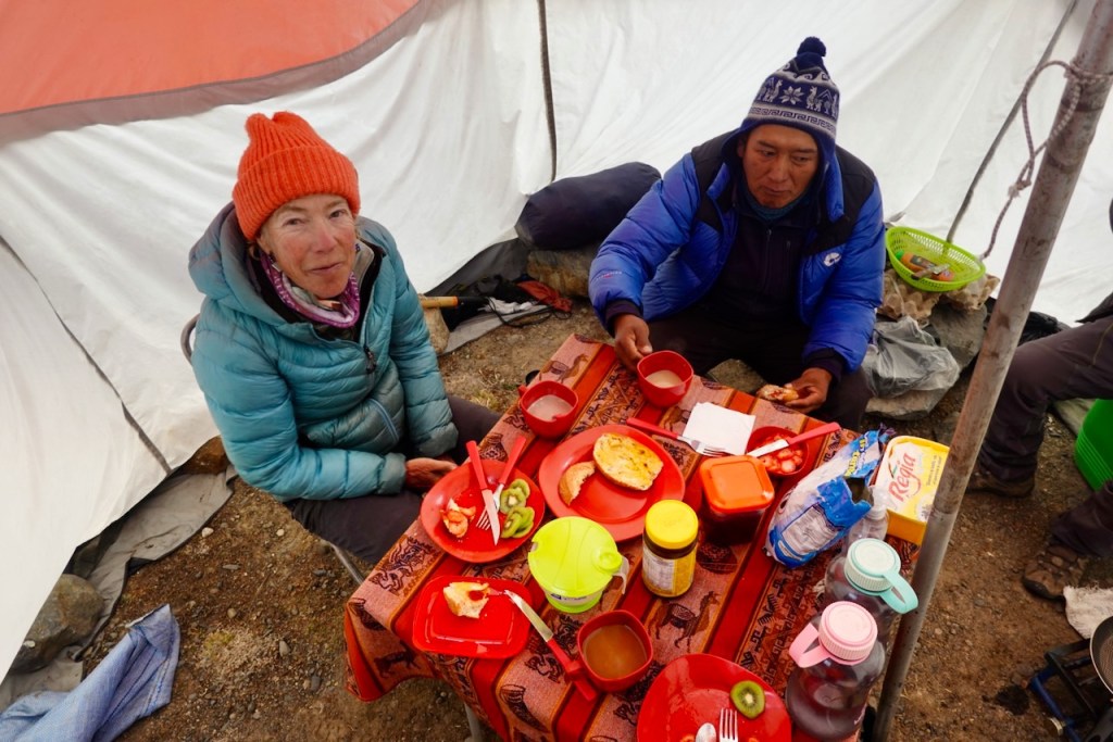
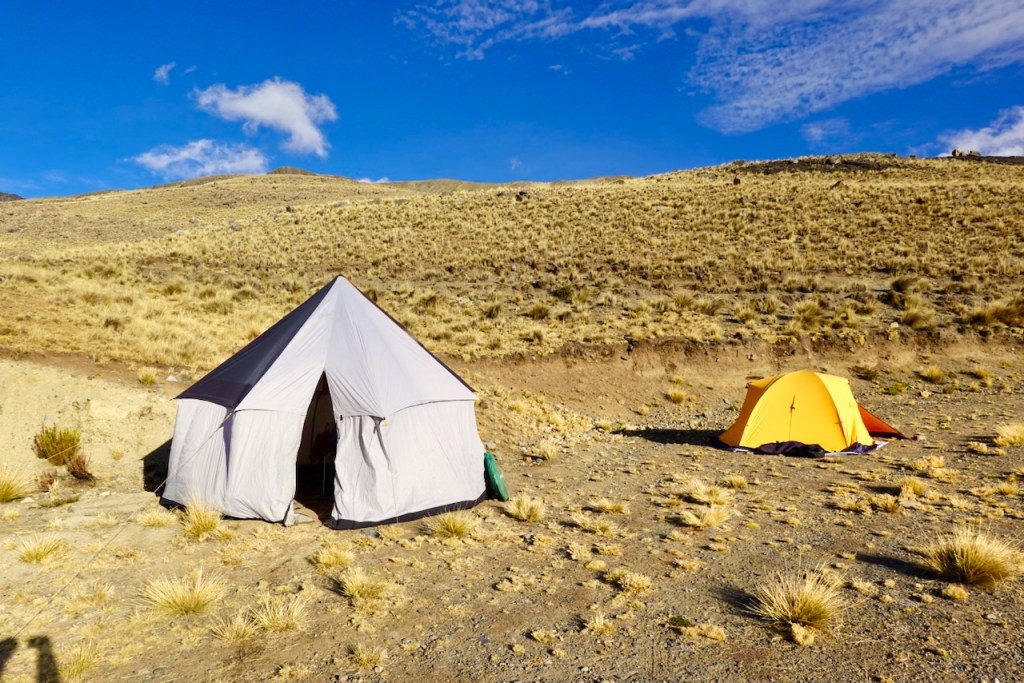
This was also the only night when the crew set up separate cooking and dining tents. For the rest of the trek, we preferred to eat in the cooking tent instead. It was easier for them, warmer for us, and made for a more relaxed and social atmosphere.
Distance 3 km, ascent 680 meters, descent 0 meters
Start of trek (Car drop-off): elevation 3510 meters, latitude -15.78920, longitude -68.60883
Campsite: elevation 4211 meters, latitude -15.800915, longitude -68.589491
Day 2 (2 August 2026): Laguna Chilata – Laguna Glaciar – Laguna Chilata
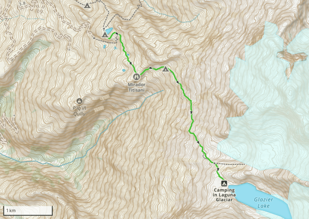
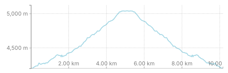
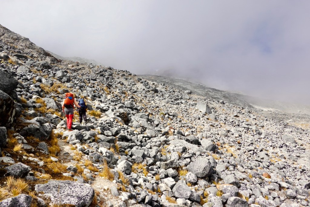
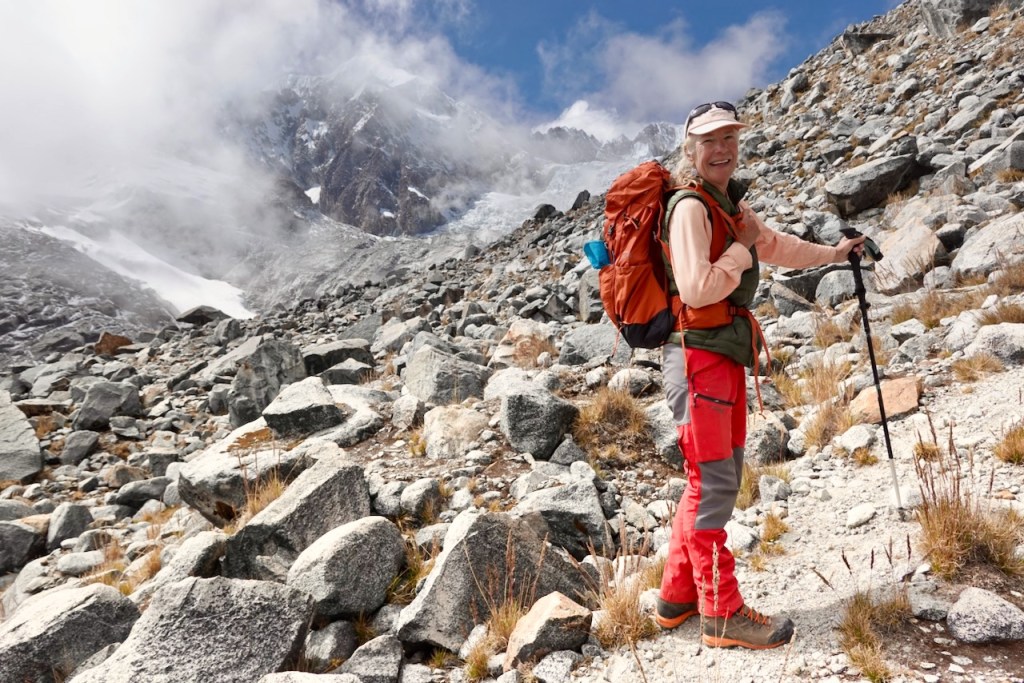
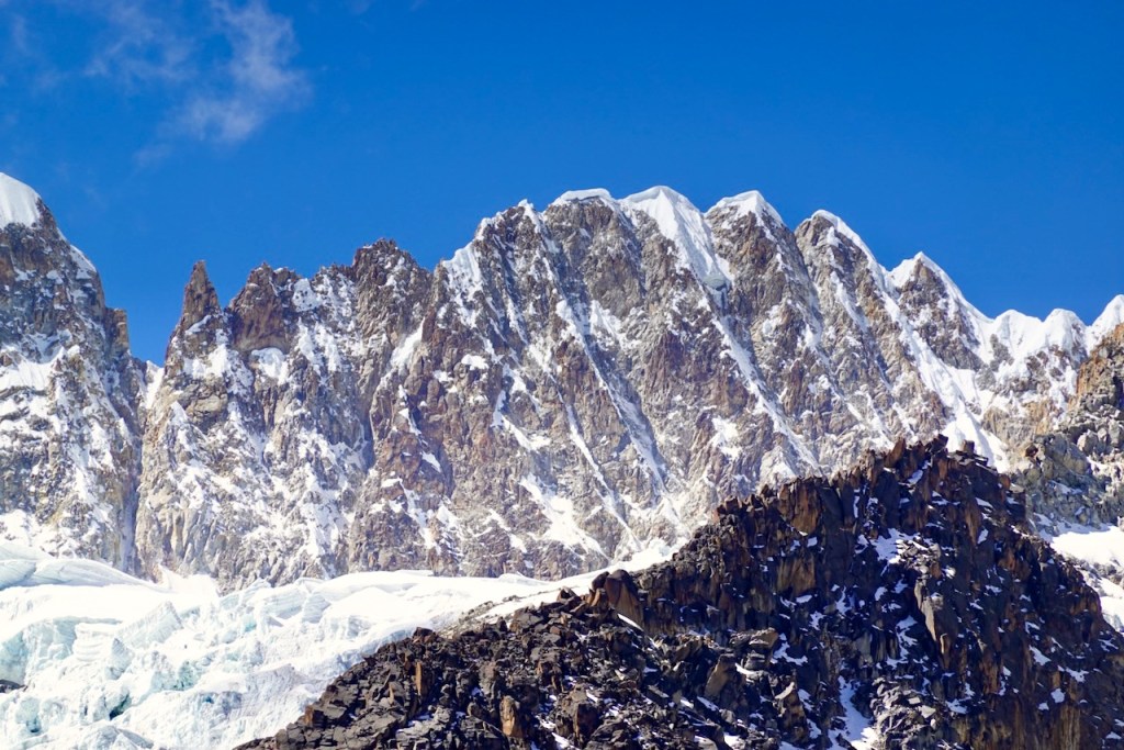
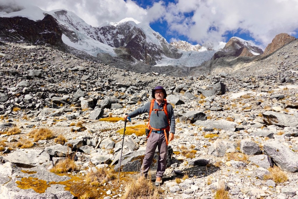
On the second day, Celso and us set out on an excursion to Laguna Glaciar. We took only our daypacks, leaving the camp and the rest of the team behind at Laguna Chilata. Although the laguna was only 5 km away, the route climbed 860 meters to an altitude of 5,039 meters, making it quite an effort if you are not yet fully acclimatized.
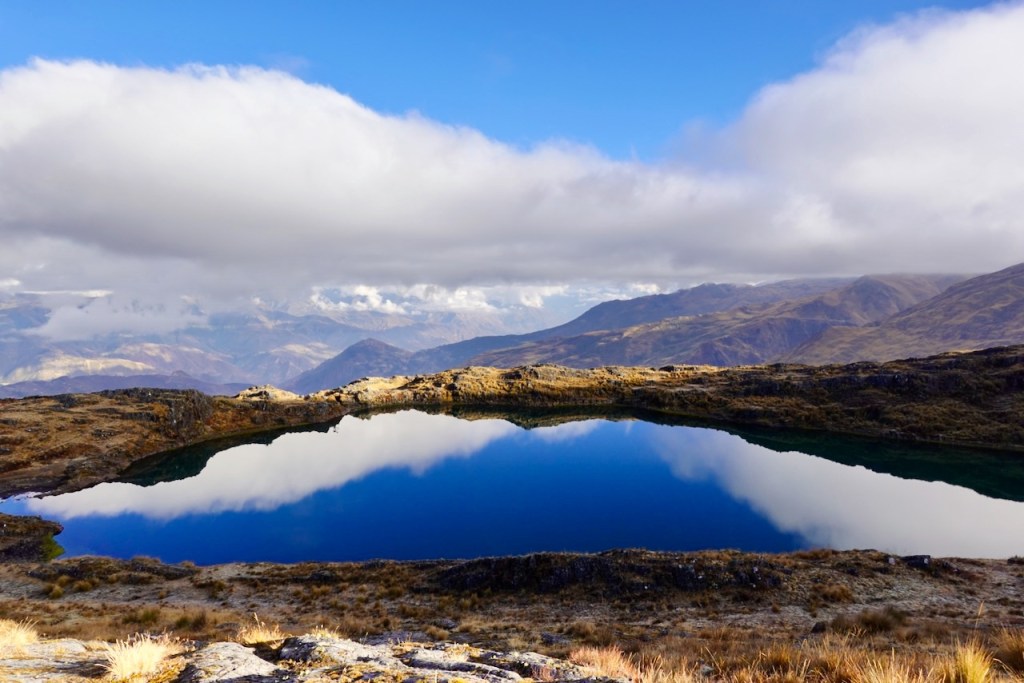
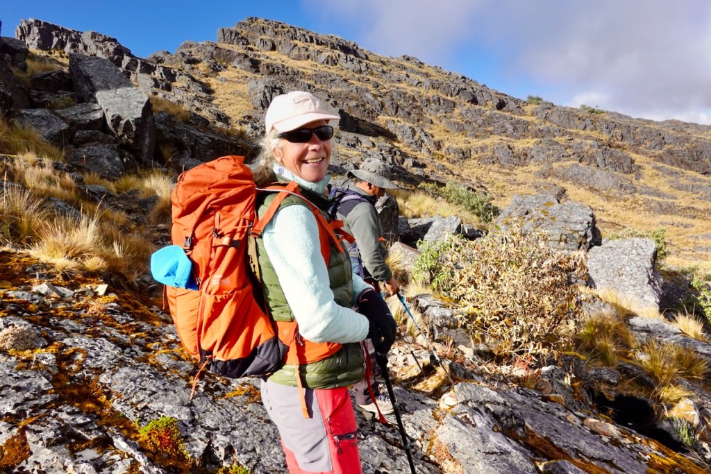
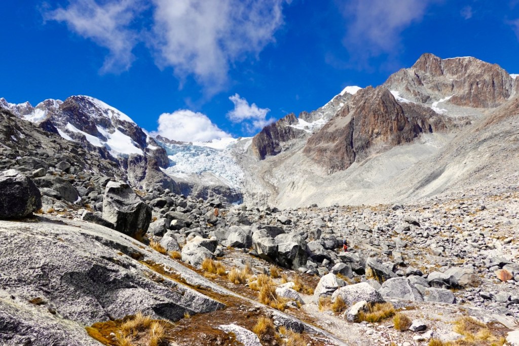
We began by ascending grassy slopes, passing another small laguna along the way, until we reached a long rocky rib with a steep drop on the far side. From there, the trail curved around a large valley, the terrain becoming progressively rockier as we gained altitude. With every step upward, the surrounding mountains came more into view.
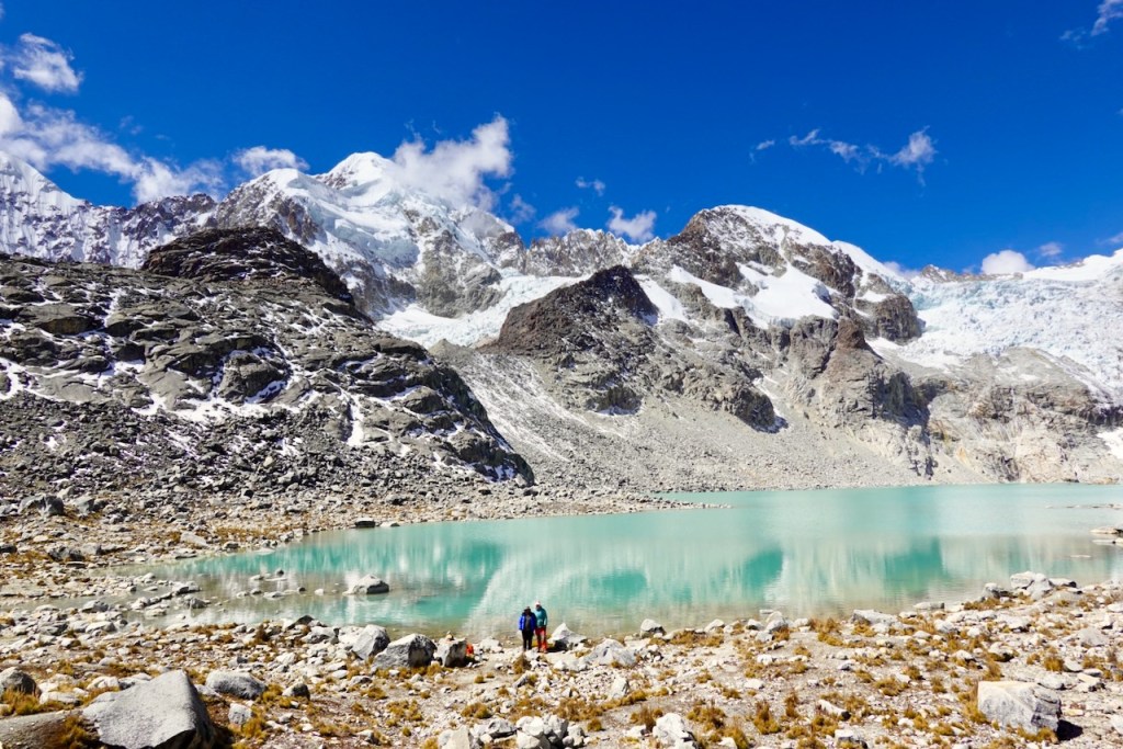
The final section was steeper, with one or two minor scrambles. By then, almost all vegetation had disappeared, and we were moving through an austere landscape of bare rock and scattered boulders. Clouds began rolling in, and for a while it looked as though they might obscure the view entirely. Fortunately, they cleared again just as we reached Laguna Glaciar.
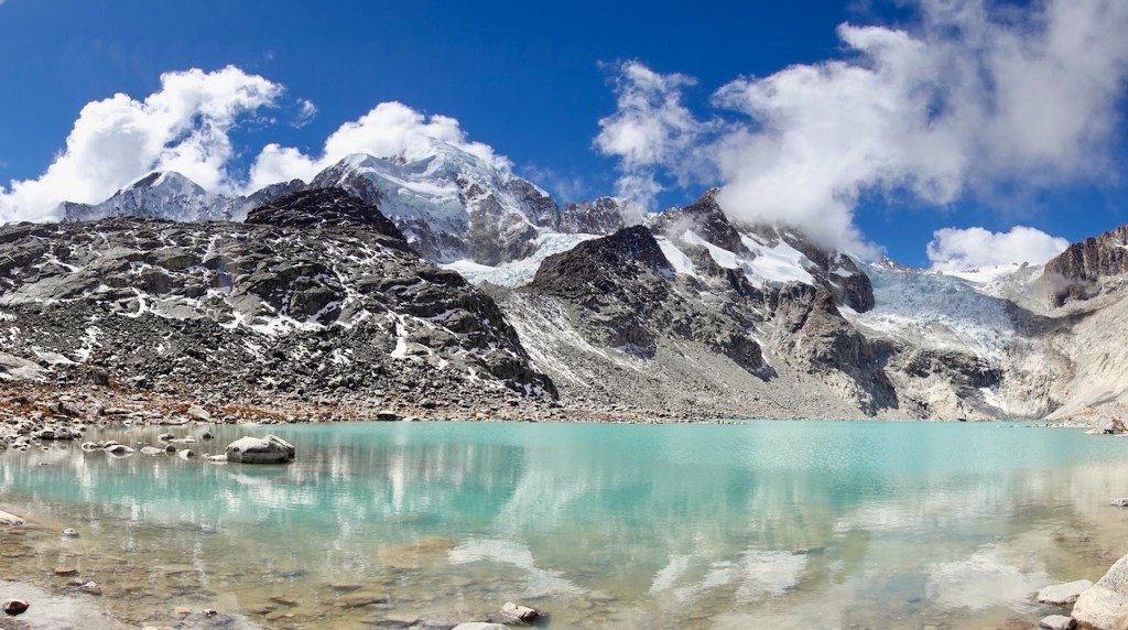
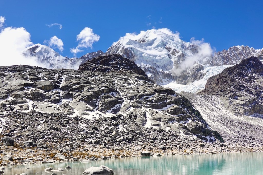
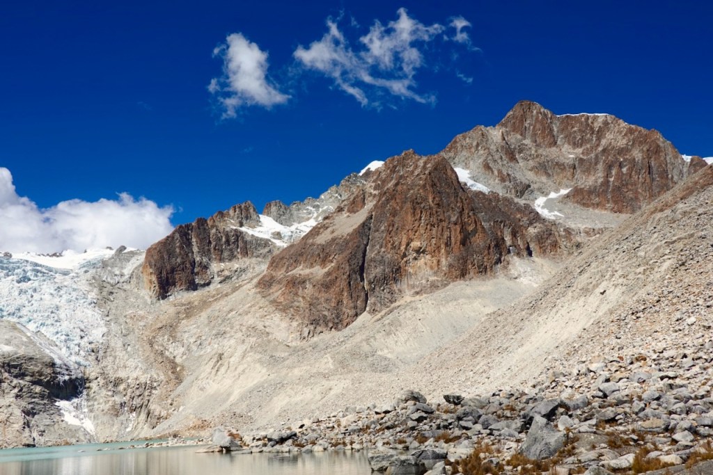
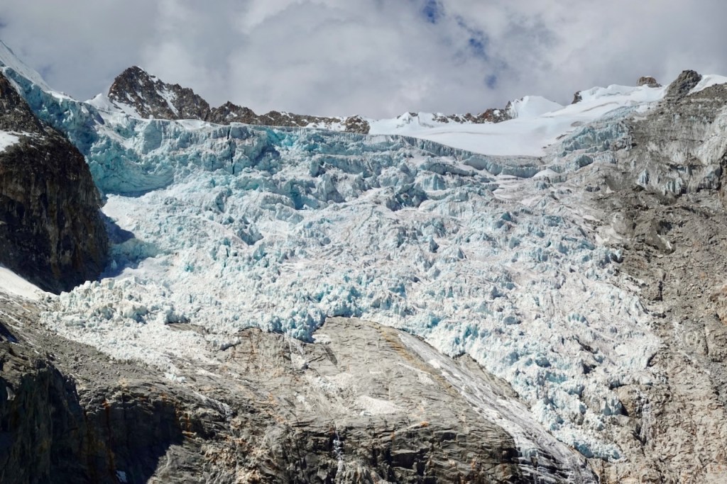
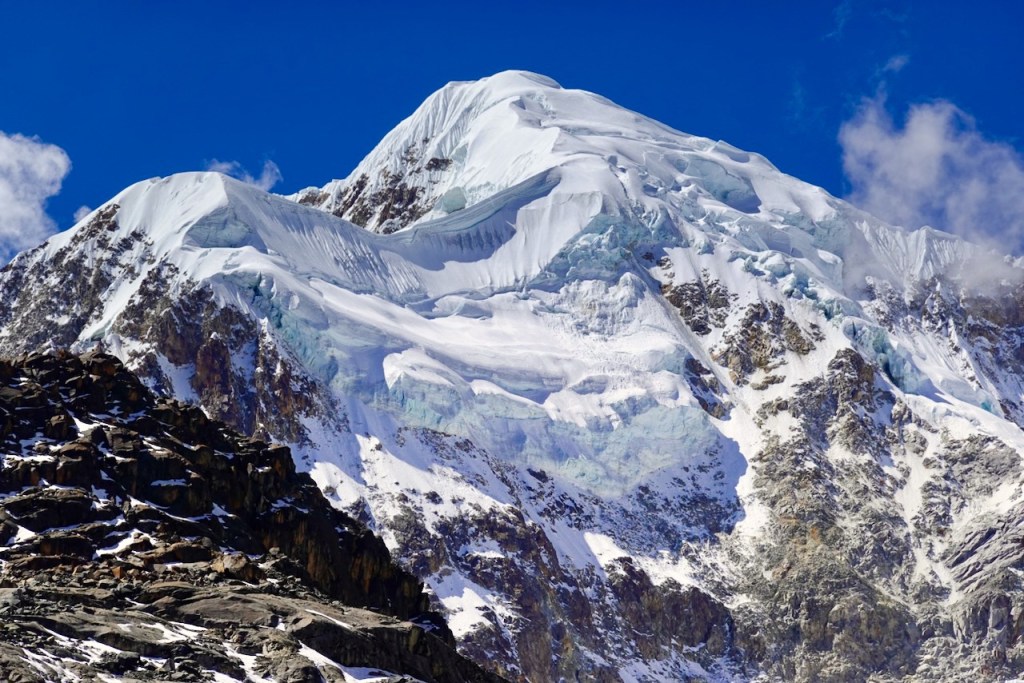
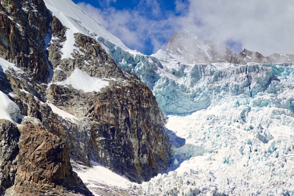
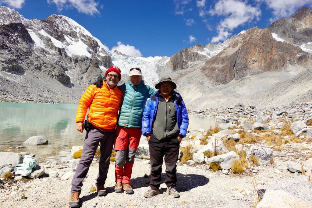
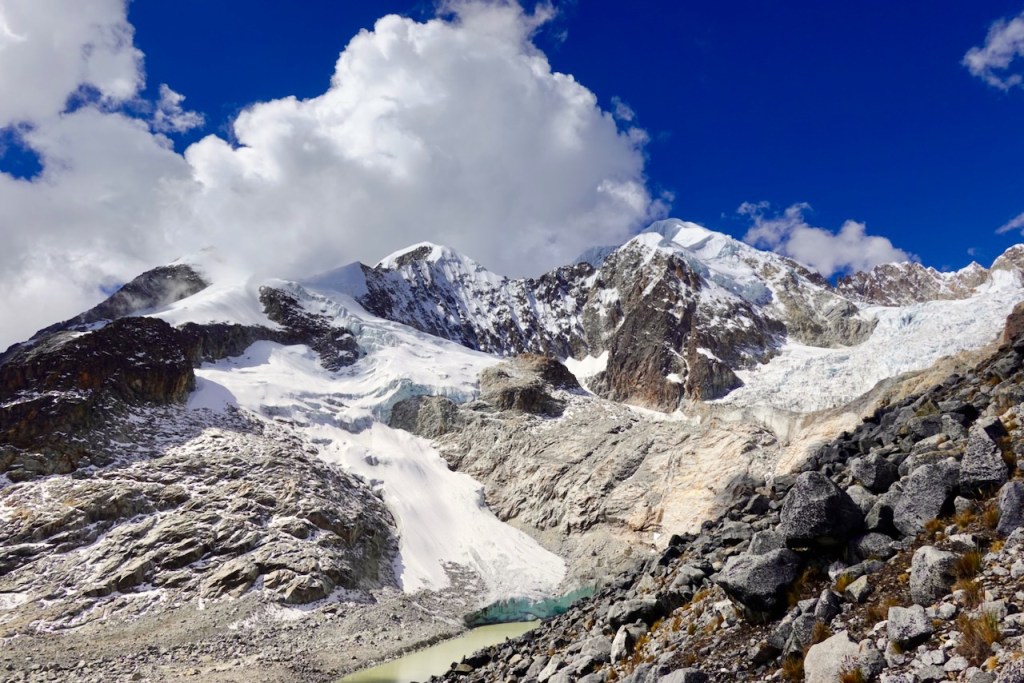
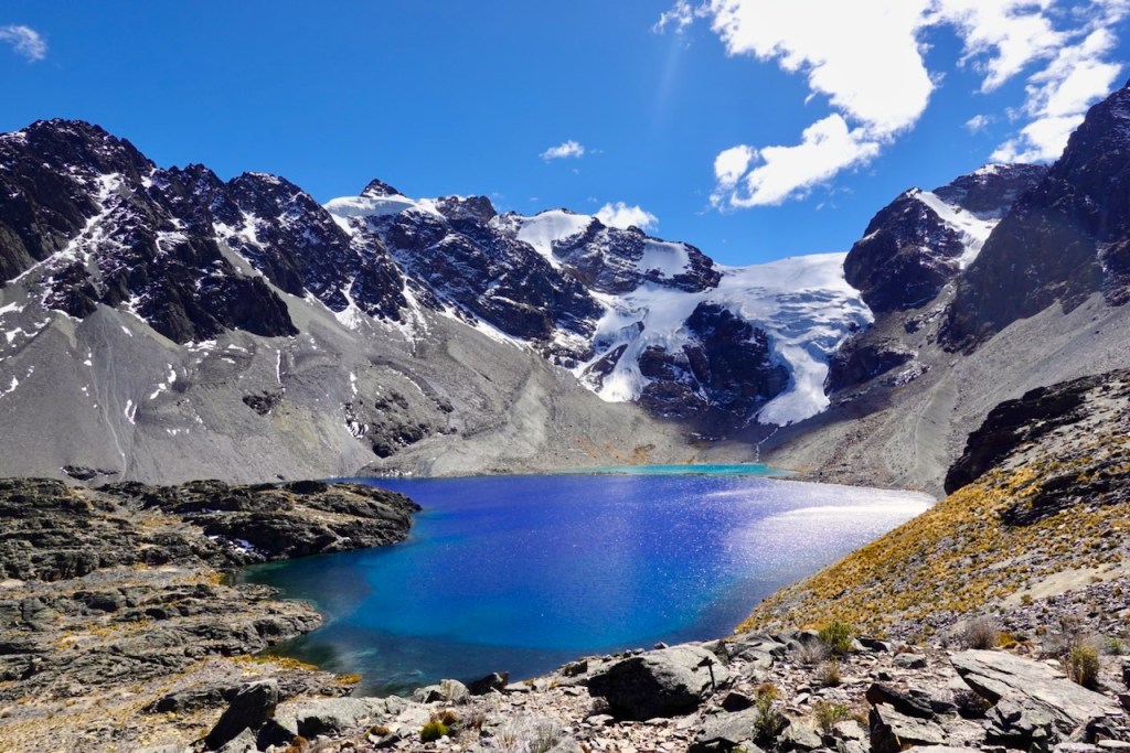
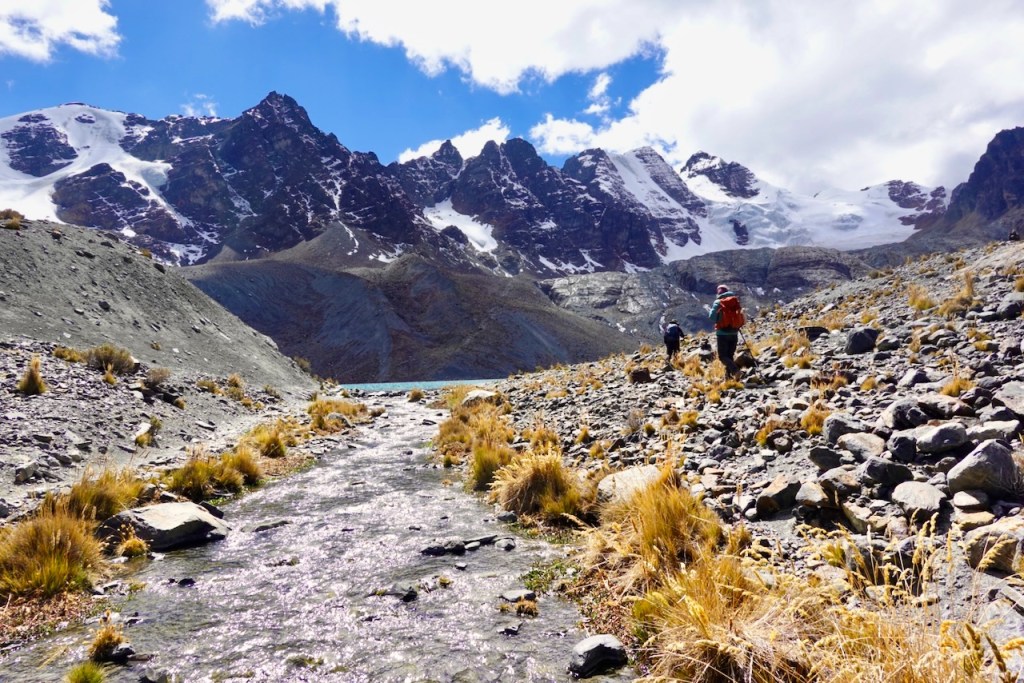
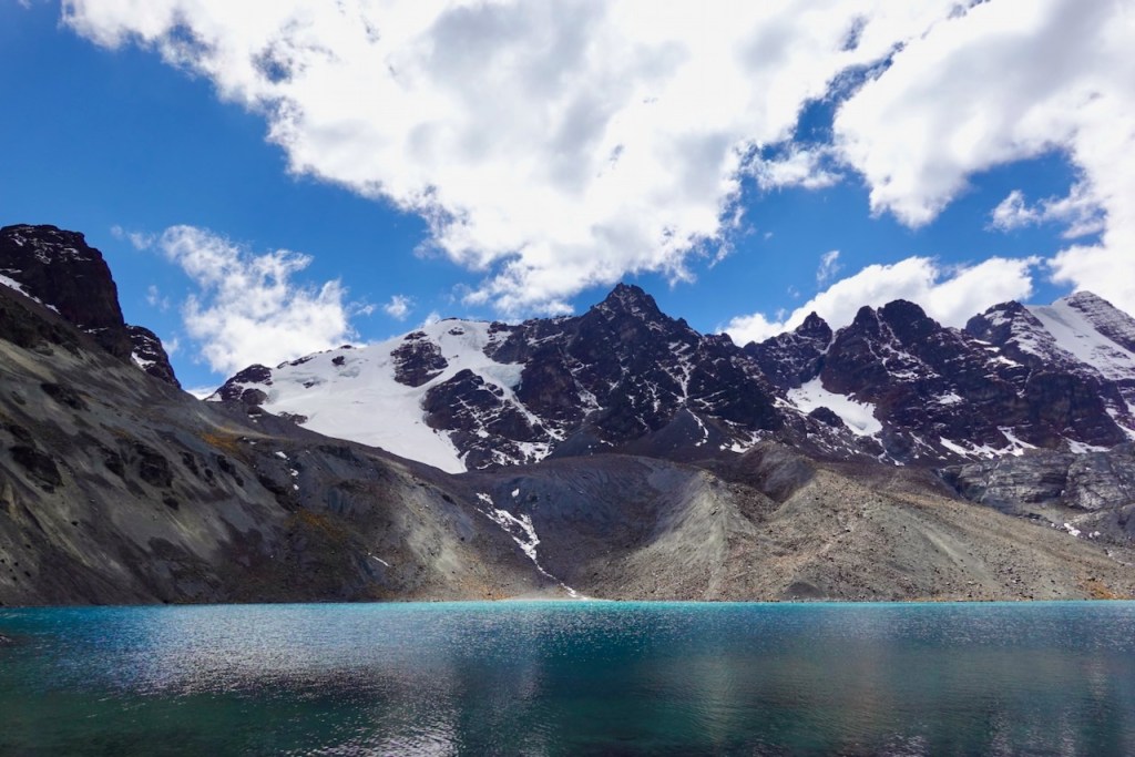
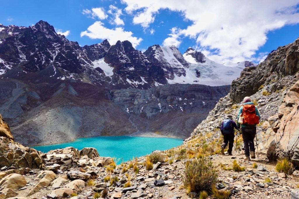
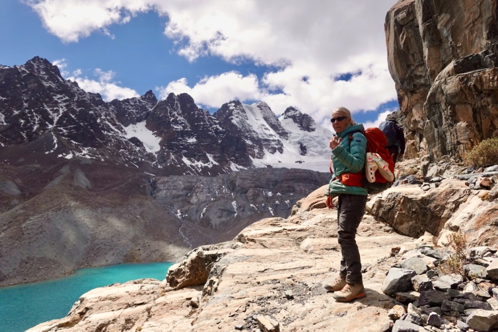
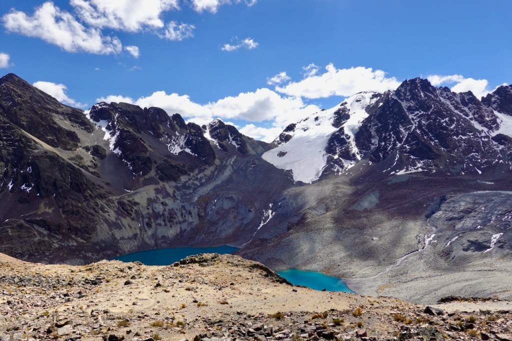
We spent more than an hour at the laguna, eating lunch and soaking up the spectacle before us. On three sides, the lagoon was surrounded by snow-covered peaks rising above 6,000 meters, with a large glacier cascading down toward the lake. Sadly, as a consequence of global warming, the glacier no longer quite reaches the water.
We returned the way we had come and spent another night at the same campsite at Laguna Chilata. By the time we got back, another trekking group had set up camp nearby. They were two Americans traveling the new western route, where mules could not go, and consequently had a large support team of seven porters. They planned to make the same excursion to Laguna Glaciar the following day. They would be the last other tourists we would see for the next twelve days, until we reached Pico de Austria.
Distance 10 km (round-trip), ascent 860 meters, descent 860 meters
Laguna Glaciar: elevation 5039 meters, latitude -15.82878, longitude -68.56664
Campsite: elevation 4211 meters, latitude -15.800915, longitude -68.589491
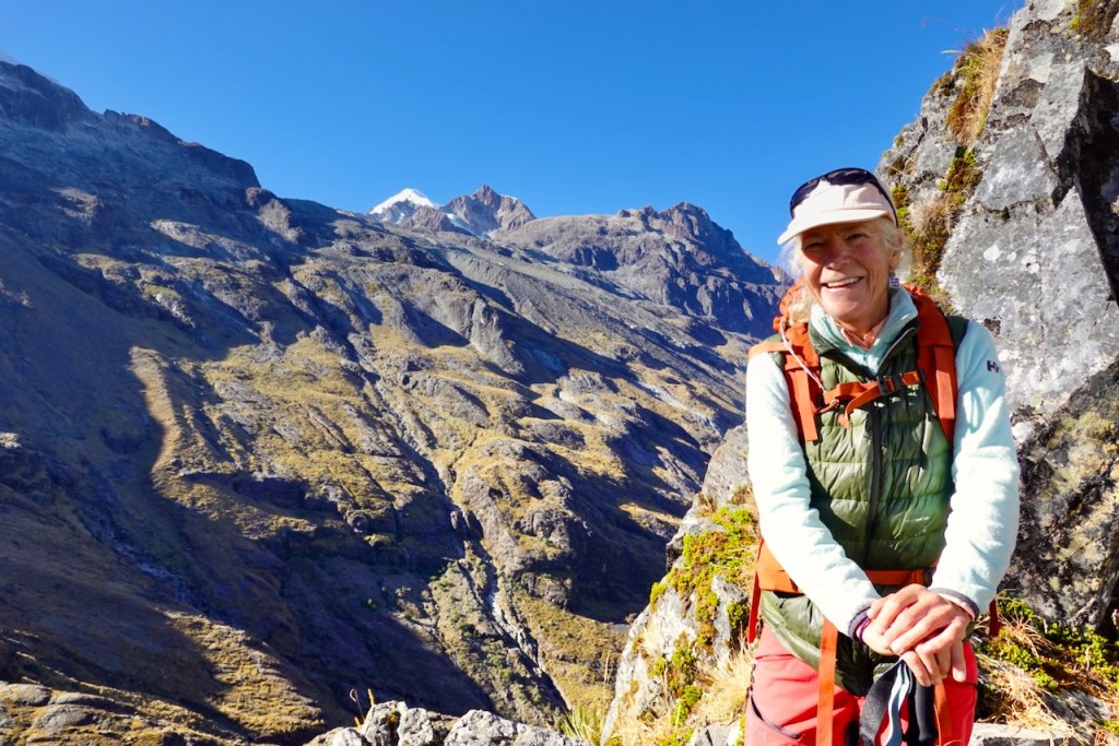
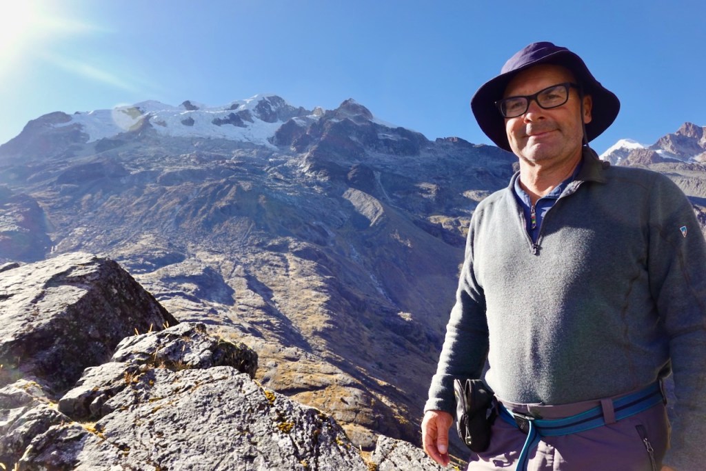
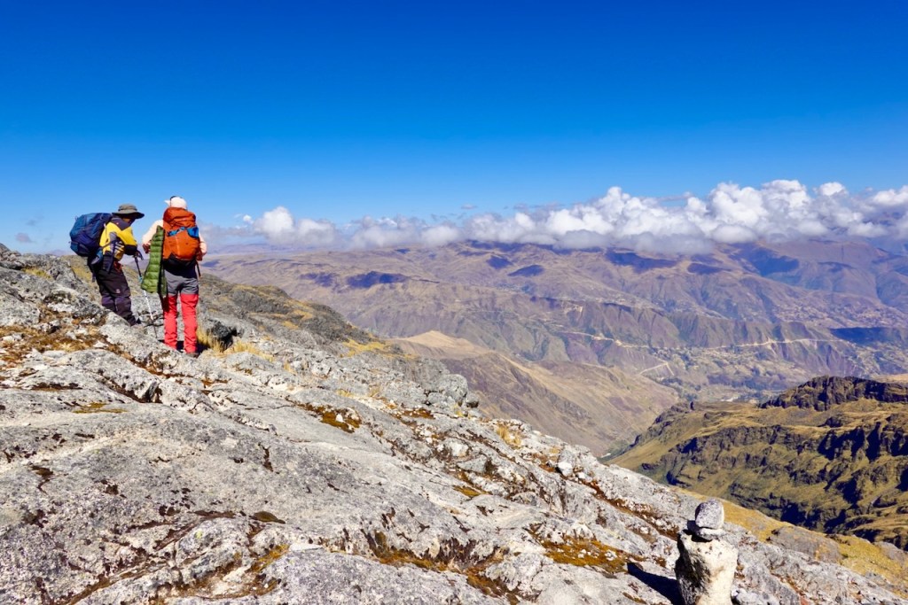
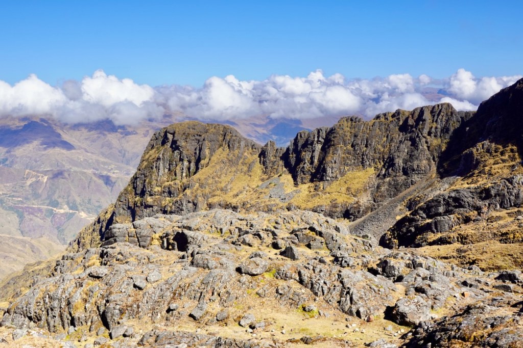
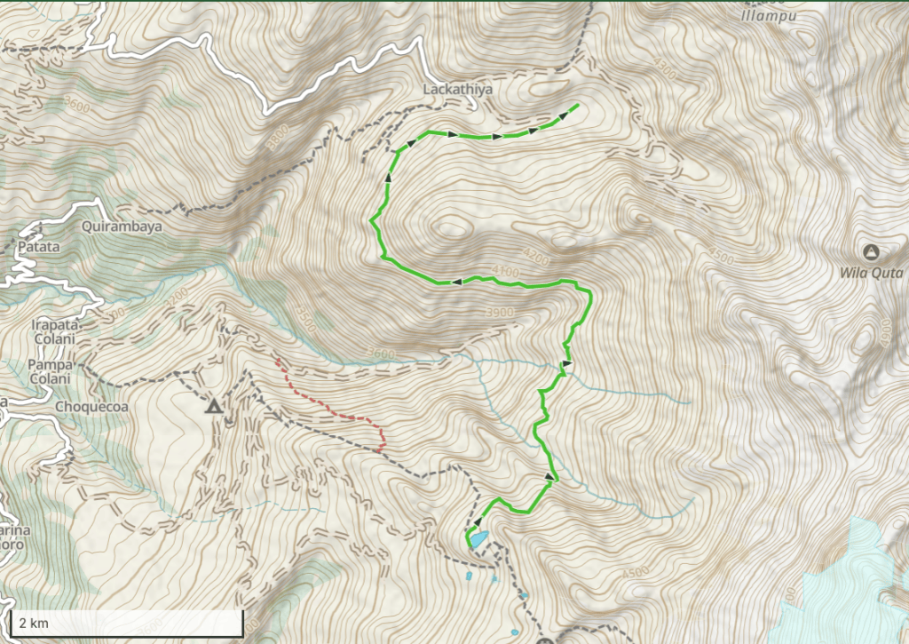
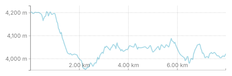
Day 3 (3 August 2026): Laguna Chilata – Camp 1 Circuito Illampu (Lackathiya)
Day three was another short and easy day: only 8 km to the tiny village of Lackathiya, with relatively little ascent or descent.
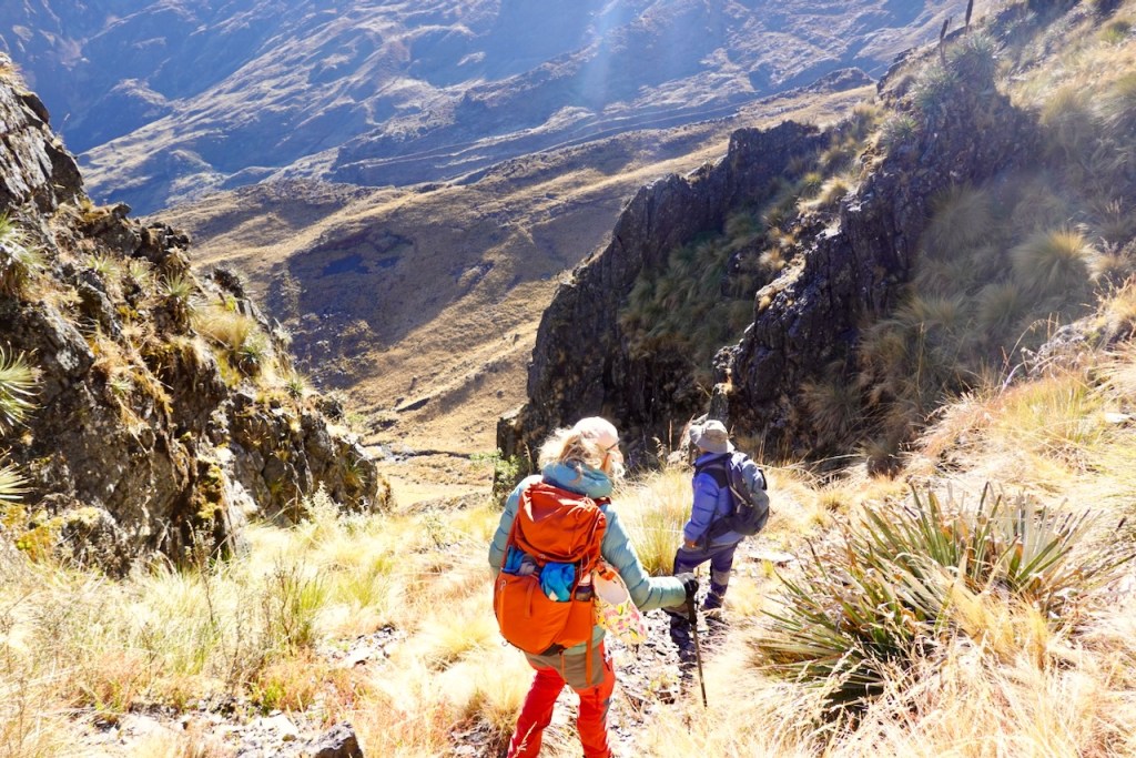
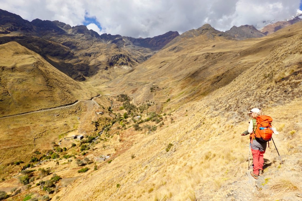
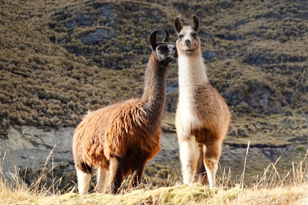
We headed north-east, contouring along the grassy slopes. Soon we reached another rocky rib, followed by a fairly steep descent into a valley with a river running through it. The valley was dotted with grazing llamas. We crossed the river and climbed to the other side, where we took a sharp left and headed west.
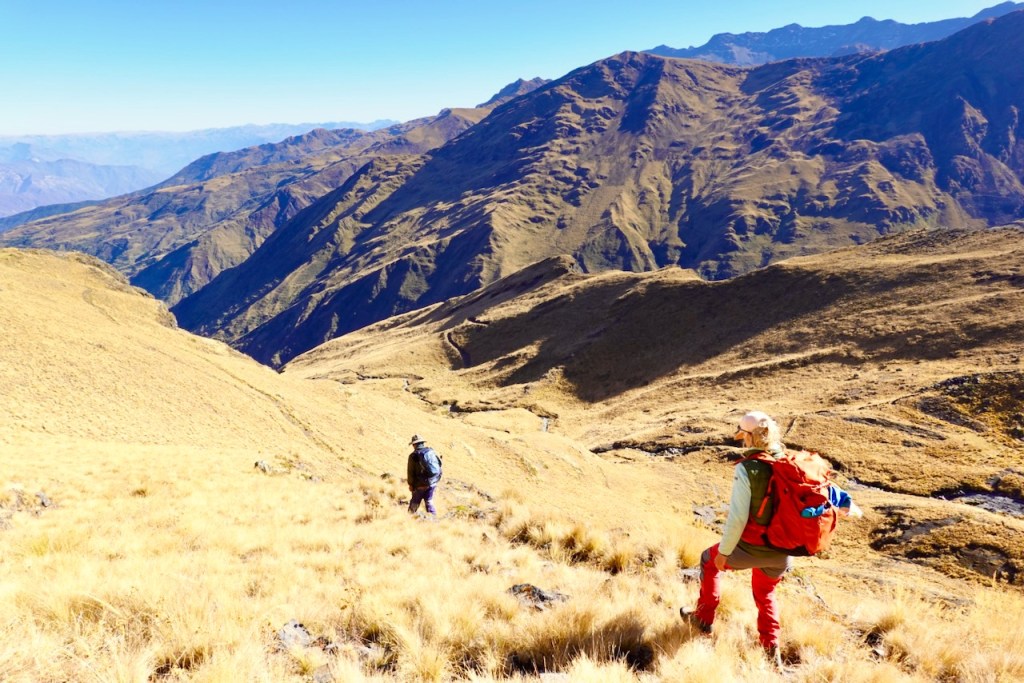
The trail then contoured around the mountain, staying more or less at the same altitude. The slope was quite steep, giving us excellent views of the valley far below on our left. We stopped for lunch to enjoy the views.
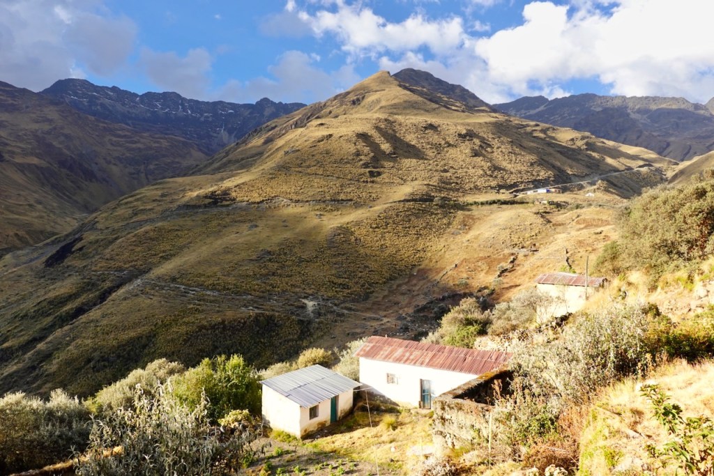
As the trail curved around the mountain, the tiny village of Lackathiya gradually came into view below us in the valley.
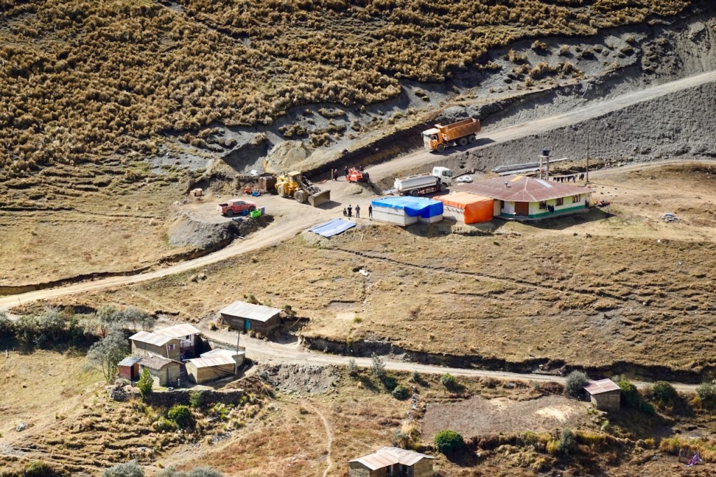
A Chinese mining company is in the process of opening a mine in the mountains beyond Lackathiya. Evidently, opinion in the village is deeply divided over whether the mine is wanted or not. Mining operations have not yet begun; the company is still in the process of obtaining the necessary permits in La Paz. However, they have already nearly completed construction of a dirt road from the village to the mine. As we approached Lackathiya, we could see the heavy construction machinery gathered near the field where trekking groups had previously camped.
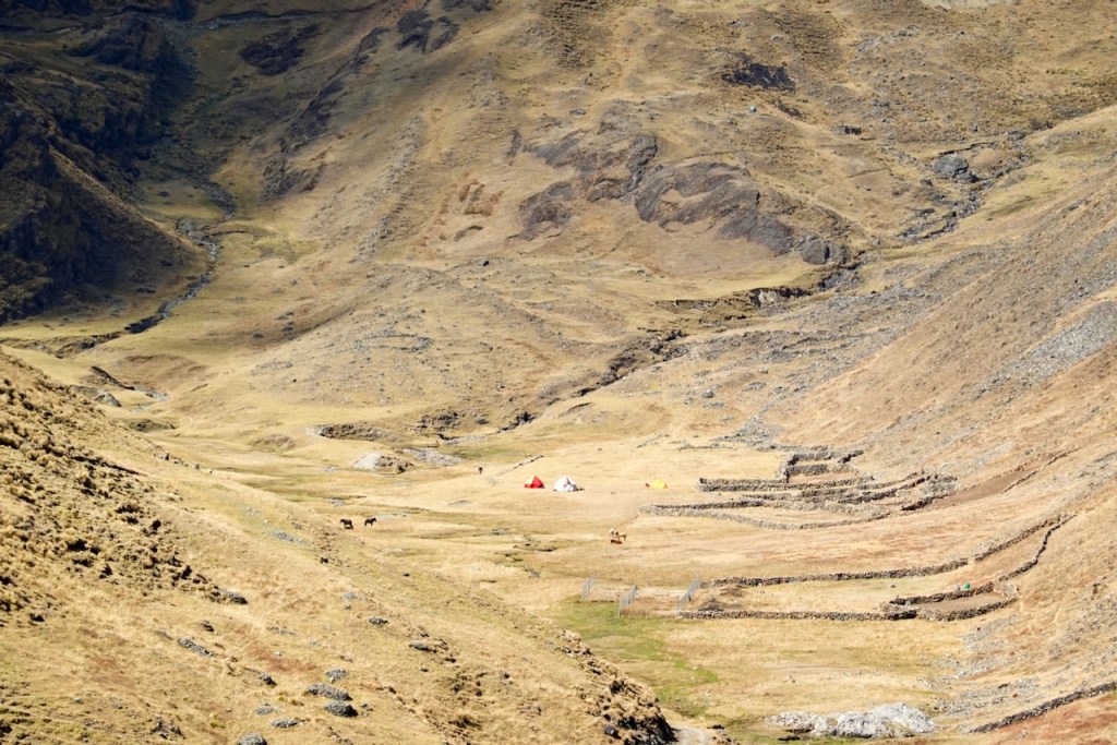
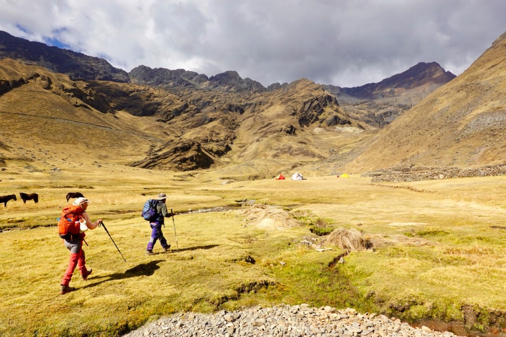
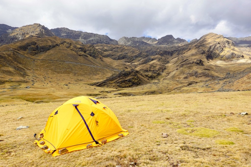
Our muleteers had set up camp near some corrals in a particularly scenic and peaceful valley about a kilometer beyond the village. The camp was close to a small river where locals soak potatoes as part of the process of freeze-drying them. The resulting product, known as chuño, is a Bolivian staple that can be stored for years.
Since it was a short day and we arrived early, we spent the afternoon walking back to the village and exploring it. Not much was happening, and we barely saw anyone. We did, however, visit the house of Jaime, our muleteer, who happened to live in Lackathiya. He took advantage of the opportunity to sleep in his own house that night rather than in a tent at camp.
Distance 8 km, ascent 360 meters, descent 520 meters
Campsite: elevation 3992, lattitude -15.767945, longitude -68.581788
Day 4 (4 August 2026): Camp 1 Circuito Illampu (Lackathiya) – Camp 2 Circuito Illampu (near Ancoma)
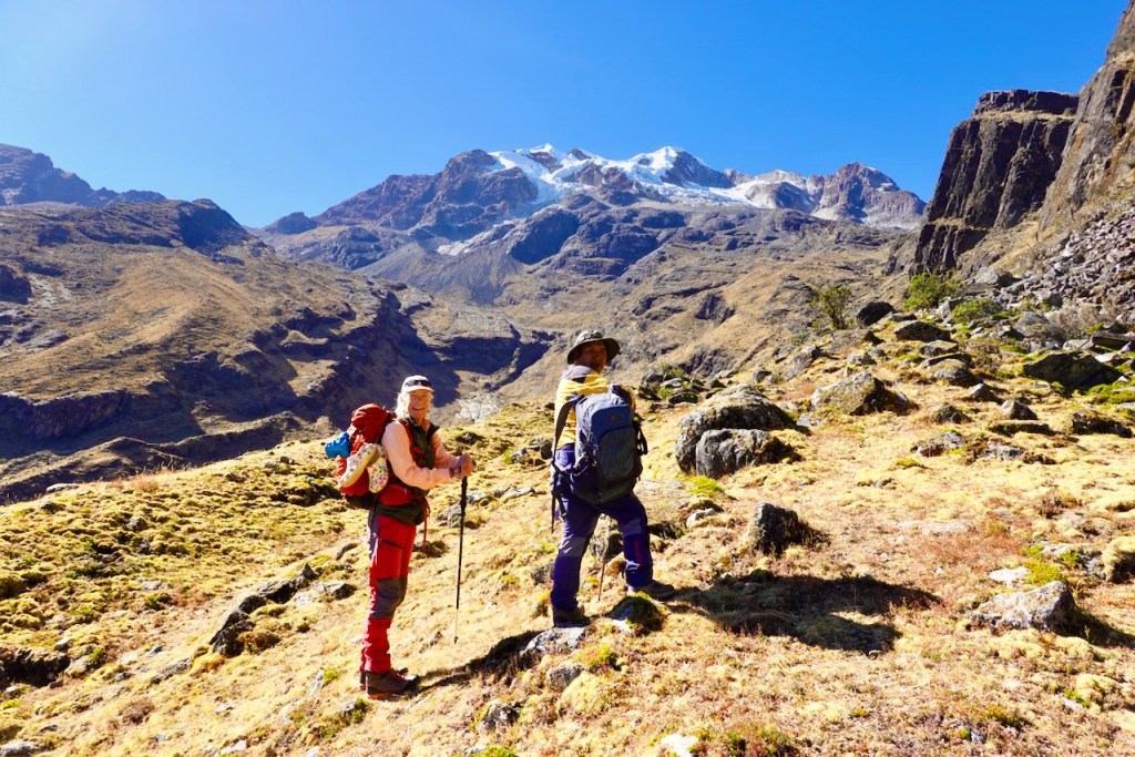
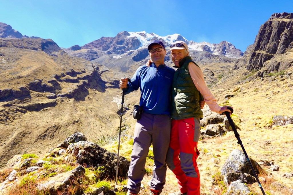
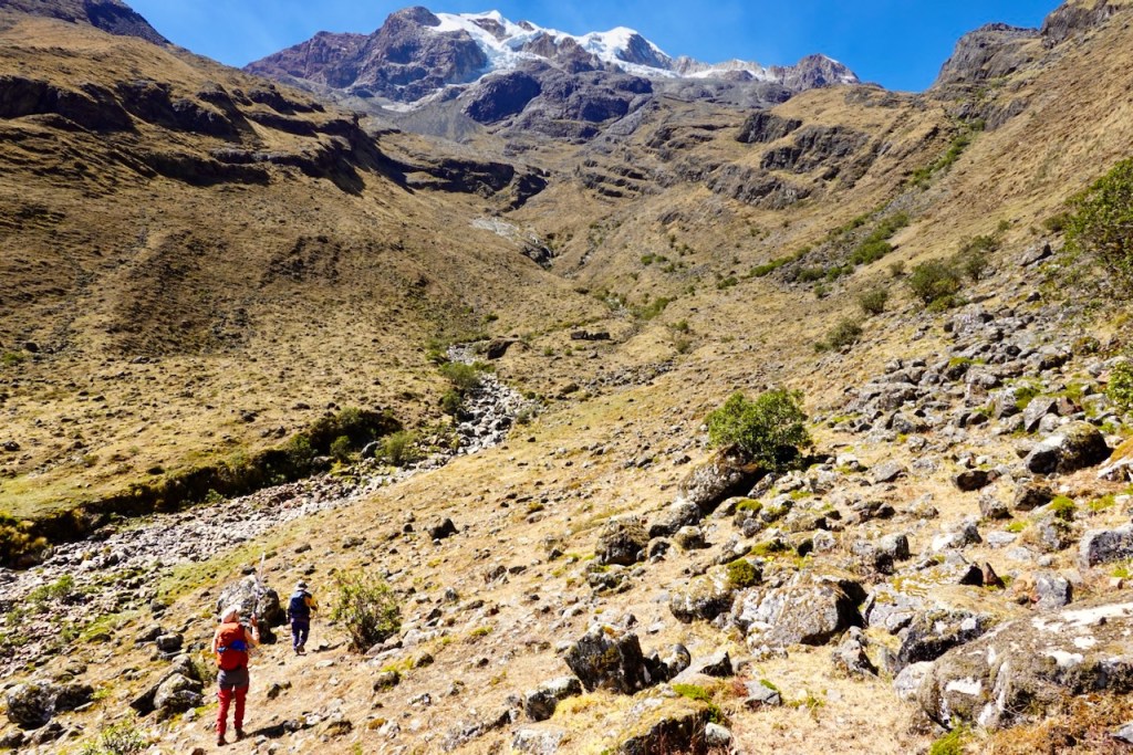
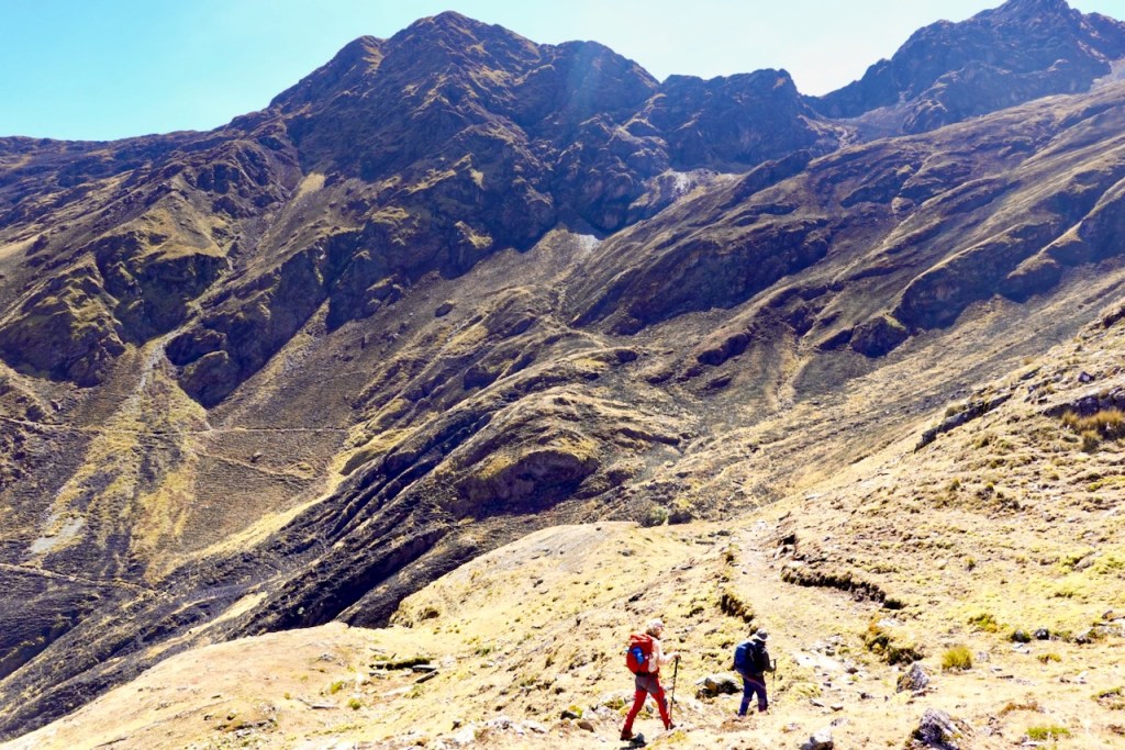
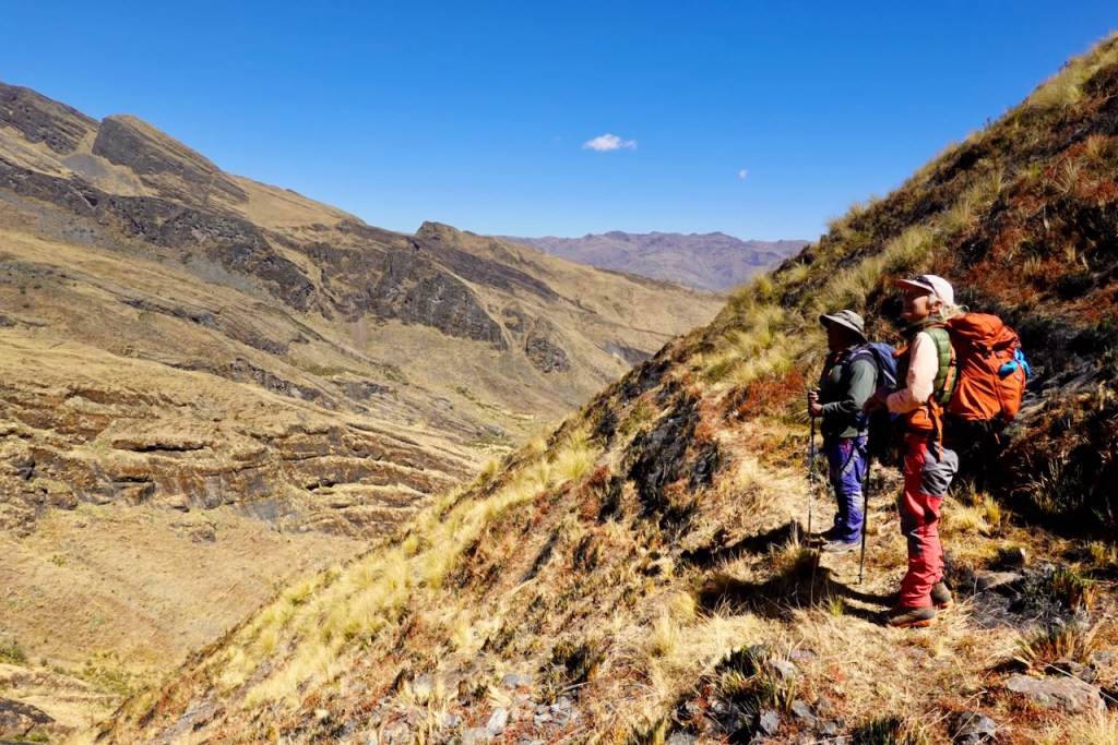
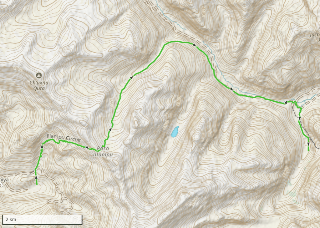
Day 4 started with an ascent up the grassy northern side of the valley. Looking back, we could see our camp far below as it was being packed up.
As the trail veered eastward toward Paso Illampu at 4,750 meters, the views opened up. In the distance, we could see the backside of the snow-capped mountains we had visited on day 2 during our excursion to Laguna Glaciar.
Now that we were higher, we could also see the incredibly steep dirt road that the Chinese mining company had built toward the mine, which was located high in the mountains.
At the pass, the horses and mules passed us and continued ahead while we paused to take in the views.
The other side of the pass brought a very gentle descent into a wide, grassy valley that slowly curved to the right, toward the east.
At the end of the valley, it joined another valley with a river and a dirt road. We turned right (south-east) into this valley and followed the slope high above the road for a while. Eventually, we descended to the road itself and walked along it for most of the remainder of the day. There was hardly any traffic – only two cars and a motorcycle passed us.
Gradually, more signs of civilization began to appear. First came herds of llamas. Then we passed a lonely building, which appeared to be a water-treatment facility.
After a couple of hours on the dirt road, we turned right (south) again onto a smaller road heading south into a side valley, passing several herds of sheep along the way. Strangely, there was also a meticulously maintained soccer field in the middle of nowhere.
About a kilometer into the narrow side valley, we arrived at a beautiful and peaceful campsite surrounded by rugged mountains. The muleteers had already set up camp and were excited: they had seen and filmed a bear chasing some sheep.
Distance 12 km, ascent 720 meters, descent 800 meters
Pass: elevation 4750 meters, latitude -15.759286, longitude -68.566811
Campsite: elevation 3882, latitude -15.758600, longitude -68.518101
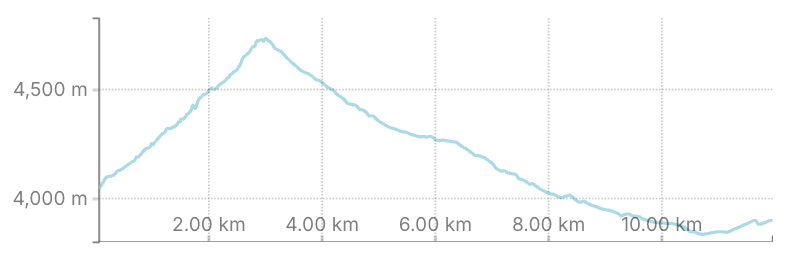
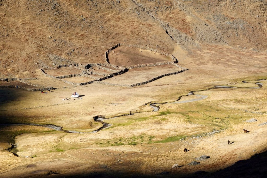
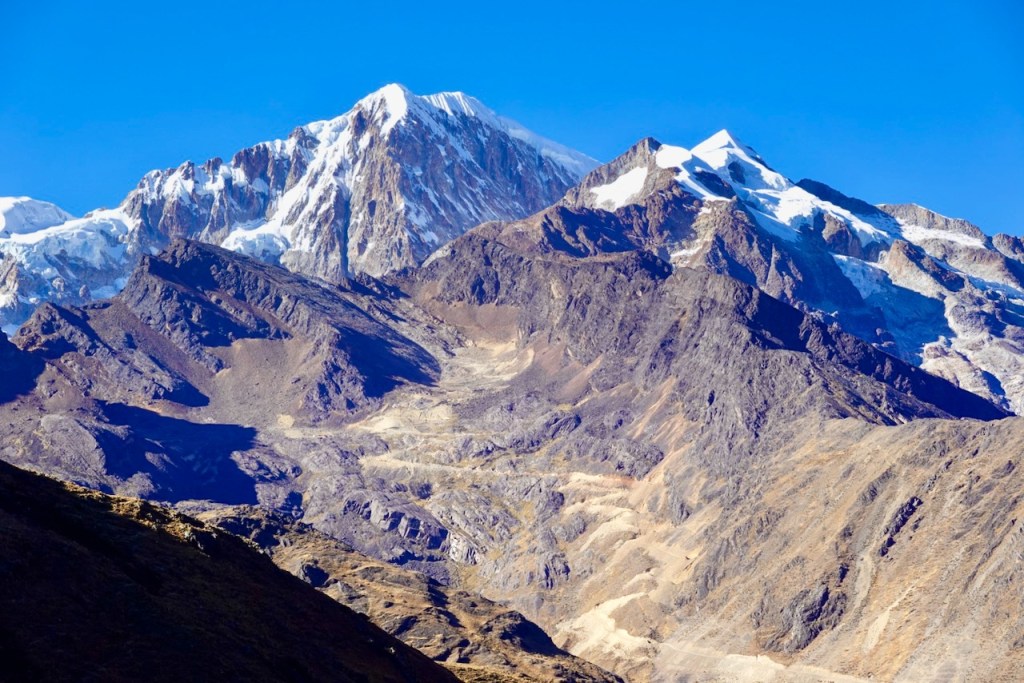
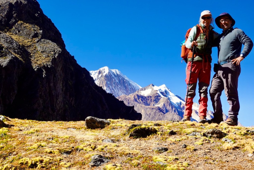
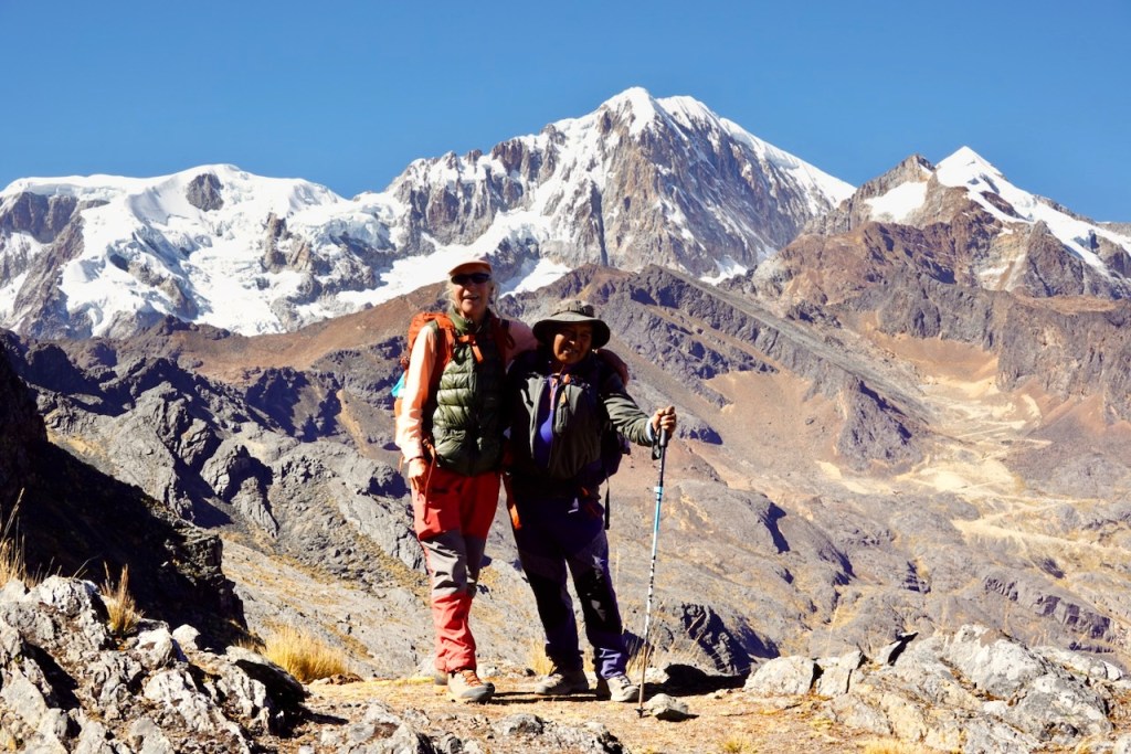
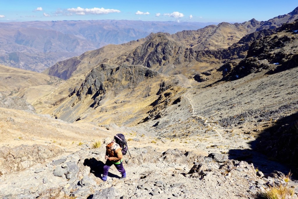
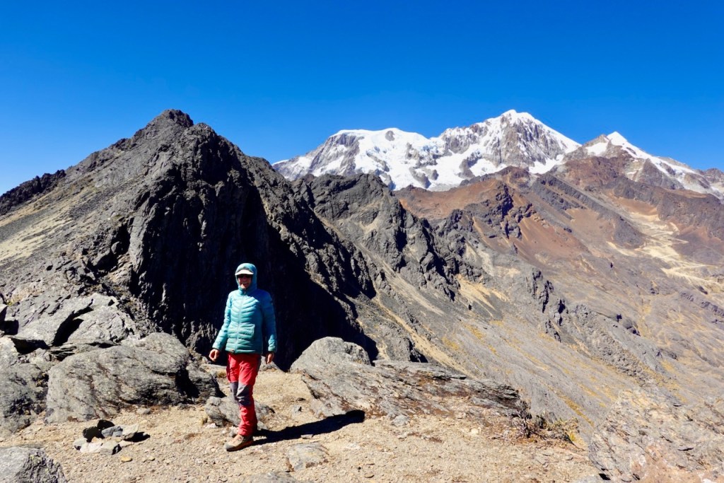
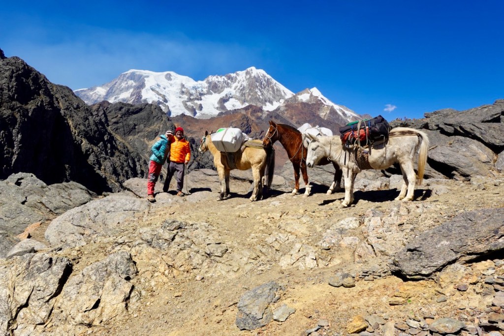
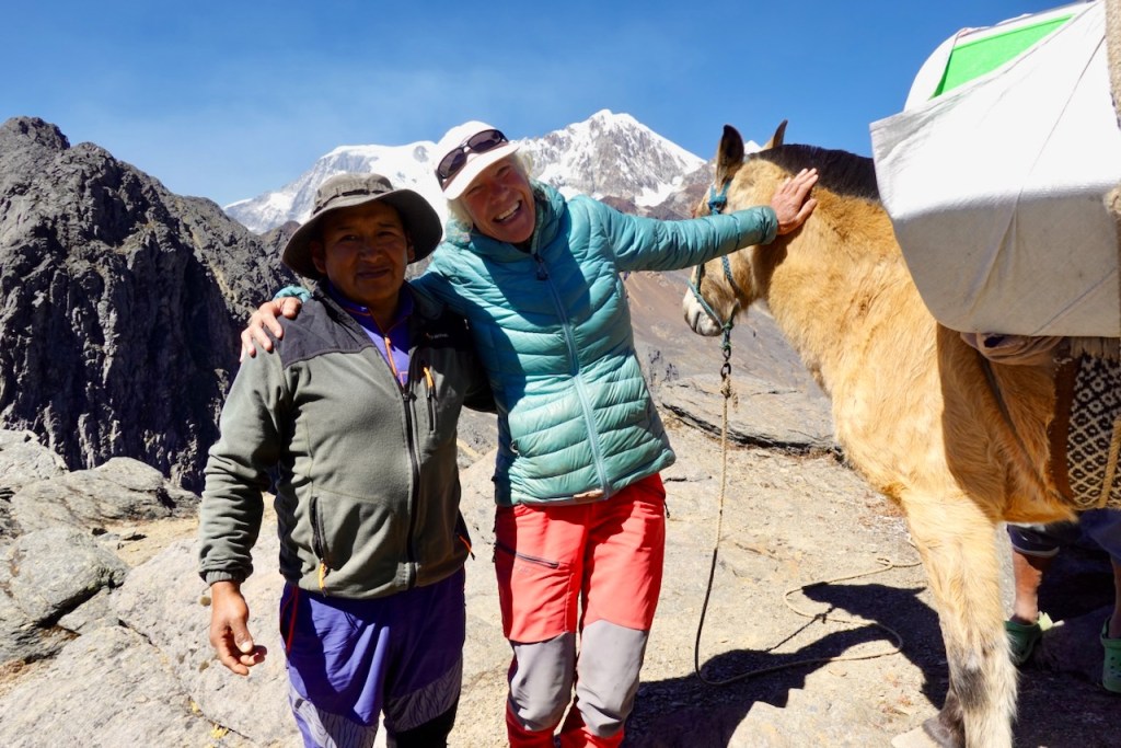
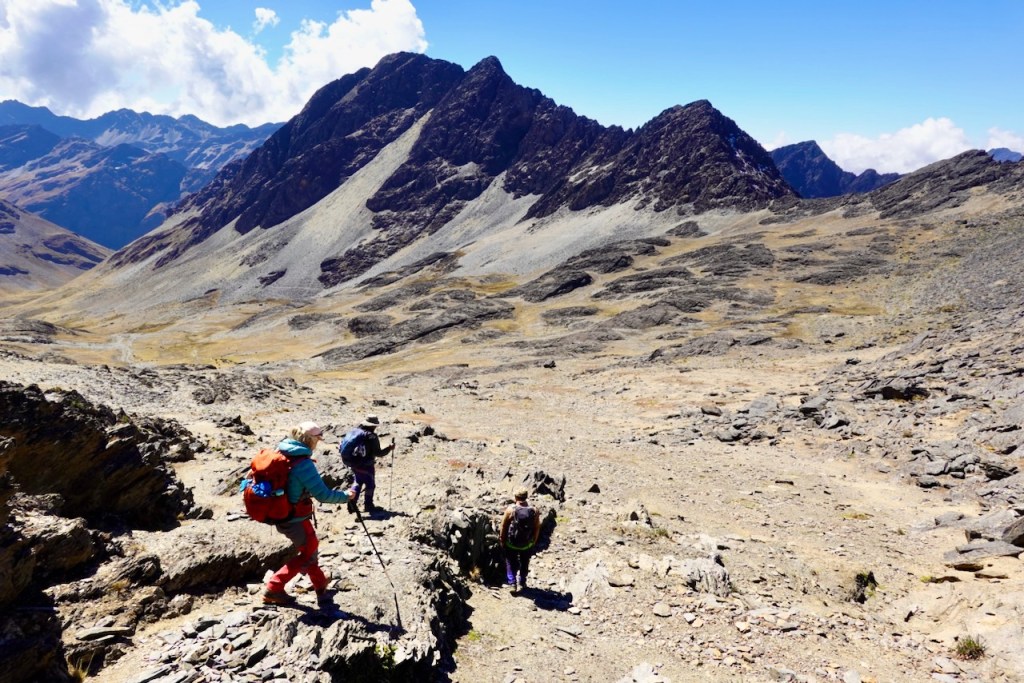
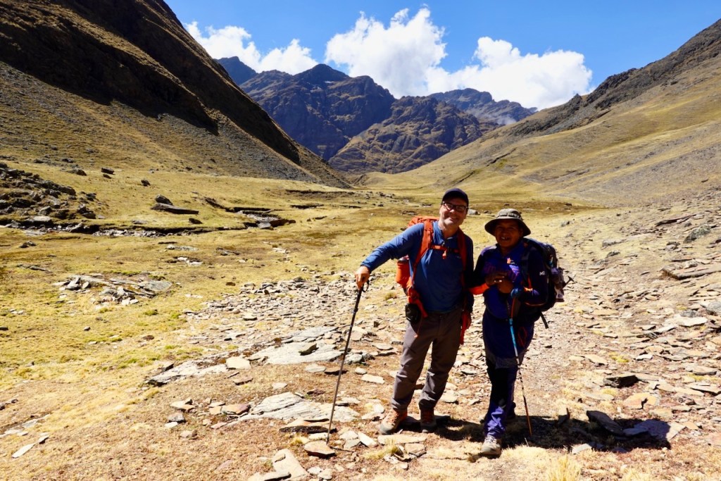
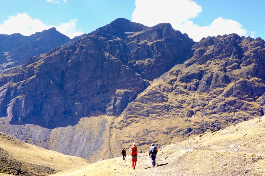
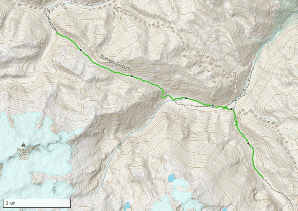
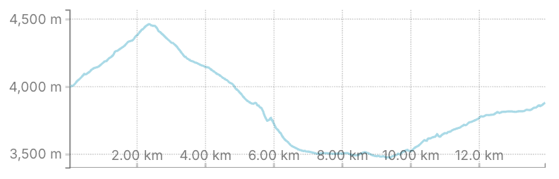
Day 5 (5 August 2026): Camp 2 Circuito Illampu (near Ancoma) – Cocoyo – Camp 3 Circuito Illampu
We headed south-east into another side valley, toward a nameless pass at 4,491 meters. At first, we followed a very rough road (far too rough for cars) which soon petered out into a trail.
The valley was grassy and relatively narrow, enclosed by steep slopes on either side. We soon reached the pass. Once again, as we paused to take in the views, the horses caught up with us and passed us.
Beyond the pass, the valley opened up and became much wider. As we descended, we could see the village of Cocoyo far below, spread out along a river flat. It would turn out to be the largest village we encountered on the entire trek.
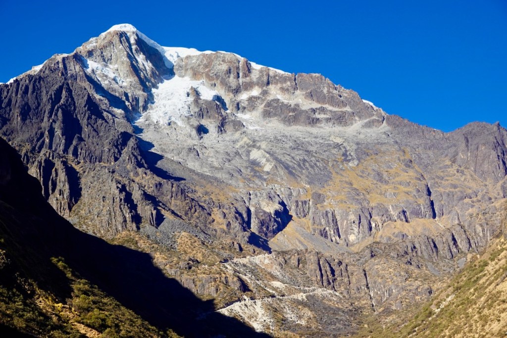
We made a steep descent to the river flat and then followed the river toward Cocoyo. To our right, we passed another valley with impressive waterfalls. Celso remarked that he had once explored this valley with an 80-year-old client, who had wanted to explore the glacier at its head.
Soon we entered Cocoyo. It was a rather depressing place, filled with new but half-finished buildings, apparently the result of the recent wealth brought by mining. Our staff took the opportunity to charge their phones, and we treated them to a couple of beers – the last beers we would have until day 17, when we reached Huayna Potosí.
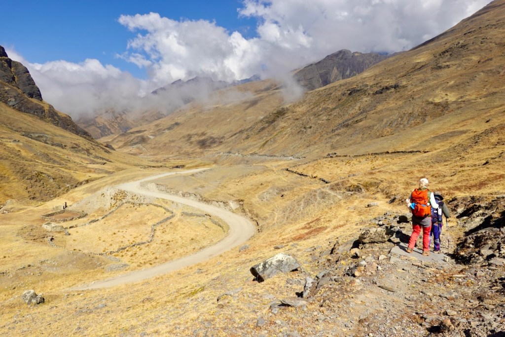
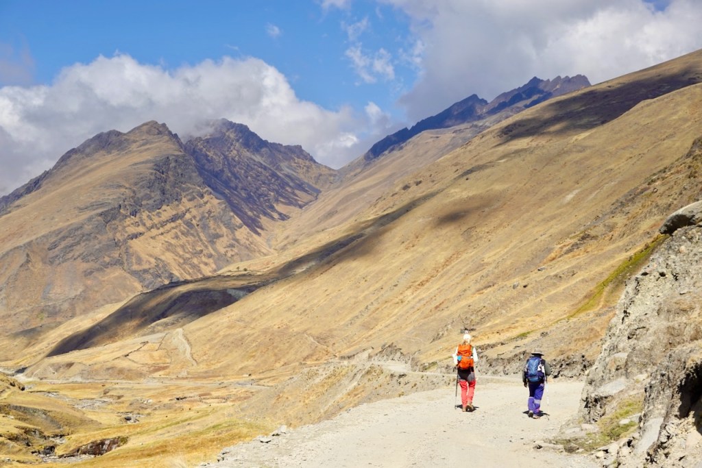
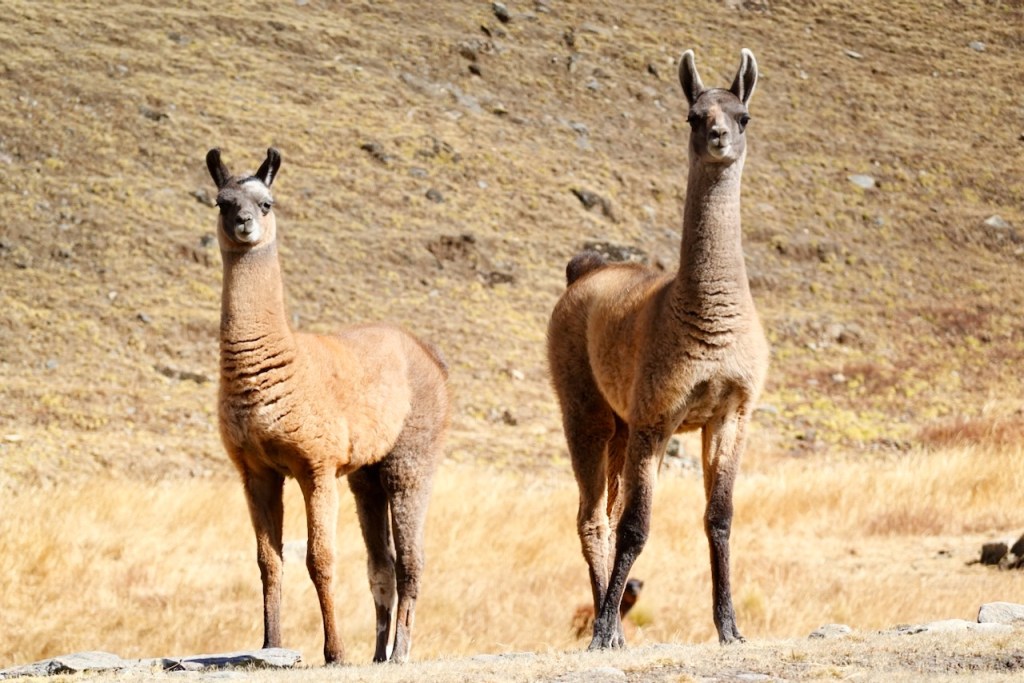
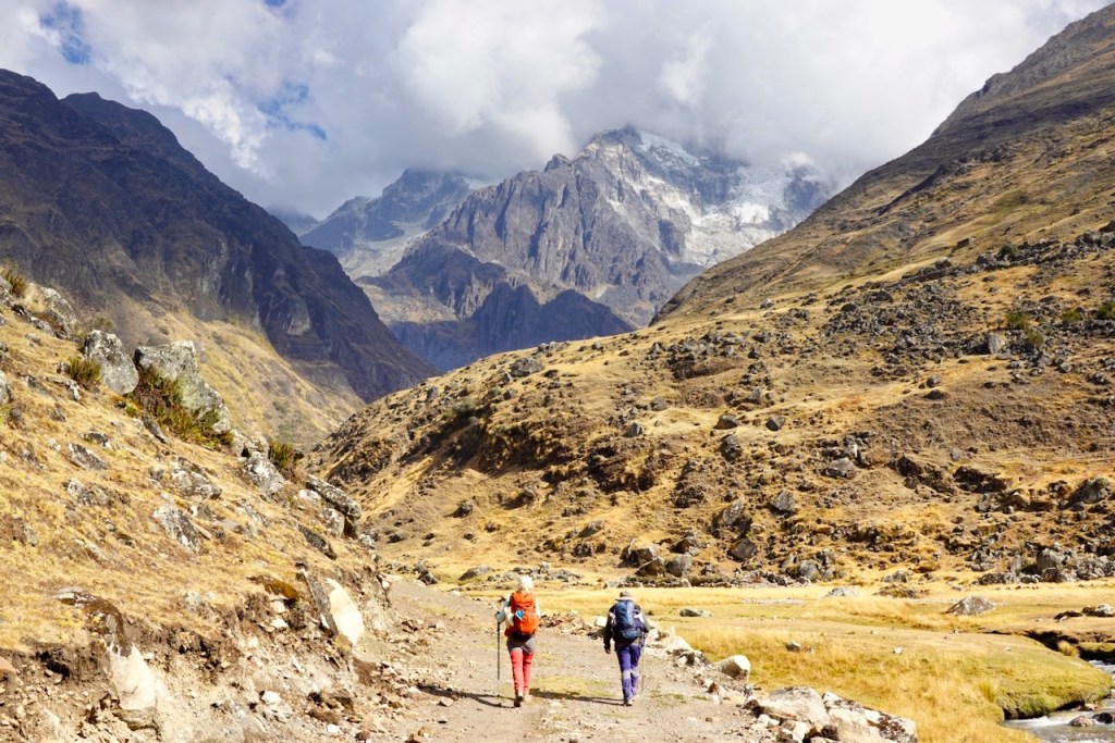
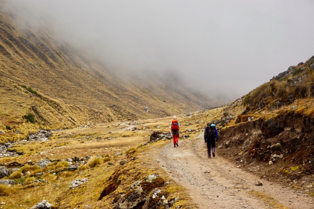
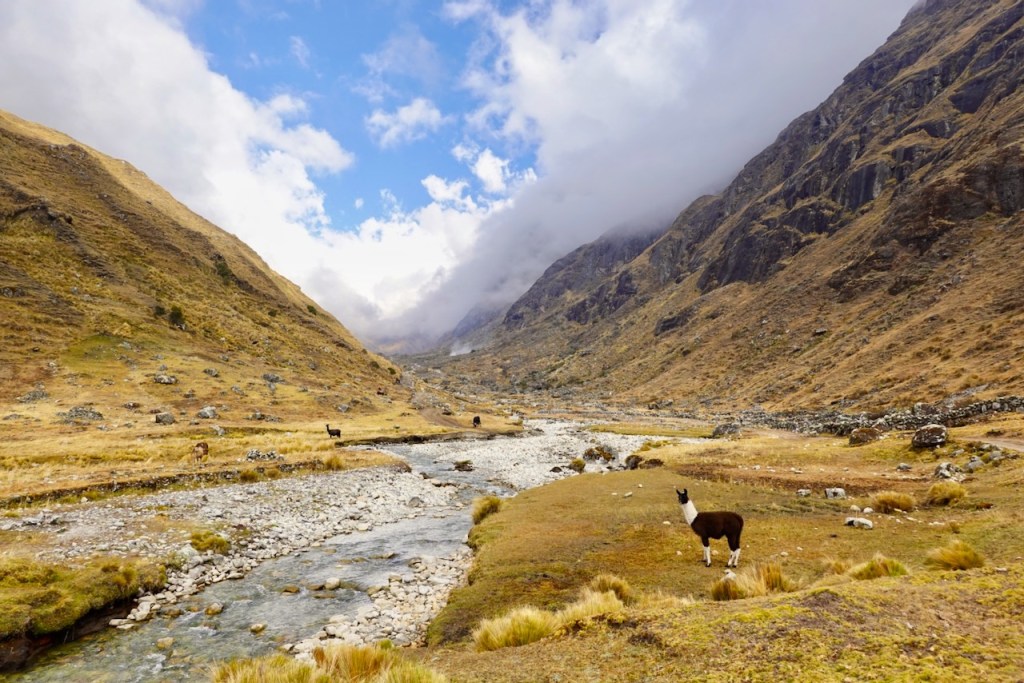
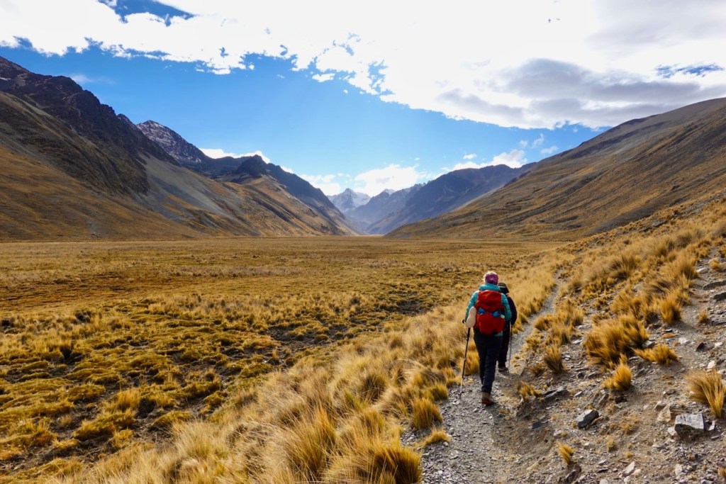
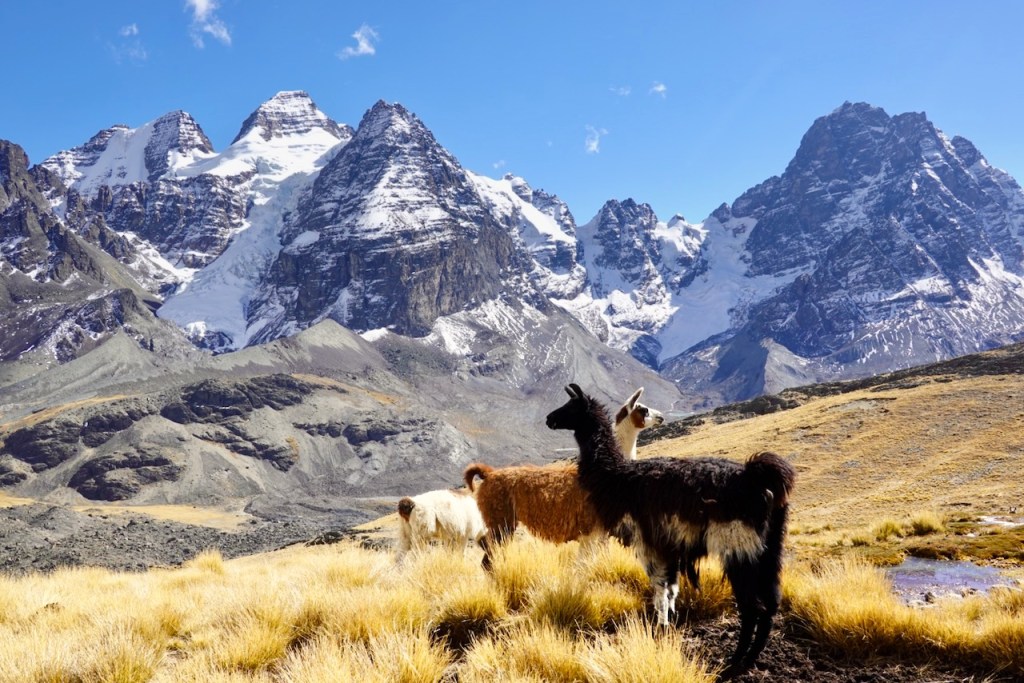
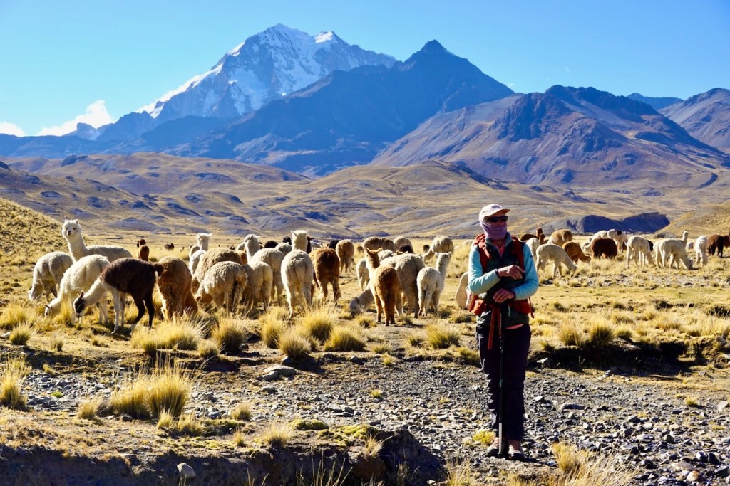
As we left Cocoyo, the dirt road began climbing through a series of switchbacks before entering a charming, wide, llama-filled valley alongside a river. Technically, we were still walking on a dirt road, but it was hardly wider than a trail and there was virtually no traffic. The setting was beautiful and peaceful, making this one of the more enjoyable stretches of the trek.
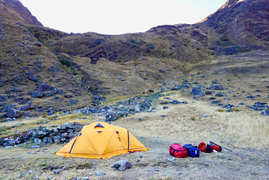
We eventually set up camp in a lovely spot beside the river, at a location marked on maps as “Camp 3 Circuito Illampu.”
Distance 14 km, ascent 860 meters, descent 950 meters
Pass: elevation 4491, latitude -15.770766, longitude -68.499841
Campsite: elevation 3831, latitude -15.815280, longitude -68.432056
Day 6 (6 August 2026): Camp 3 Circuito Illampu – Chajolpaya – Camp a few km before Camp 4 Circuito Illampu
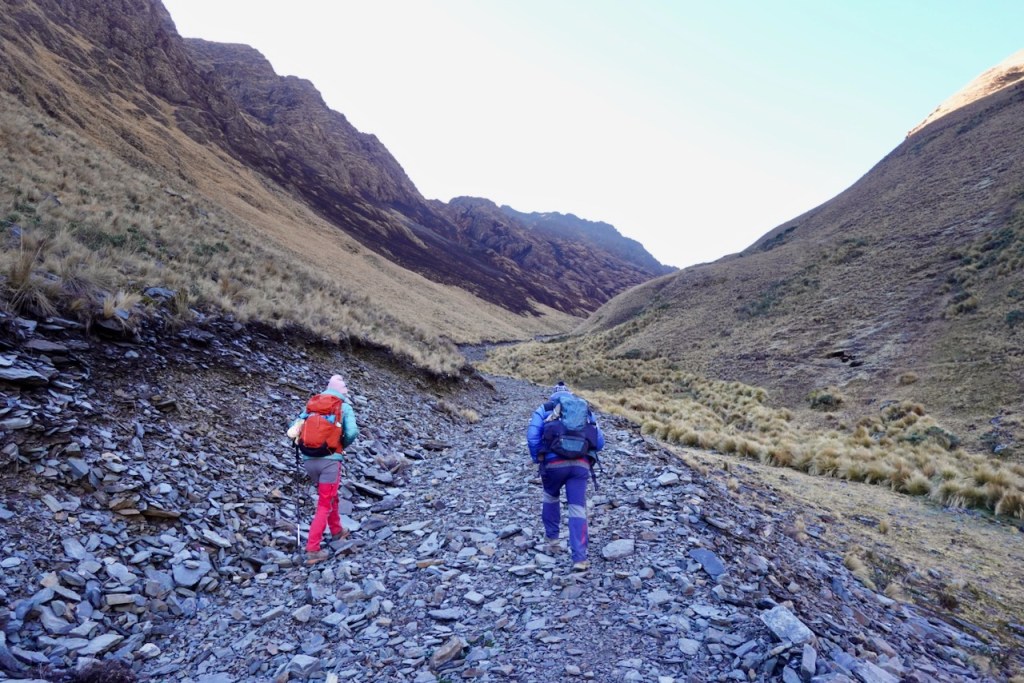
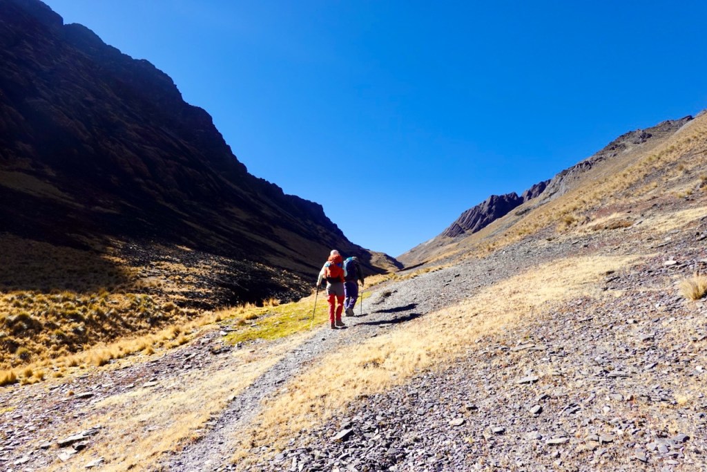
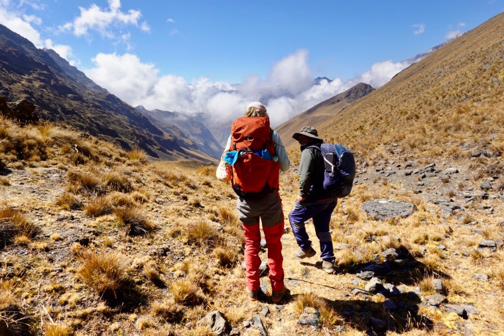
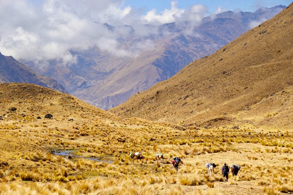
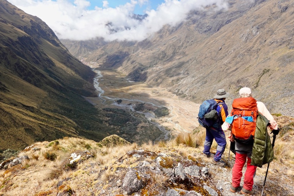
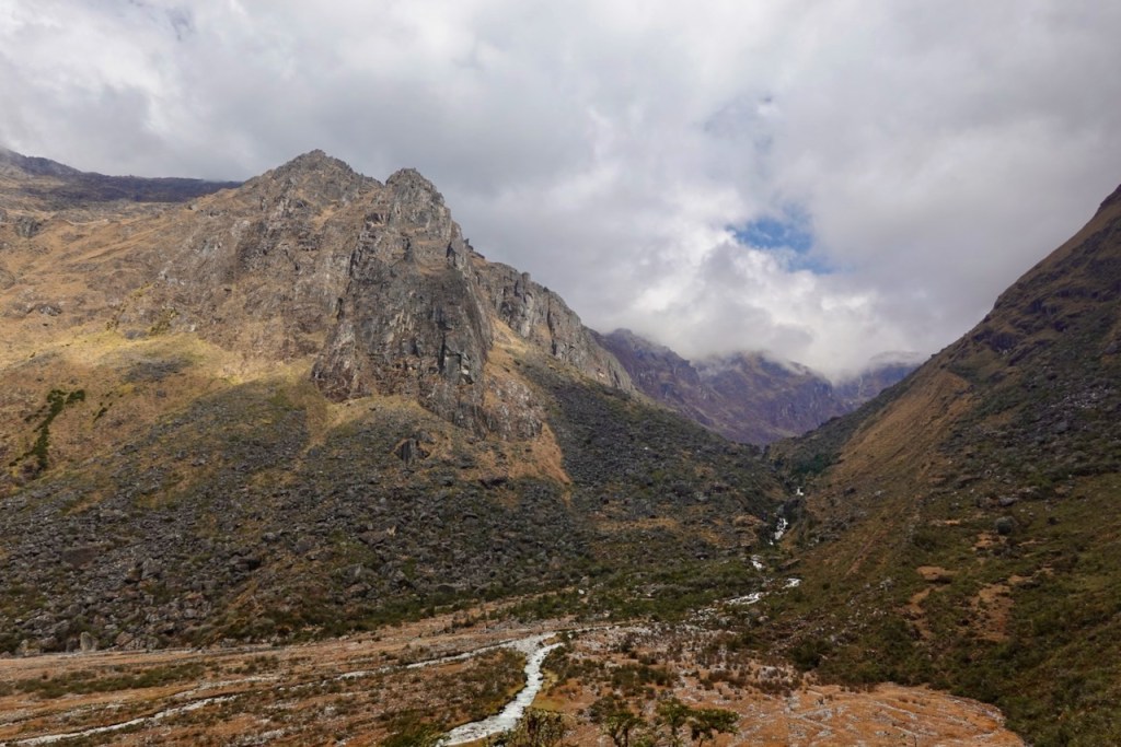
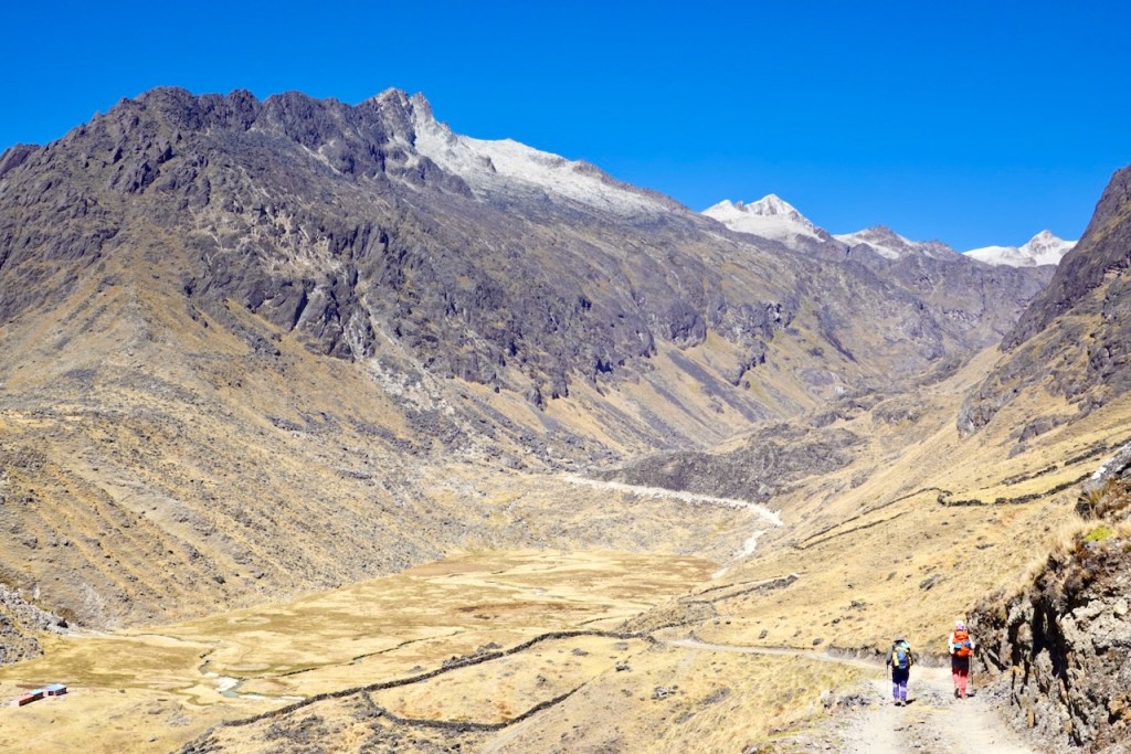
We continued along the dirt road for several kilometres up the valley towards Paso Sarami. By this point, the valley had become very wide, with rough, snow-dusted peaks rising all around us.
Although we were walking along a well-defined dirt road, there was absolutely no traffic. As the road climbed onto the slope on the left side of the valley, we could see wetter, grassy areas down on the right, dotted with llamas.
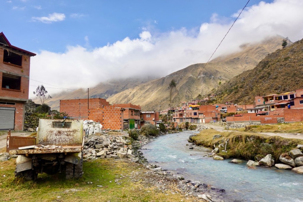
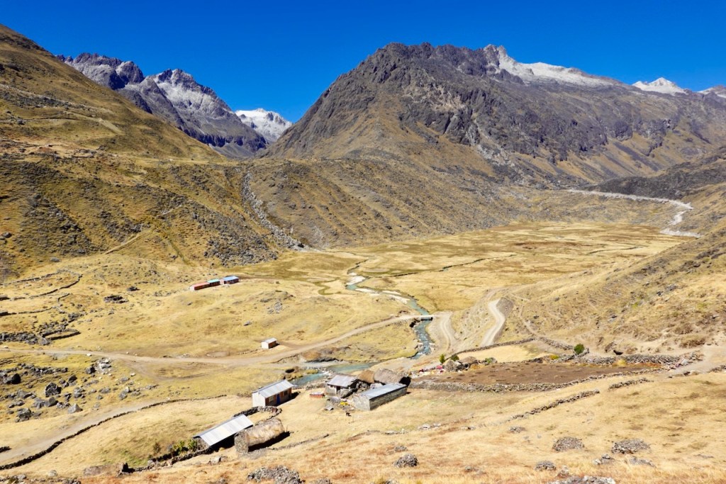
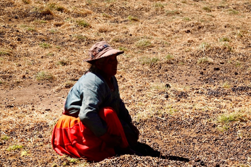
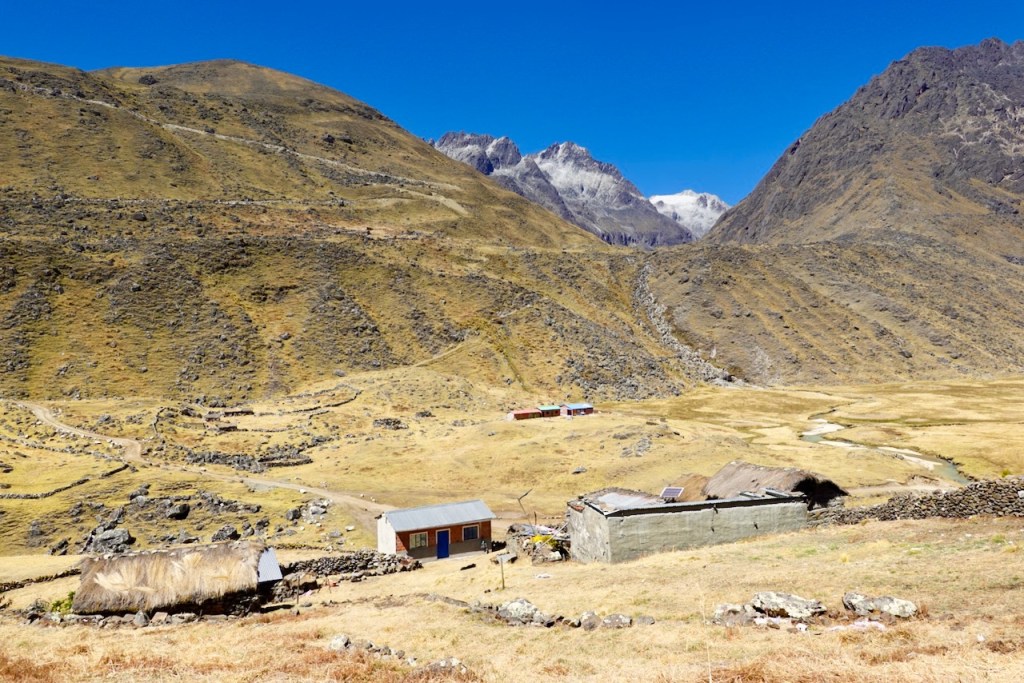
We reached the pass at the end of the eastbound valley, where the road descended steeply into a different, north-south oriented valley below. To our left (north) lay the village of Chajolpaya, but we turned right (south), passing the last few isolated farms and fields on the outskirts of the village. We stopped for lunch at one of the farms, where a local woman was busy harvesting potatoes.
From there, we turned south-east to join the so-called “Camino Calzada”, the dirt road that crosses the Cordillera Real from the “classical east” side to the “new west” side.
Once again, the road was very well-defined and passed through a broad valley with a river and plenty of llamas. There was still absolutely no traffic, and the scenery was beautiful, so we didn’t mind walking on a road.
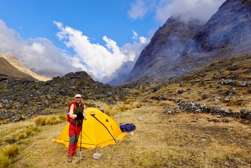
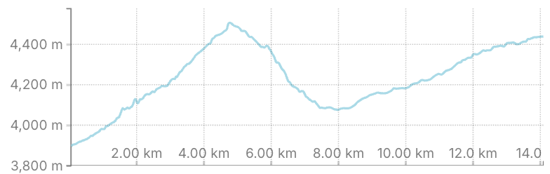
We had hoped to reach a spot marked on the maps as “Camp 4 Circuito Illampu”. Unfortunately, Jaime, our muleteer, stubbornly ignored the instructions from both us and the guide and set up camp several kilometers short of our intended campsite. He claimed (incorrectly) that there would be no food for the mules at the campsite we wanted to reach. This was extremely annoying, as it meant we would have to cover a long 21-kilometer distance the following day.
Distance 14 km, ascent 960 meters, descent 400 meters
Campsite: elevation: 4446, latitude -15.895028, longitude -68.429525

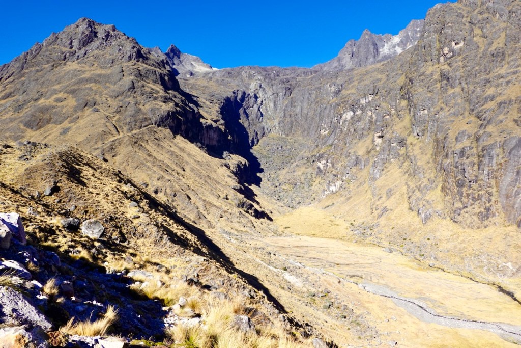
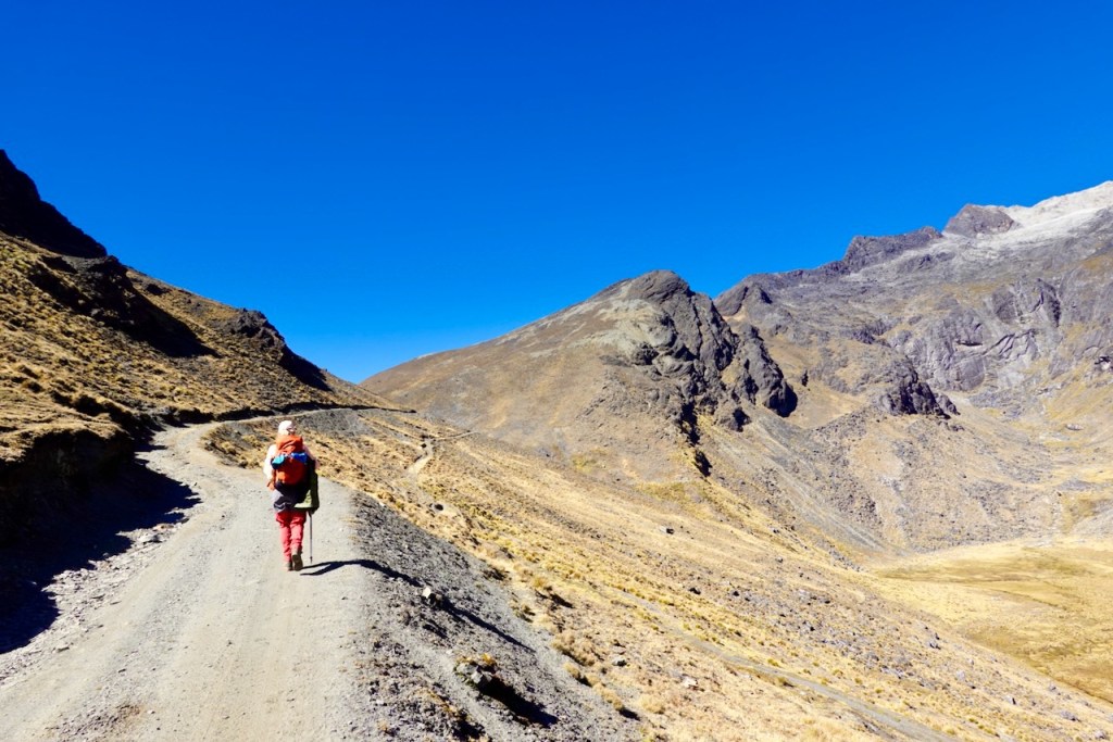
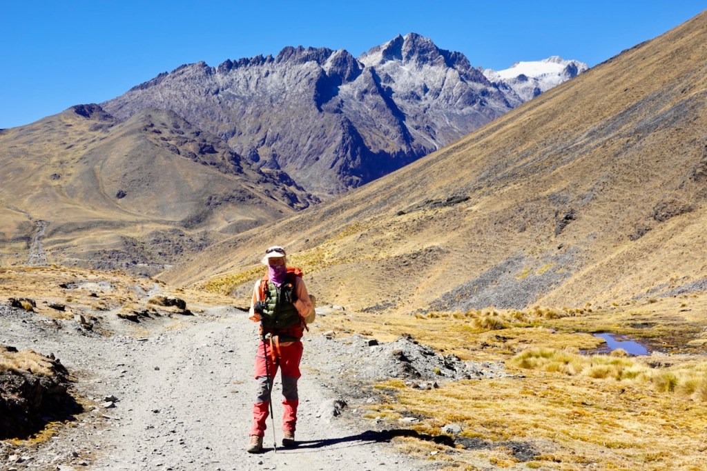
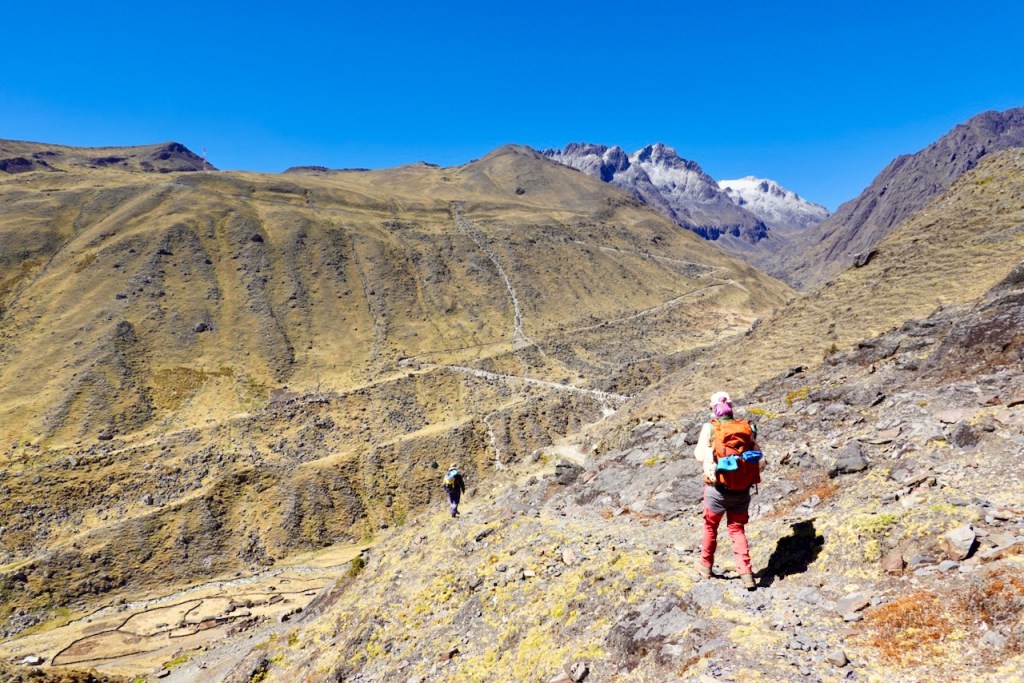
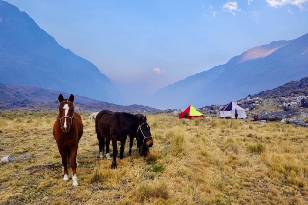
Day 7 (7 August 2026): Camp a few km before Camp 4 Circuito Illampu – Camp 4 Circuito Illampu – Laguna Carizal – Laguna Chojna Khota – Laguna San Francisco
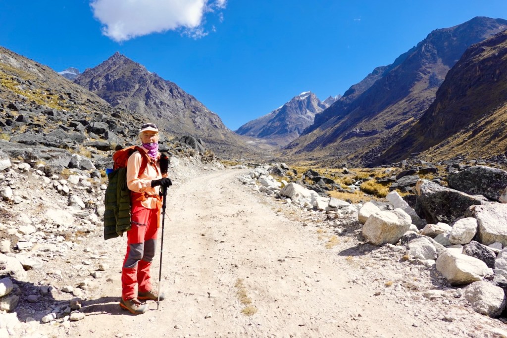
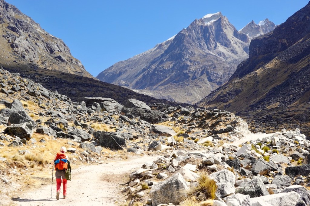
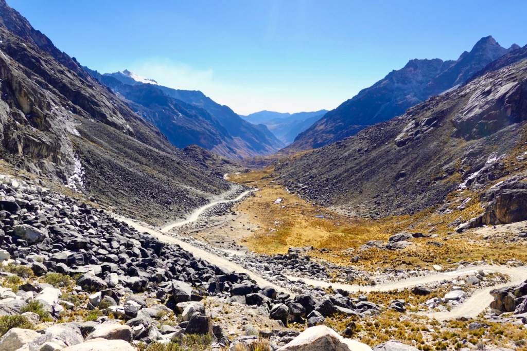
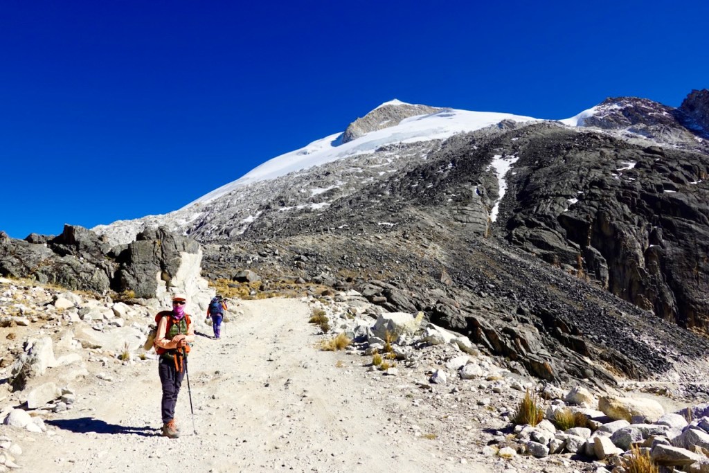
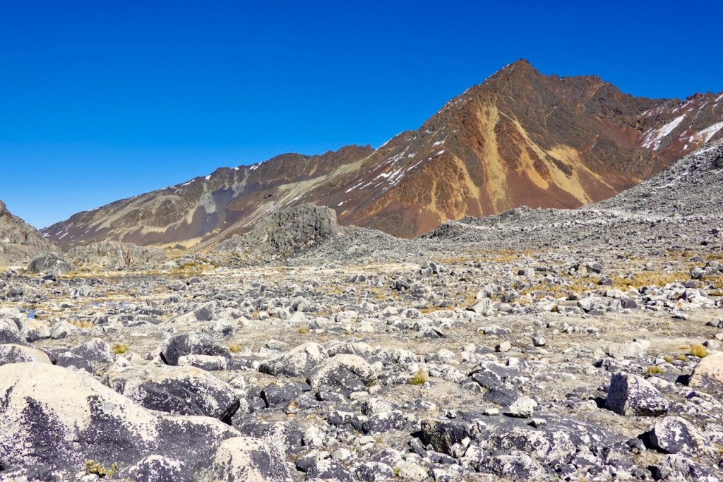
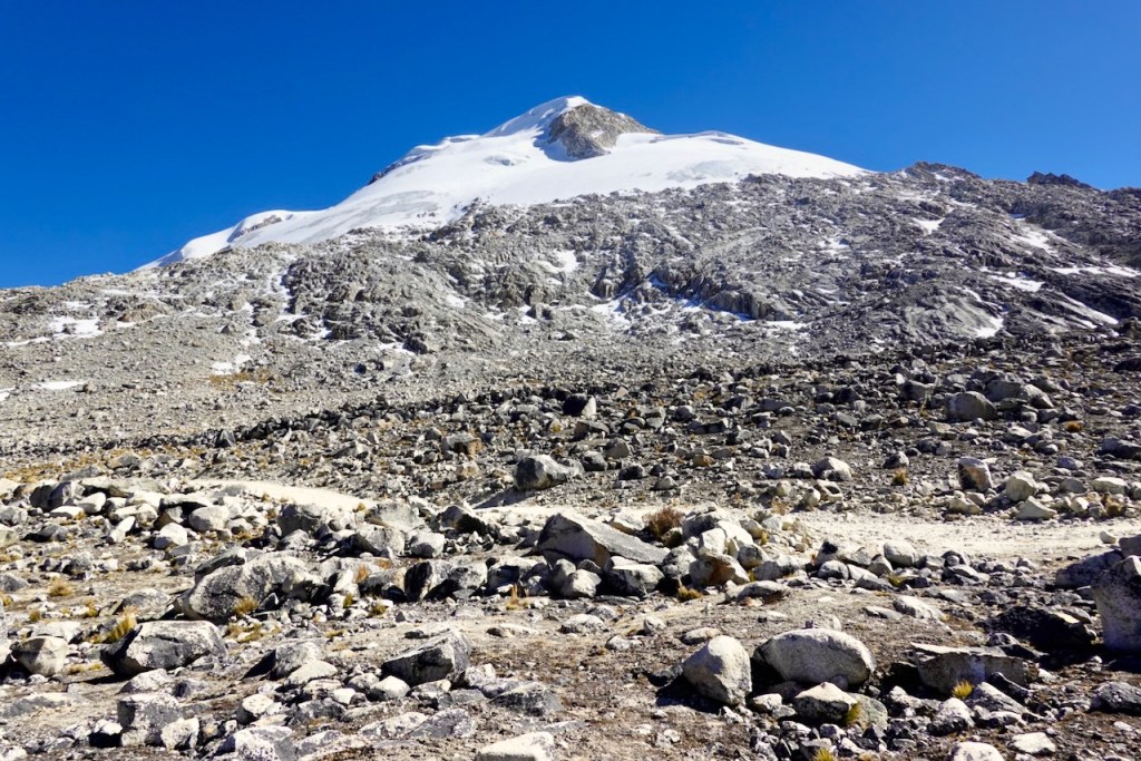
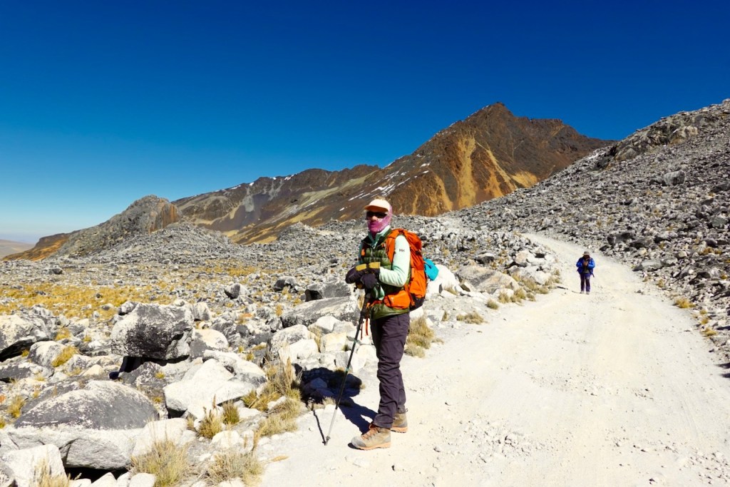
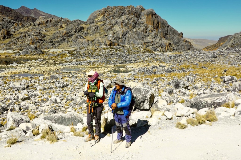
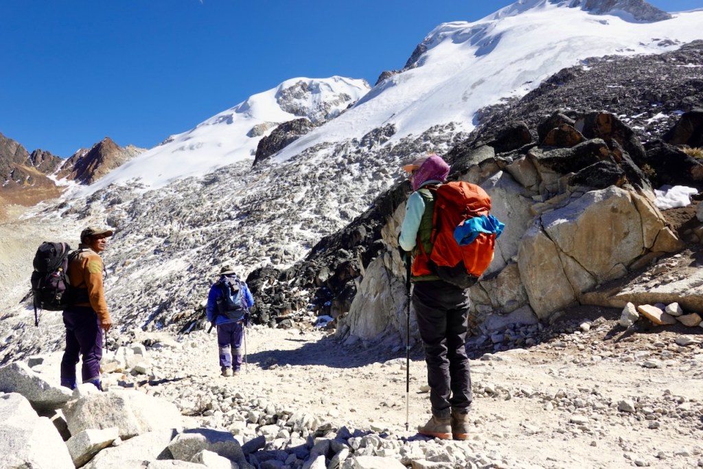
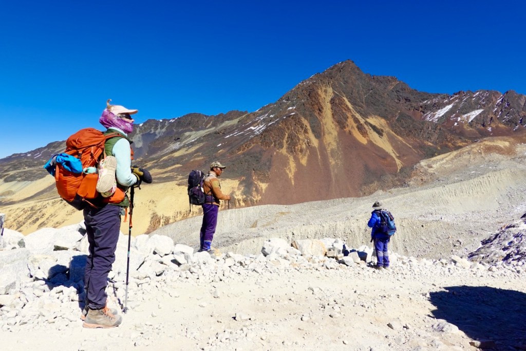
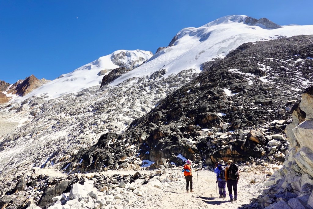
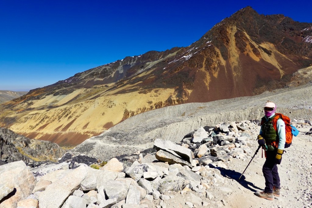
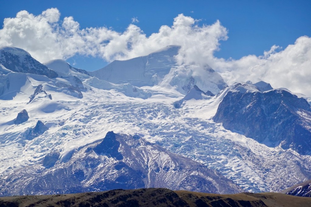
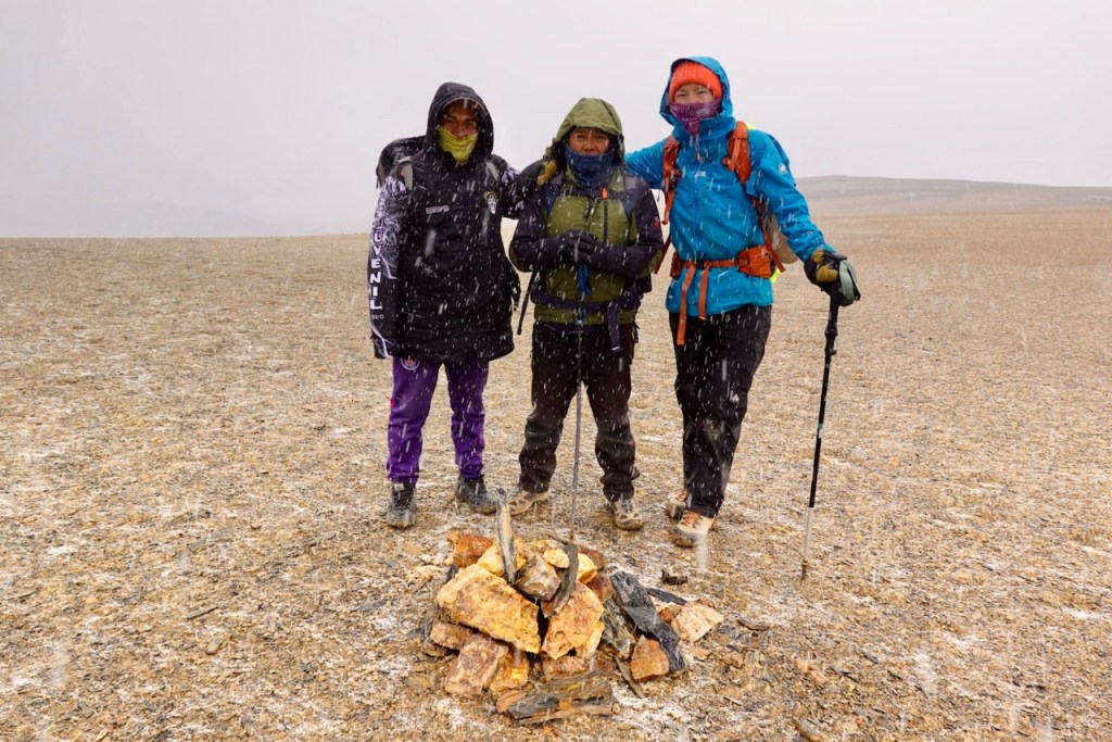
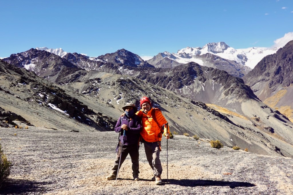
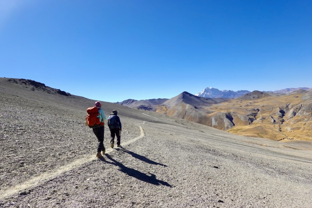
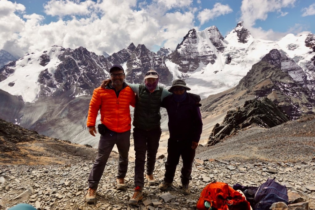
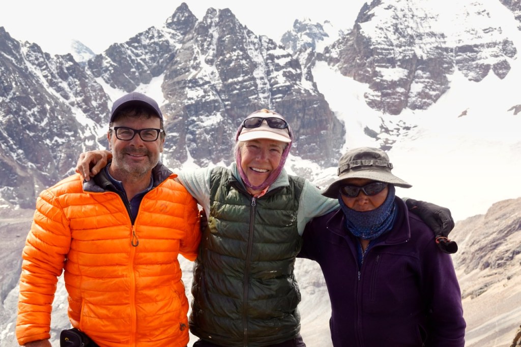
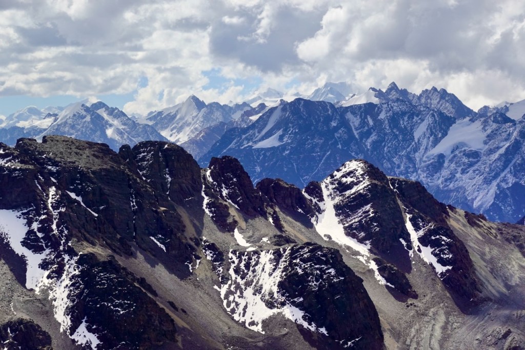
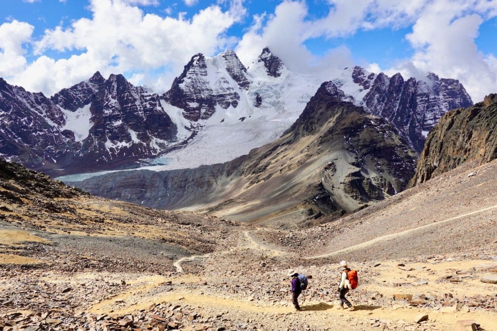
We continued following the dirt road towards Calzada Pass, which lies at 5,000 meters, climbing through several series of switchbacks. The view from the pass was amazing! The pass itself was a vast plateau: a grey moonscape littered with huge boulders. To our left and right were rugged peaks covered in snow and ice, while in front of us were mountains in completely different colors: deep brown and beige. We took our time enjoying the views and taking lots of group photos.
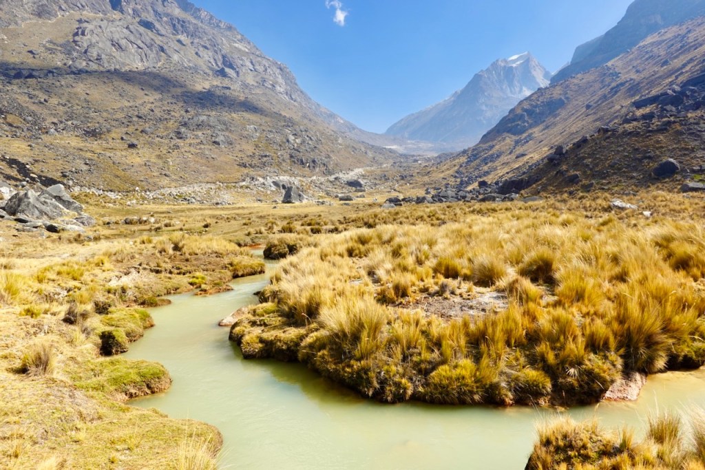
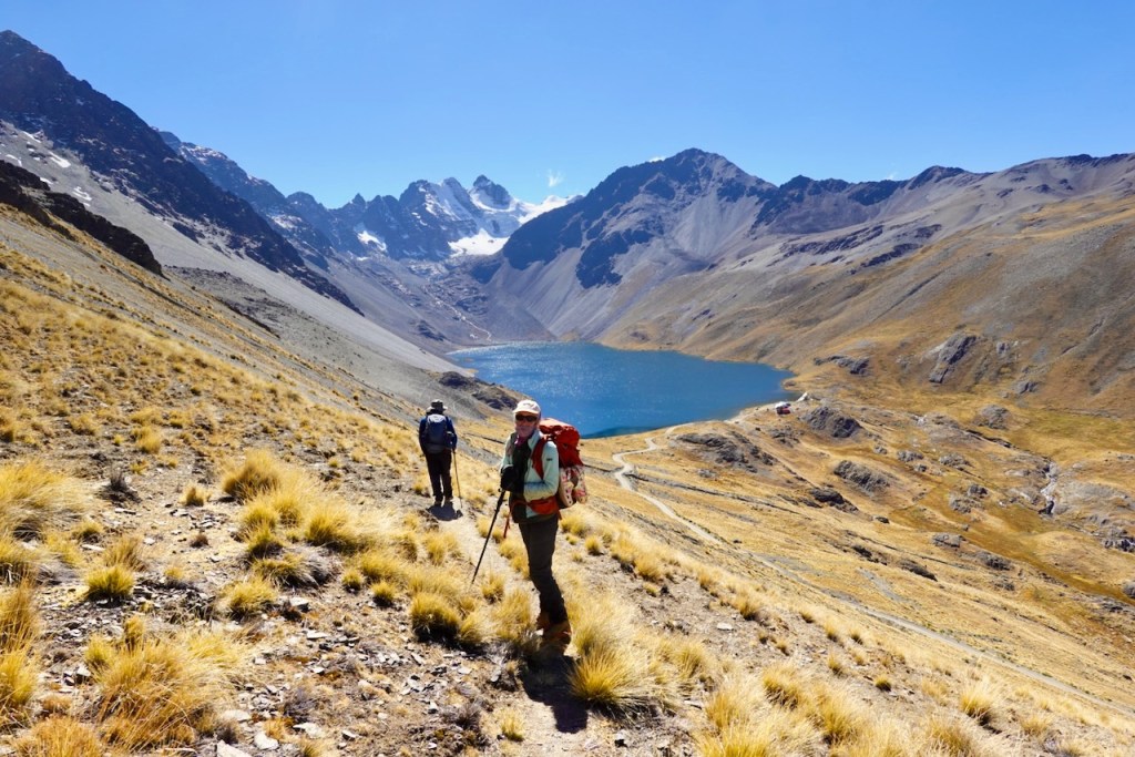
From the pass, we descended through more switchbacks into the valley beyond. Soon we could see Laguna Carízal, a large, deep-blue lake, followed shortly afterwards by the smaller, more greenish Laguna Chojna Khota.
According to the itinerary from the trekking agency, Laguna Chojna Khota was supposed to be our destination for the day. But we had walked much faster than the itinerary anticipated (a common problem for us) so, after consulting with Celso, we decided to extend the trek with a side trip to Laguna San Francisco, where there are some hot springs. Jaime, our stubborn muleteer, was once again quite reluctant, and we had to convince him with some extra money.
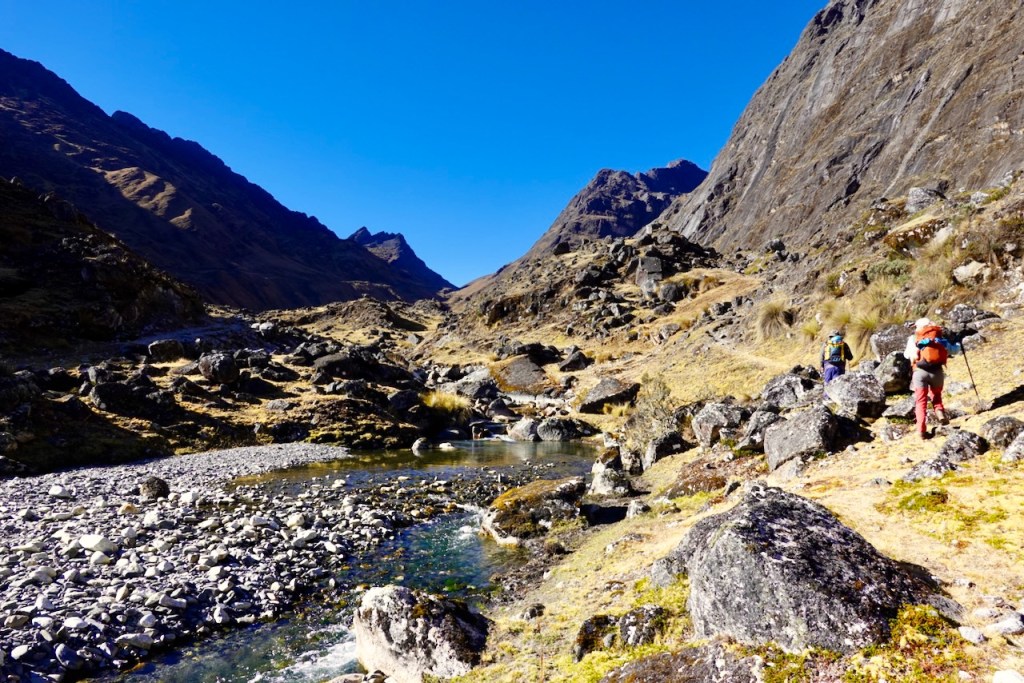
At Laguna Chojna Khota, we left the dirt road and followed a very faint, sometimes almost non-existent trail in a south-westerly direction. As the trail climbed the mountain slopes on the right, we could see Laguna Ajoyani down below in the valley to our left.
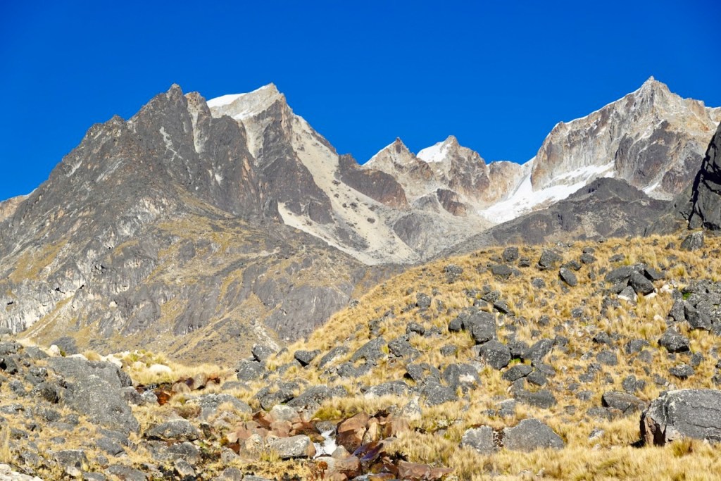
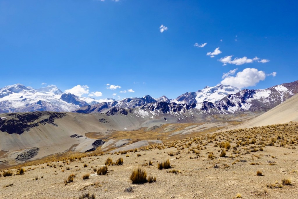
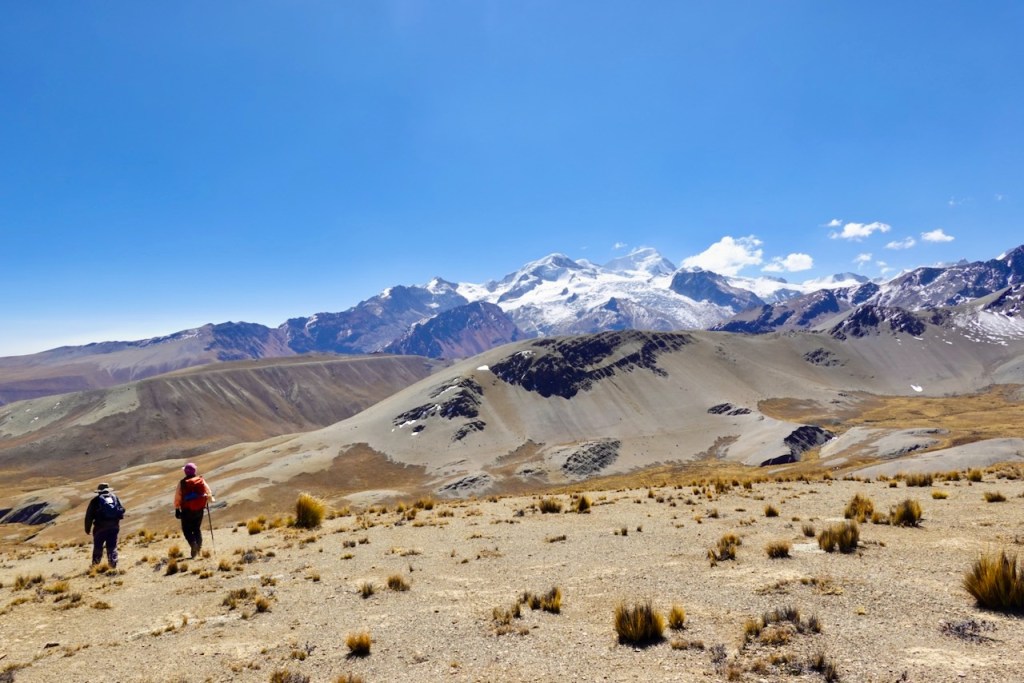
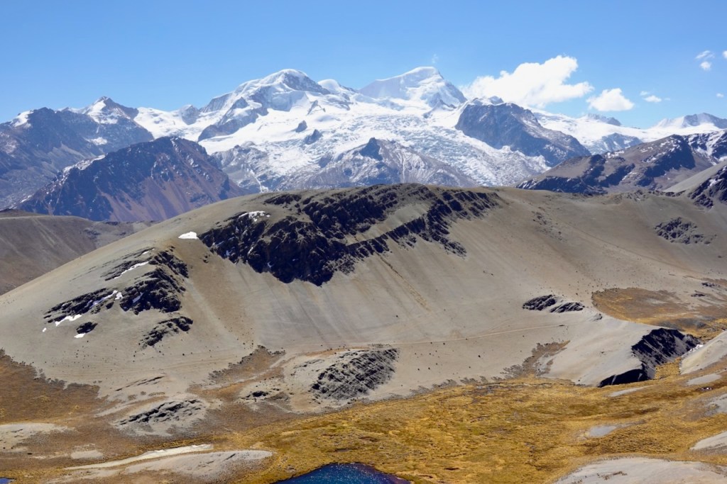
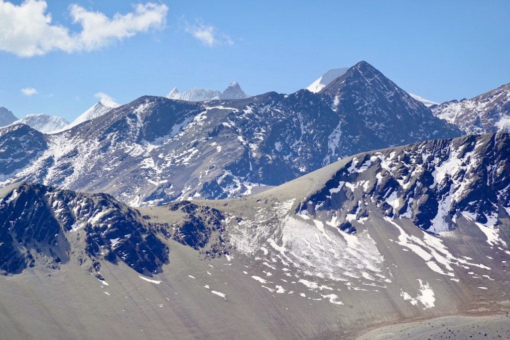
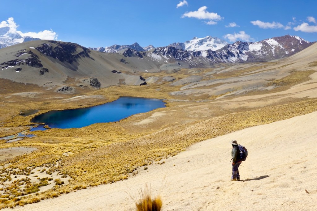
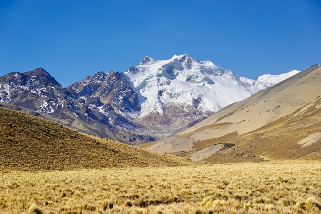
After a while, the trail turned into a diagonal traverse across a scree slope. We crossed one hump, then another, eventually reaching a scree-covered pass at 4,971 metres. From the pass, we had amazing views of a huge range of snow-capped peaks stretching away to our right. In front of us lay a beautiful valley containing another lagoon. This was not yet Laguna San Francisco, which lay several kilometers farther on, hidden behind a series of ridges that we would cross on our return.
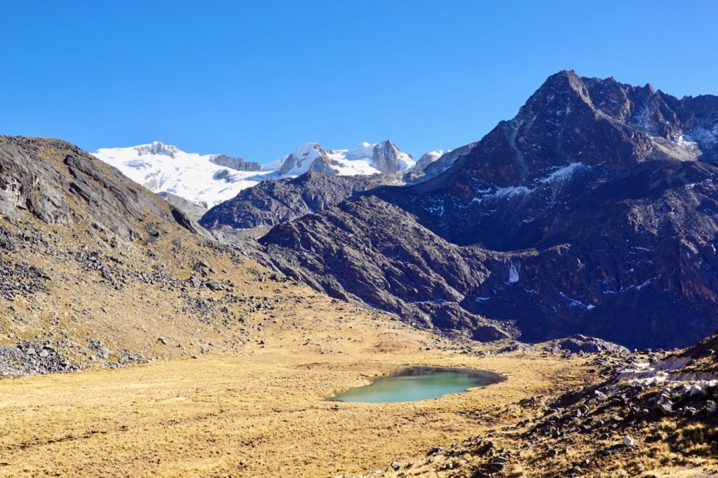
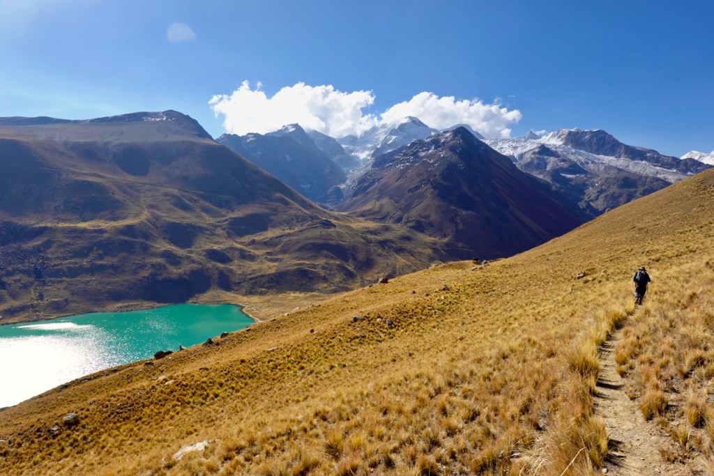
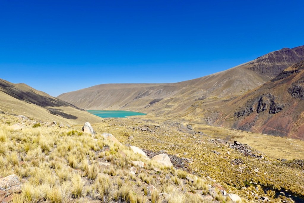
We made a steep descent down the scree slopes into the valley below and continued heading west, staying to the left of the ridges. After a while, the cyan-colored waters of Laguna San Francisco appeared in front of us. We did not descend all the way to the shore. Instead, we curved to the right (north), following faint trails along the slope several hundred meters above the lake. We followed the trail parallel to the lake, eventually passing well beyond its far end. The hot springs are located several kilometers north of the lake, and that was where we were heading.
Eventually, we descended to the bottom of the valley. The valley was very wet and marshy, and it took quite a bit of route-finding on Celso’s part to reach the campsite without getting our feet wet.
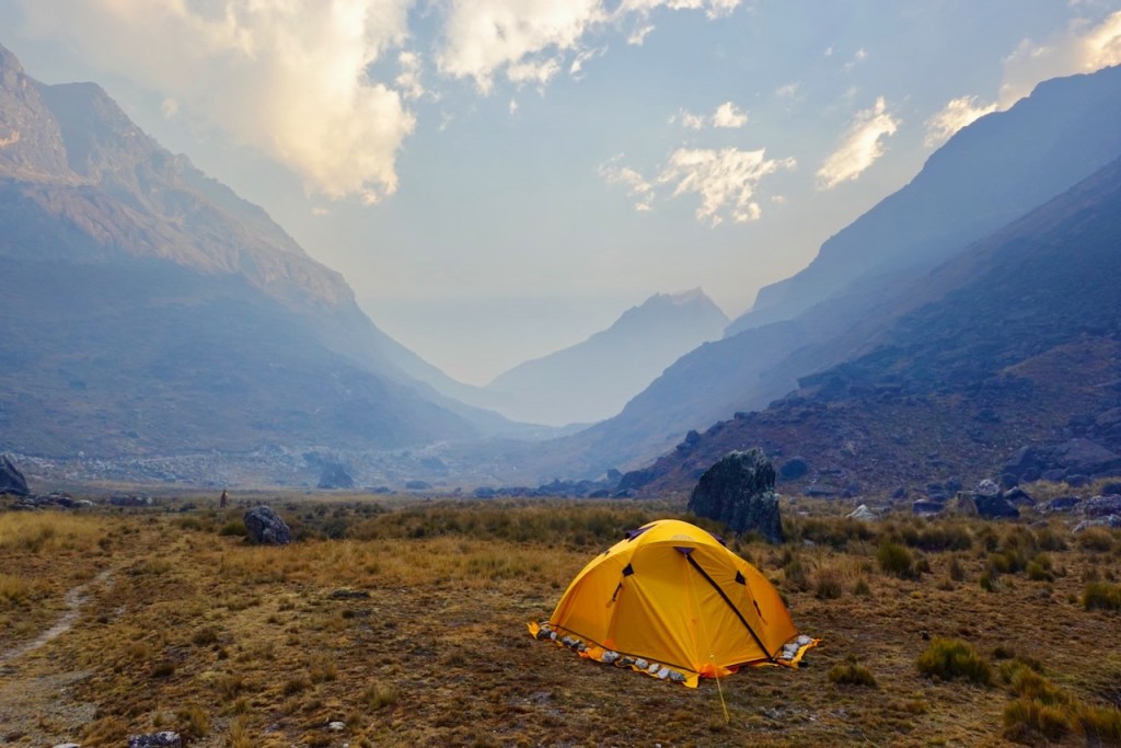
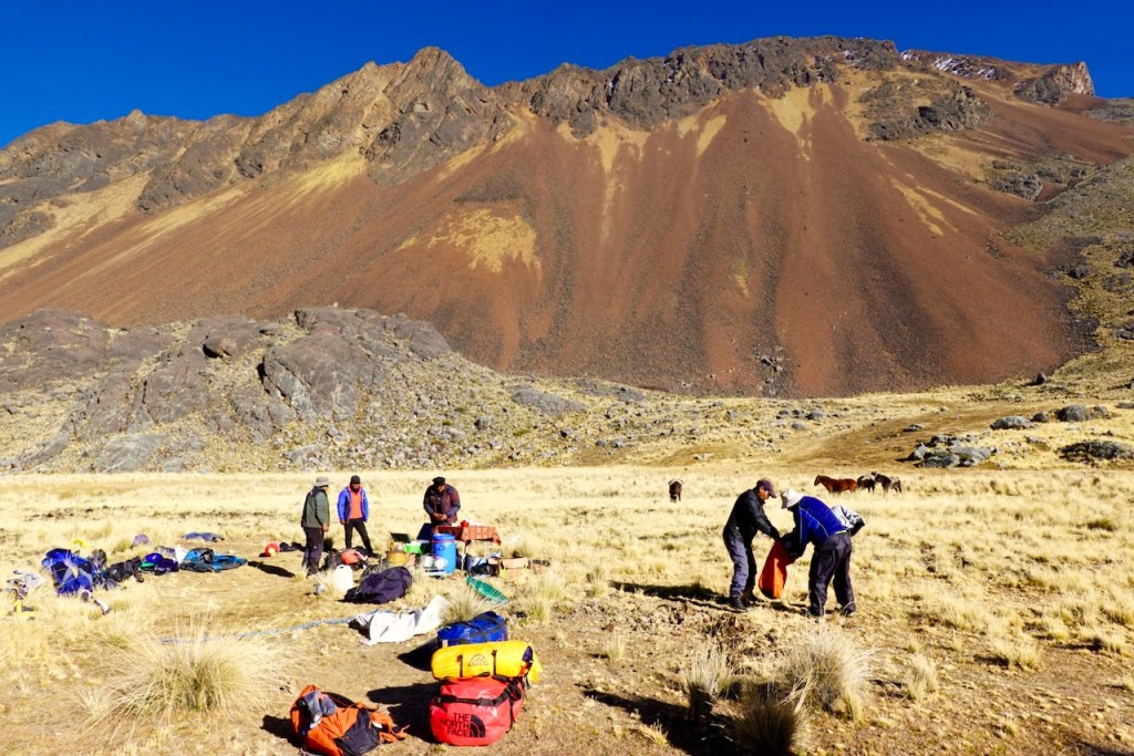
At last, we reached the campsite, situated on a dry patch in a lovely spot in the middle of the valley. When we arrived, the camp was already set up but empty. The crew was enjoying a warm dip in the hot springs – which we would do ourselves the following morning.
Distance 21 km, ascent 806 meters, descent 731 meters
First pass: elevation 5062, latitude -15.919371, longitude -68.460230
Second pass: elevation 4971, latitude -15.945936, longitude -68.502931
Campsite: elevation: 4506, latitude -15.913546, longitude -68.522715
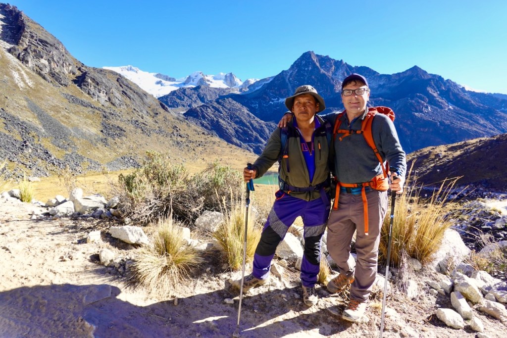
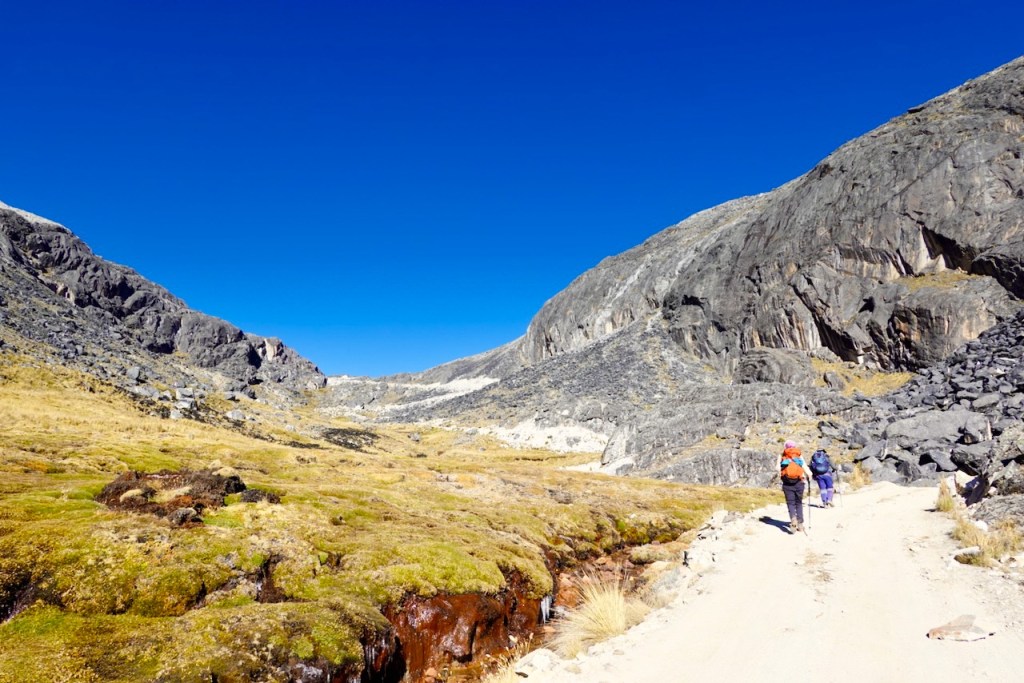
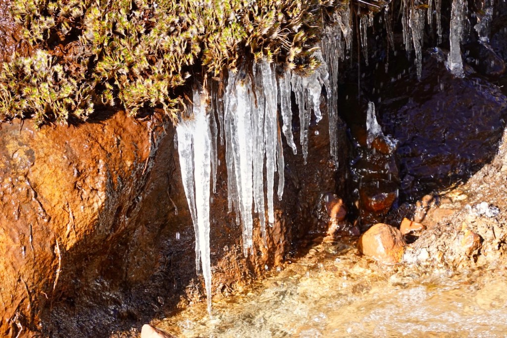
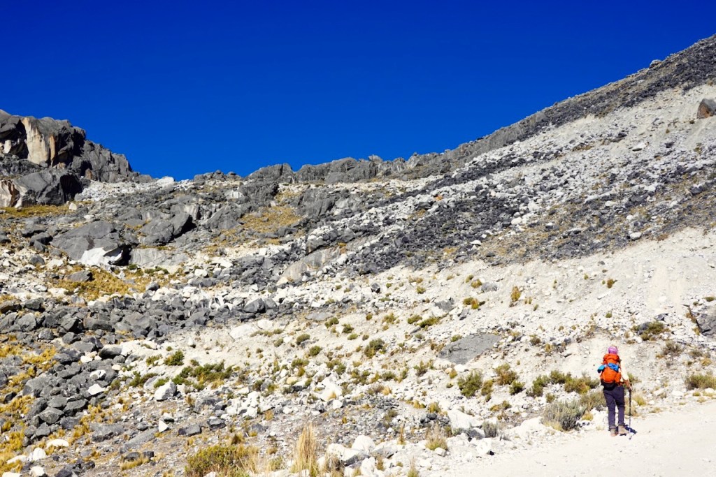
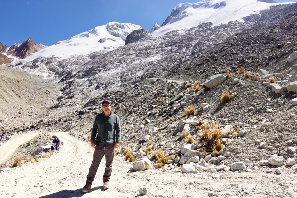
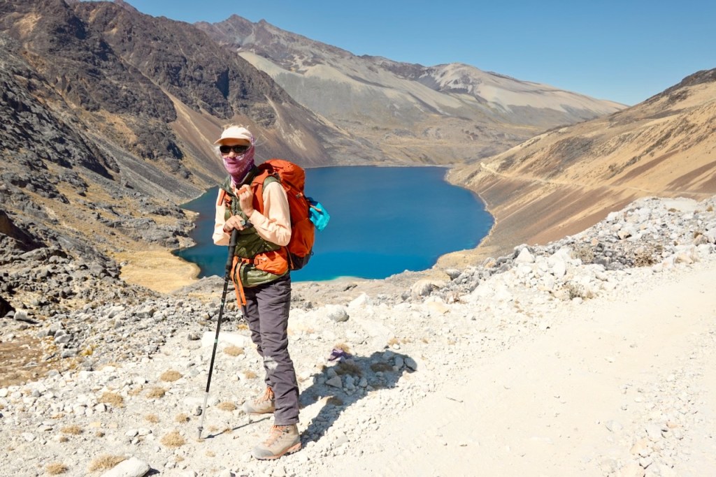
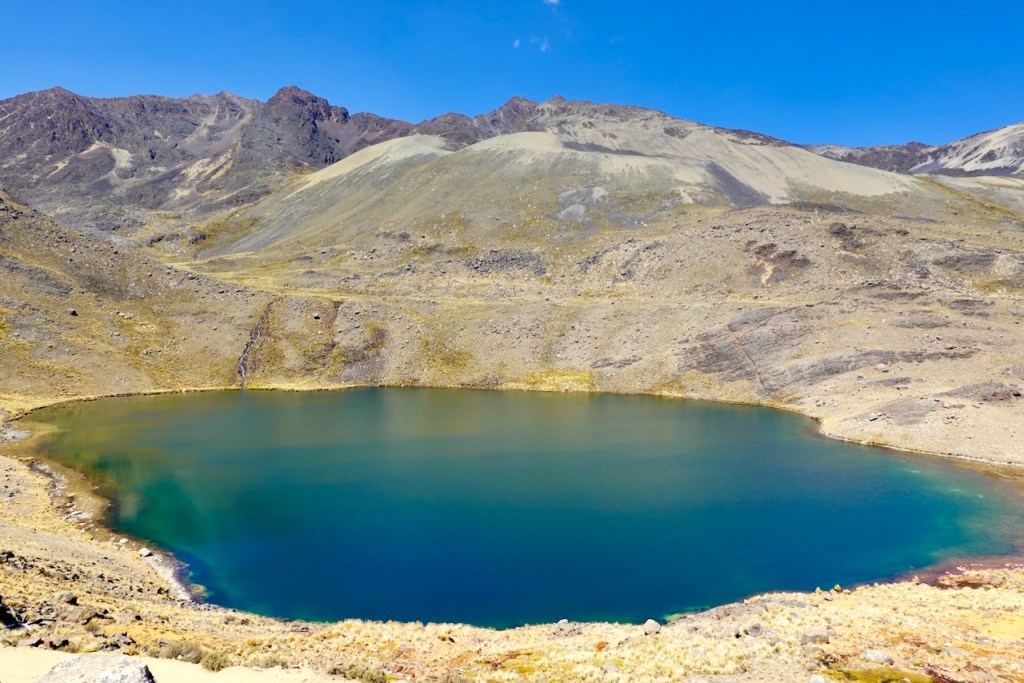
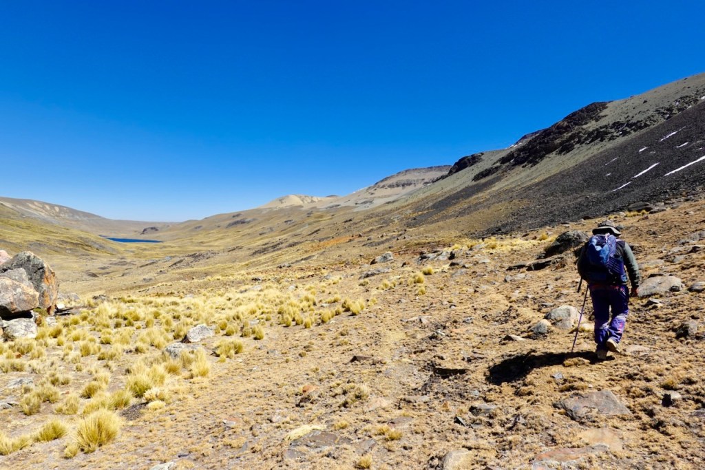
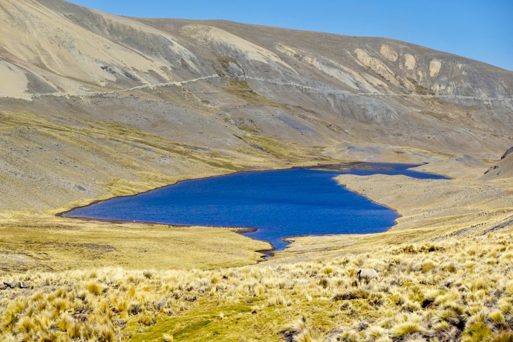
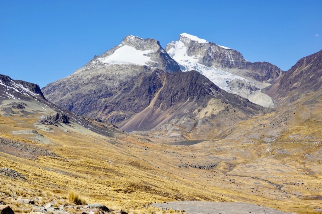
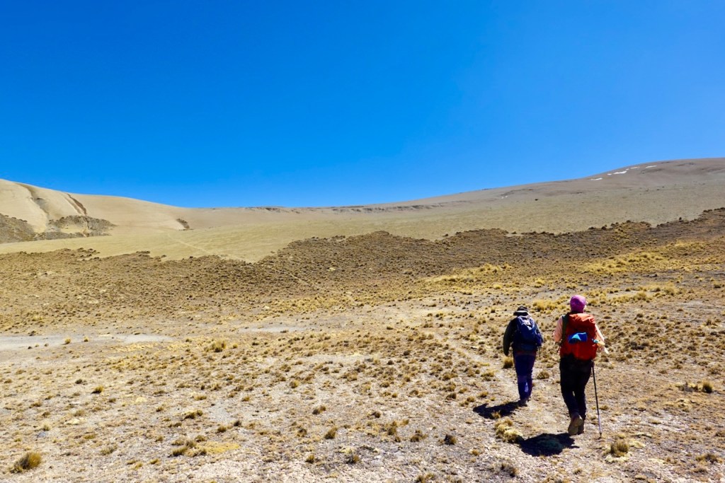
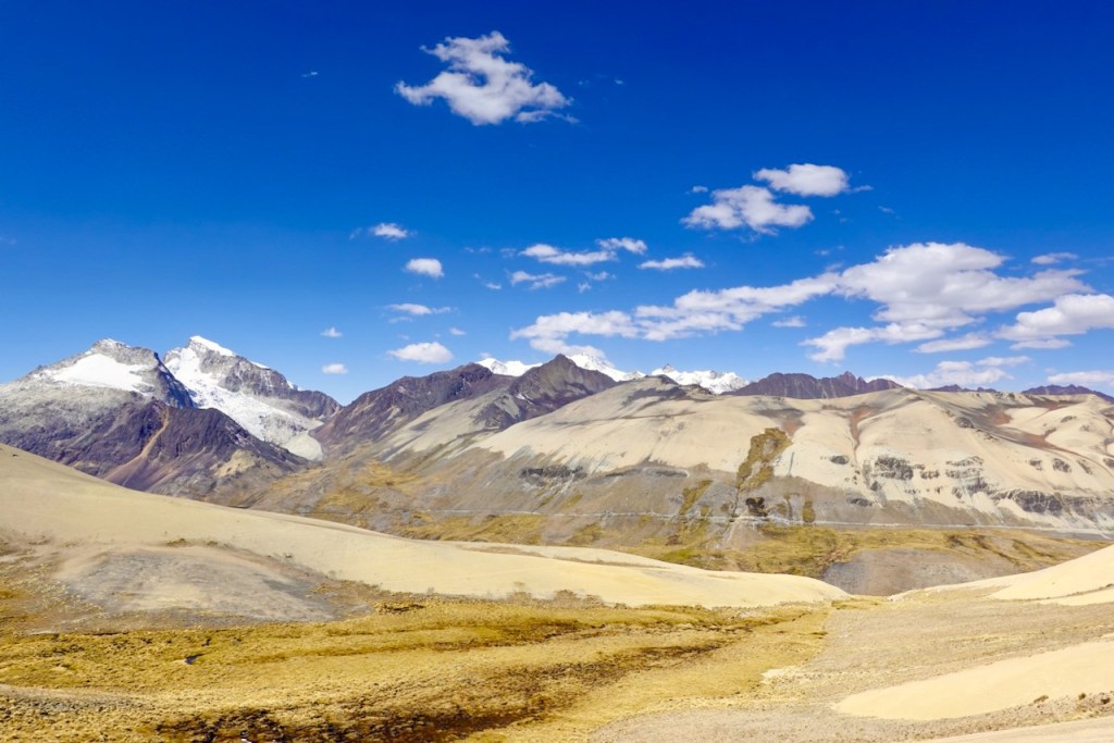
Day 8 (8 August 2026): Laguna San Francisco – Laguna Chojna Khota
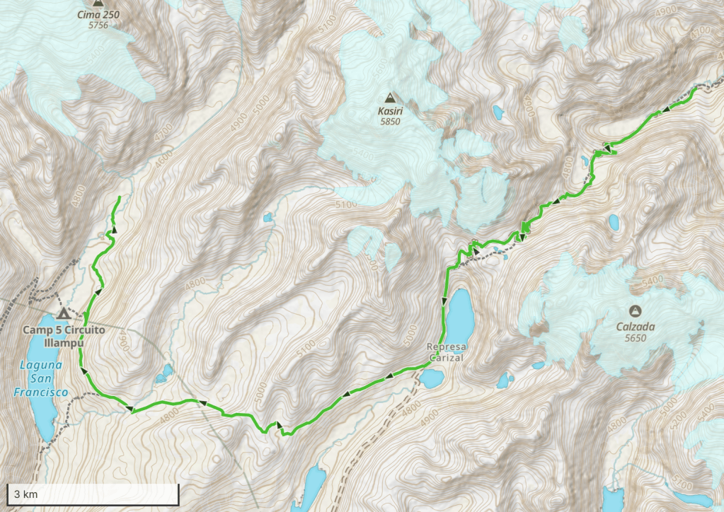
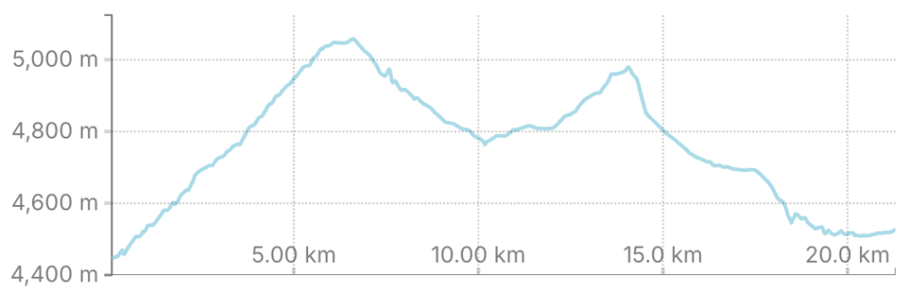
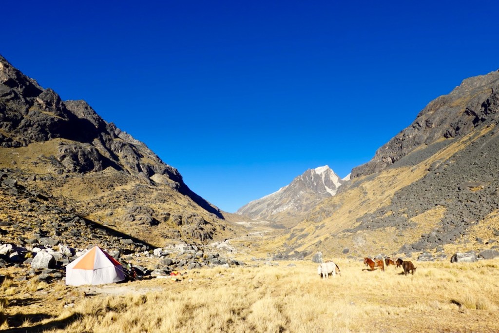
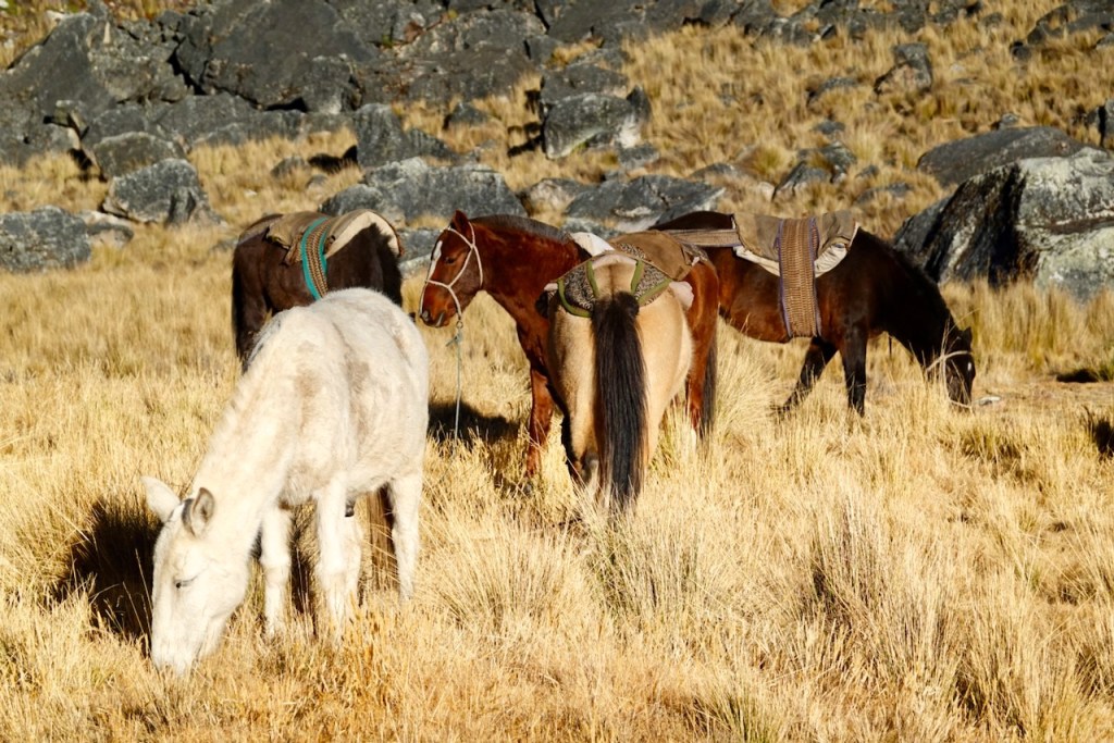
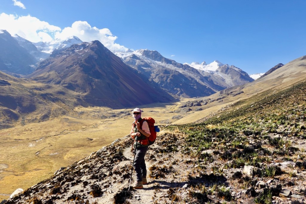
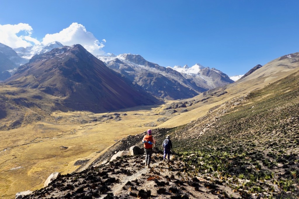
On day 8, we headed back to Laguna Chojna Khota. The muleteers and horses would not accompany us to Laguna Chojna Khota. Instead, all our equipment and supplies, along with fresh resupplies, would be transported by car via a long road detour. The road did not reach all the way to our campsite, so we needed the horses to carry the equipment for a kilometer or so to the waiting car.
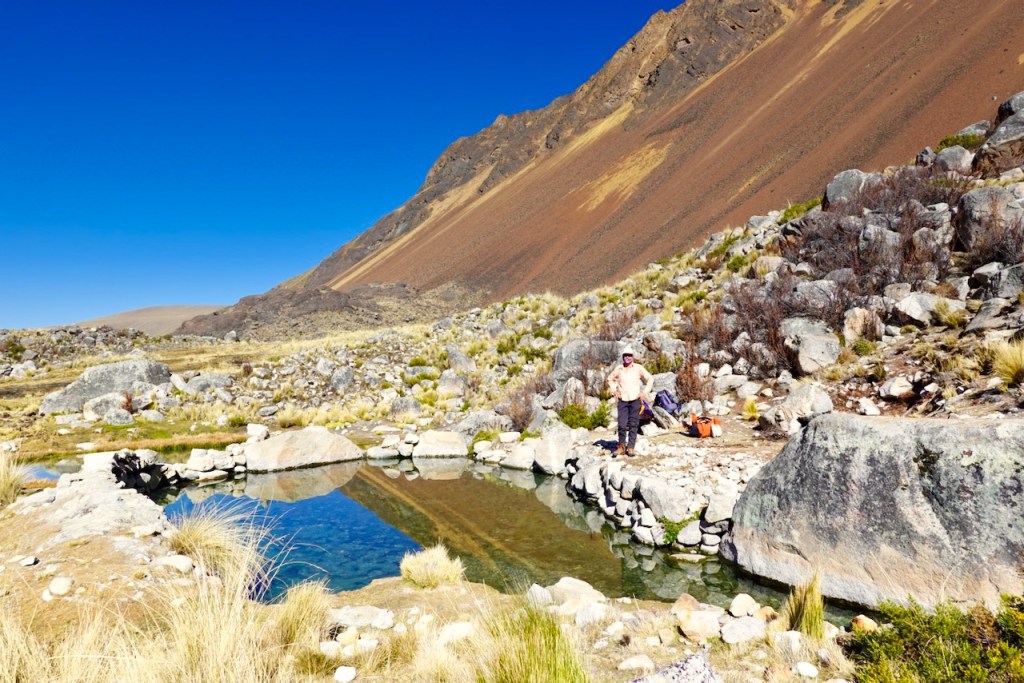
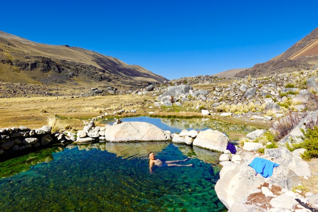
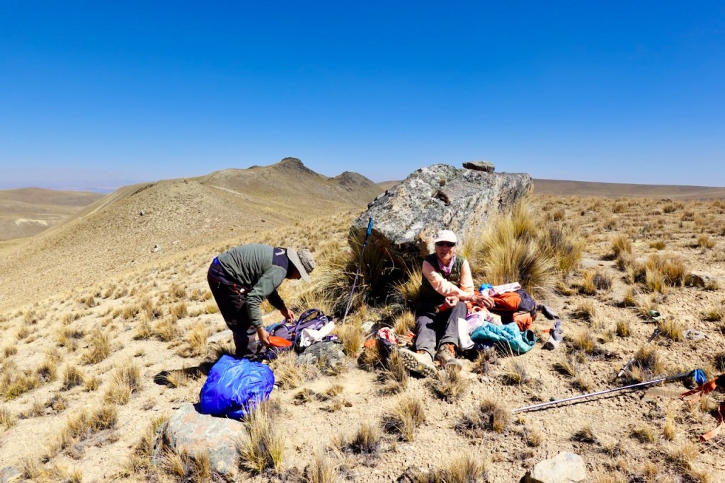
As the muleteers packed up camp, loaded the horses, and started heading out to the car, Celso and we spent a relaxed couple of hours enjoying a warm bath in the hot springs. The valley is surrounded by high peaks, which means that the hot springs are in the shadow in the early morning and again for much of the afternoon. Late morning, when you can enjoy the warmth of the sun as well, is the ideal time for a bath.
The hot springs are wonderful! It is essentially one large pool, about 20 meters by 10 meters, in a very idyllic setting in the middle of wild nature, with amazing views all around. We have been to many backcountry hot springs, and quite a few of them are pretty disgusting, with dirty water that smells of sulfur and is full of slimy algae. This one, on the other hand, is very nice. The water temperature is perfect, I’m guessing around 40 degrees Celsius. The water is clean and has no foul smell, and there is very little garbage around.
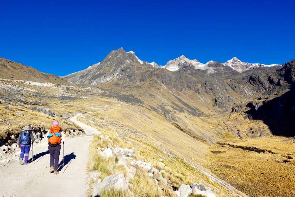
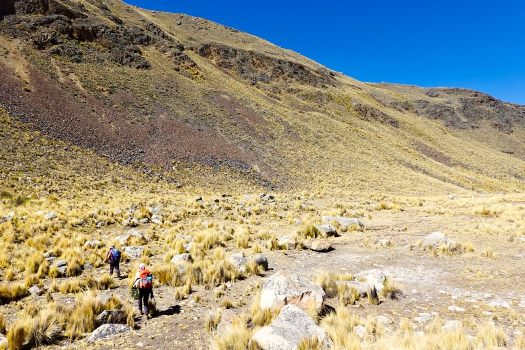
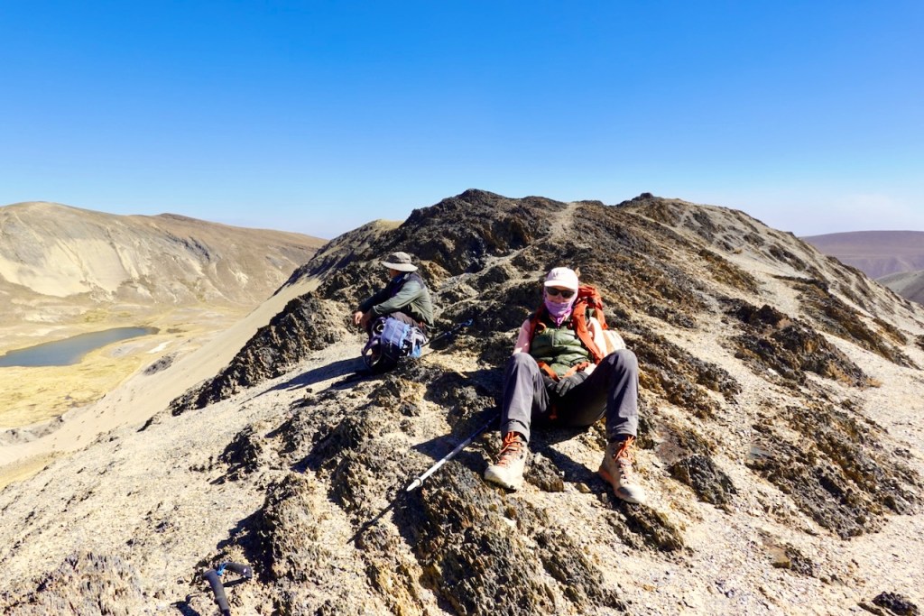
Around 11 a.m., we hit the trail to make our way back to Laguna Chojna Khota. We did not take the same trail back that we had followed the day before. Instead of following the valley around the ridges to make our way back to the pass, we went up, down, up, and down again across the two ridges that lay between the hot springs and the pass. This turned out to be quite a bit of extra work, but it was worth it for the spectacular views from the two ridges.
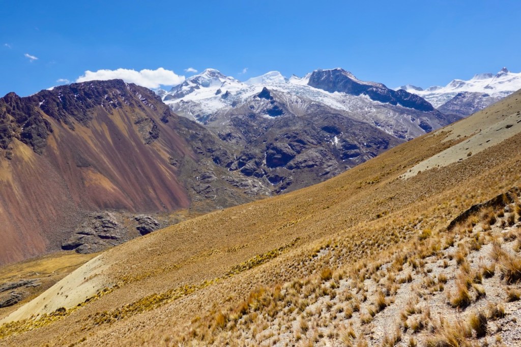
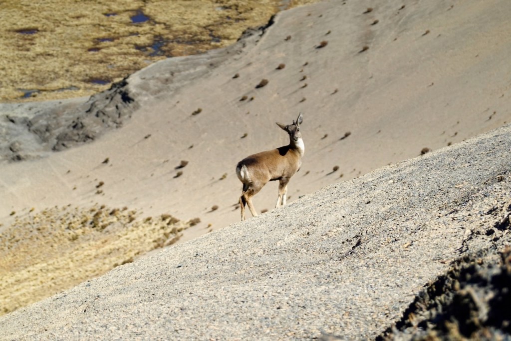
First, we made a diagonal traverse up steep scree slopes to the first ridge, which lay at 4,936 meters. From the top, we had a closer view of the snow-capped mountains to the north. We then made a steep but relatively short descent into the valley between the first and second ridges, followed by another ascent to the top of the second ridge at 4,991 meters. On the far side, we spotted some wild deer.
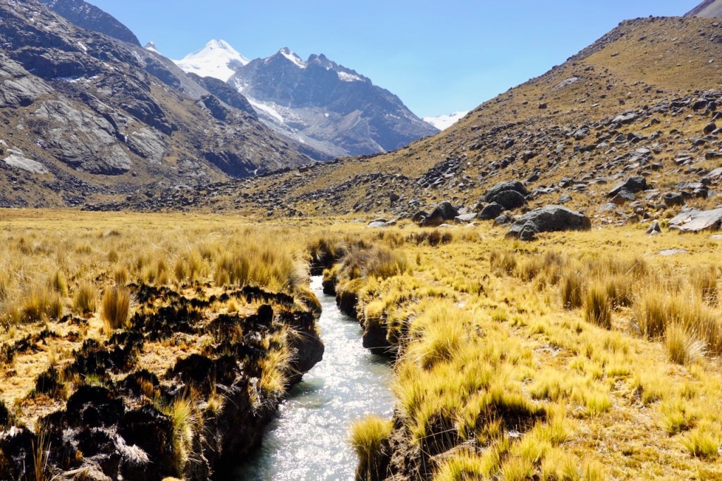
From the second ridge, we crossed yet another valley and traversed back to the pass we had crossed the previous day at 4,972 meters. From there, we retraced our steps from the day before back to Laguna Chojna Khota, where we found the camp already set up a few hundred meters before the shoreline.
Distance 11 km, ascent 700 meters, descent 470 meters
First ridge: elevation 4936, latitude -15.926035, longitude -68.515526
Second ridge: elevation 4991, latitude -15.933705, longitude -68.505035
Pass: elevation: 4972, latitude -15.945936, longitude -68.502931
Campsite: elevation 4762, latitude -15.943018, longitude -68.475873
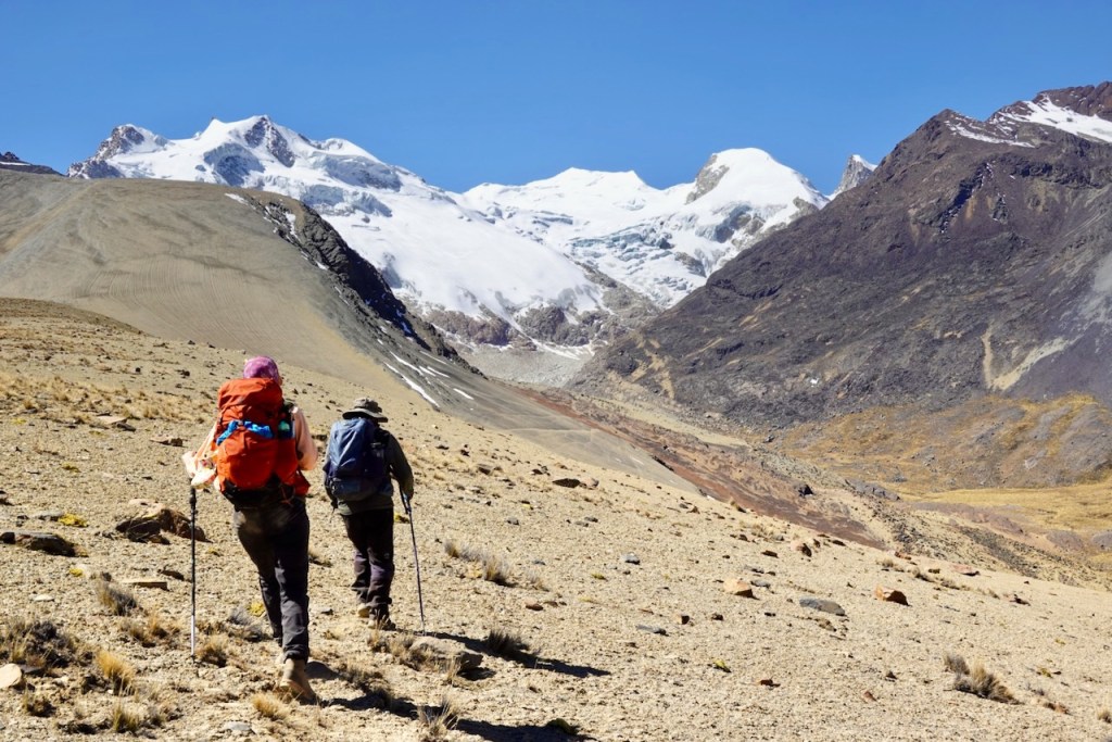
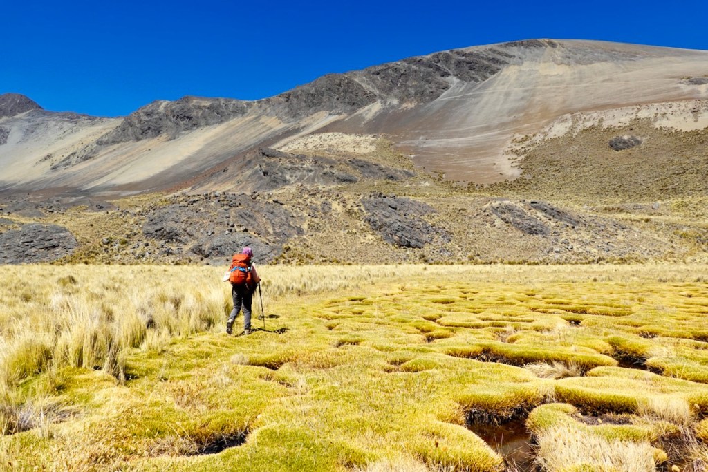
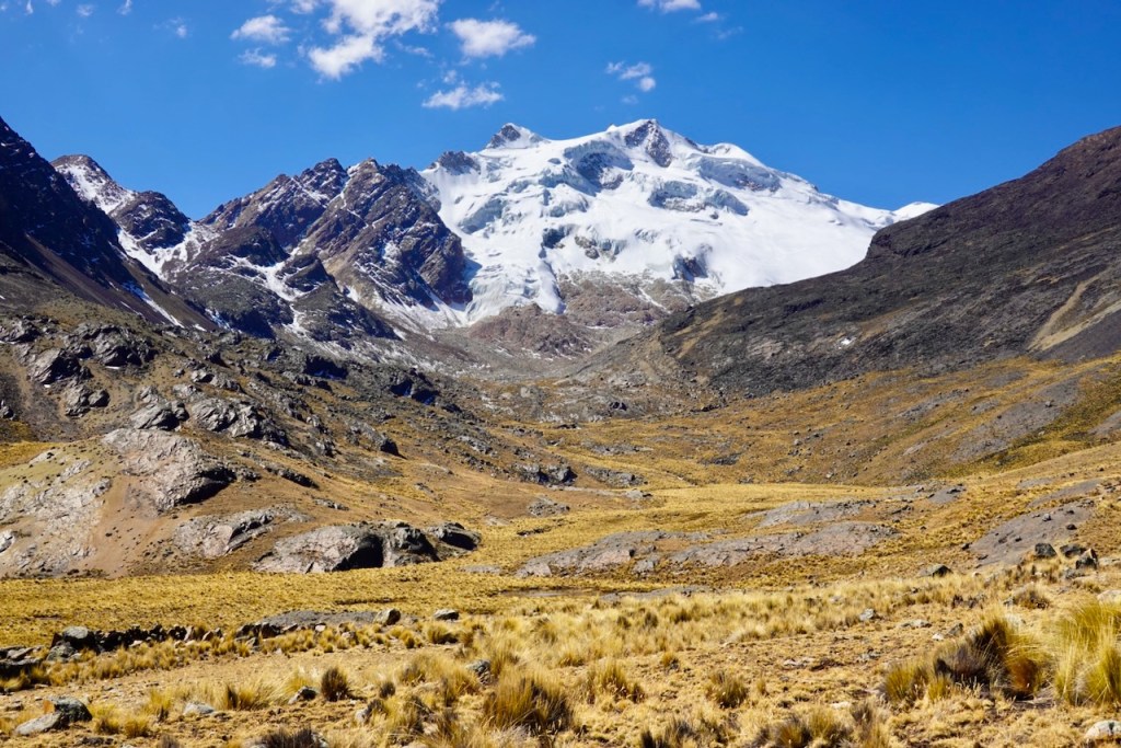
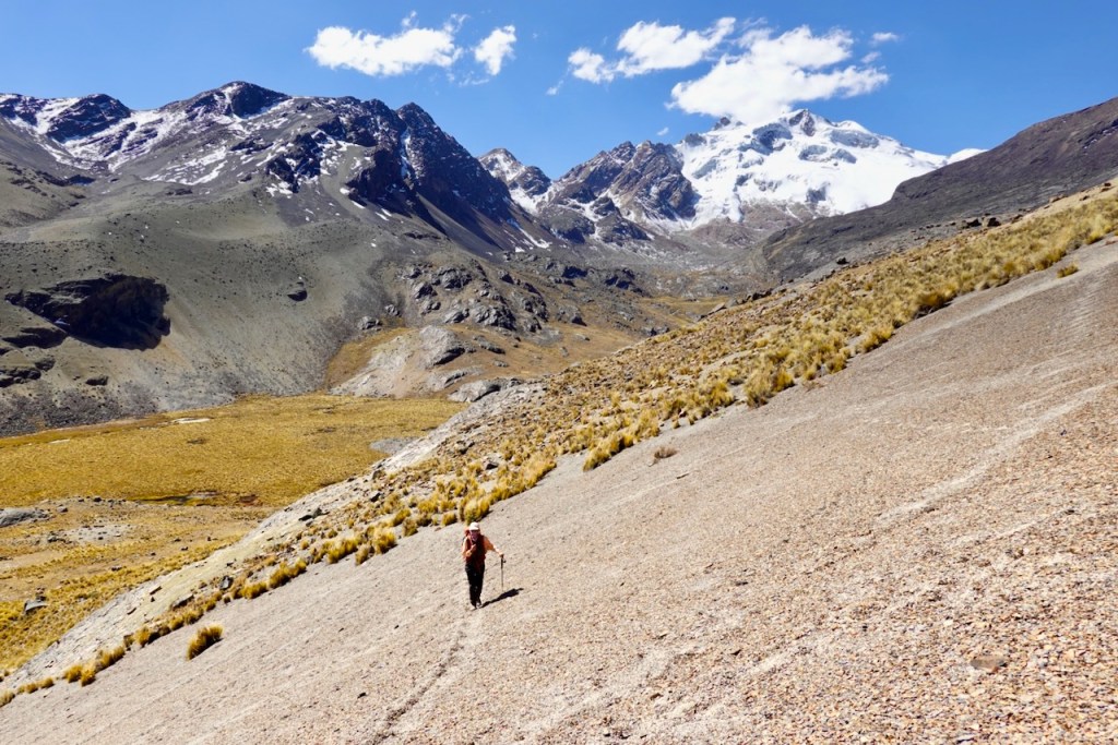
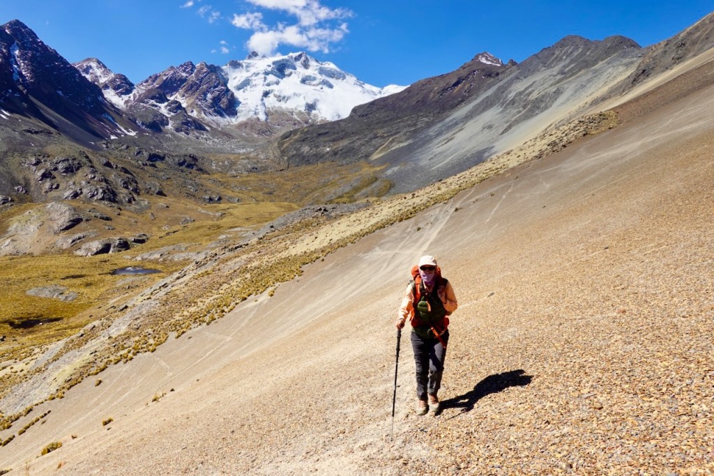
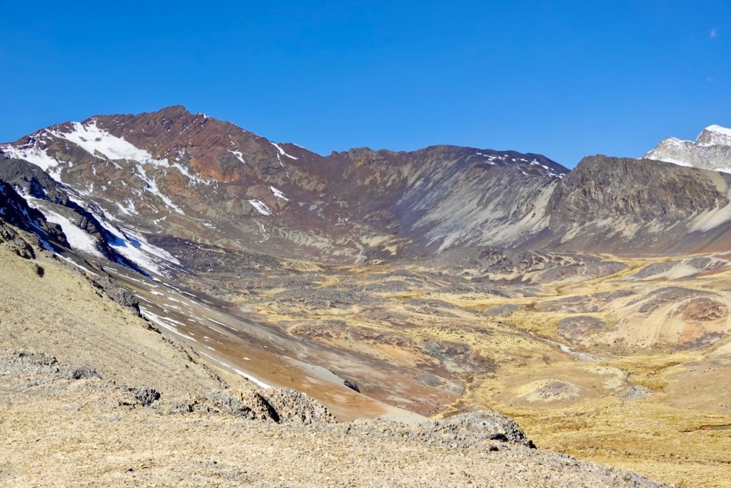
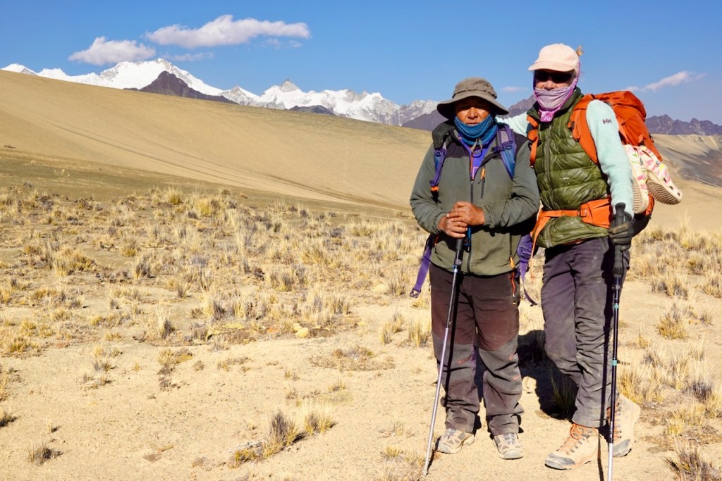
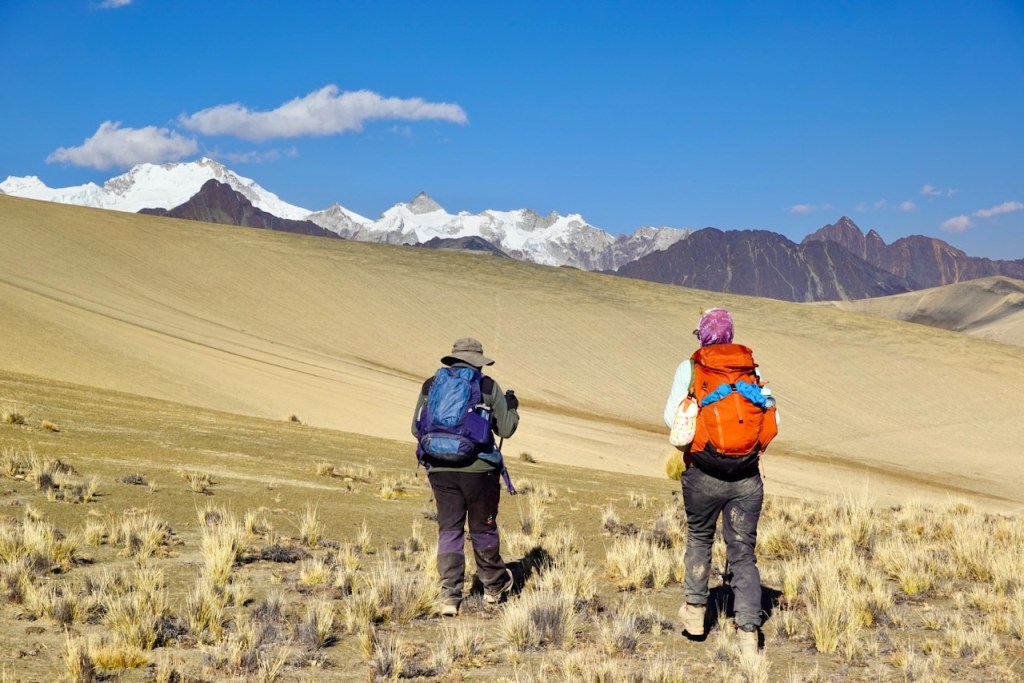
Day 9 (9 August 2026): Laguna Chojna Khota – Laguna Jistaña Khota
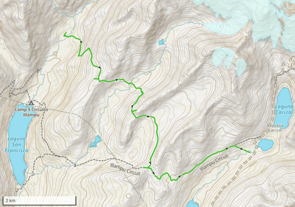
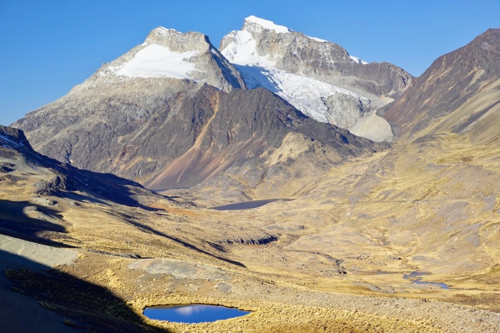
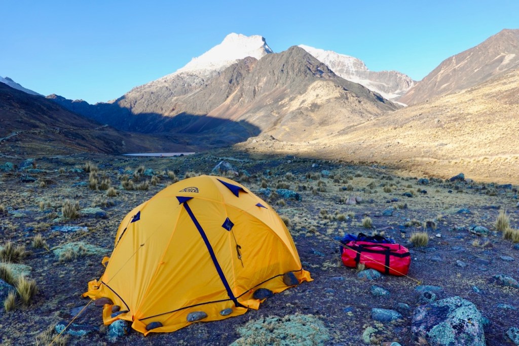
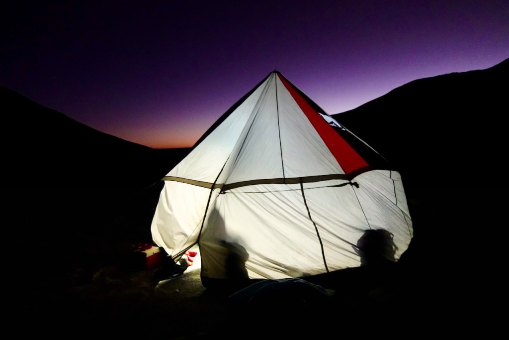
Our destination for day 9 was Laguna Jistaña Khota. Once again, our gear and supplies were transported by car, taking a long detour by road. This time, the driver was Celso’s daughter, Esther.
First, we headed down to the south-shore of Laguna Carizal. In calm weather, there is a beautiful reflection of the mountains in the lake, but this time there was too much wind and too many waves. Still, the llamas grazing next to the lake were cute.
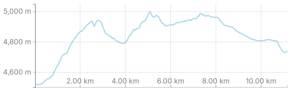
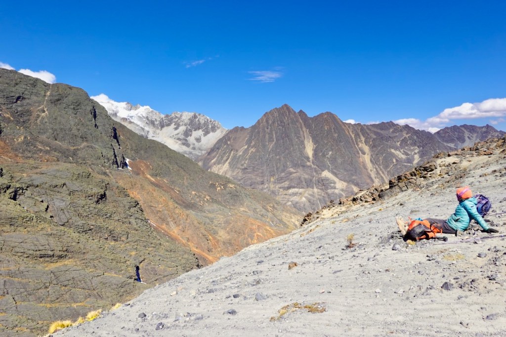
We then ascended the slopes to the south of the lake. As we climbed higher, the views of the snow-capped peaks behind us became more and more beautiful. Eventually, we reached a tiny lagoon in the middle of a scree-covered plateau at 5,015 meters.
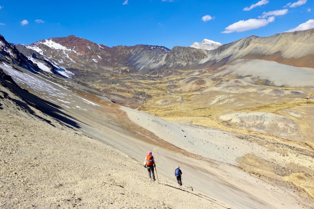
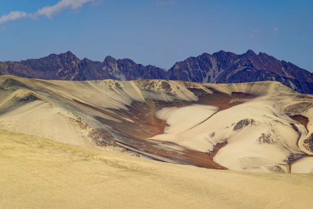
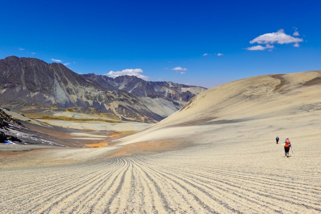
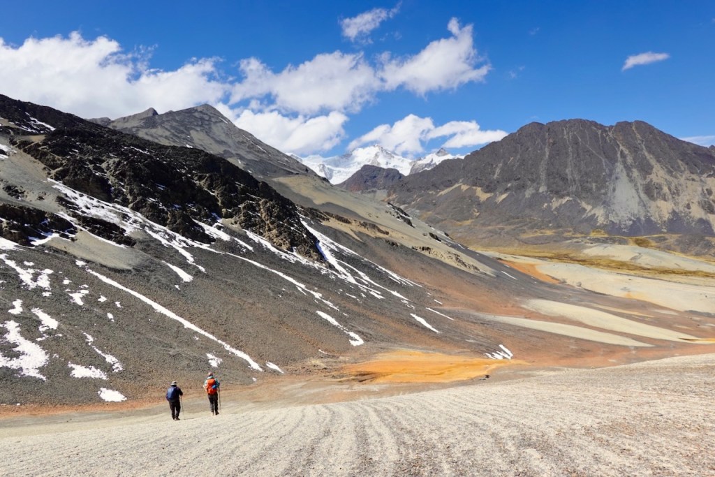
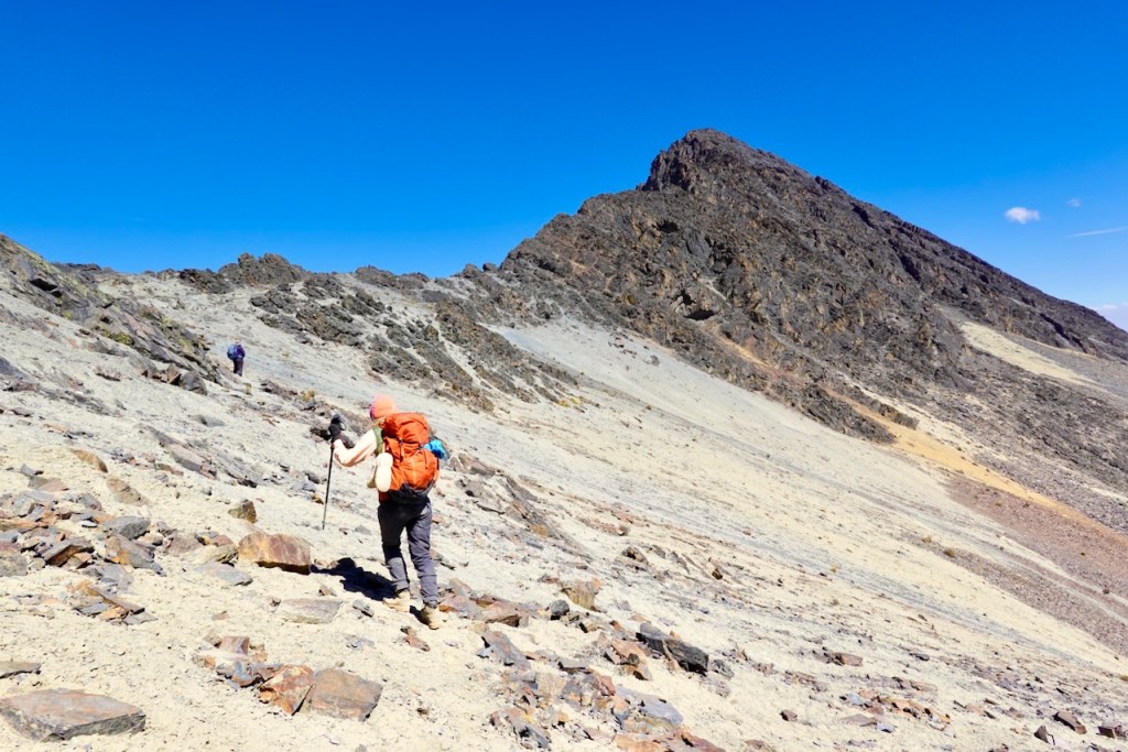
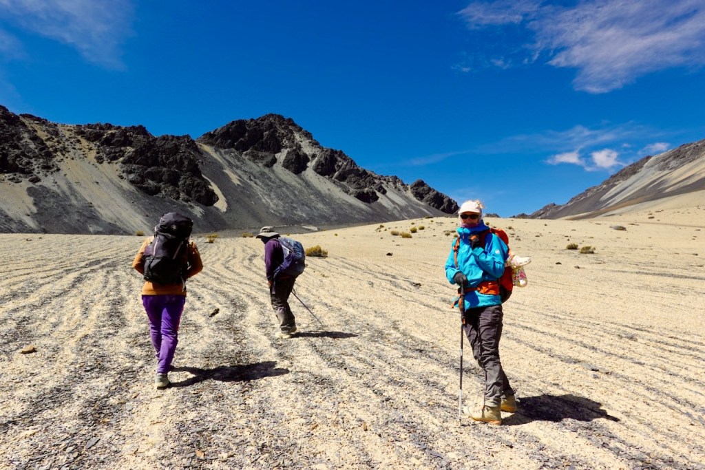
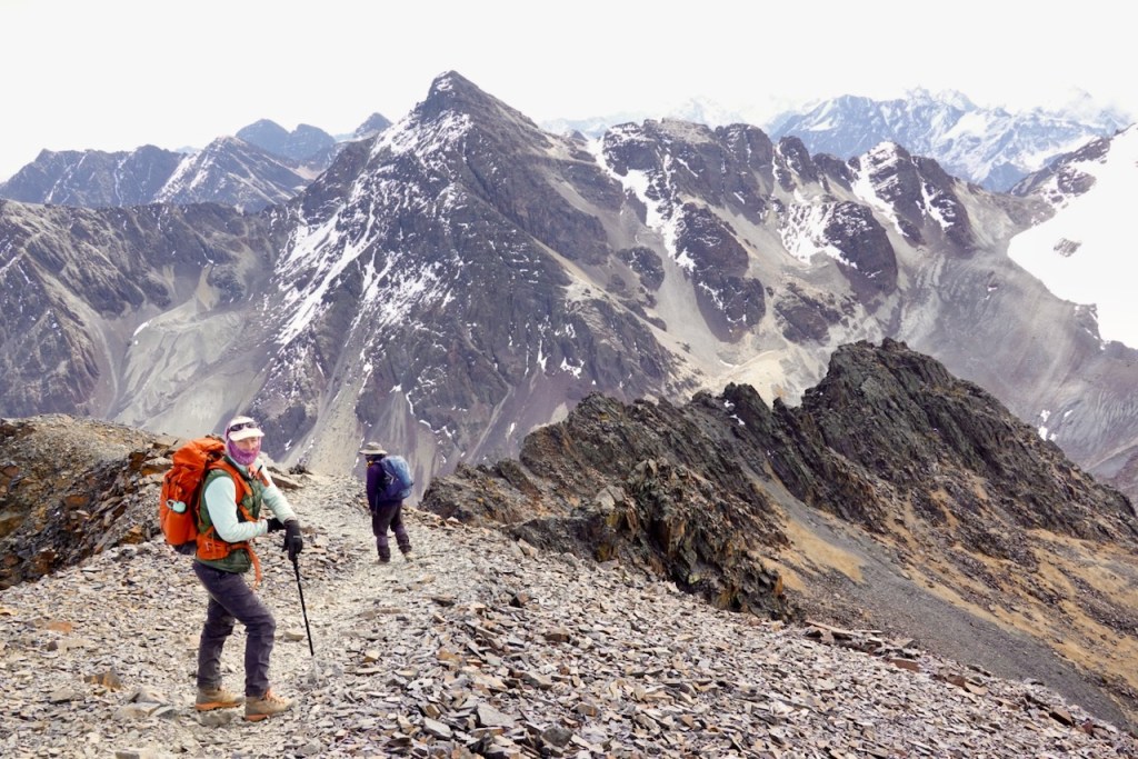
We continued traversing up more scree slopes until we reached a pass at 5,102 meters. The scree slopes (not just here, but throughout the whole trek) had interesting black-and-gray stripe patterns, as if someone had plowed them. Apparently, this is caused by melting snow.
On the far side of the pass, we descended into a valley. The normal route turns right (south-west) and follows the valley toward the campsite. But Celso had noticed an interesting second pass on the left (north-east) side of the valley. He had never been there and was curious to try it out and see what lay beyond. According to the map, it should theoretically also be possible to reach the campsite that way. He asked us if we were okay with trying it, and we agreed. It was still early in the day, and if it didn’t work out, we could always turn around and follow the normal route.
So we turned left and headed toward the mystery pass. The route was very rocky, and the final section was a bit steep, but we made it to the top without any problems. The view from the top was quite stunning. There was a very steep descent into the next valley, and beyond it, on the other side of the valley, were some very rugged, deep-brown mountains.
We could not quite see how the steep trail descended from the pass into the valley and then continued toward the campsite. Celso climbed a little farther up a nearby peak to get a better view. He wasn’t sure, but it seemed that the next valley might be blocked by a cliff. If we descended into the valley and discovered that we had to turn around after all, we would face a long steep climb back up. So we decided not to risk it. We turned around at the top of the mystery pass and went back to follow the normal route to the campsite.
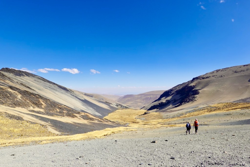
We descended back into the valley we had come through, turned left, and eventually found Laguna Jistaña Khota and our campsite already set up and waiting for us.
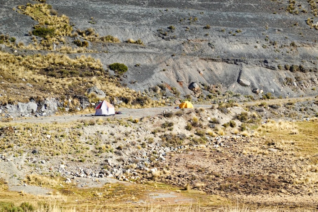
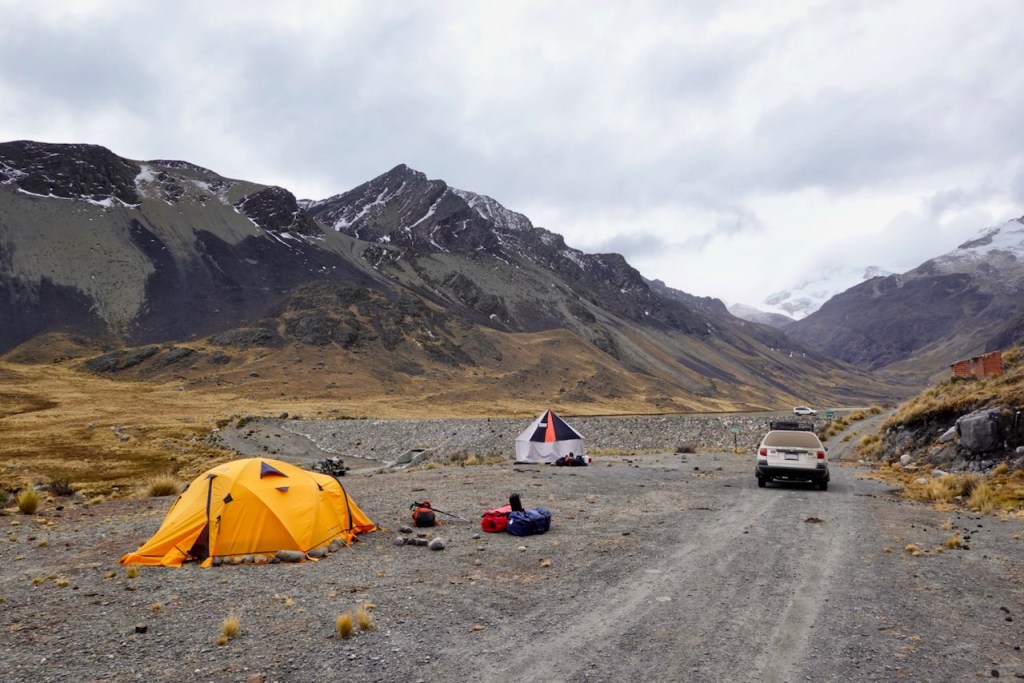
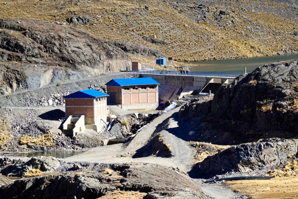
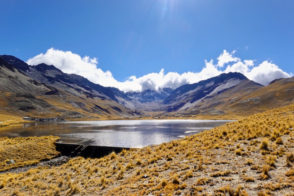
It was probably the least scenic campsite of the entire trip. Like many lakes in the region, a dam had been built at Laguna Jistaña Khota, and because of this there was also a dirt road leading to the dam. There was no traffic, but the presence of the dam and road took away some of the wildness of the place. On top of that, our campsite had been set up right in the middle of the road next to the dam. Not very idyllic. It would have been much nicer to set up camp in one of the grassy spots some distance from the road. We asked Celso to have the staff do that for future campsites.
Distance 9 km, ascent 510 meters, descent 644 meters
Tiny laguna: elevation: 5015, latitude -15.950313, longitude -68.471753
First pass: elevation: 5102, latitude -15.955978, longitude -68.477546
Second pass: elevation 5142, latitude -15.958725, longitude -68.460703
Campsite: elevation 4637, latitude -15.980505, longitude -68.472075
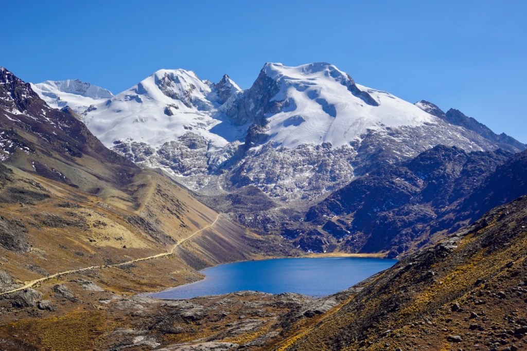
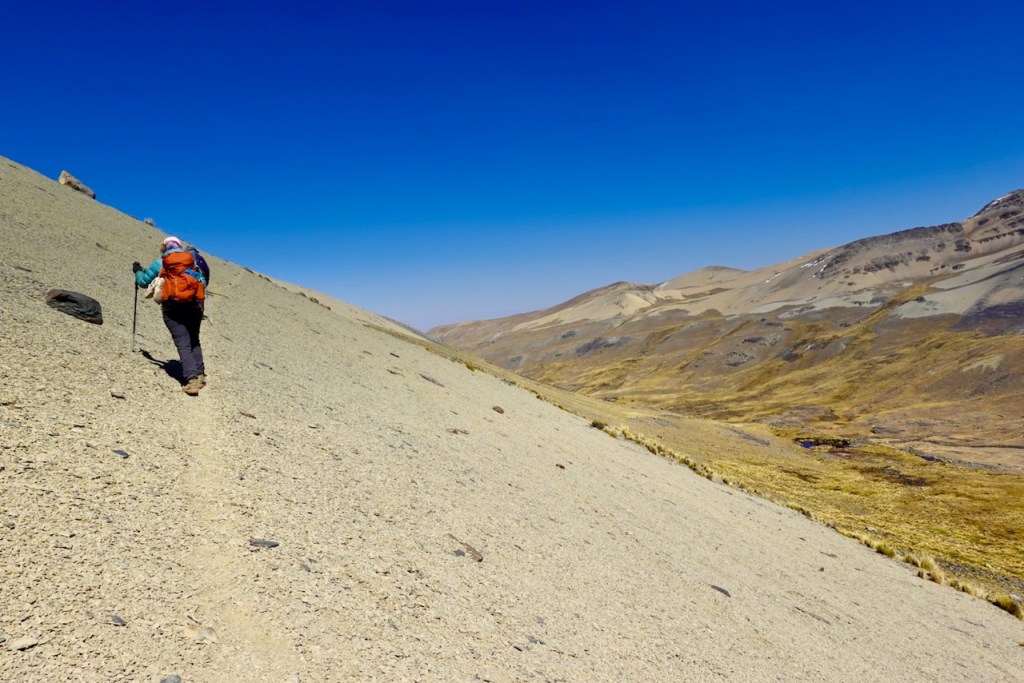
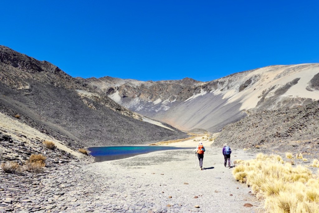
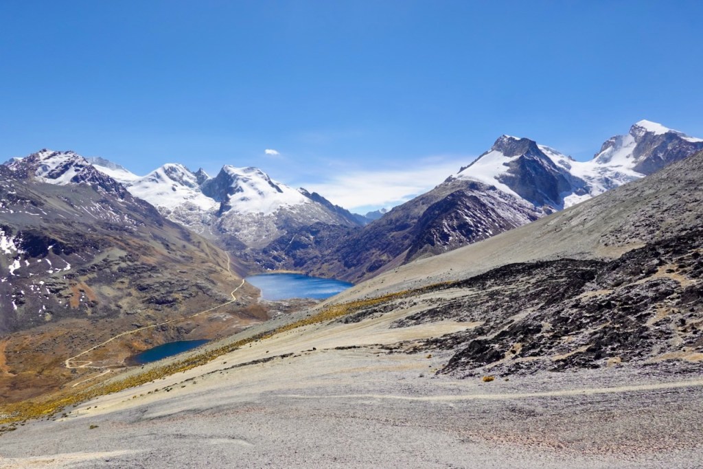
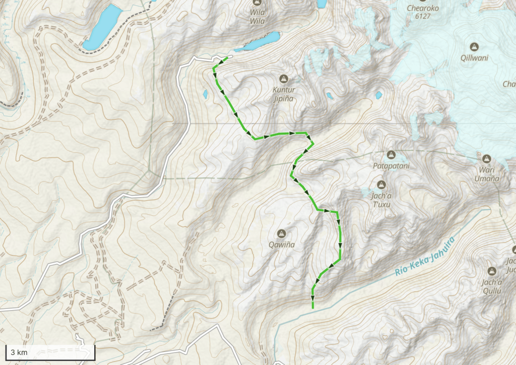
Day 10 (10 August 2026): Laguna Jistaña Khota – Rio Keka Jahuira
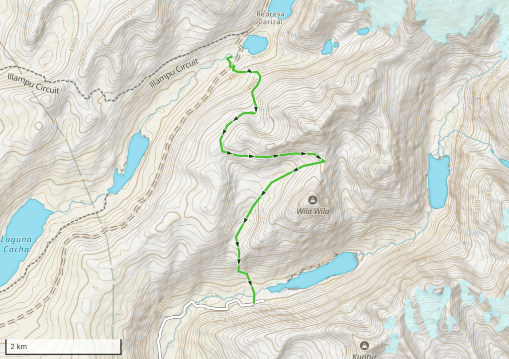
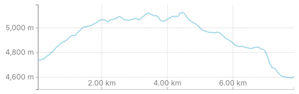
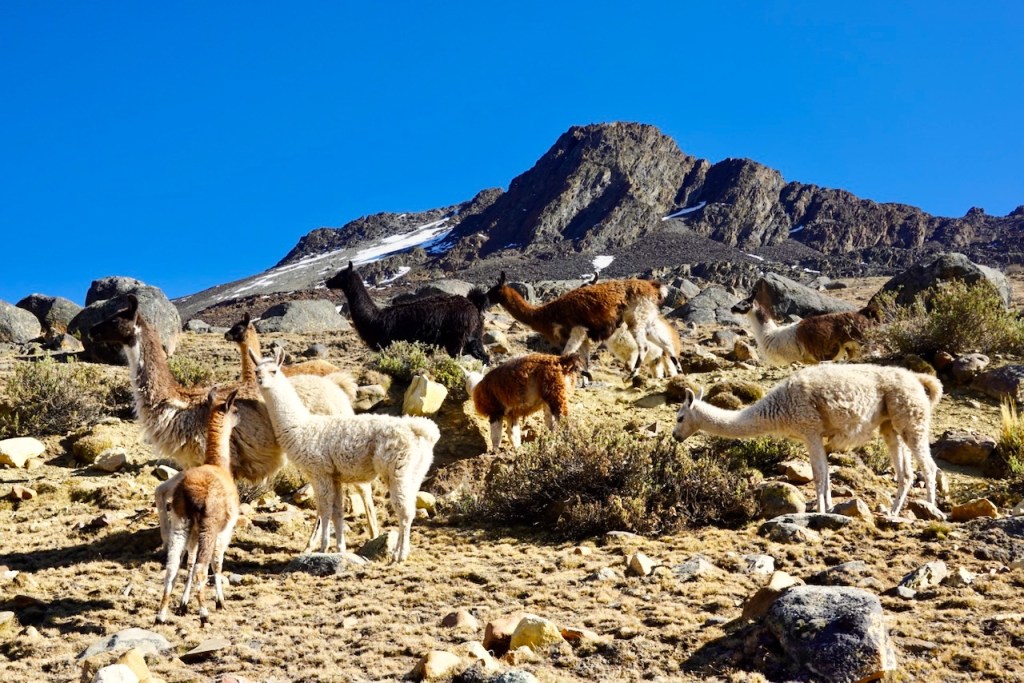
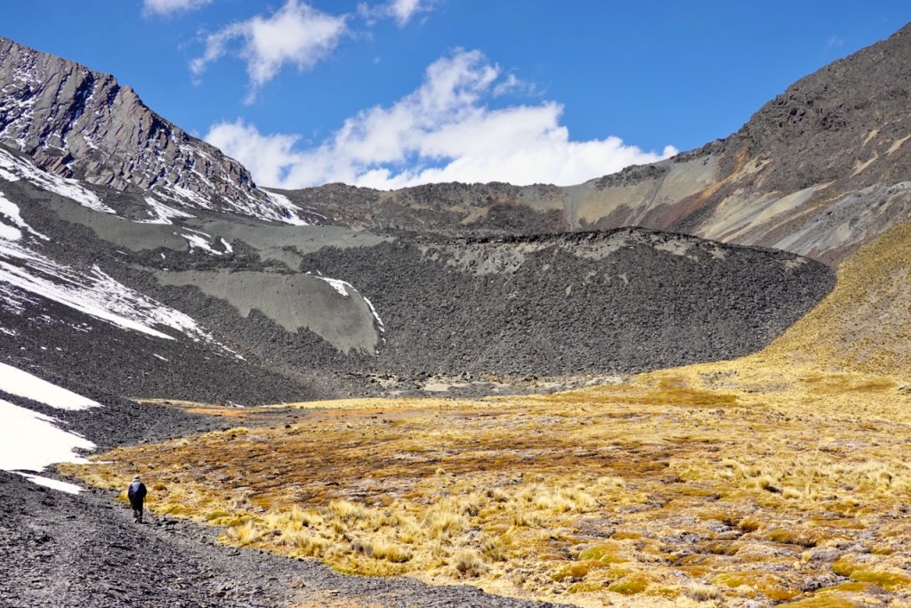
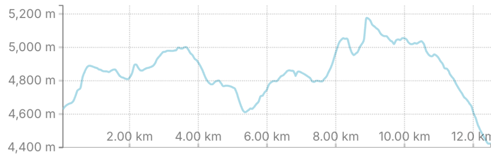
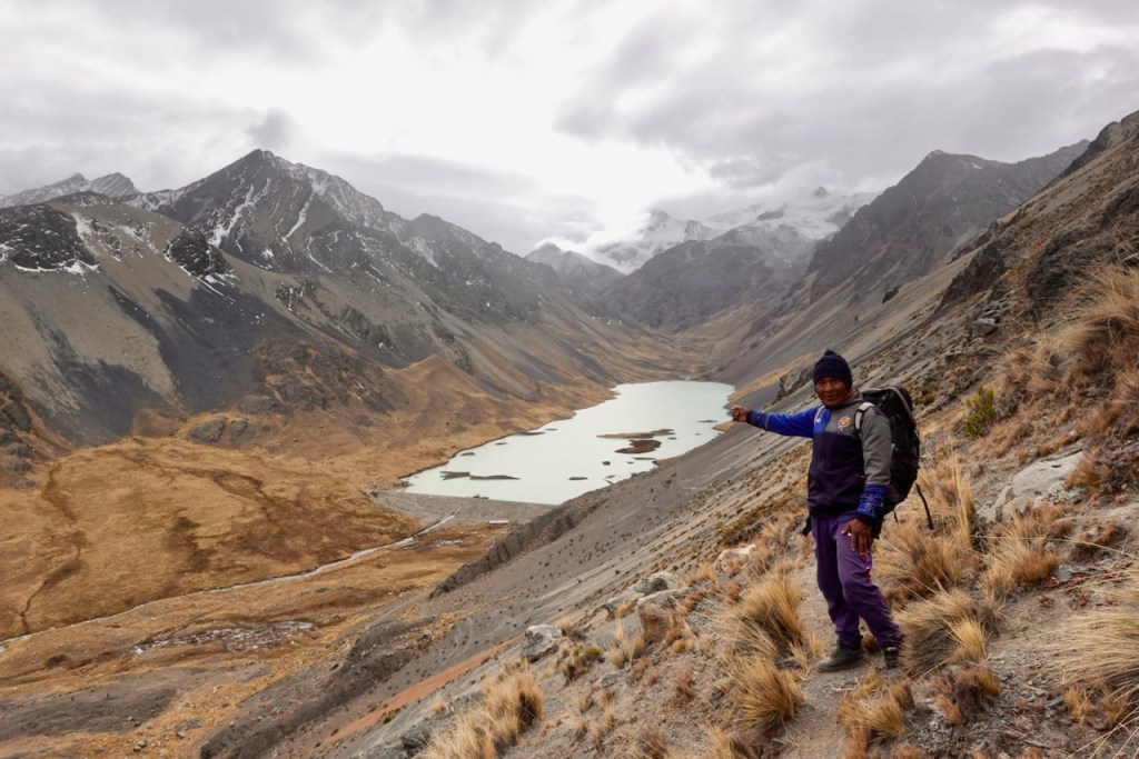
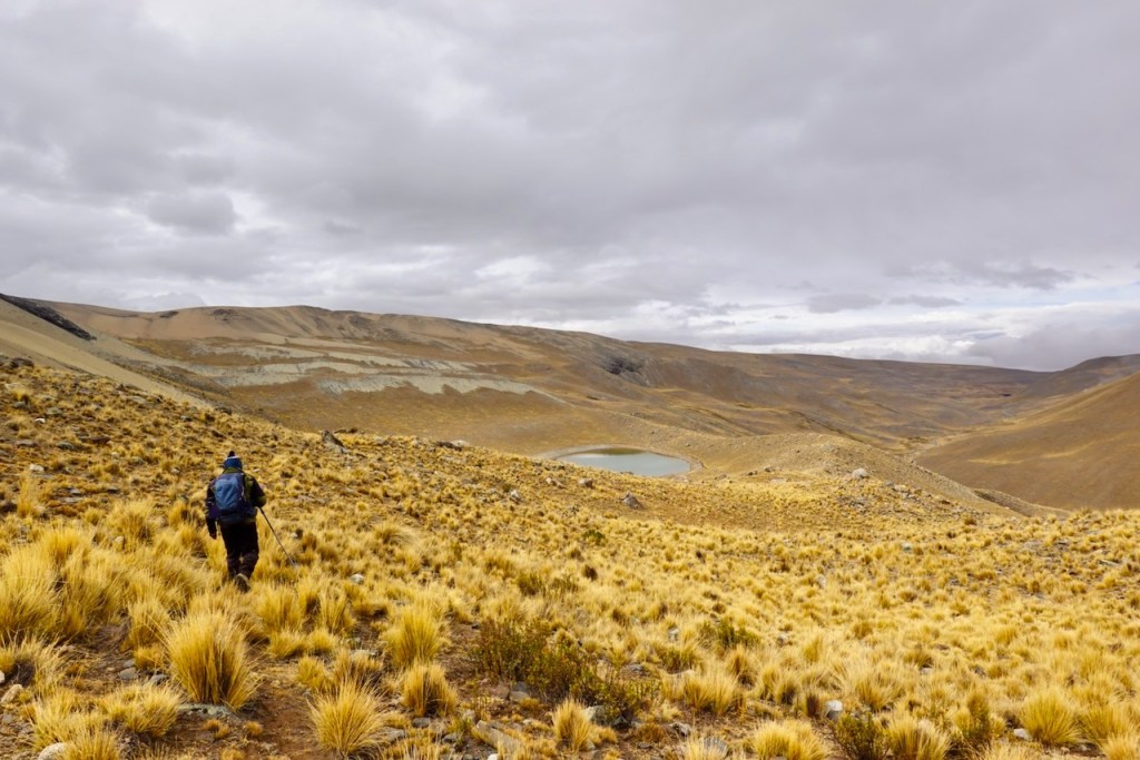
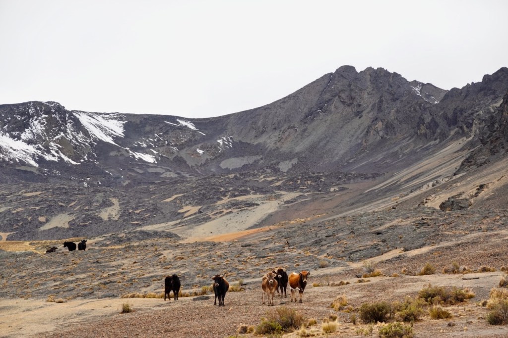
Another day with two passes of roughly 5,000 meters each. Once again, we started out with a diagonal traverse up a slope, this time climbing into the mountains south-east of the valley where we had camped. As we ascended and gained elevation, we got amazing views of Laguna Jistaña Khota and the snow-capped mountains beyond. The route (there was hardly any trail) ascended gently through wide plateaus dotted with herds of cows.
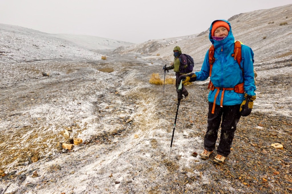
As we progressed, the clouds started rolling in until we were surrounded by dense fog. A little later, light snow and hail began to fall. Luckily, it didn’t last very long, and there was no accumulation.
From the first pass, at around 4,950 meters (I forgot to take a GPS reading), we made a fairly steep descent into the wide grassy valley below. We then continued ascending across austere scree slopes and reached a beautiful small lagoon at 4,976 meters, tucked against the bottom of a small cliff. We stopped there for lunch, taking shelter from the cold wind in the cliff’s wind shadow. From there, it was only a little farther up to the second pass at 5,070 meters.
From the second pass, there was a steep descent into the narrow valley beyond. Some groups choose to camp next to a small lagoon in this valley, particularly if they want to camp at high elevation to acclimatize for climbing expeditions. However, the valley was narrow and cold because it received very little sun. Celso recommended that we camp in a different, lower valley that was wider and received more sunlight. We agreed.
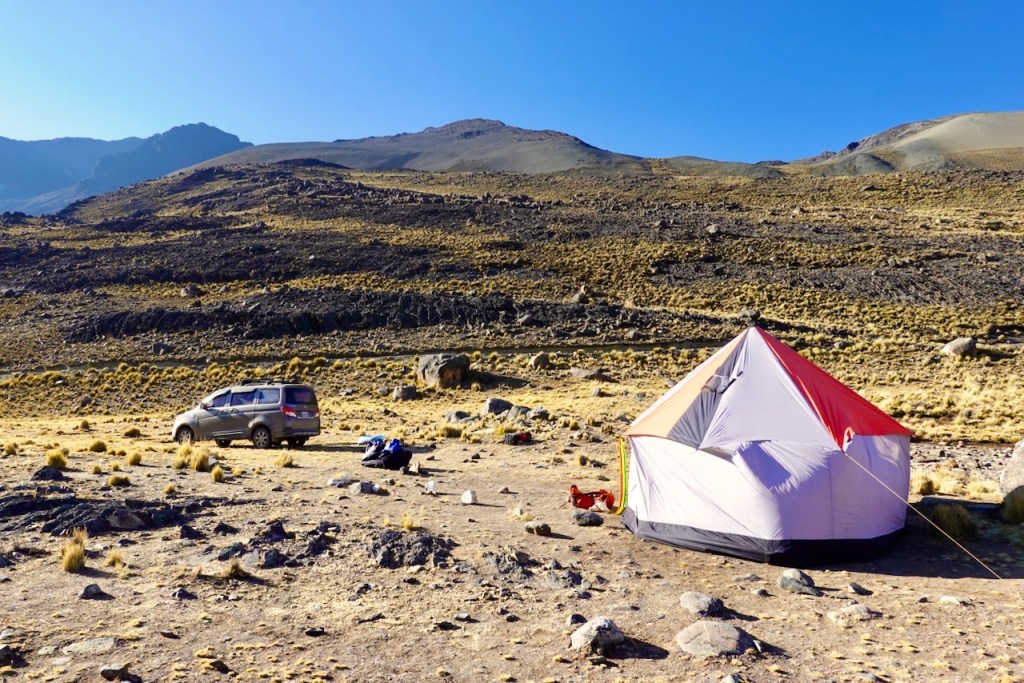
We therefore followed the top of the mountain ridge as it headed south toward the Keka Jahuiro River valley. Since we were walking along the ridge, the views were quite spectacular. After a final fairly steep descent, we reached the campsite in a very idyllic location near the river.
Our equipment and supplies had been transferred from the car to a new mule train that was waiting for us at the campsite.
Distance 13 km, ascent 1300 meters, descent 1510 meters (approximate)
Maybe first pass (not sure): elevation 4950, latitude -16.00347, longitude -68.46680
High laguna: elevation 4976, latitude -16.025898, longitude -68.445381
Second pass: elevation 5070, latitude -16.02715, longitude -68.44397
Campsite: elevation 4425, latitude -16.055831, longitude -68.445490
Day 11 (11 August 2026): Rio Keka Jahuira – Base of Warawarani Valley
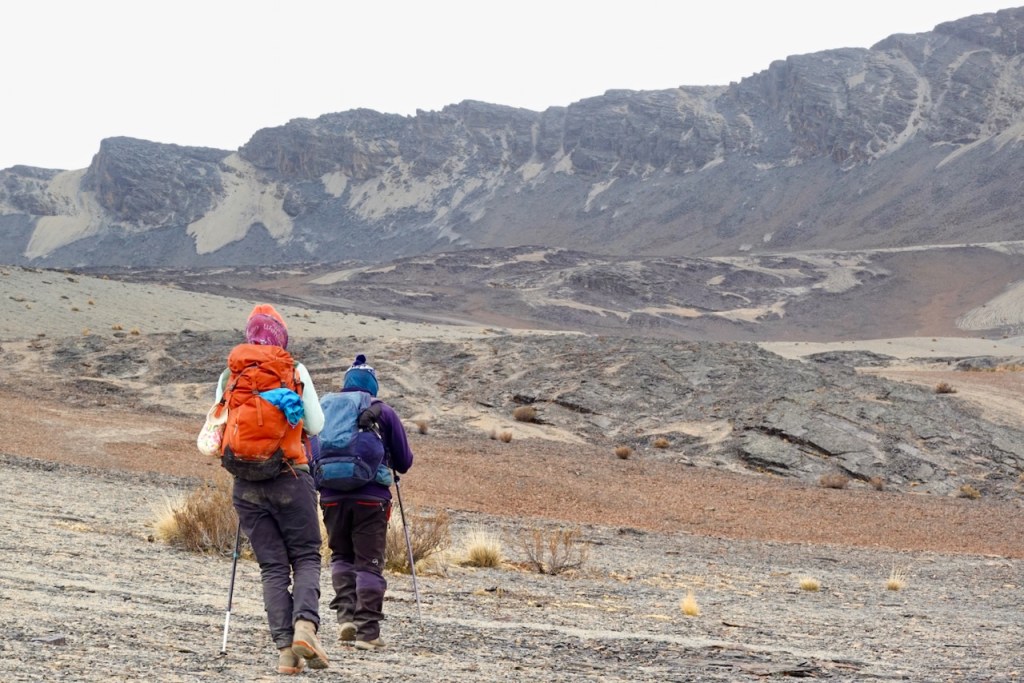
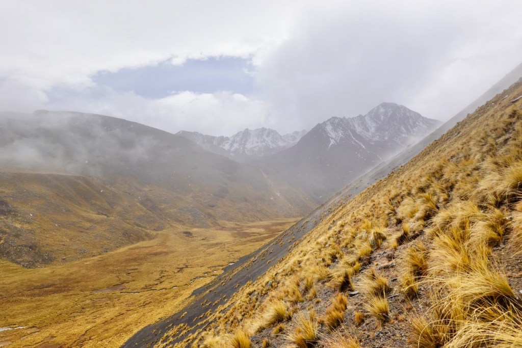
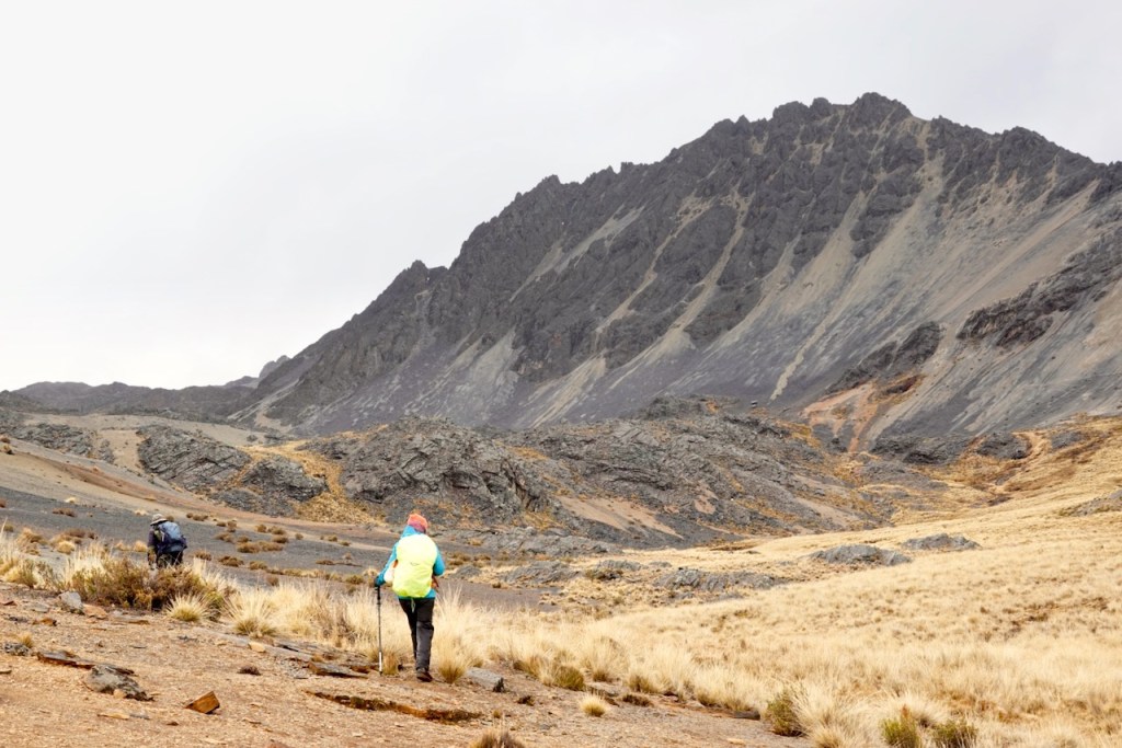
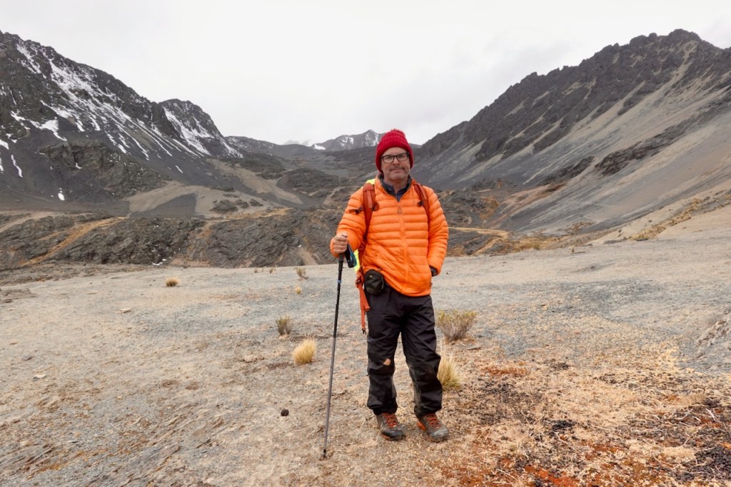
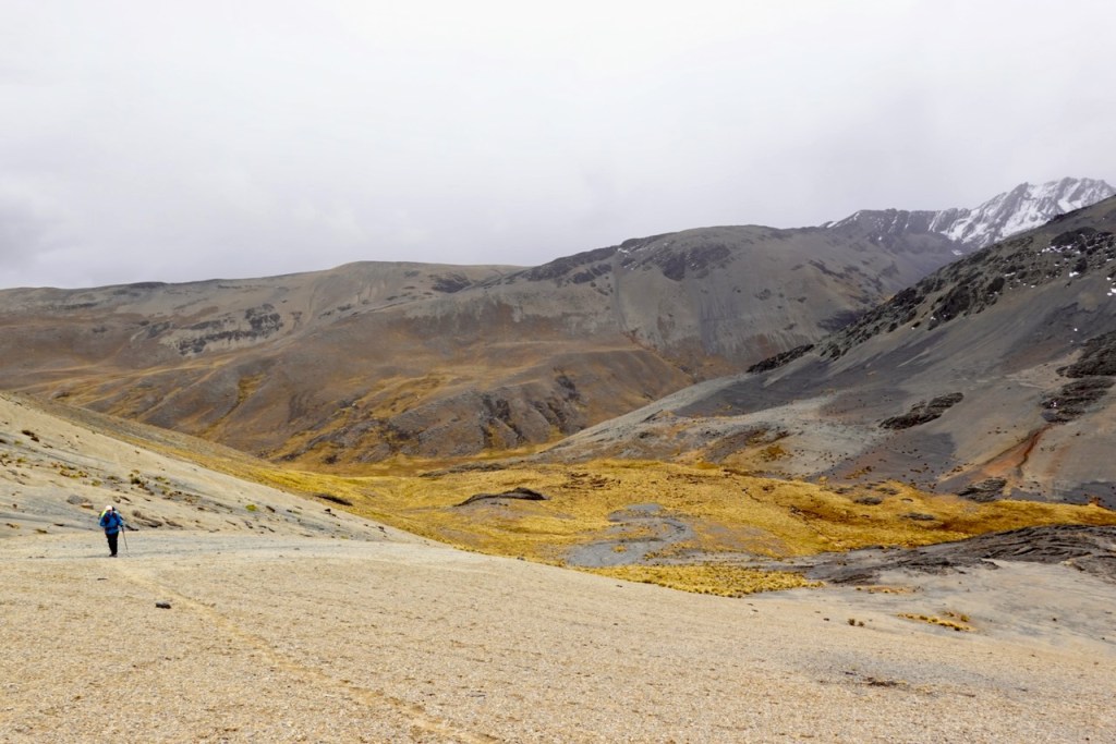
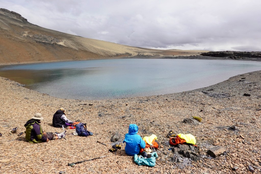
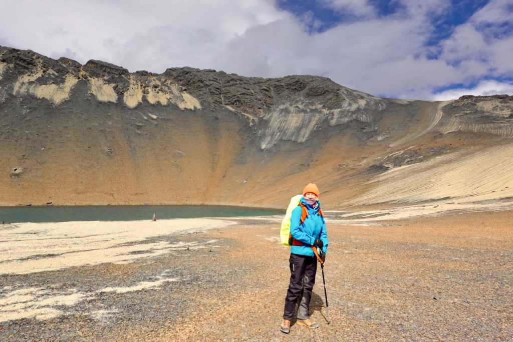
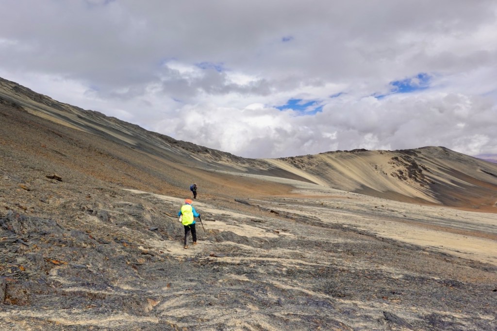
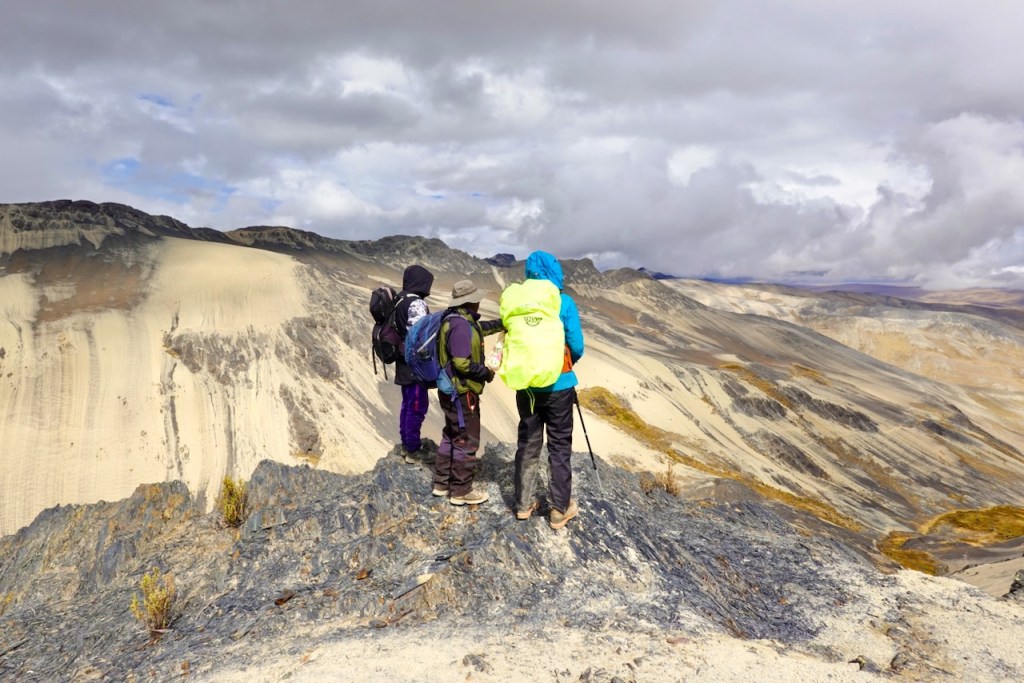
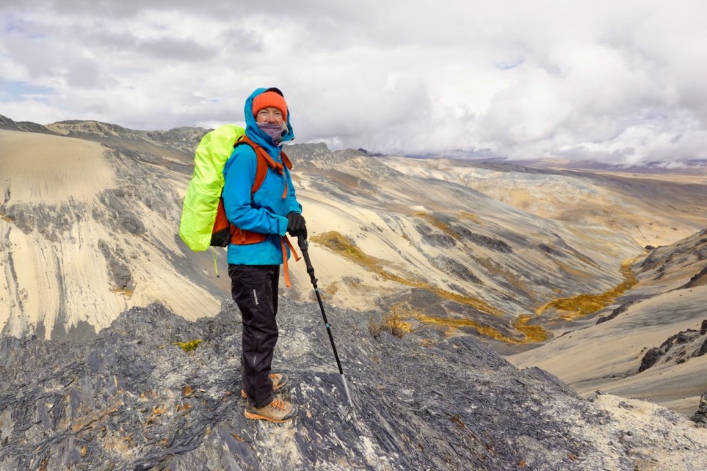
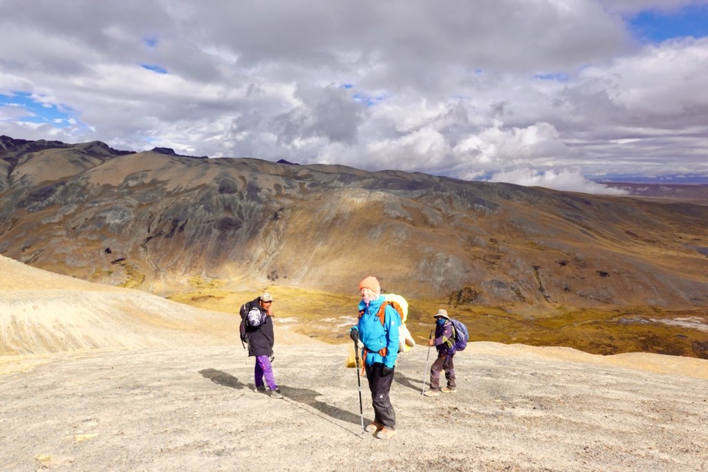
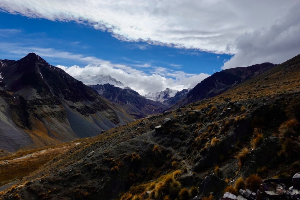
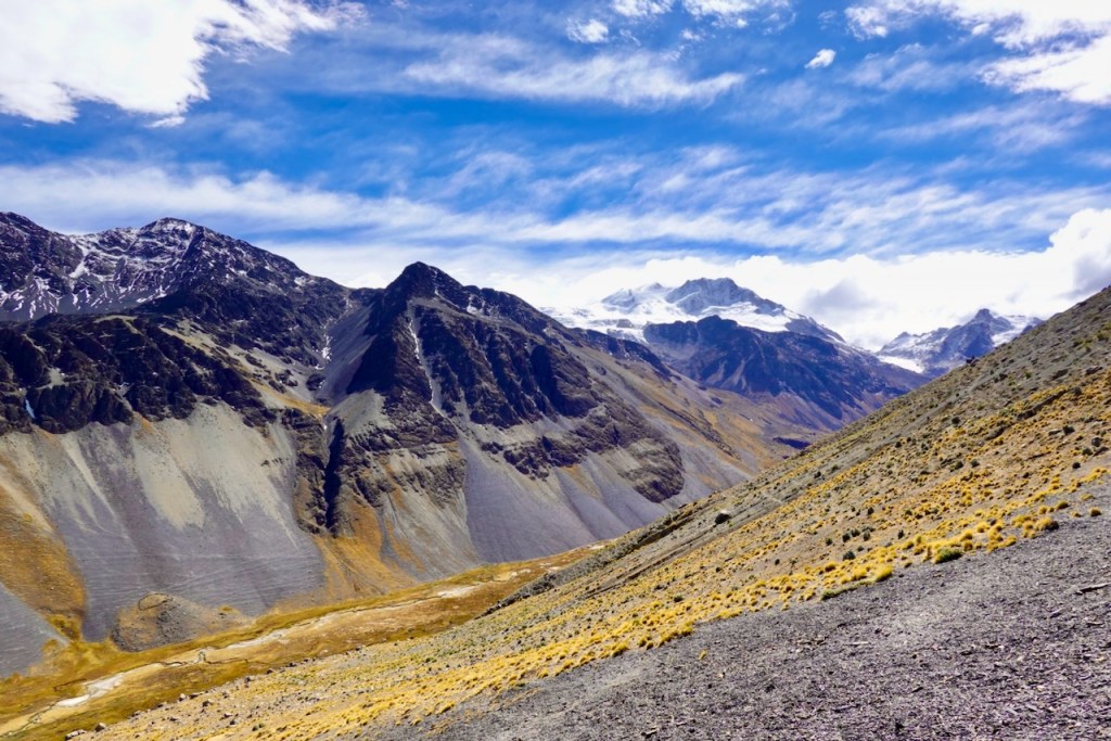
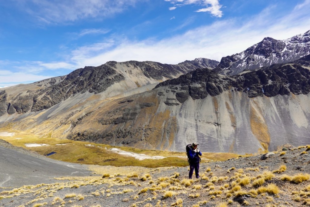
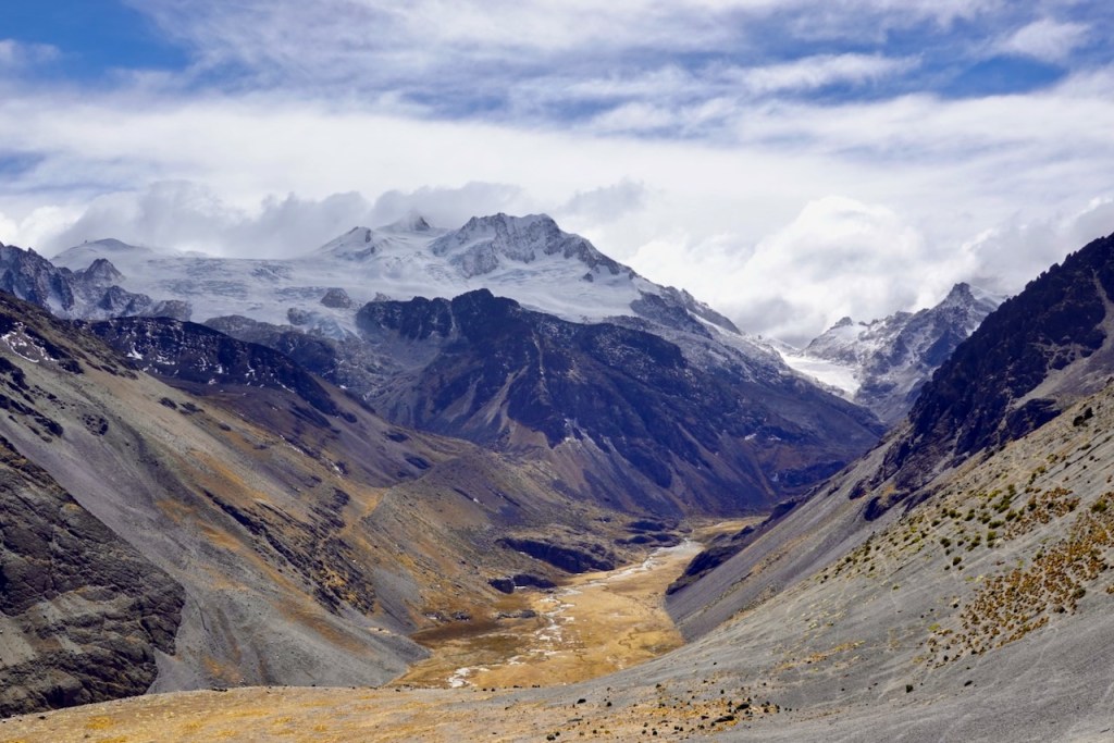
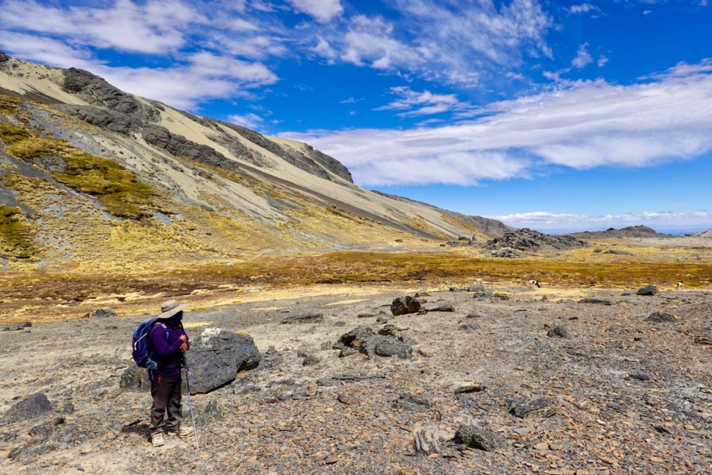
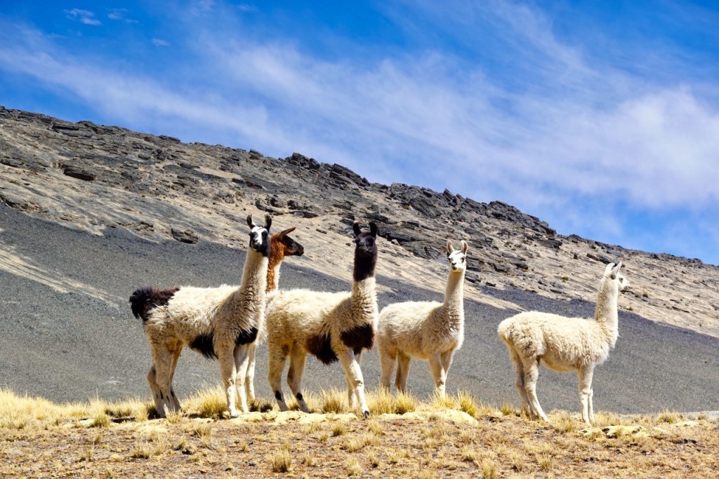
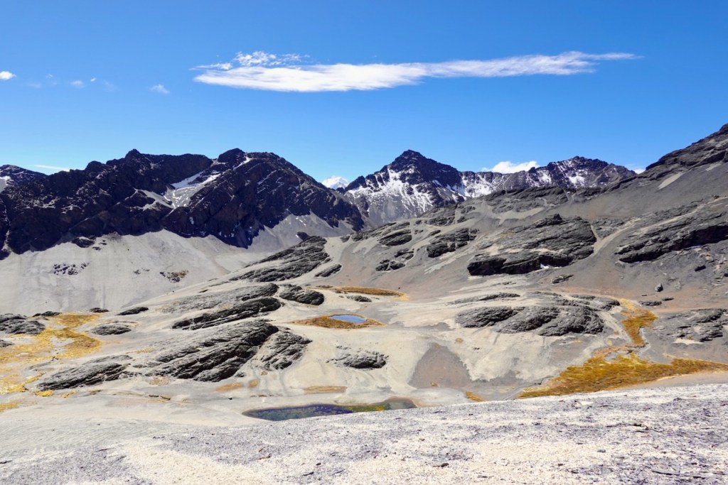
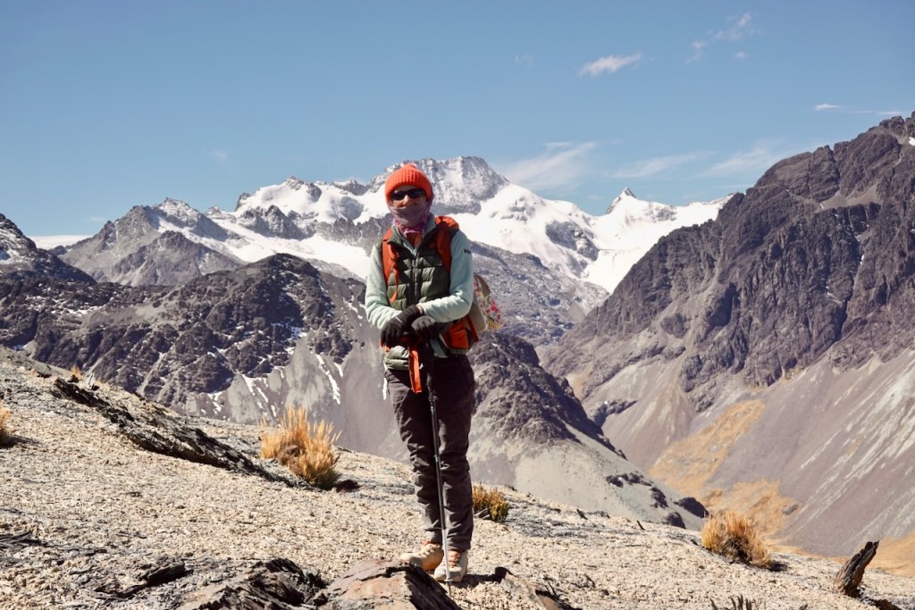
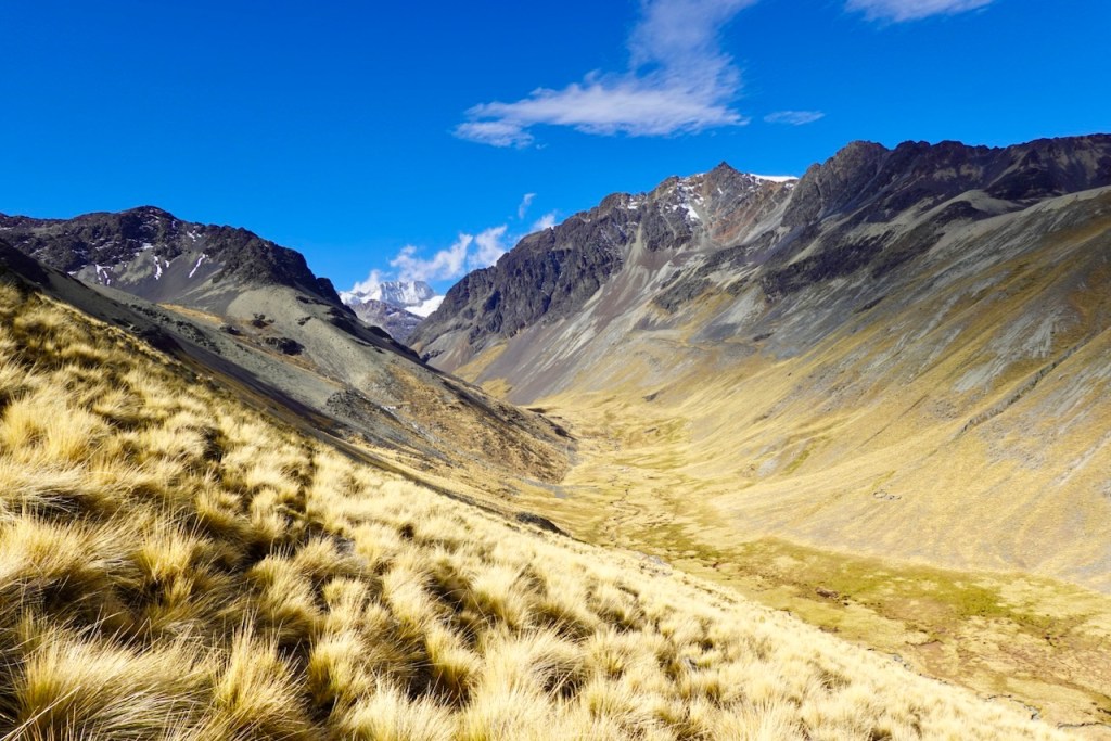
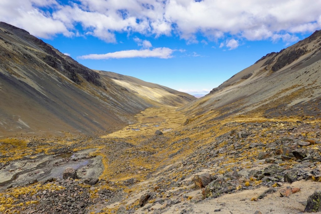
Day 11 was a particularly spectacular day. The skies were blue again, and the scenery was amazing.
As we were packing up camp, we were visited by a local woman and her daughter, who asked if we had any spare medicines for them and offered to sell us some of their handicrafts.
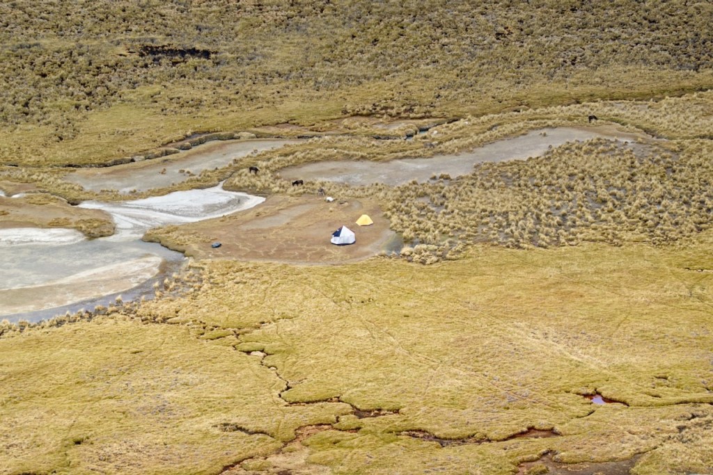
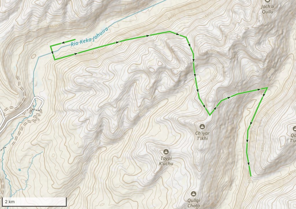
Our first order of the day was to make a long diagonal traverse up the slope on the other side of the valley in an eastbound direction. But to get to the other side of the valley, we first had to head down the valley in a westbound direction to avoid a very swampy area in the middle.
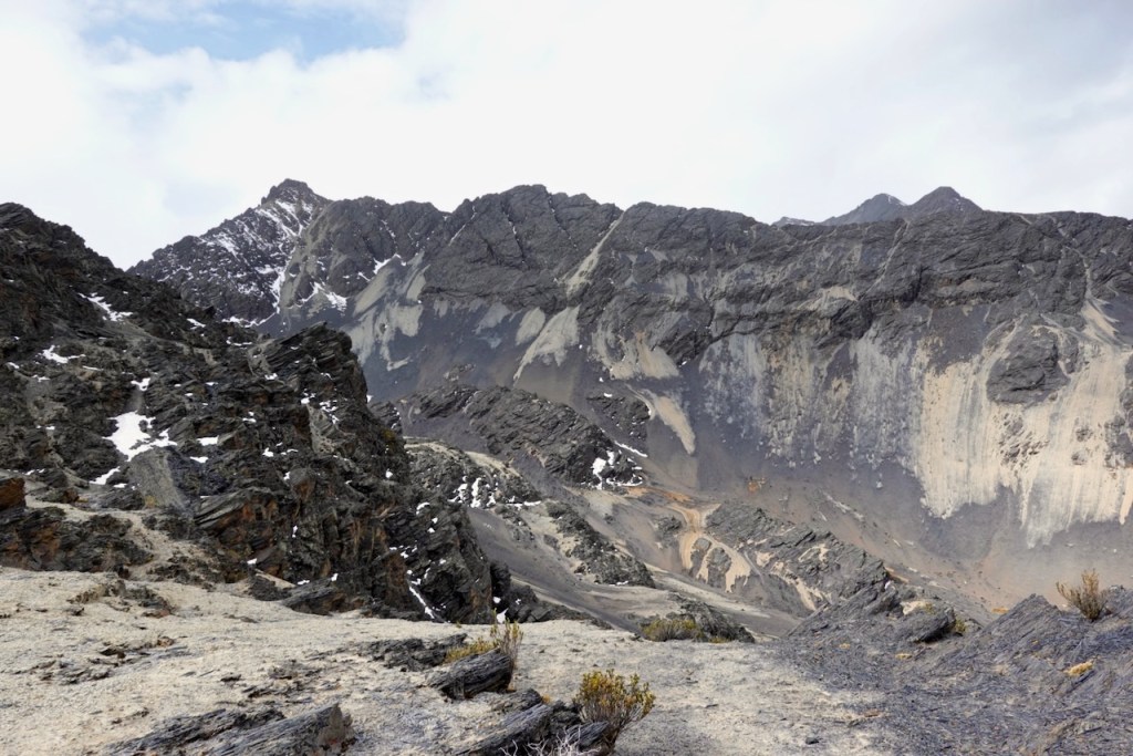
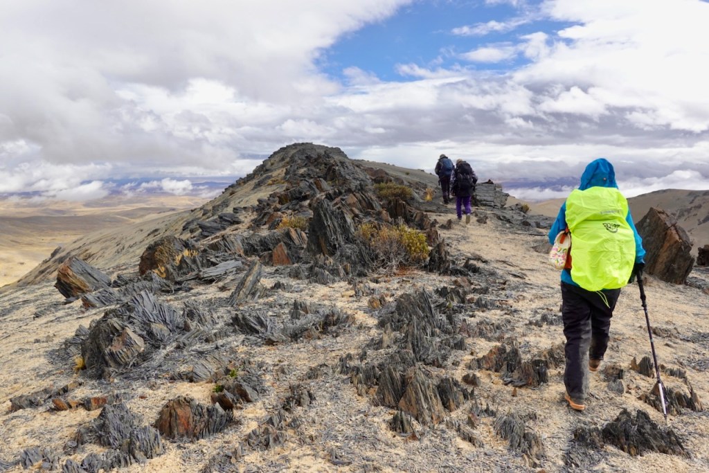
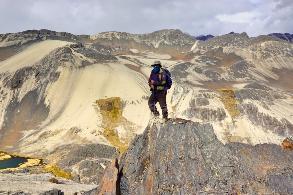
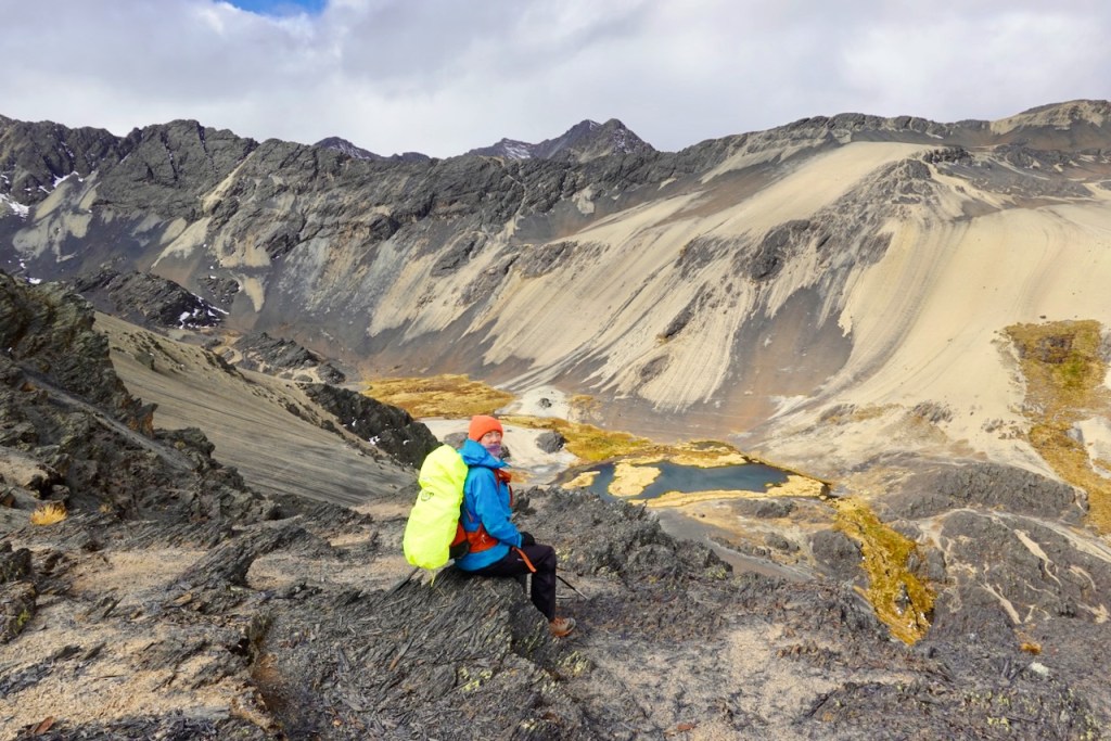
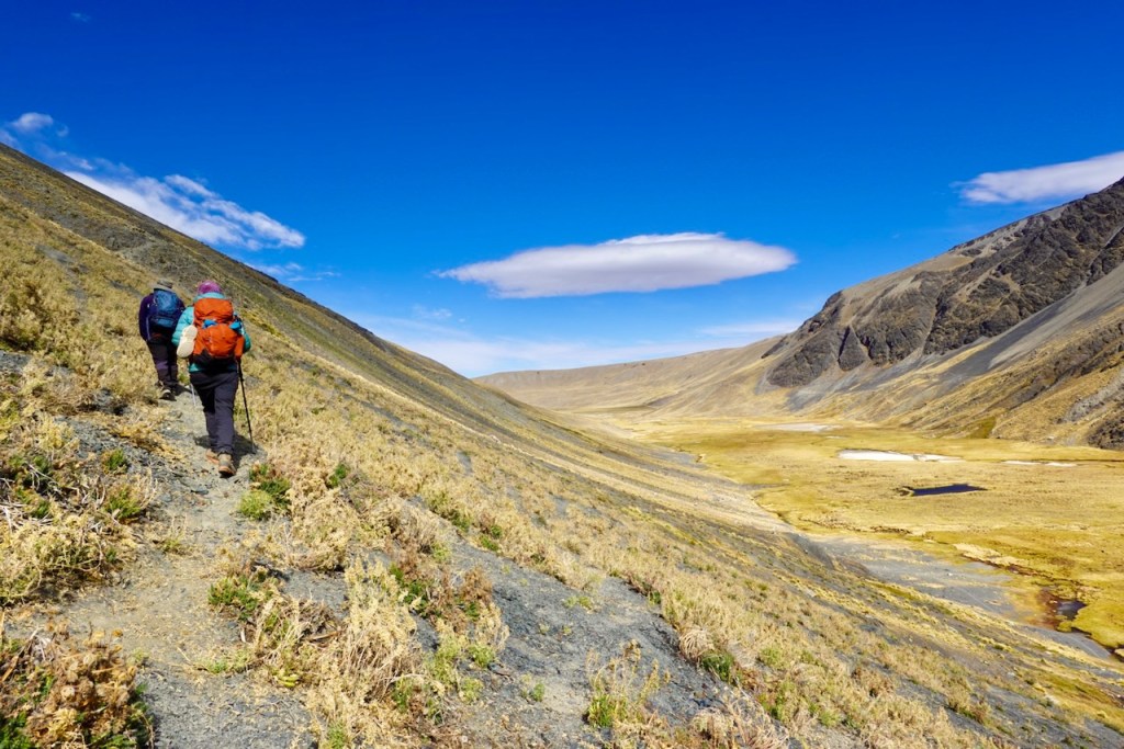
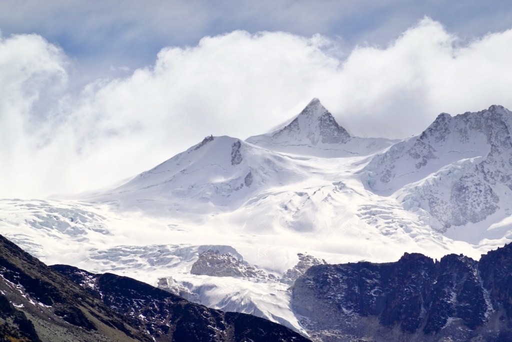
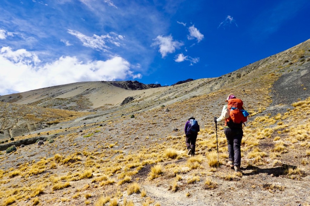
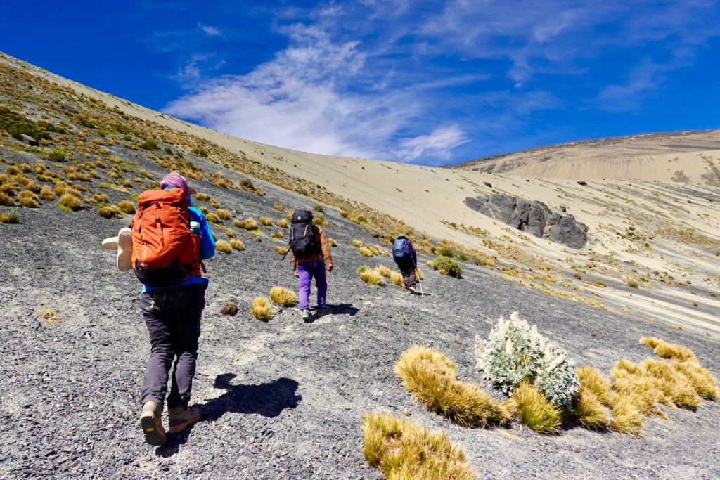
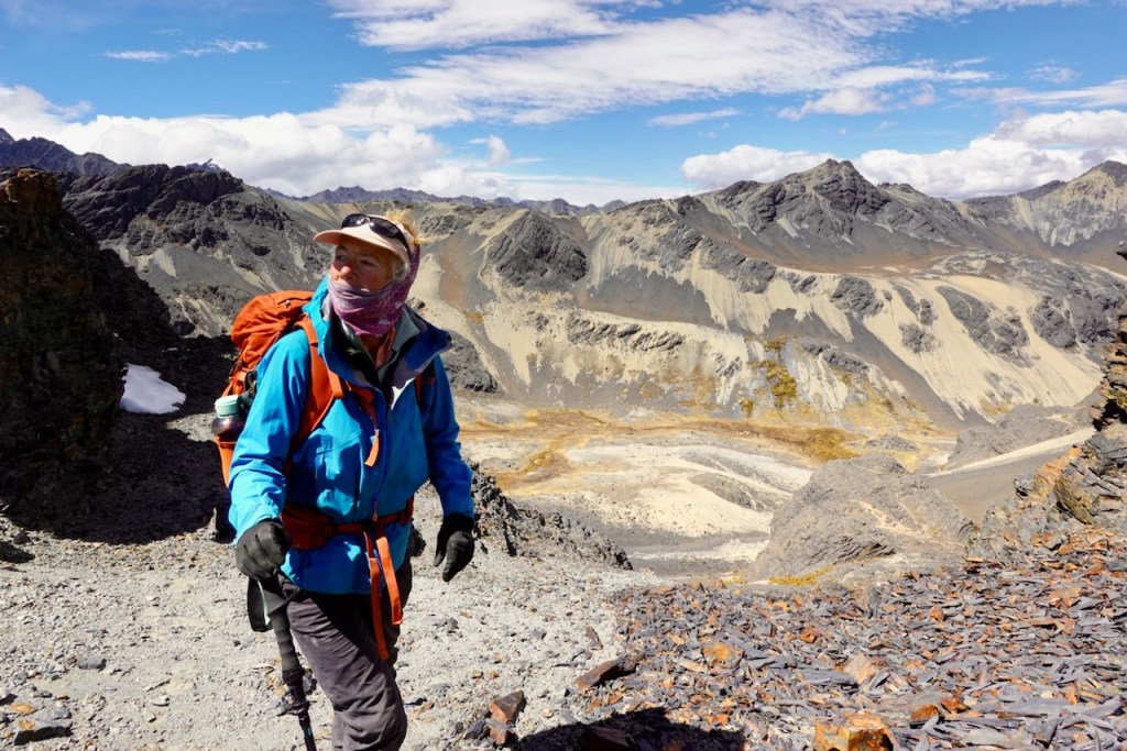
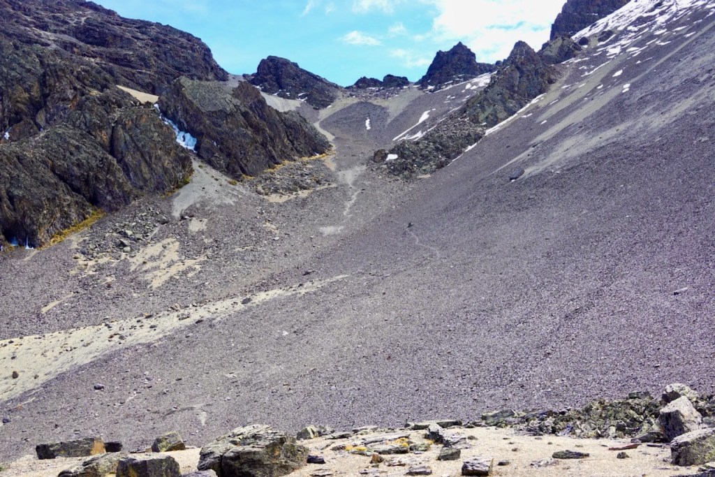
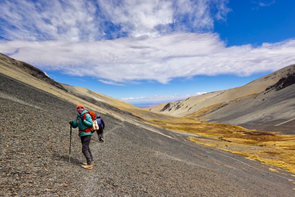
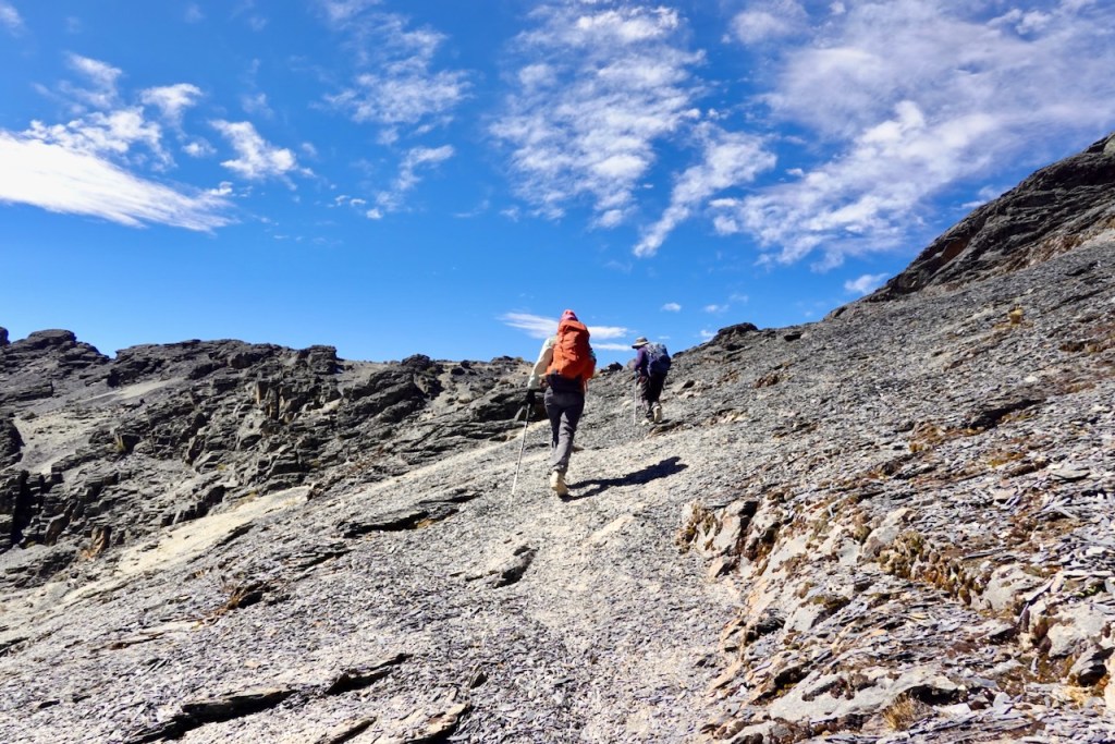
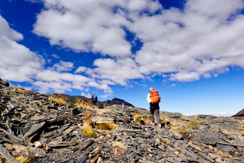
It was a long way up to the first pass, along steep scree slopes, but our effort was once again rewarded with spectacular views of snow-covered peaks.
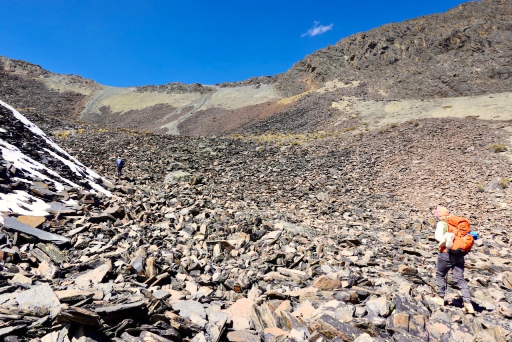
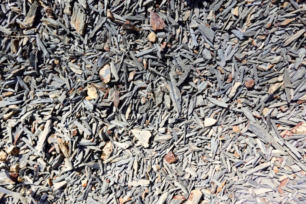
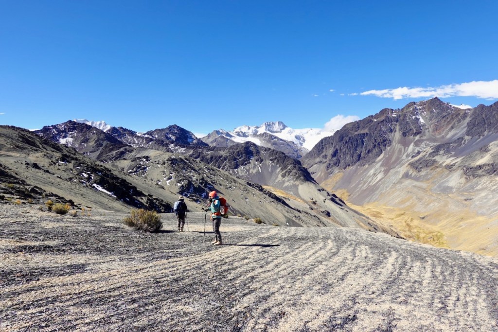
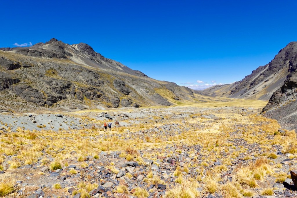
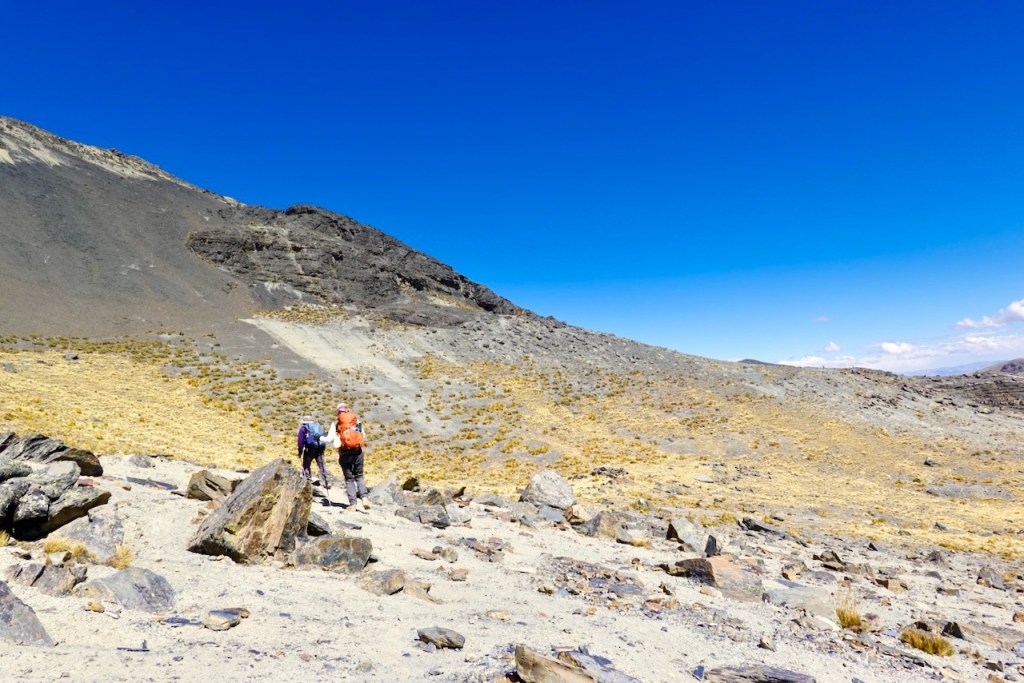
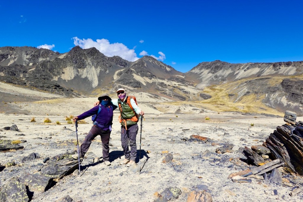
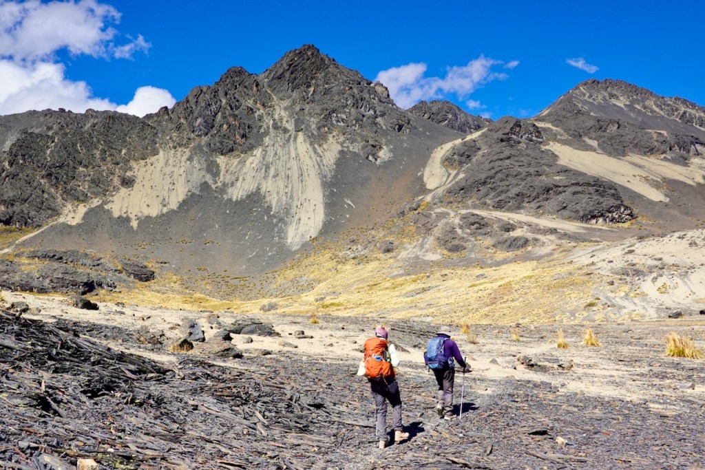
By the way, the scree in the Cordillera Real has a very interesting shape: it consists almost entirely of long, narrow, rod-like fragments.
We took our time and had an extensive lunch at the top of the first pass, at 5,035 meters, so that we could enjoy the views.
Ismael, our cook, decided to continue ahead of us so that he could arrive at camp before us and do some chores, such as starting to prepare the food and washing clothes. This was not unusual, but this time he got lost, and we would not see him again until the end of the following day. This caused quite a bit of panic, but it turned out all right in the end.
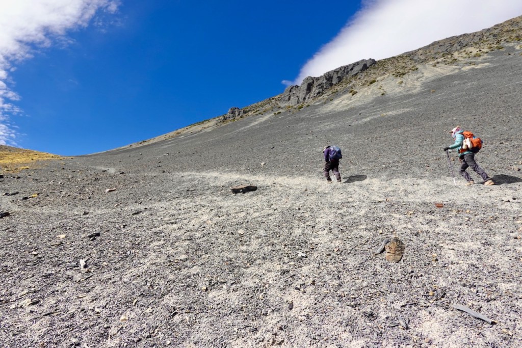
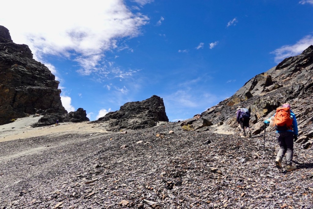
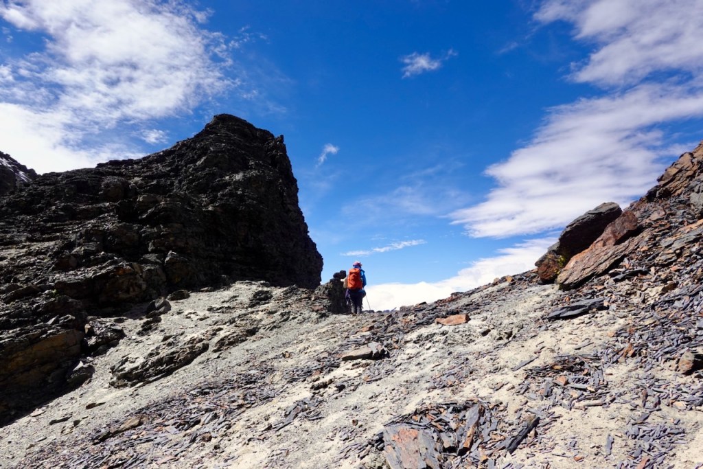
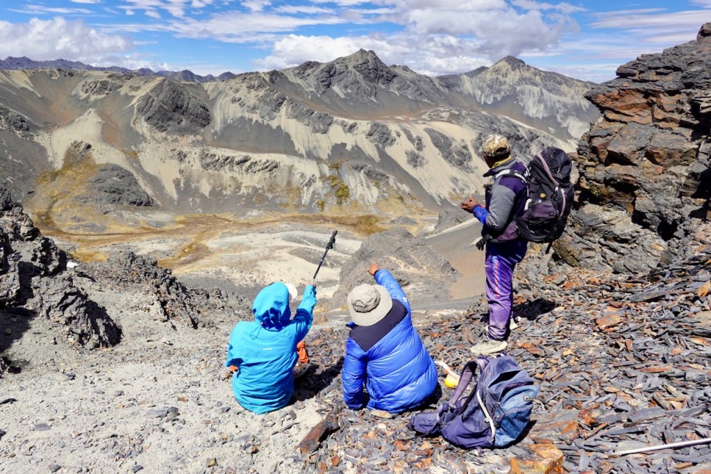
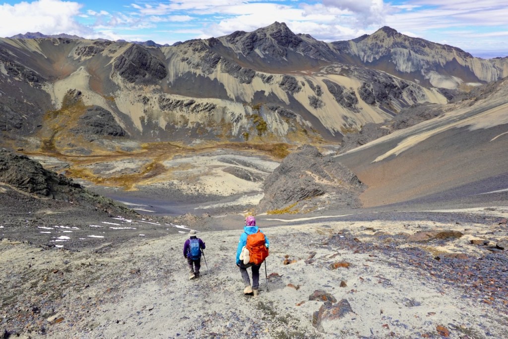
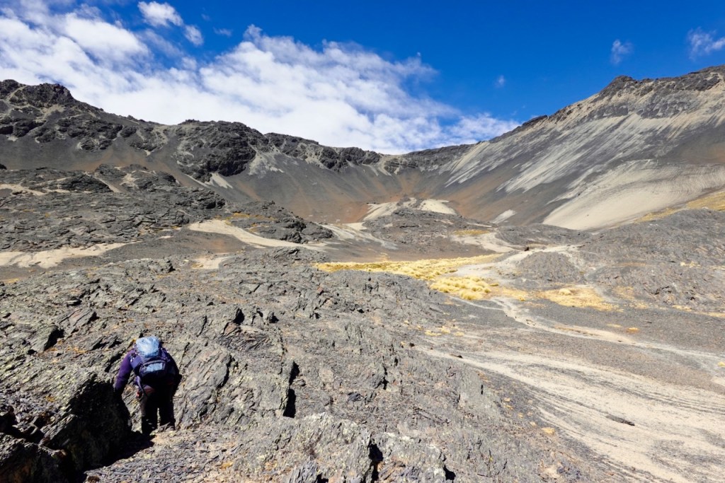
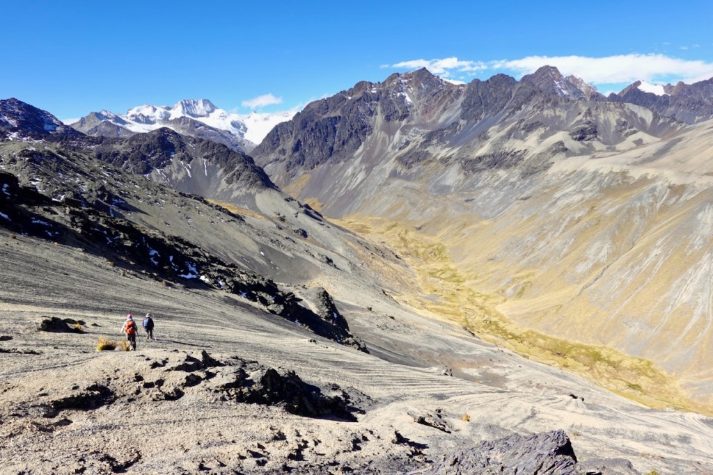
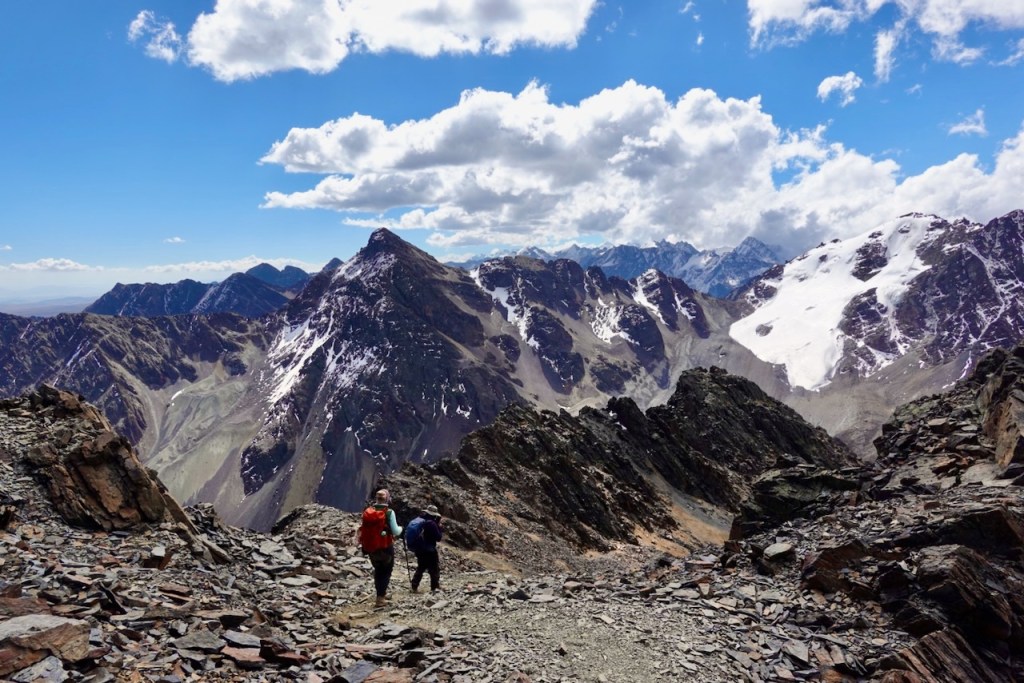
From the first pass, we descended a very steep scree slope into the next valley. The slope was so steep that we had to use “slide steps.” This was not difficult, but it did require some confidence. Note that this pass was a variation of the normal route; the normal route used an easier pass a little farther to the southwest.
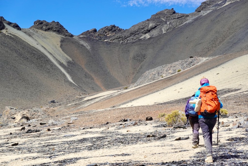
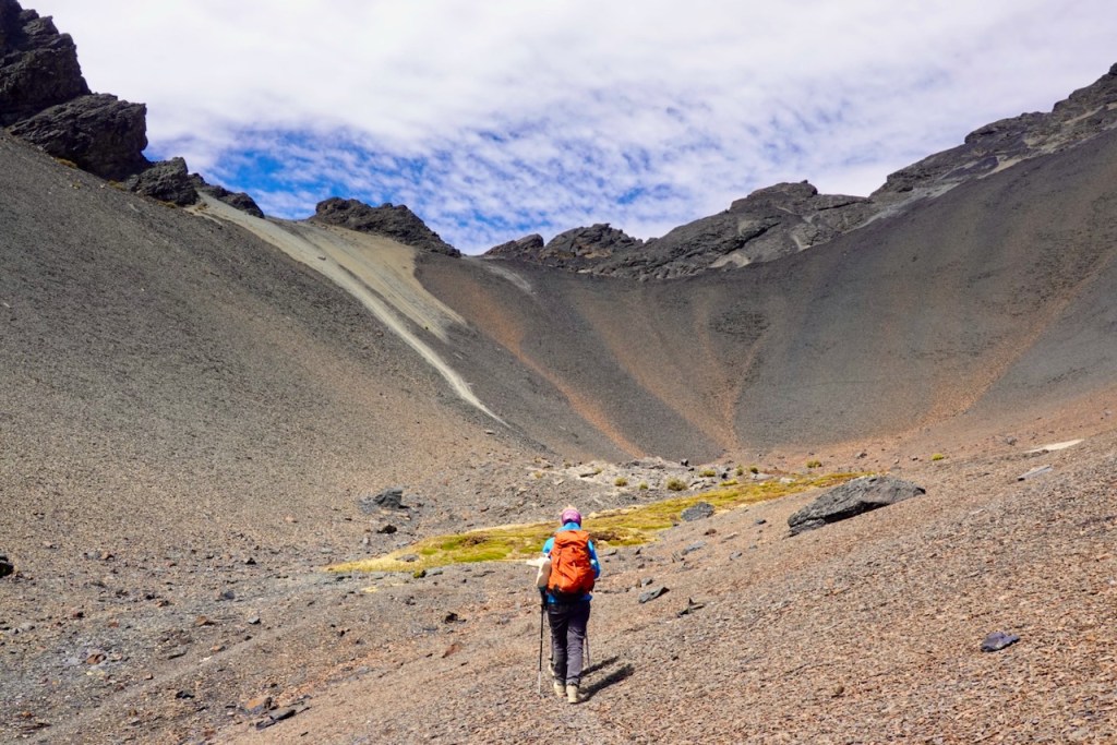
The ascent to the second pass was quite similar to, and equally spectacular as, the ascent to the first: another diagonal traverse up scree slopes, amazing views from the pass at 5,039 meters, and another steep descent across scree into the next valley.
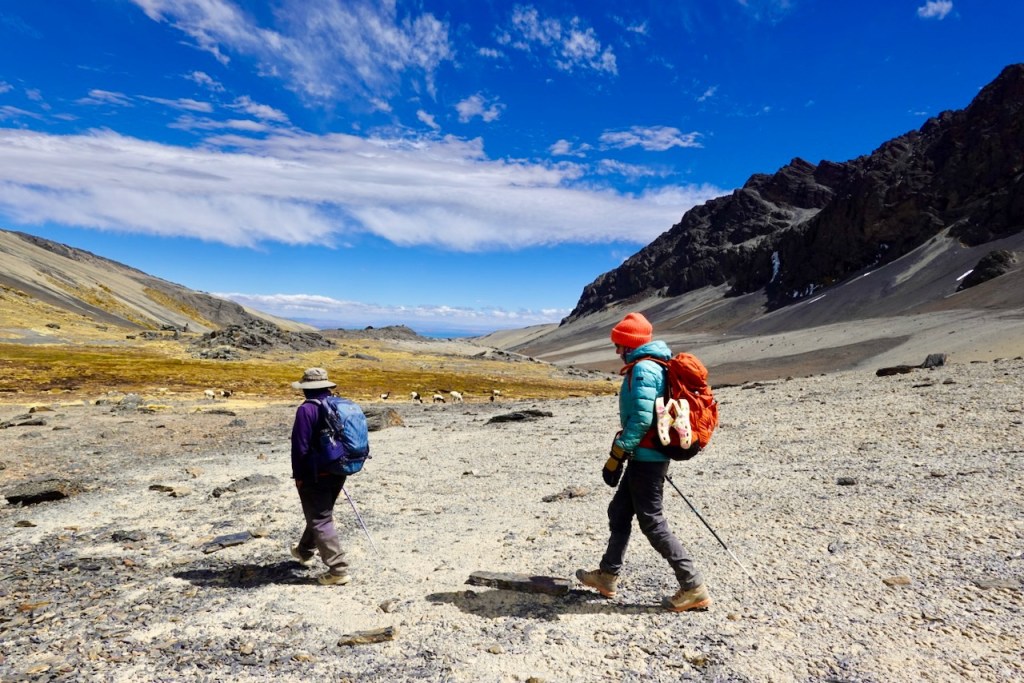
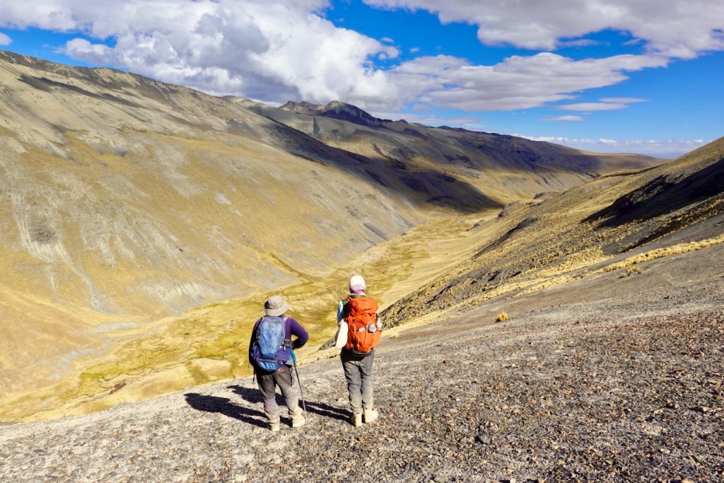
Once we reached the bottom of the second and final valley, we followed it in a southerly direction. The valley was green and sometimes marshy, but we avoided wet feet by sticking to the left side, close to the mountain slope.
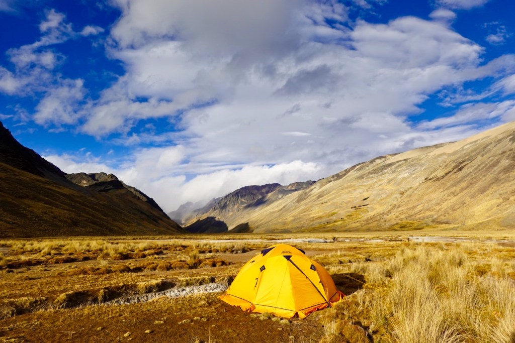
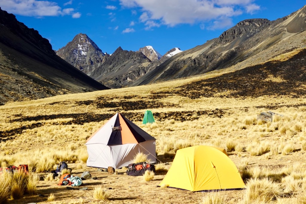
We did not camp at the bottom of the valley. Because it was wet and received little sunlight, Celso preferred to camp in a little hanging valley about 200 meters higher up, so we ended the day with a little kick-in-the-ass ascent to the campsite. The upside of the extra effort was that the view from the campsite was quite something.
Distance 13 km, ascent 1100 meters, descent 900 meters
First pass: elevation: 5035, latitude -16.060778, longitude -68.410791
Second pass: elevation: 5039, latitude -16.077031, longitude -68.405835
Campsite: elevation 4625, latitude -16.096398, longitude -68.394420
Day 12 (12 August 2026): Base of Warawarani Valley – Laguna Khota
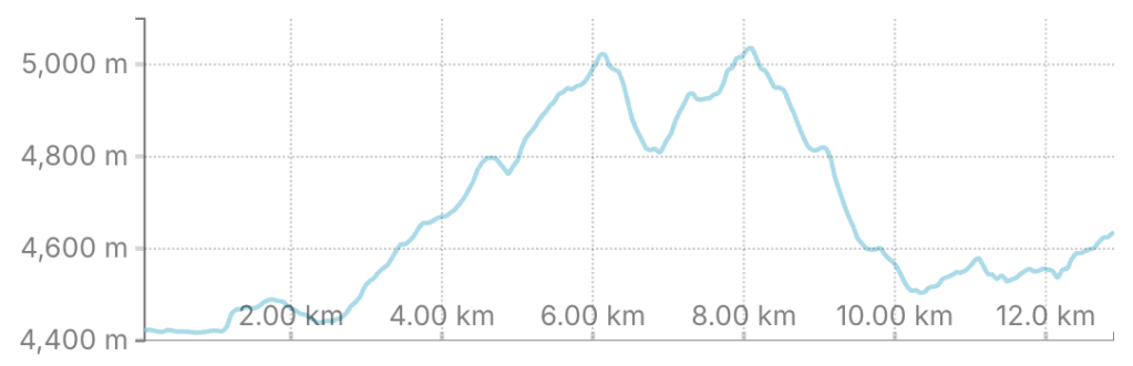
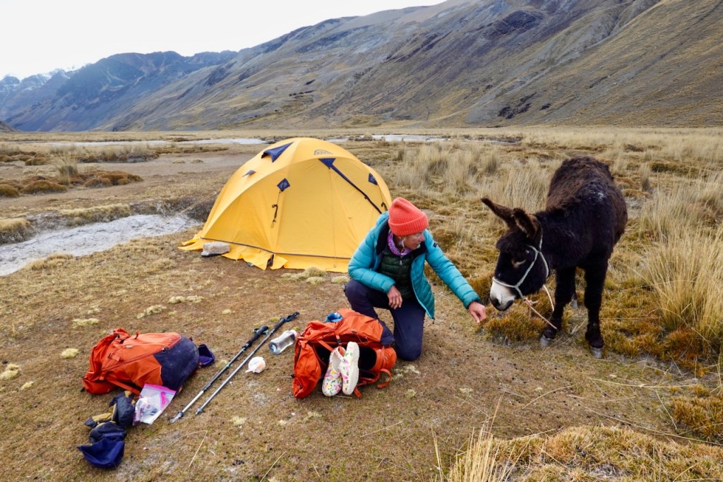
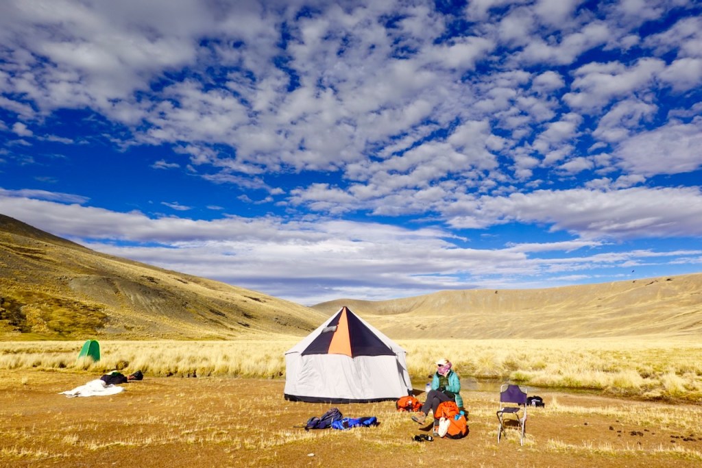
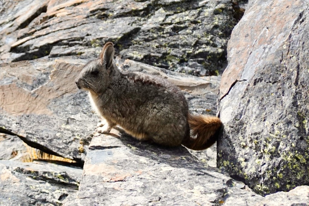
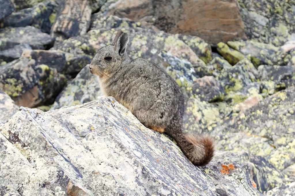
I mentioned that our campsite was in a hanging valley, about 200 meters above the main valley. We started the day by heading up this valley in a north-easterly direction. Along the way, we saw some viscachas, animals that look like gray rabbits with long, curly tails. We would see more of them during the remainder of the trek.
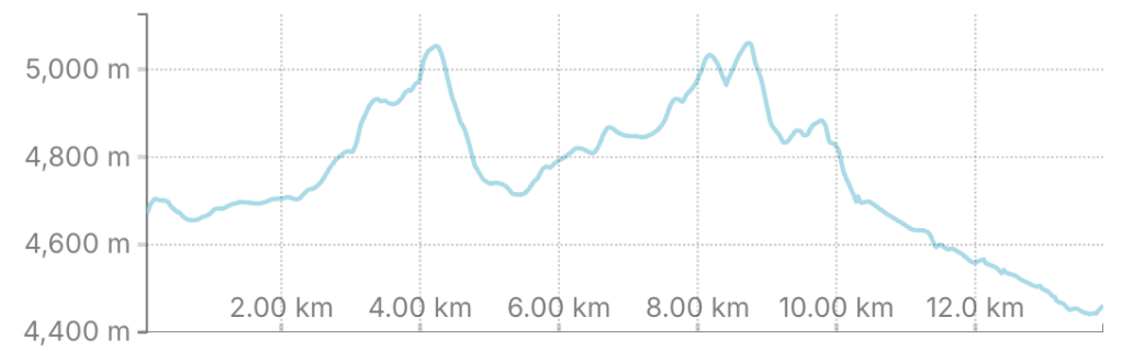
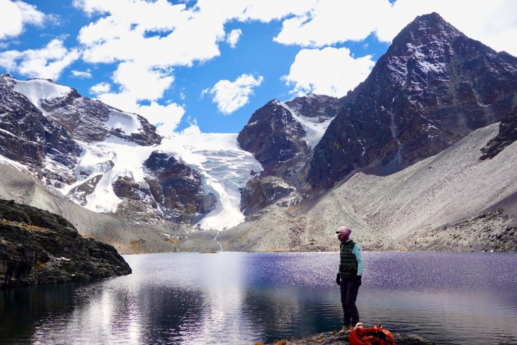
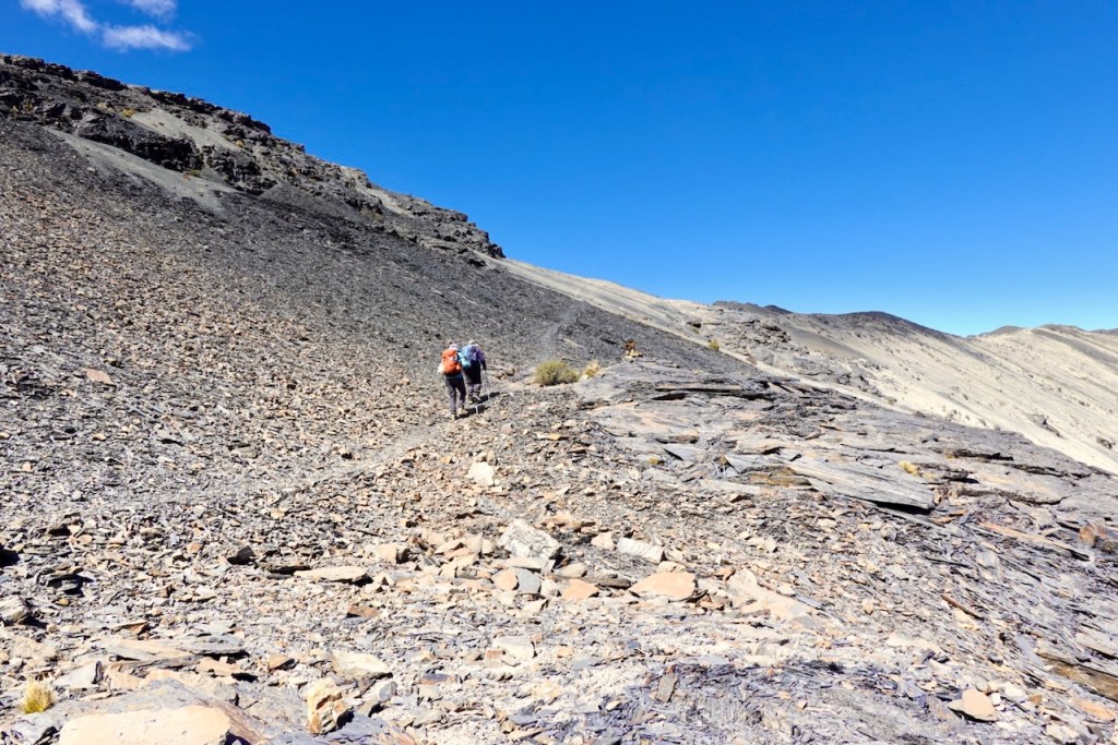
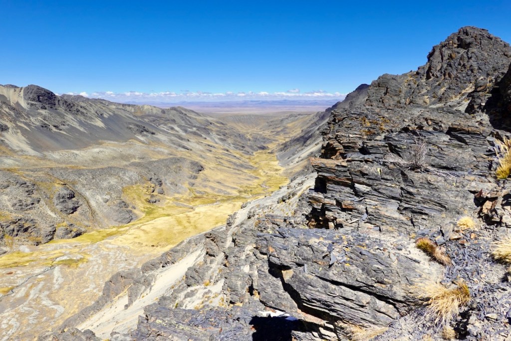
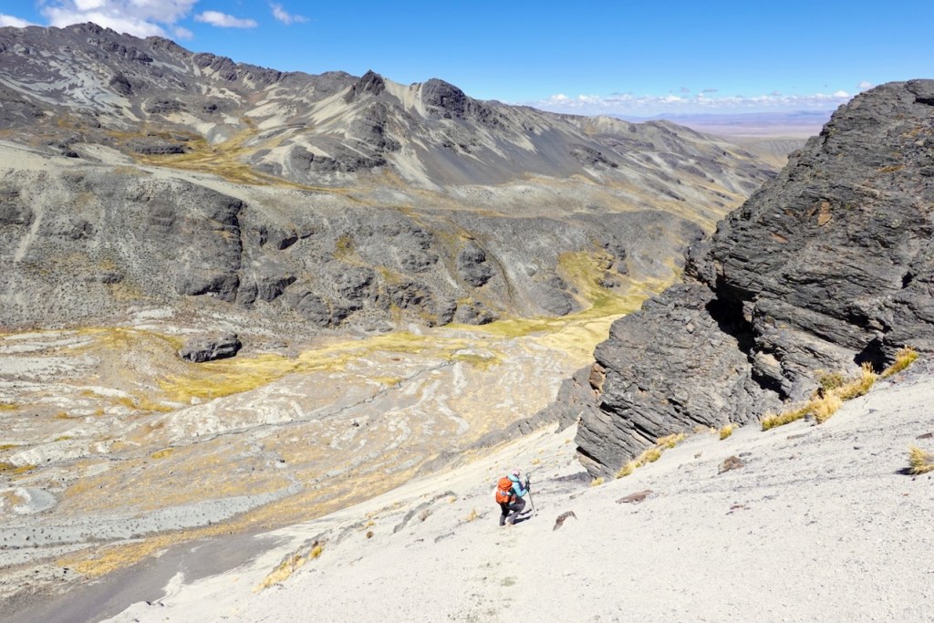
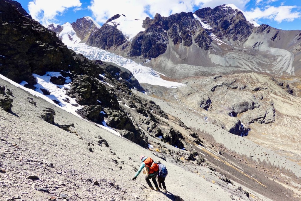
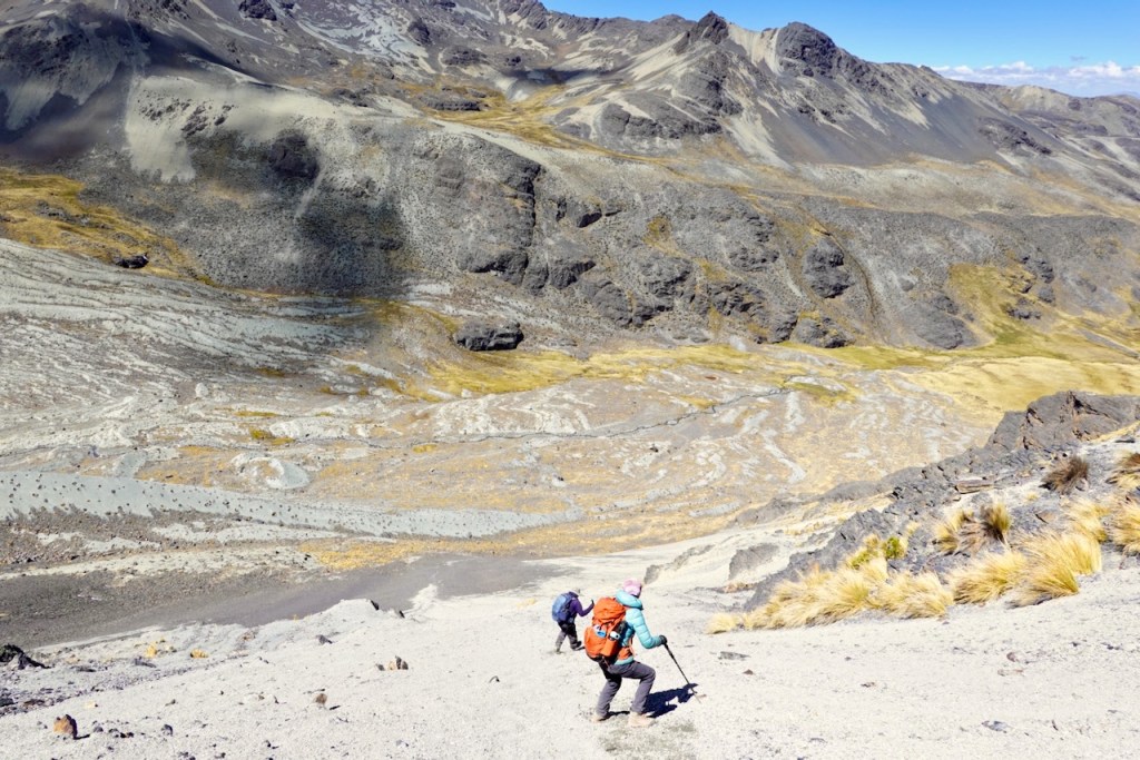
The hanging valley ended at Laguna Warawarani, a glacial lake formed by a glacier tumbling down from Cerro Warawarani, which rose directly behind it. After spending some time enjoying the lagoon, we took a sharp right and headed steeply south-east toward the first pass at 5,067 meters. The final few hundred meters to the pass involved a diagonal traverse across a particularly steep scree slope, with spectacular views of the wide-open valley below on our right.
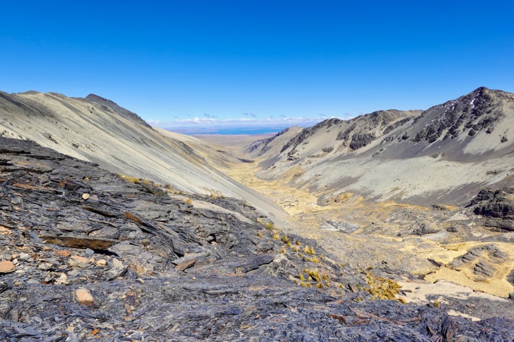
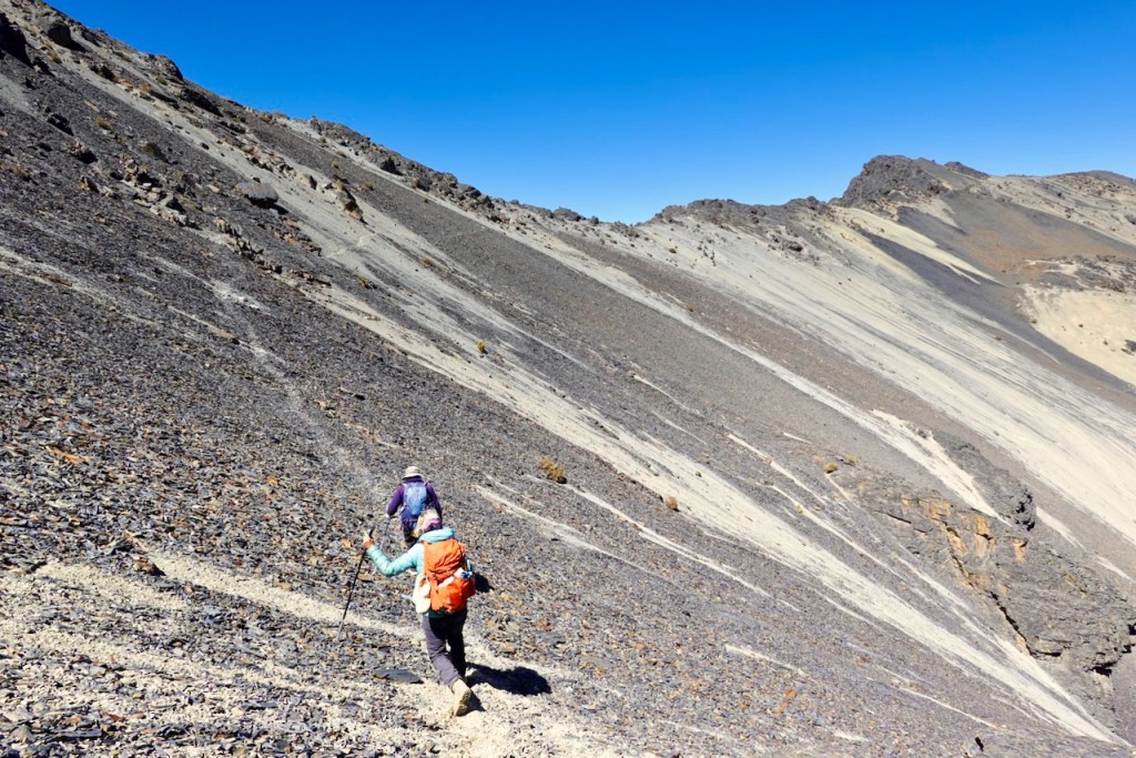
From the top of the first pass, we had fantastic views of the glacier-covered mountains on the other side. The descent from this pass was even steeper than the one the previous day and was probably the steepest descent of the entire trek. Once again, however, the soft scree made it surprisingly easy, as we could “slip-step” our way down. It would have been a different story if the slope had been covered in snow or frozen solid.
We made it to the bottom of the valley without any issues, crossed it, and started another long diagonal traverse up the scree slopes on the other side. We reached a plateau, first covered in scree and later turning green, which we crossed before beginning the final steep ascent across more scree to the second pass at 4,987 meters.
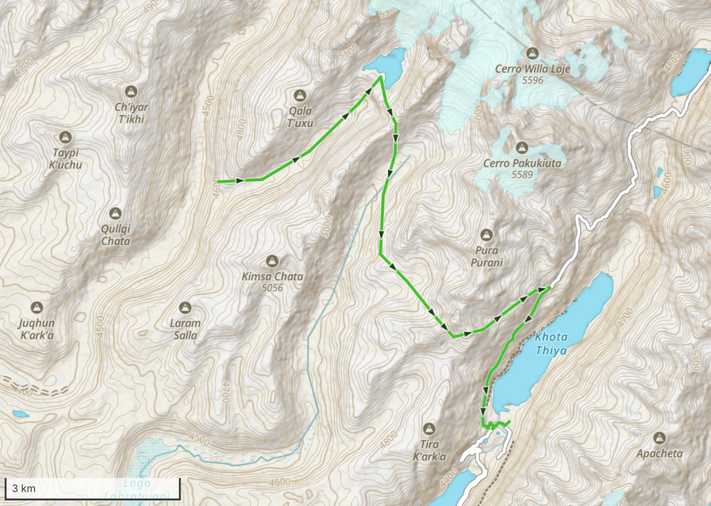
From the second pass, we had an easy, gentle descent until the huge Lake Khota Thiya came into view below. It was too steep to descend directly to the lake, so instead we followed a trail north-east, parallel to the shoreline, making a gradual diagonal descent until we were low enough to make the final descent to the dirt road next to the lake. The last section was another steep scree slope, which we negotiated by slip-stepping down.
Once we reached the dirt road, we took a sharp right and followed it parallel to Lake Khota Thiya until we reached the dam, where the campsite was located. Celso had received word that our lost cook, Ismael, was at the campsite, so he went ahead to have a private word with him and figure out what had gone wrong.
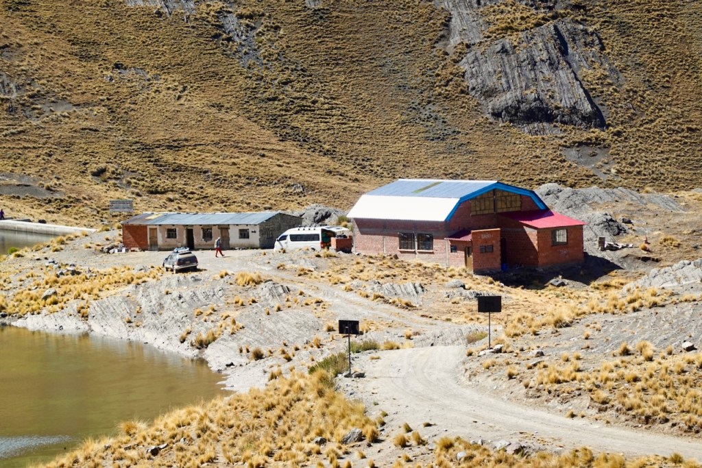
We reached the campsite a little later. Similar to day 9, when we had also camped next to a lake with a dam, the campsite was not exactly idyllic: there were buildings associated with the dam and a road nearby.
Distance 14 km, ascent 1000 meters, descent 1180 meters
Laguna: elevation 4921, latitude -16.078620, longitude -68.368026
First pass: elevation 5067, latitude -16.085090, longitude -68.366675
Second pass: elevation 4987, latitude -16.116246, longitude -68.359358
Campsite: elevation 4554, latitude -16.130795, longitude -68.348178
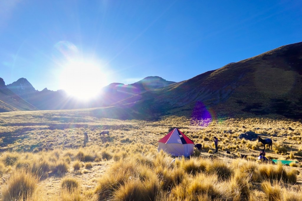
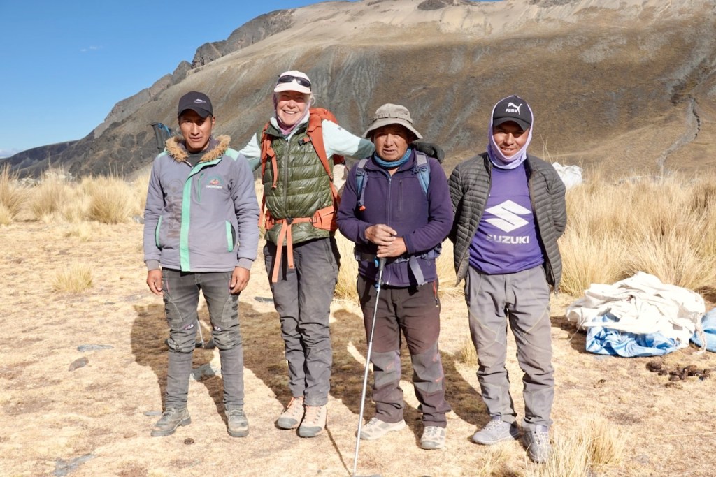
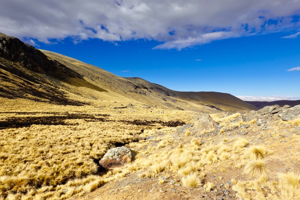
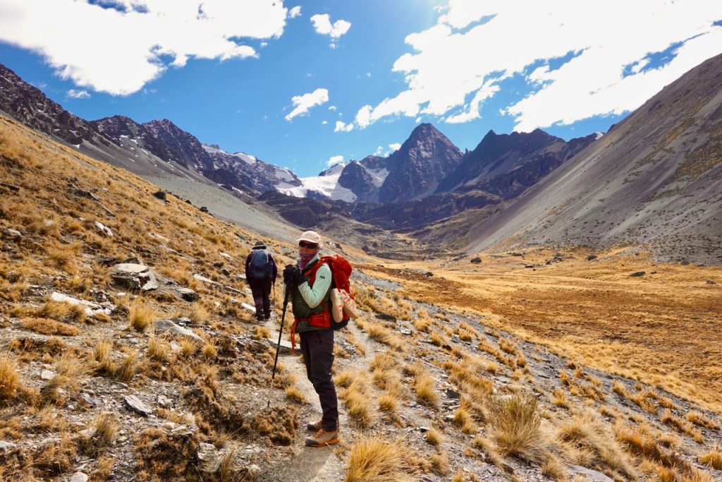
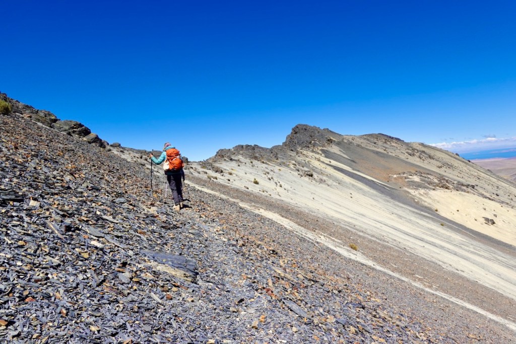
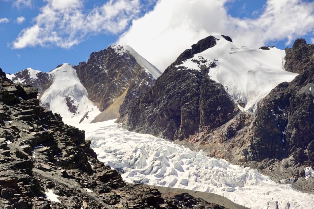
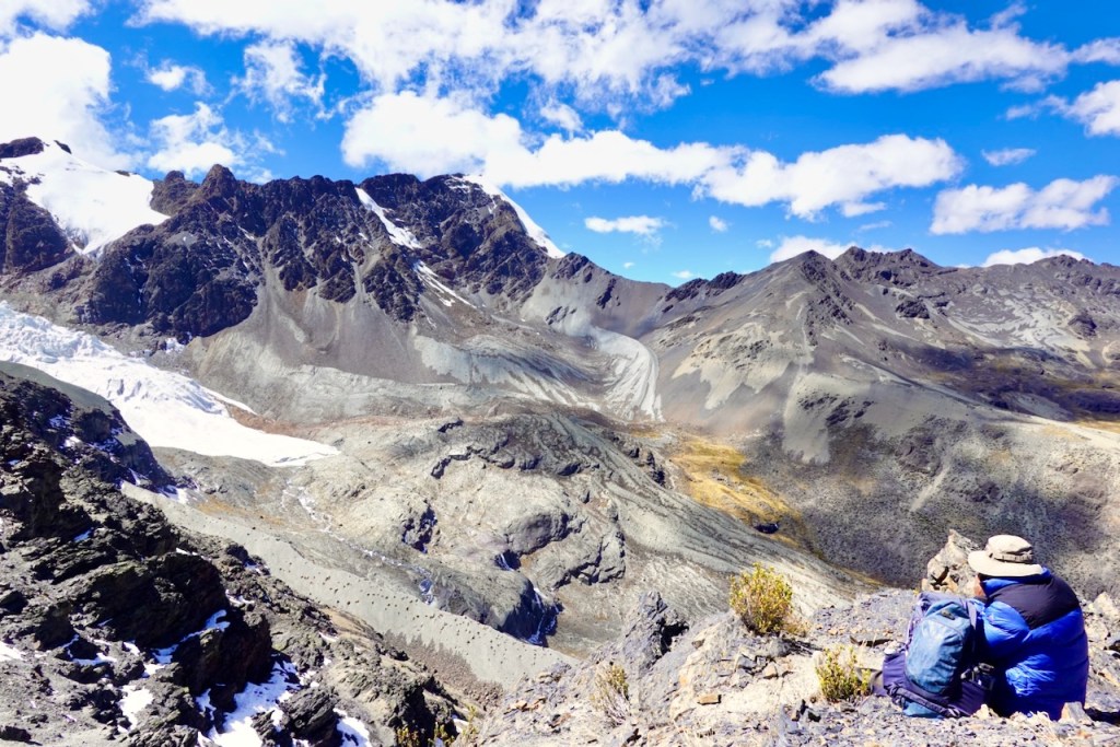
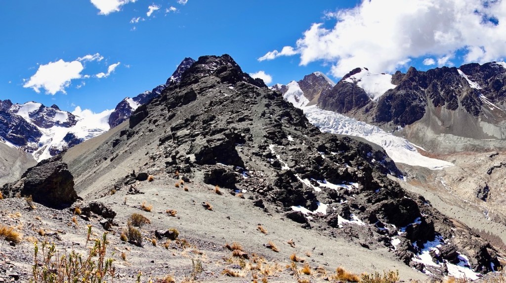
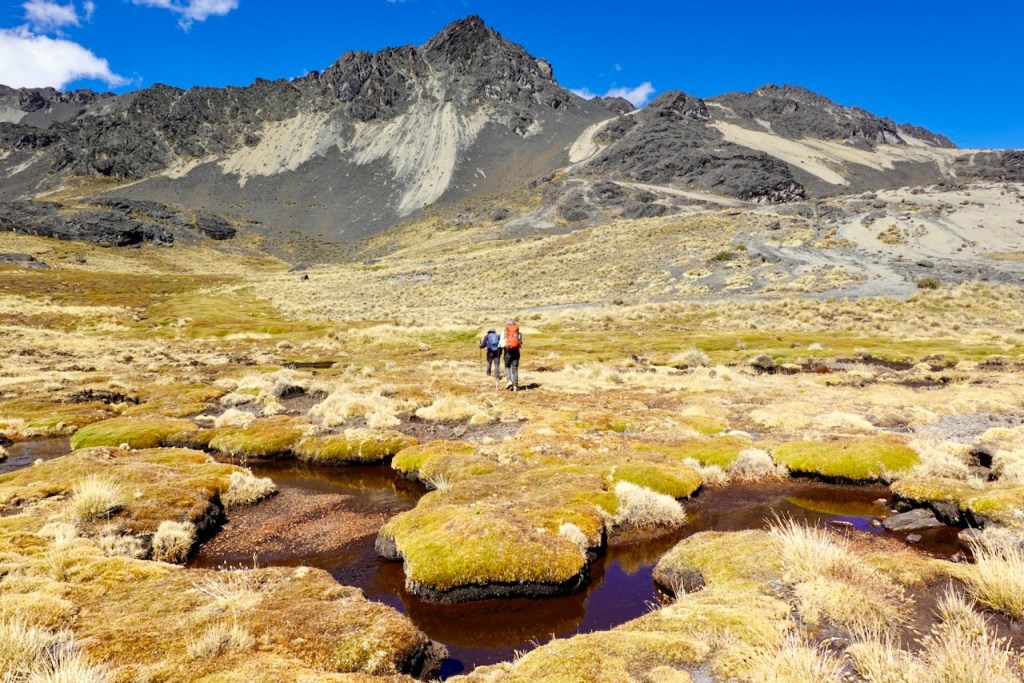
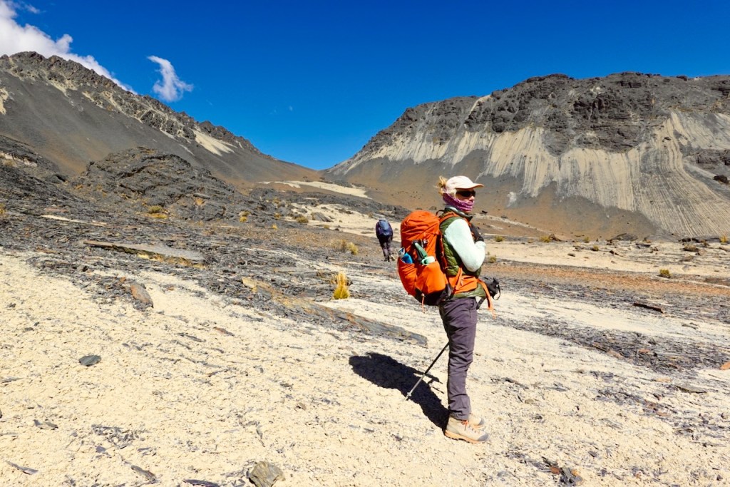
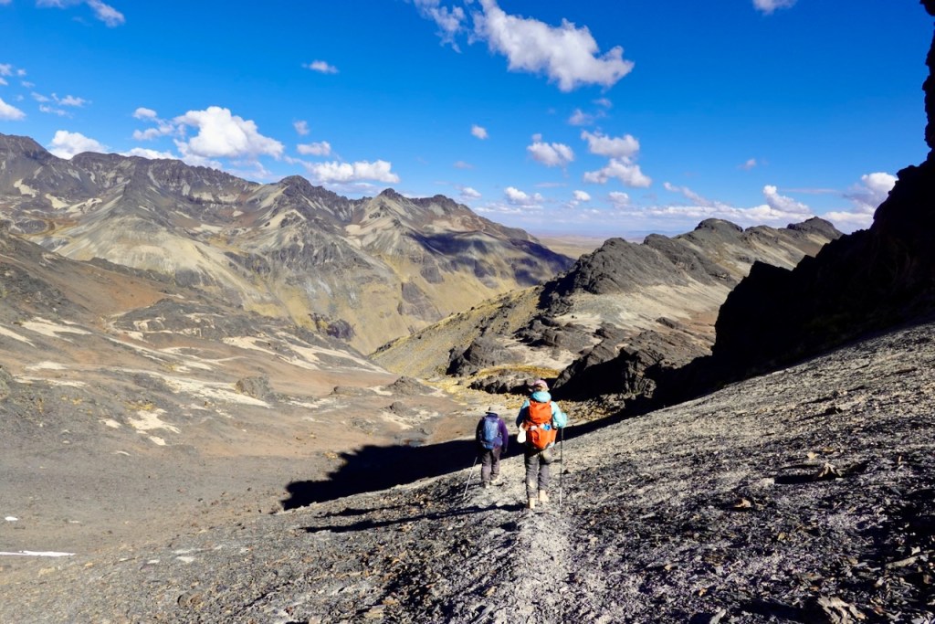
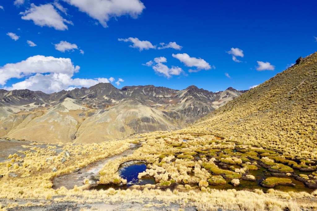
Day 13 (13 August 2026): Laguna Khota – Quebrador – Laguna Ajwañi – Road to Laguna Sistaña
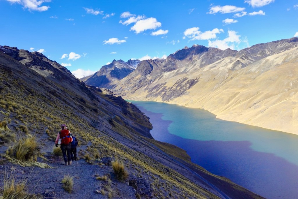
We continued our journey south, heading up the slopes parallel to Laguna Khota, the lake just south of Lake Khota Thiya. We then curved around the mountain and started heading east. On the other side, we could see a valley with a road far below. Instead of heading straight down and crossing the valley, we swung left (north-east) toward the head of the valley, making a much more gradual descent into it.
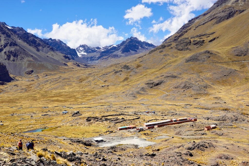
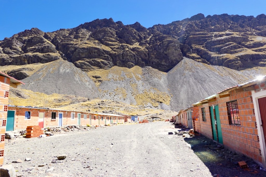
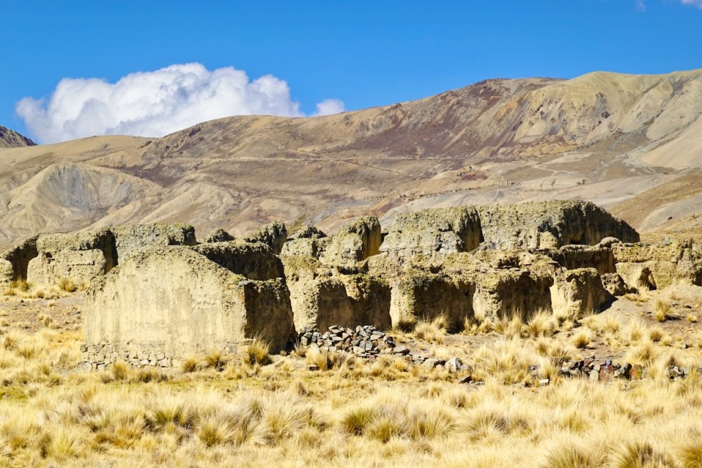
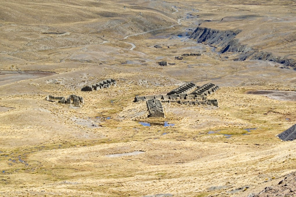
This brought us to an abandoned mining village consisting of nothing more than two parallel rows of houses. It must have been abandoned relatively recently, as the houses were still in good shape. Here, we turned around and headed south-east, climbing the slopes on the other side of the valley.
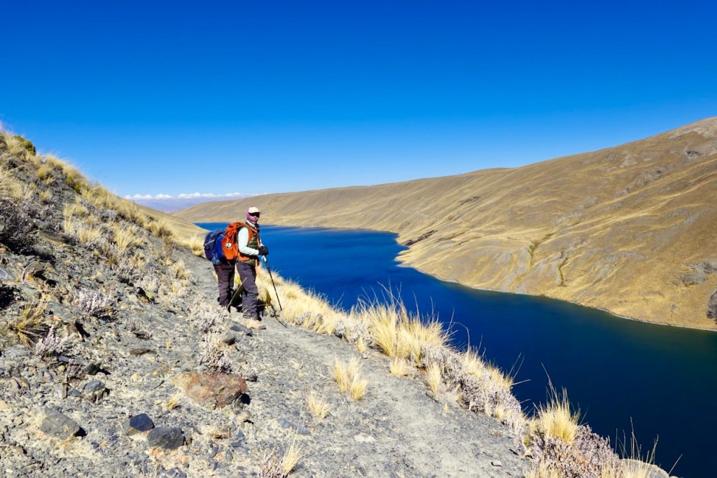
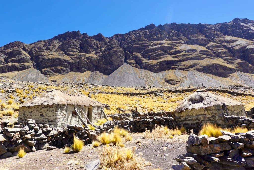
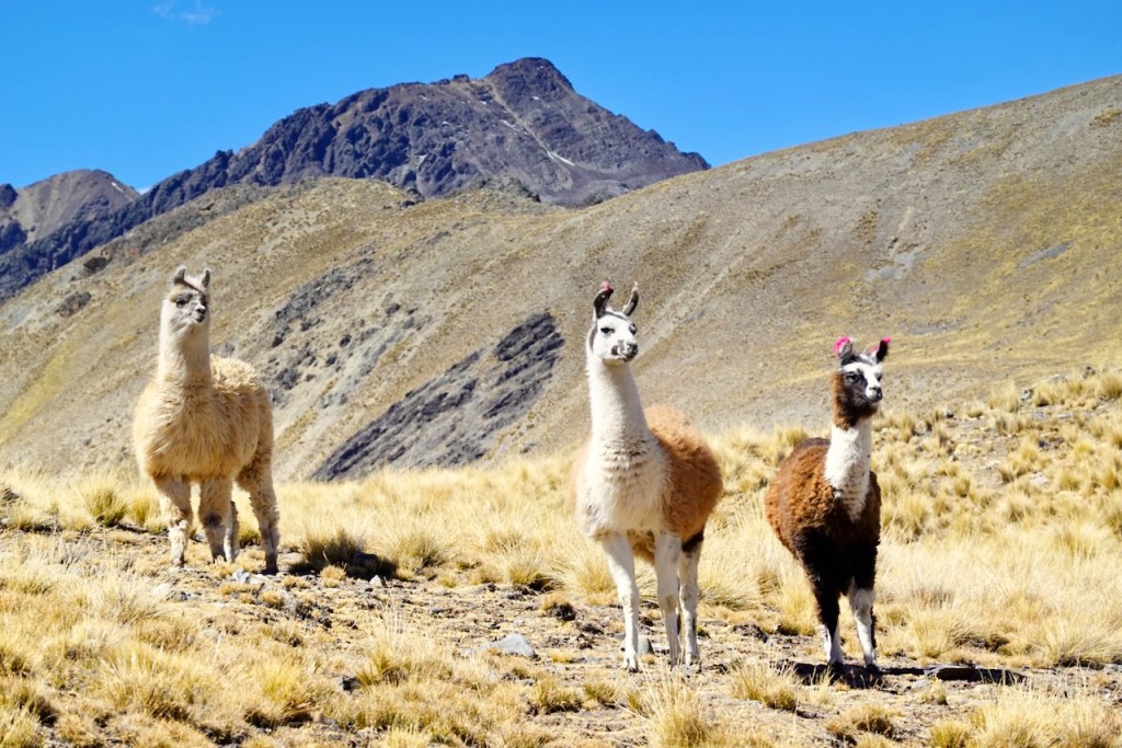
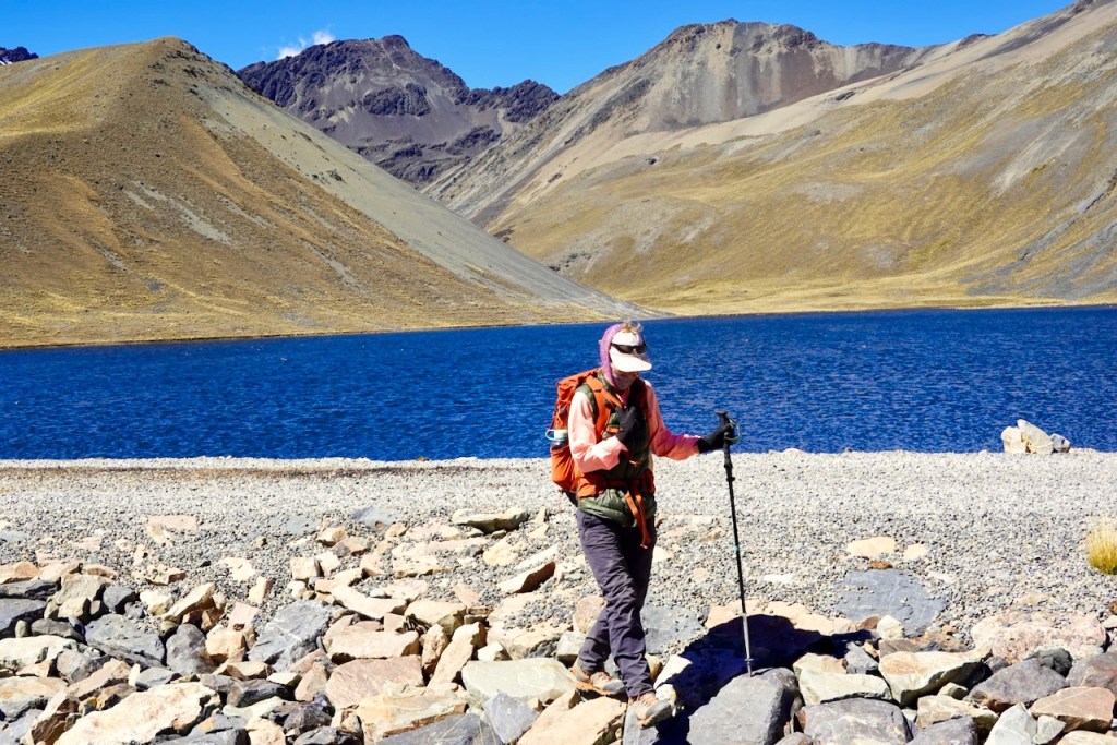
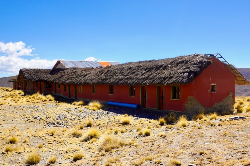
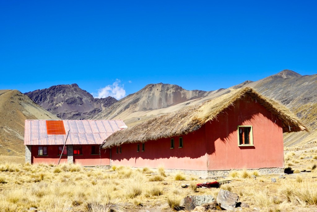
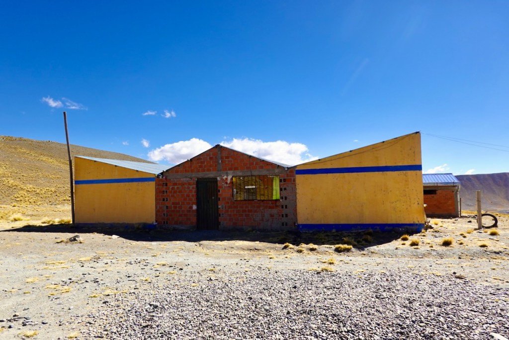
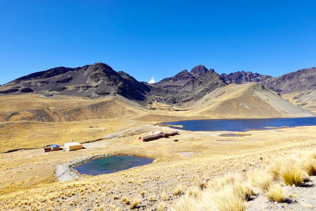
After passing some cute herds of llamas, we reached a plateau with a lake, Laguna Ajwañi, and the first two refugios we had seen on the trek.
One of the refugios was abandoned, with half of its roof collapsed. It looked like it had once been a rather fancy refugio, with rooms that had private bathrooms and a large dining room. Celso told us that it had originally been a community project. The other refugio was still in operation, but it was much smaller and more basic. We had a quick lunch on the shore of the lagoon and continued along a scenic ridge. We had the option of making a small detour to the top of a 5,000-meter peak, but we didn’t feel like it.
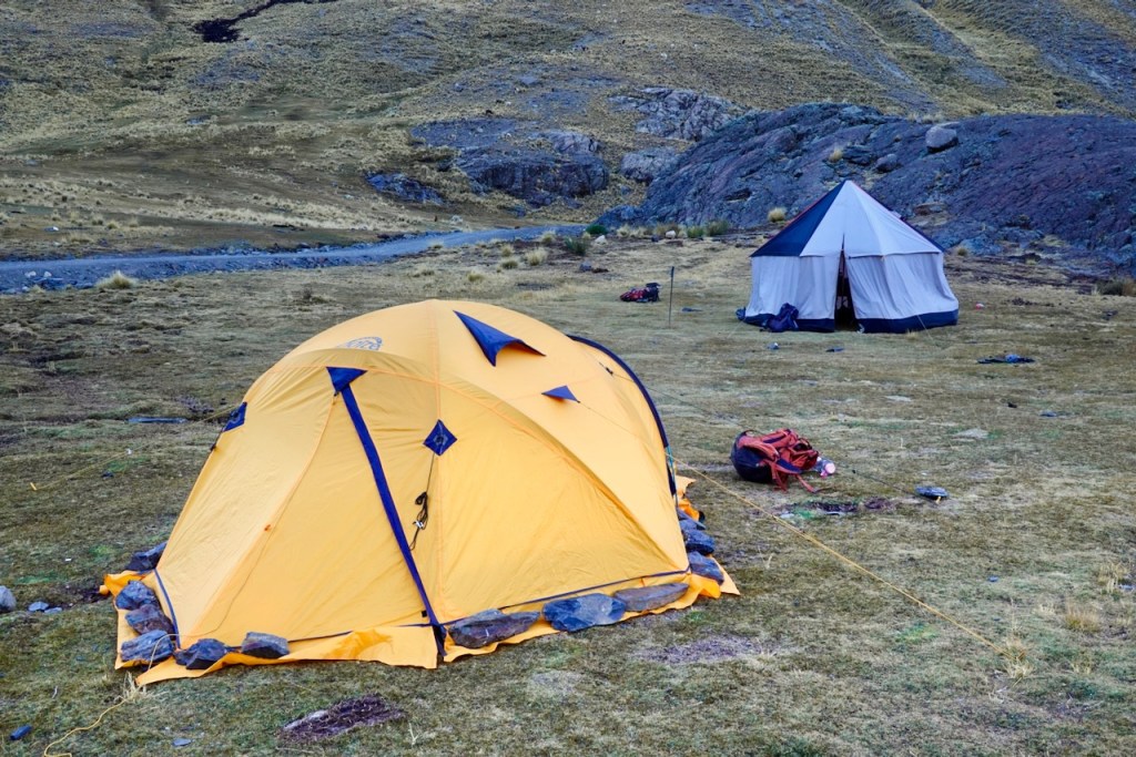
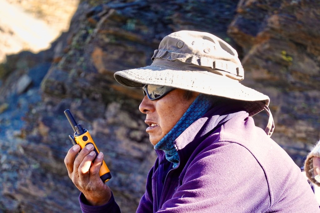
Celso received a message over his emergency radio from the driver of the car that was supposed to be waiting for us at our intended campsite next to Laguna Sistana. It turned out that local residents had blocked the dirt road to Laguna Sistana because they were having problems with people stealing trout from the lake. This prevented our supply car from reaching the lake. Instead, we had to walk south along the access road for about two kilometers to the spot where the road had been blocked with a chain, and we set up camp there instead. Luckily, the camping spot turned out to be very scenic as well.
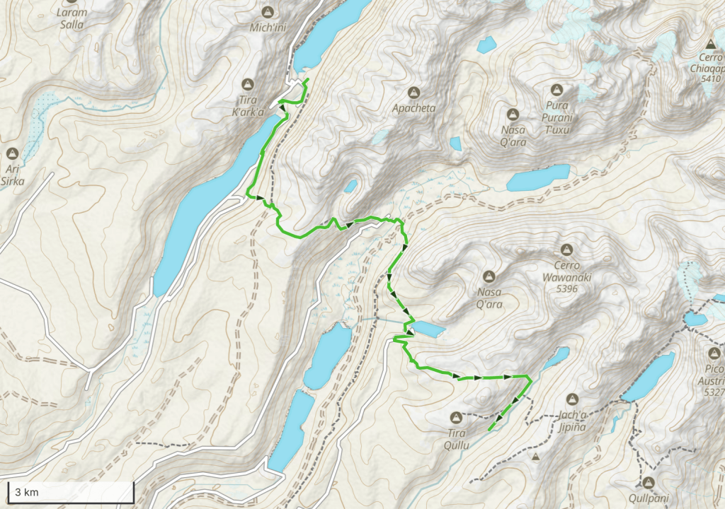
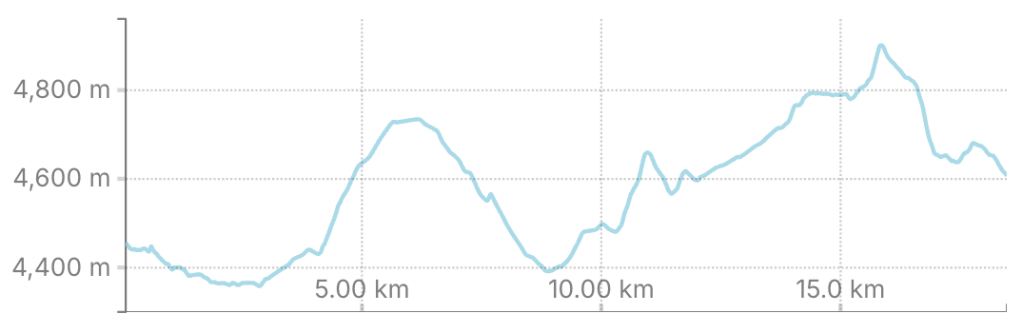
Distance 19 km, ascent 1000 meters, descent 820 meters
Refugios: elevation 4633, latitude -16.183386, longitude -68.324490
Campsite: elevation 4595, latitude -16.205445, longitude -68.307495
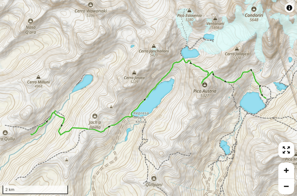
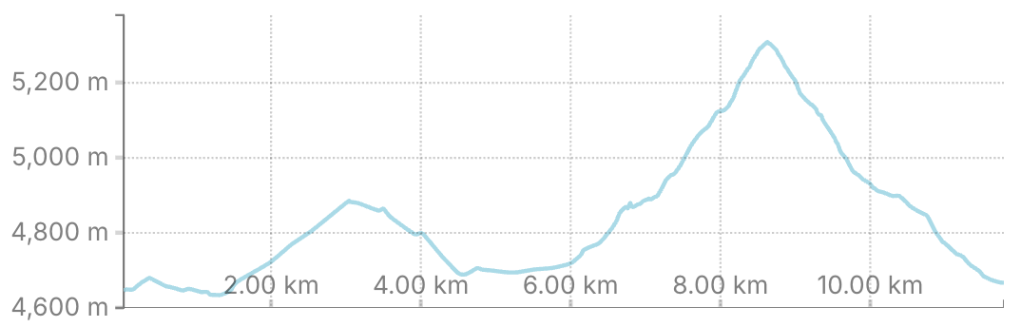
Day 14 (14 August 2026): Road to Laguna Sistaña – Sistaña – Laguna Juri Khota – Laguna Eslovania – Pico de Austria – Paso Chakoti – Laguna Chiar Khota
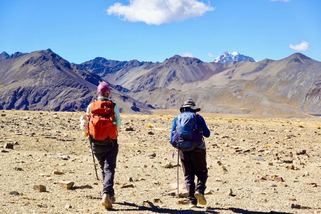
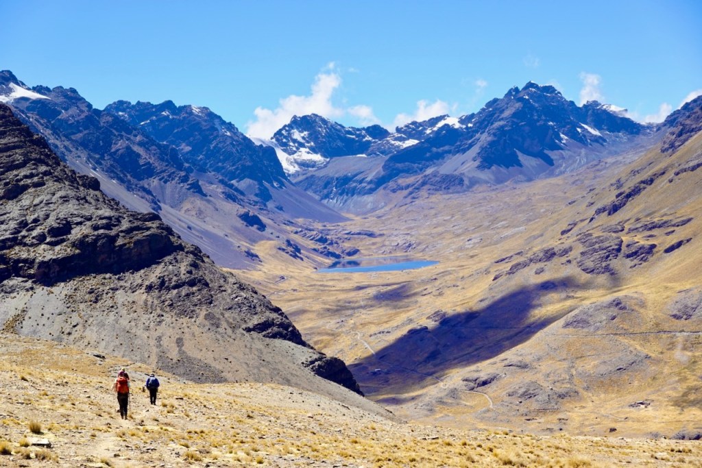
Day 14 was another highlight, as it brought us to the highest point of the trek: Pico de Austria.
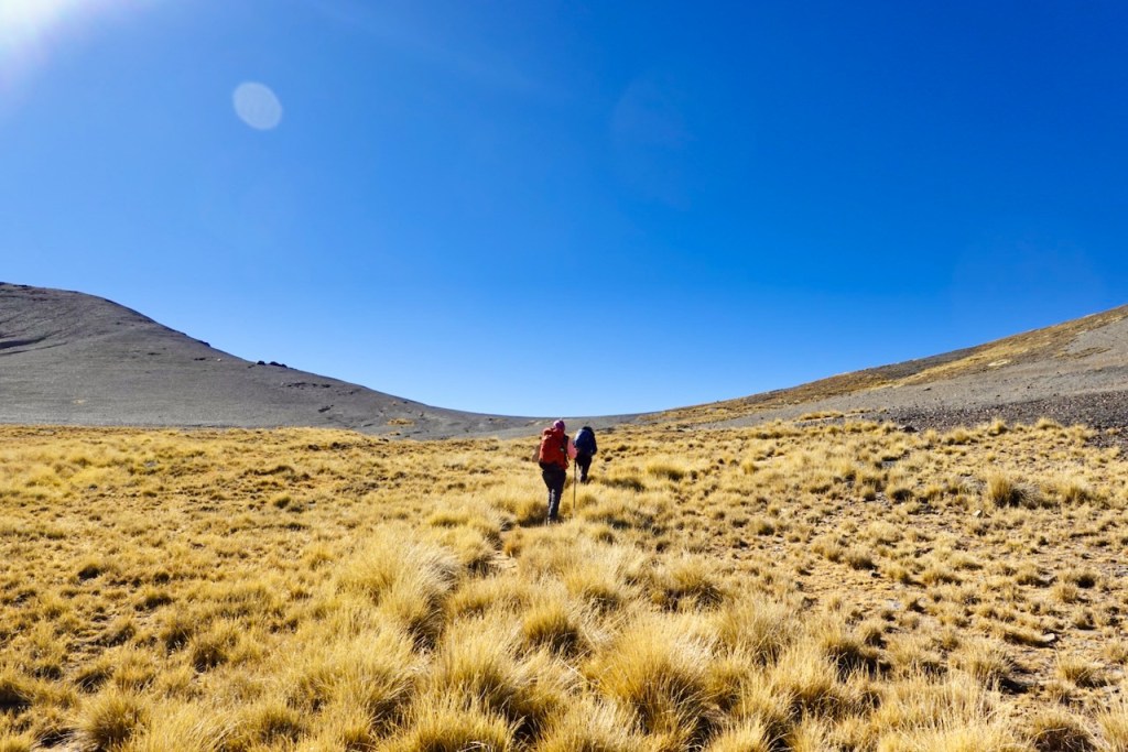
We started out by crossing the valley and making a fairly easy and straightforward ascent to the first pass at 4,890 meters. From the pass, we made another easy descent northeast to Laguna Juri Khota, down in the next valley.
At this point, we were back in civilization: the first refugio appeared on the south side of Laguna Juri Khota. There would be several more further along today’s trail. This is because Pico de Austria is a very popular day trip from La Paz, with tens of tourists making the hike to the top every day.
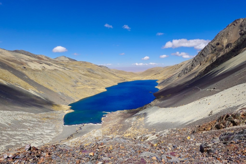
We hiked past Laguna Juri Khota along the well-defined trail, crossing the scree slope on the west side of the lake. The trail continued up more scree and later through a rocky section to reach the very beautiful Laguna Eslovenia, named after the climbing peak Pico Eslovenia directly behind it. The lagoon was surrounded on all sides by spectacular snow-covered peaks. There was another popular trail to Laguna Ventanani on the other side of the lagoon, but we did not go there.
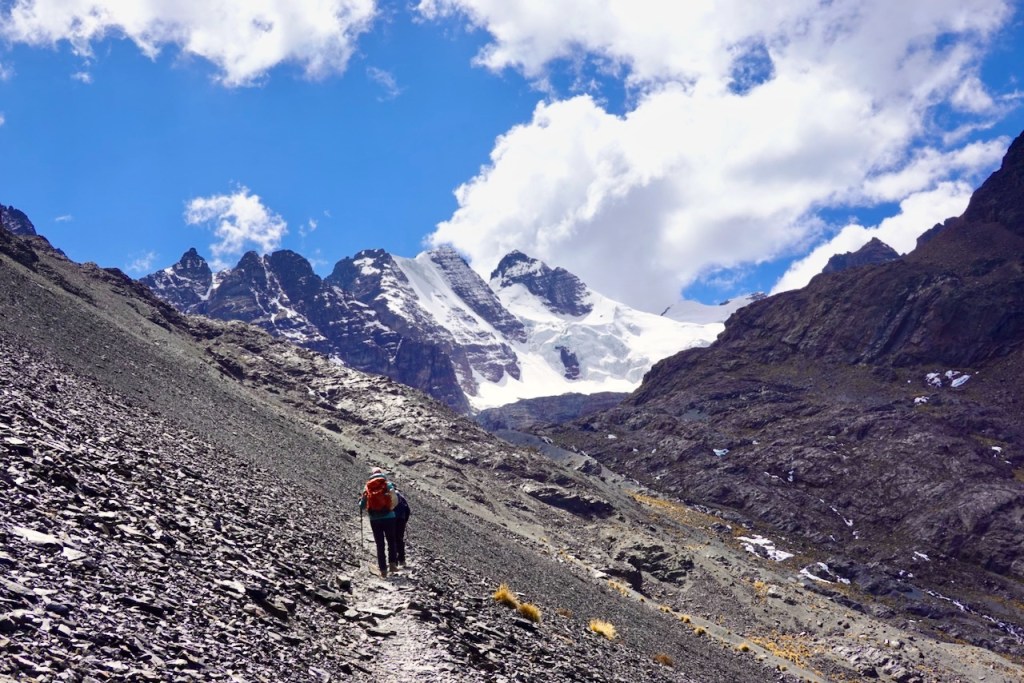
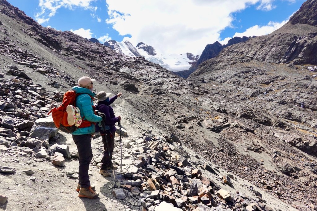
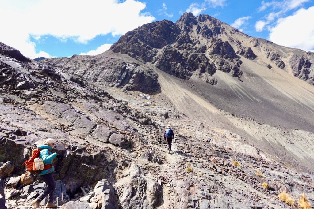
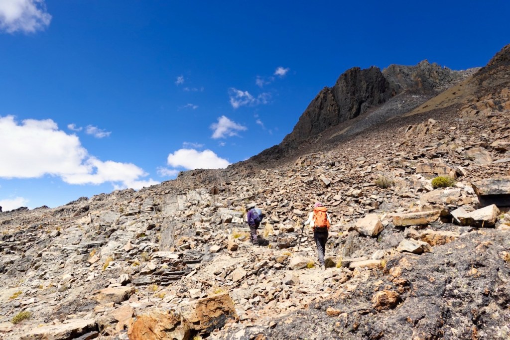
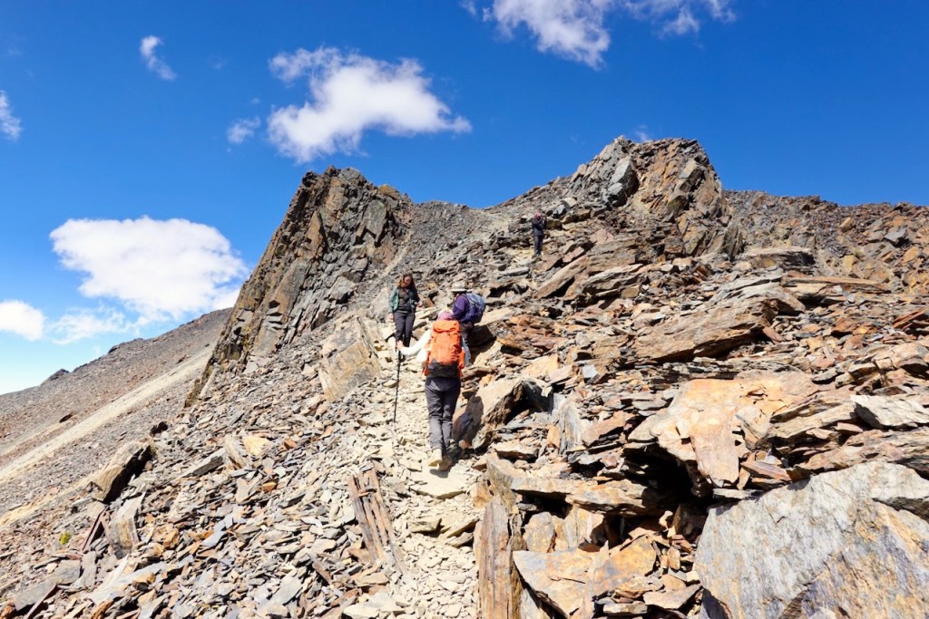
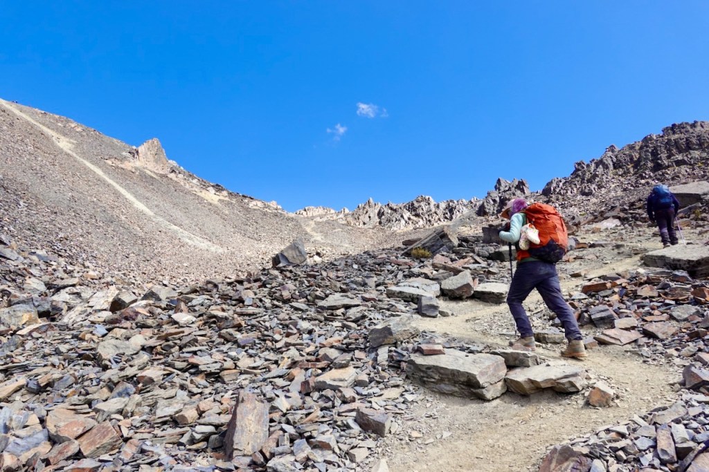
From Laguna Eslovenia, we took a sharp right and headed east toward Pico de Austria. From this angle, the ascent to Pico de Austria looks rather impossible, but don’t worry—the actual trail was very easy. We headed up a rocky section, with a few very minor scrambles along the way. As we made our way higher, the views of Laguna Eslovenia below and the snow-capped peaks behind it became increasingly spectacular.
After about 250 meters of ascent, we reached the point where the trail to Pico de Austria splits off to the right (south-west). From there, we could see (with a sigh of relief) that the trail to the summit was actually very straightforward. Sure, it was hard work making the ascent in such thin air, but there were no technical challenges or exposure.
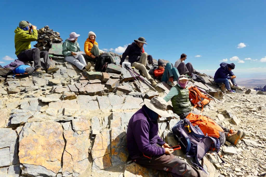
At the top of Pico de Austria, there were crowds of tourists, all day-trippers from La Paz. It was quite a shock for us after not seeing a single tourist for almost two weeks. One of them was puking her guts out because she was not acclimatized.
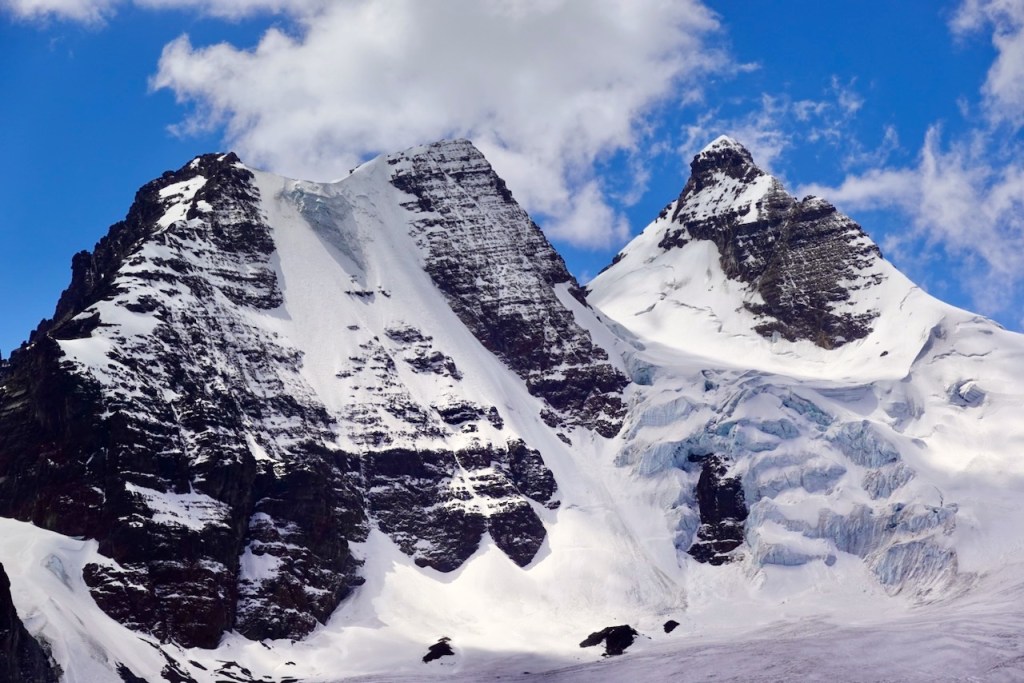
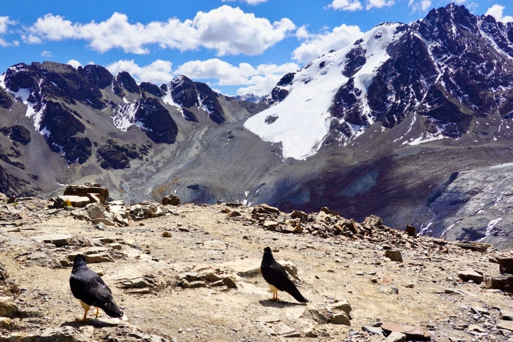
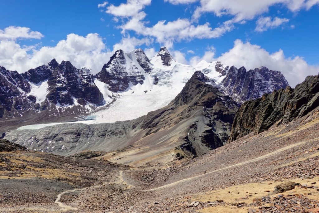
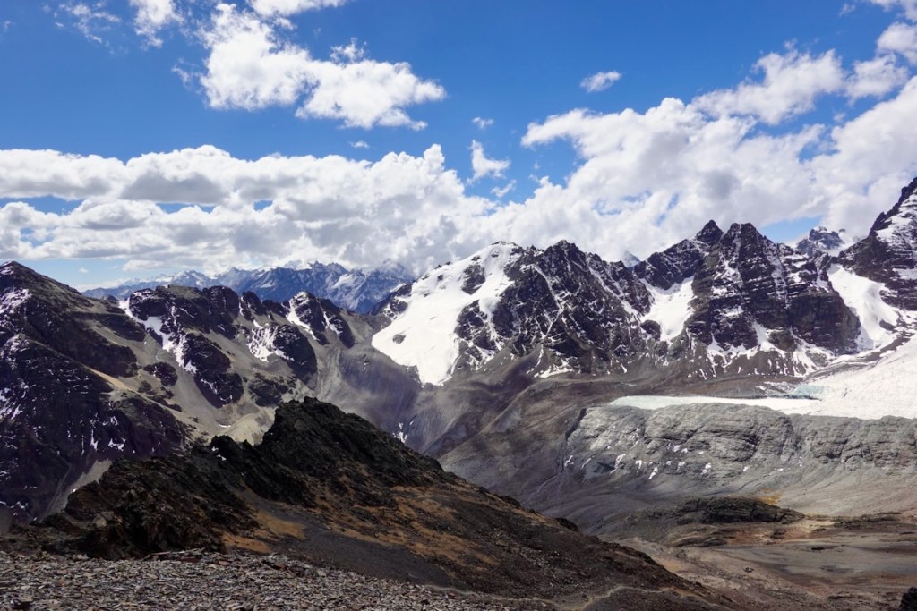
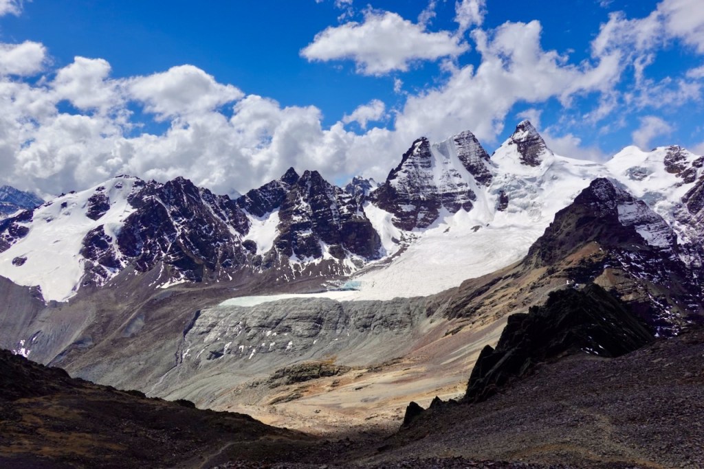
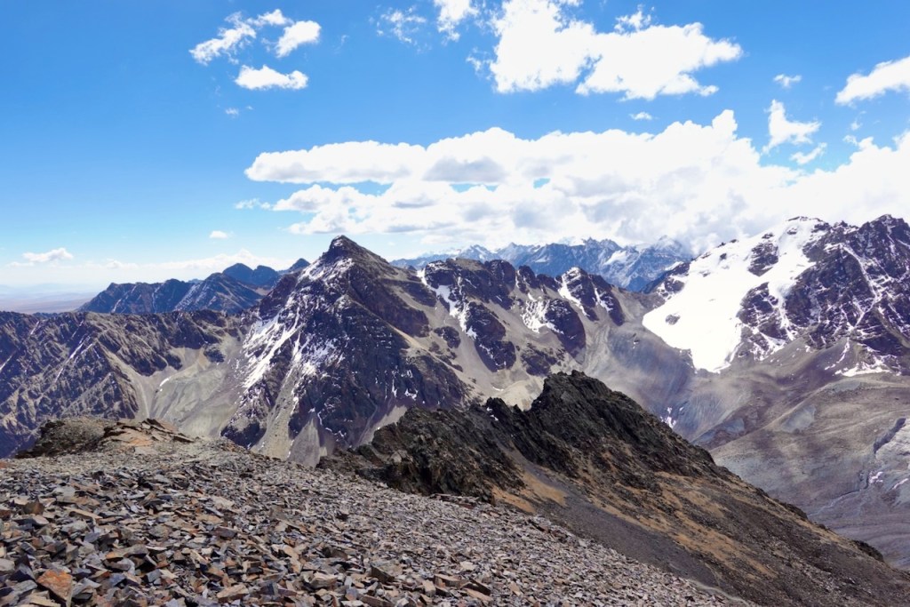
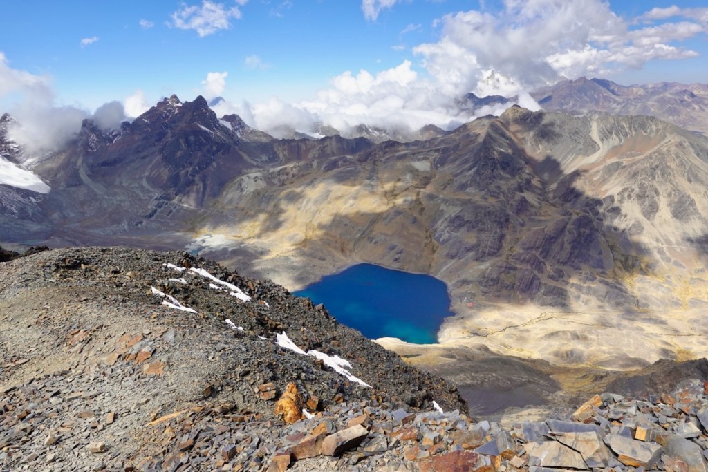
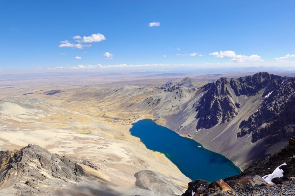
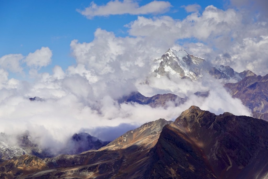
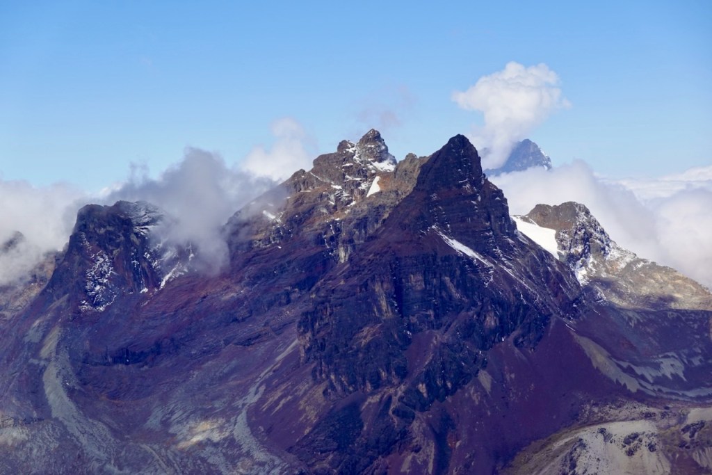
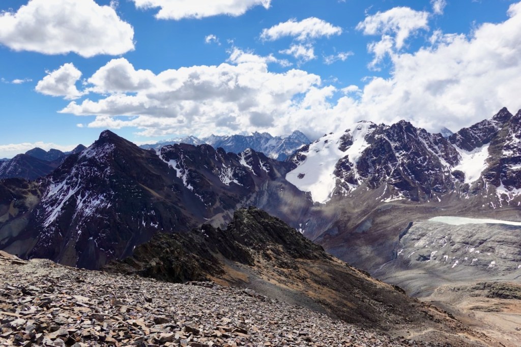
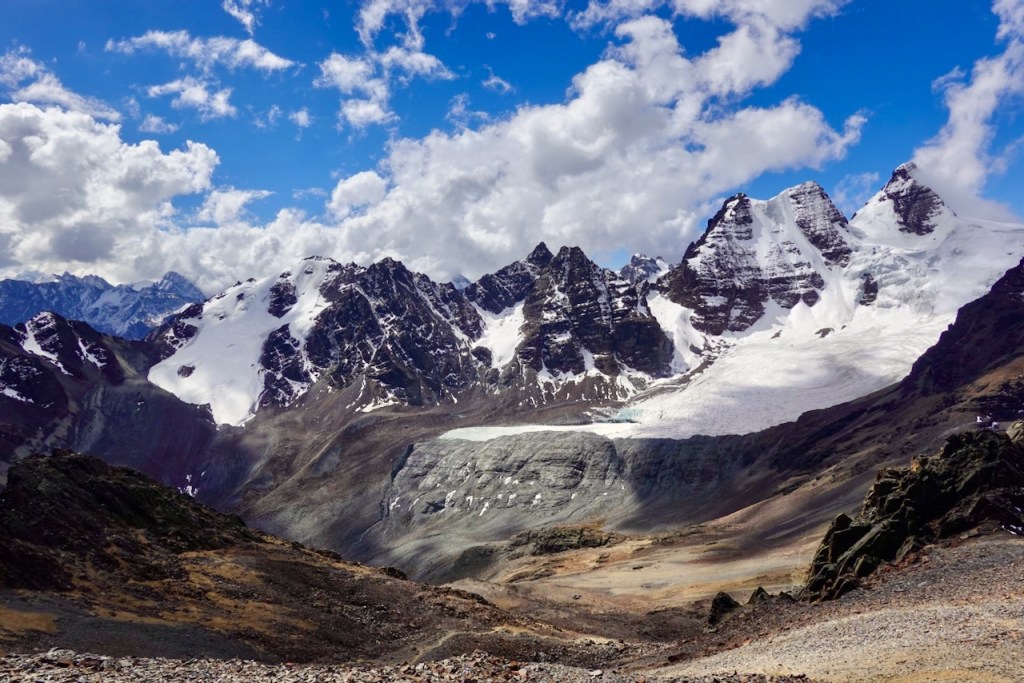
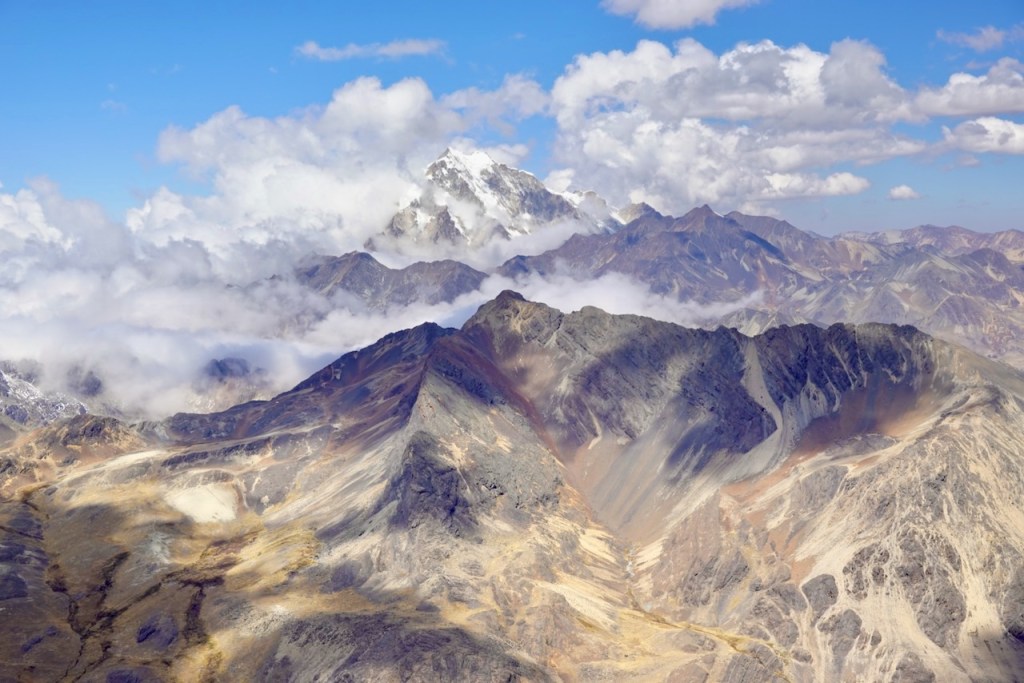
The views from the top of Pico de Austria were absolutely mind-blowingly beautiful. To the north, it was surrounded by snow-capped mountains and glaciers as far as the eye could see. To the south were austere plains and lakes stretching toward La Paz and Lake Titicaca. It was a perfect day, with mostly blue skies but just enough clouds to make the photos more dramatic.
Unlike the day-trippers, we were not on a schedule to get back to La Paz, so we could take our sweet time enjoying the views for as long as we wanted. Eventually, we headed back down to the split, following the same route we had taken up. Many tour groups took a different route down across a scree slope for some extra adventure, but we had already had our fill of scree slopes.
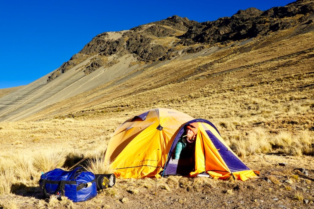
We paused for a while at the pass just after the split and then started heading down. The tour groups headed right, toward the south side of Laguna Chiar Khota, where they would catch their buses back to La Paz. We had made a conscious decision to camp on the north side of Laguna Chiar Khota to avoid the crowds, so we took a left. When we arrived at the campsite, we knew we had made the right call: we had the entire campsite to ourselves.
Distance 12 km, ascent 910 meters, descent 870 meters
First pass: elevation 4890, latitude -16.202023, longitude -68.290995
Pico Austria: elevation 5354, latitude -16.190071, longitude -68.257585
Second pass: elevation 5150, latitude -16.186251, longitude -68.255503
Campsite: elevation 4678, latitude -16.193965, longitude -68.240246
Day 15 (15 August 2026): Laguna Chiar Khota – Tuni Village
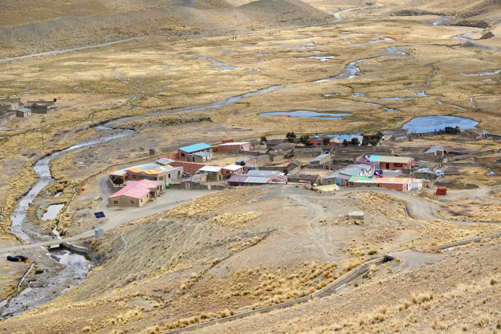
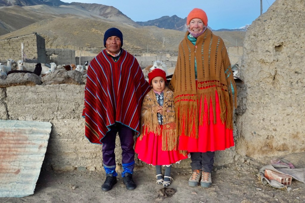
We decided to make a small detour from the planned itinerary to spend a night in the tiny village of Tuni, where the family of our guide, Celso, owned and operated a small guesthouse, “Hospedaje Cordillera Tuni.”
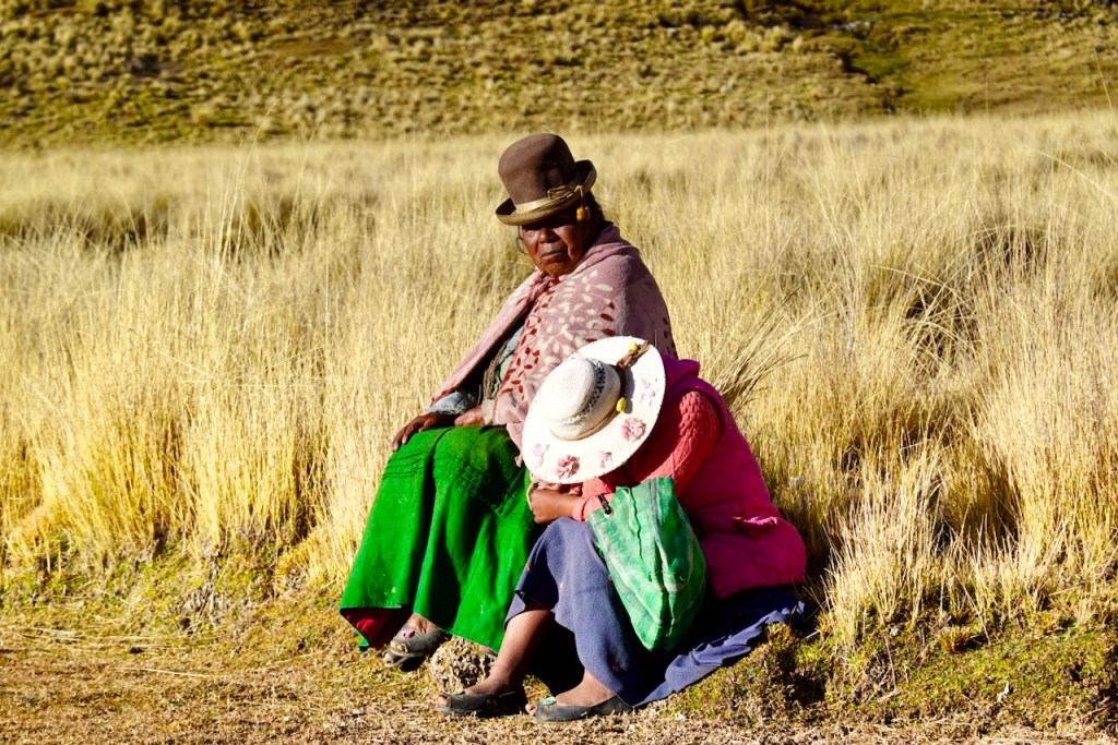
Our gear was transported by car to Tuni, but the car could not reach the north side of the lake where we were camping. So, a local muleteer, who turned out to be a woman wearing traditional dress, was hired to transport the gear to the end of the road on the other side of the lake.
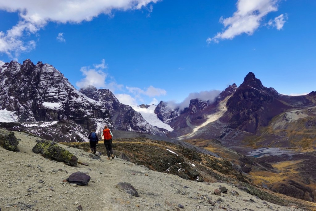
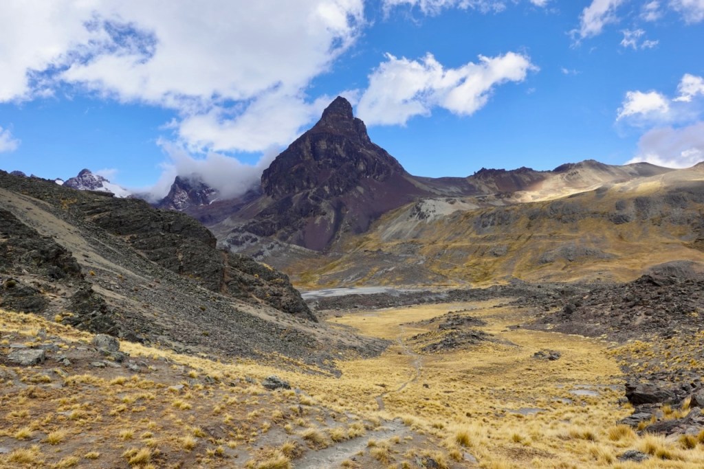
We, on the other hand, headed southeast, climbing directly up the slope toward the first pass. It was an easy ascent over grassy slopes and broad plains filled with llamas. On the other side of the pass, we descended into a wide, grassy valley. Celso told us that he sometimes used this valley to graze his llamas, so we knew we were getting close to his village.
The trail to the second pass was mostly over scree and slightly steeper, but it was still straightforward and easy. We had a quick lunch at the top and continued on. In the final stretch, we left the mountains behind and followed a ridge. We could see the village of Tuni in the distance, nestled next to Laguna Tuni.
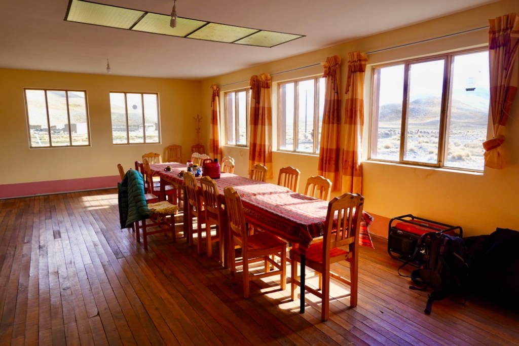
Because some tourists use Tuni as a base for acclimatization hikes before climbing expeditions, there were a number of lodging options in the tiny village. One of them was “Hospedaje Cordillera Tuni,” owned and operated by Celso’s family. The guesthouse was much more comfortable and well-kept than we had expected for such a remote place. It had three rooms: two with two beds each and one with four beds. All had attached bathrooms, and the beds were comfortable, with clean sheets and warm blankets. There was also a large dining room, a fully equipped kitchen, and another bathroom with a new gas-powered shower.
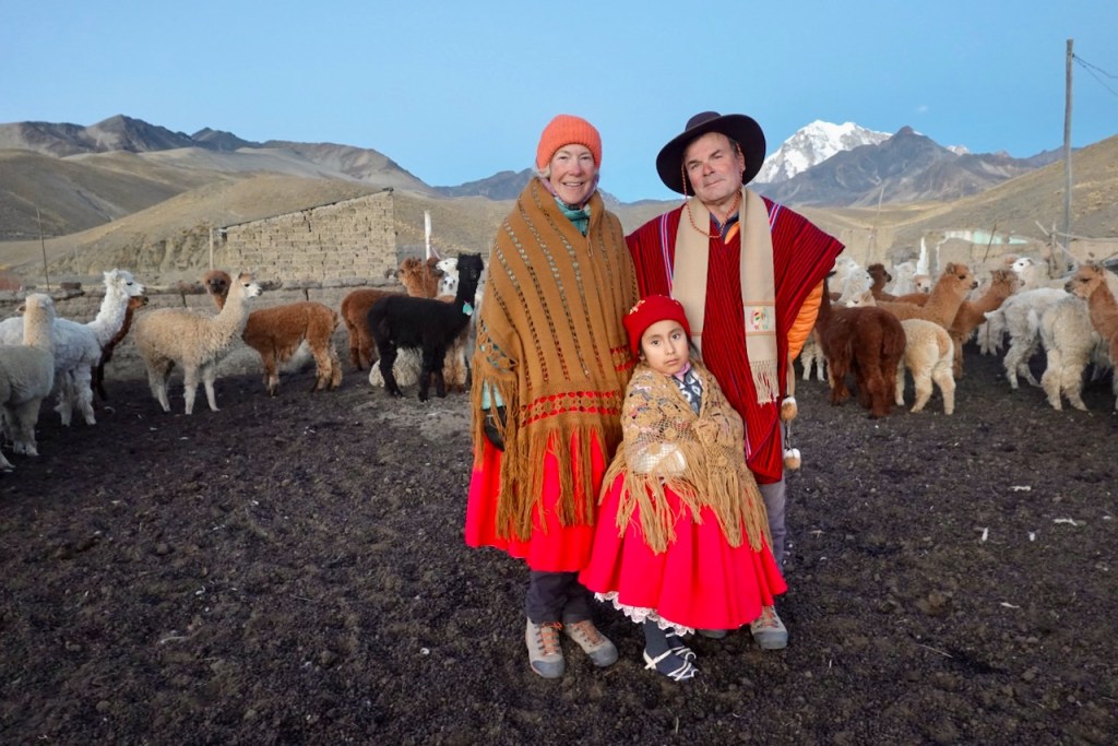
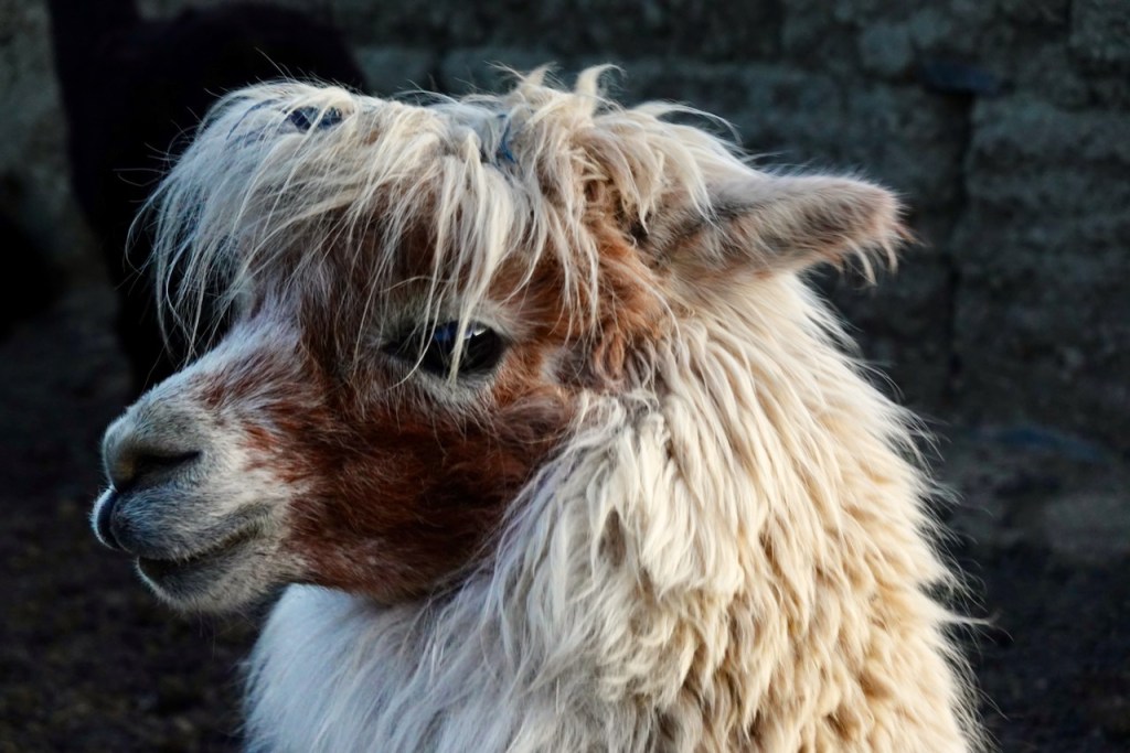
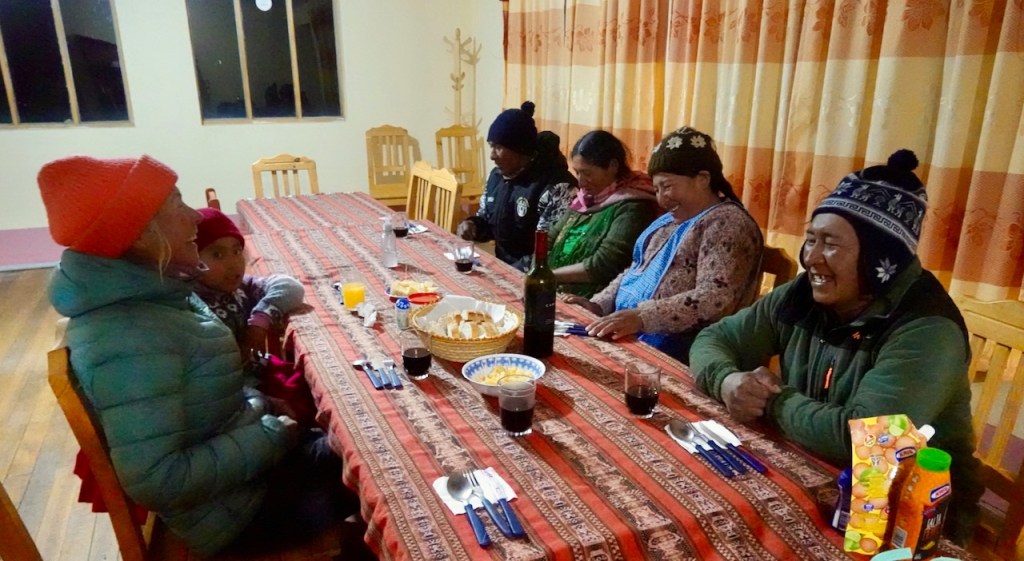
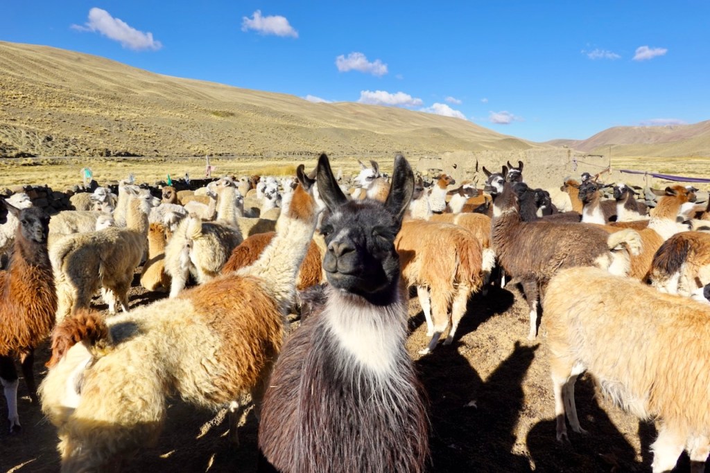
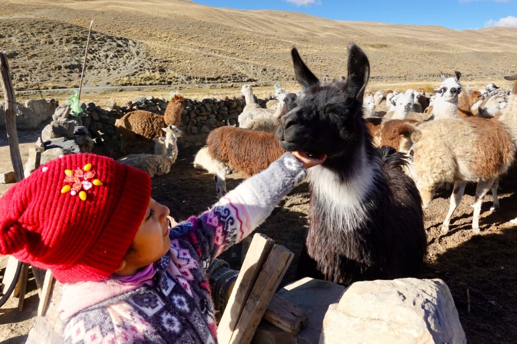
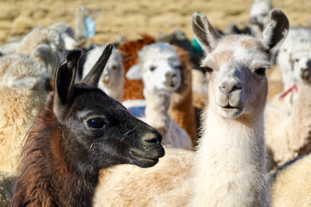
Celso’s wife and granddaughter, as well as Ismael’s wife, were there and gave us a very warm welcome. They showed us their herd of llamas and prepared an elaborate dinner for us, including a bottle of wine. The evening even ended with Bolivian music and dancing, with everyone dressed in traditional costumes!
Distance 9 km, ascent 590 meters, descent 750 meters
First pass: elevation 5003, latitude -16.203686, longitude -68.228660
Second pass: elevation 4890, latutude -16.235303, longitude -68.218295
Hospedaje Corillera Tuni (Celso’s Hospedaje): elevation 4458, latitude -16.249273, longitude -68.239303
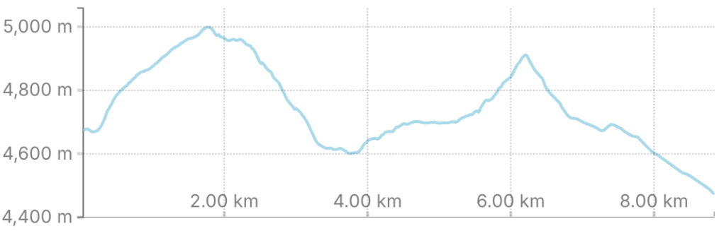
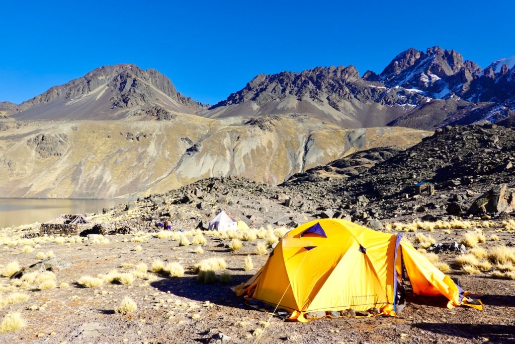
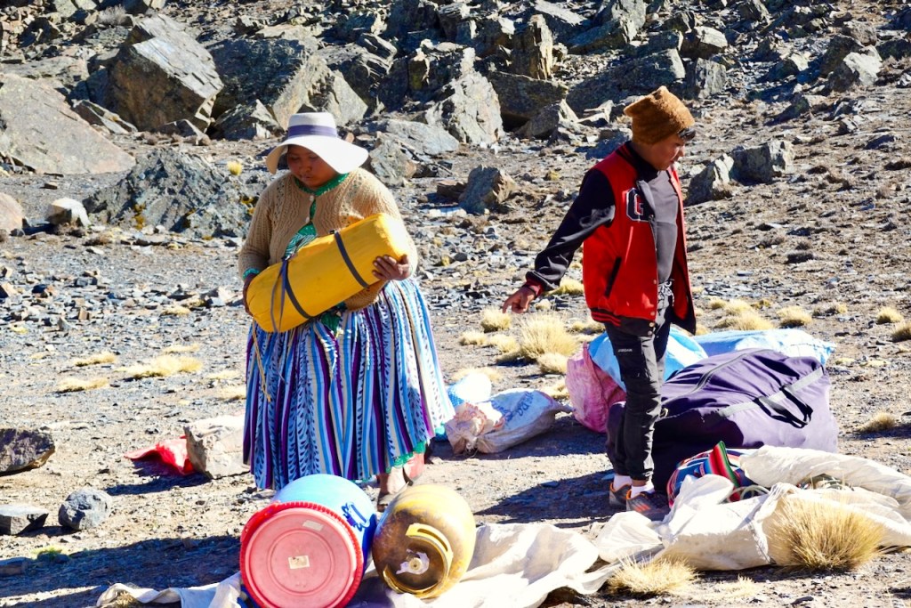
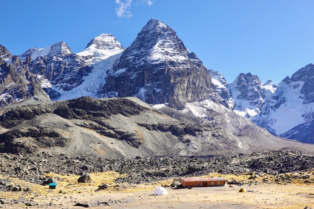
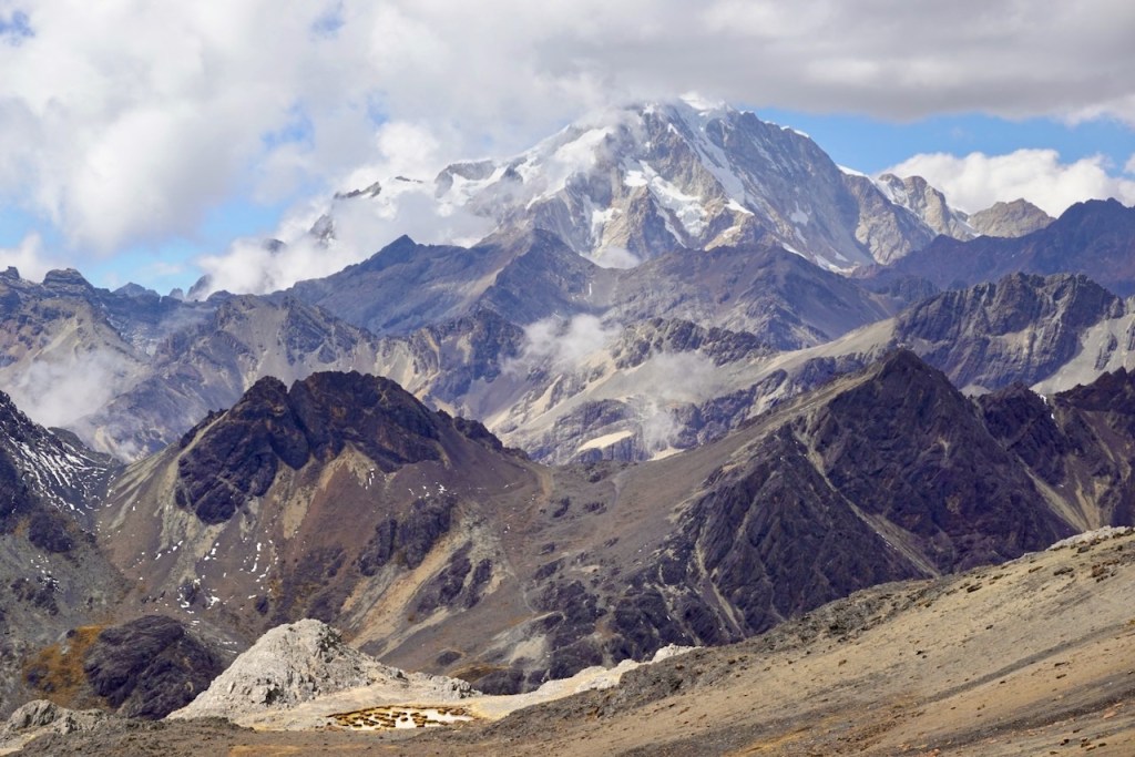
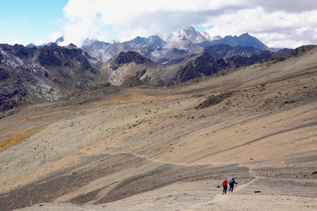
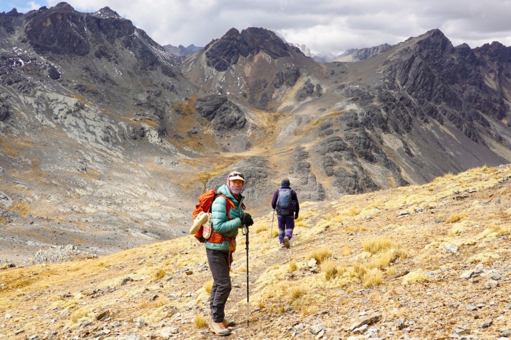
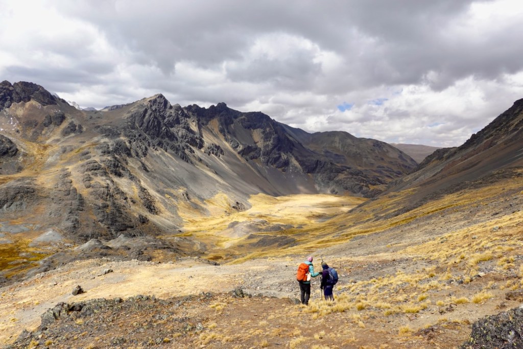
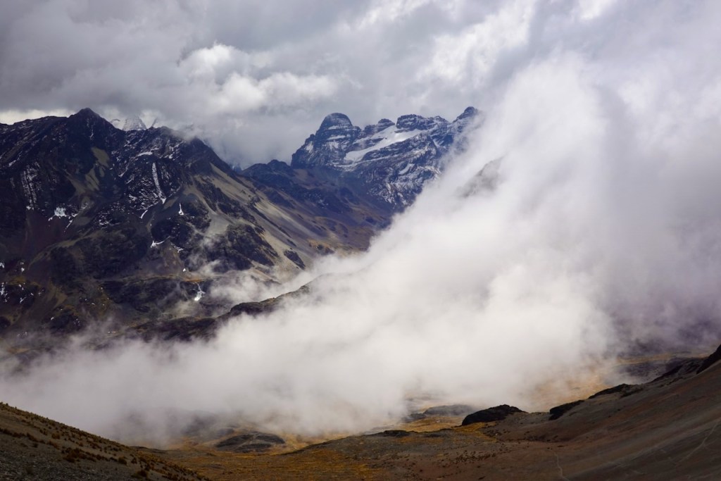
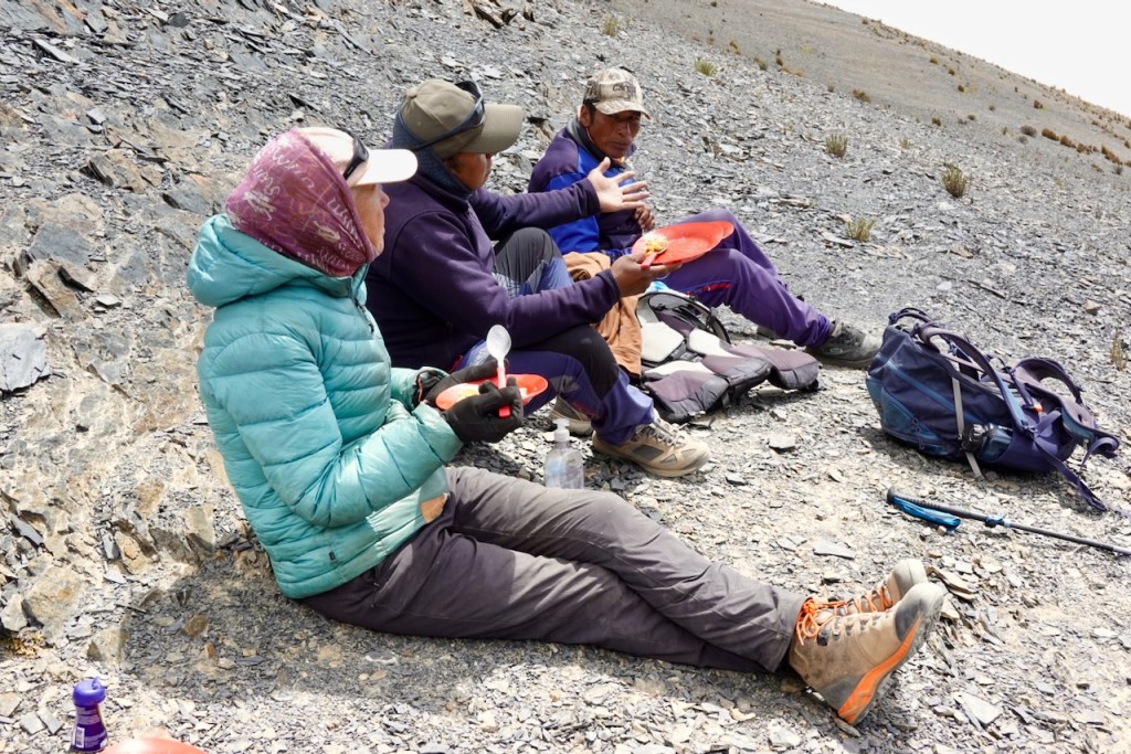
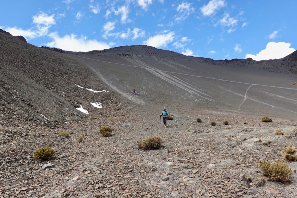
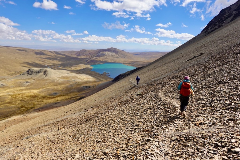
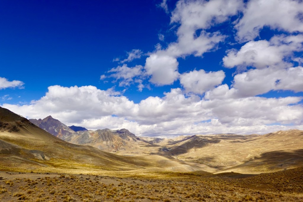
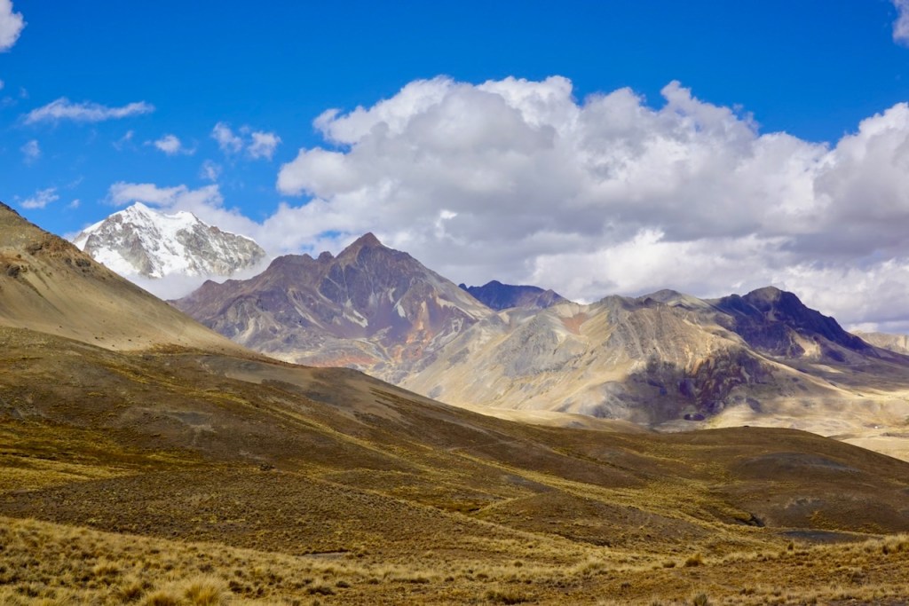
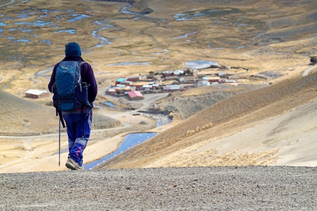
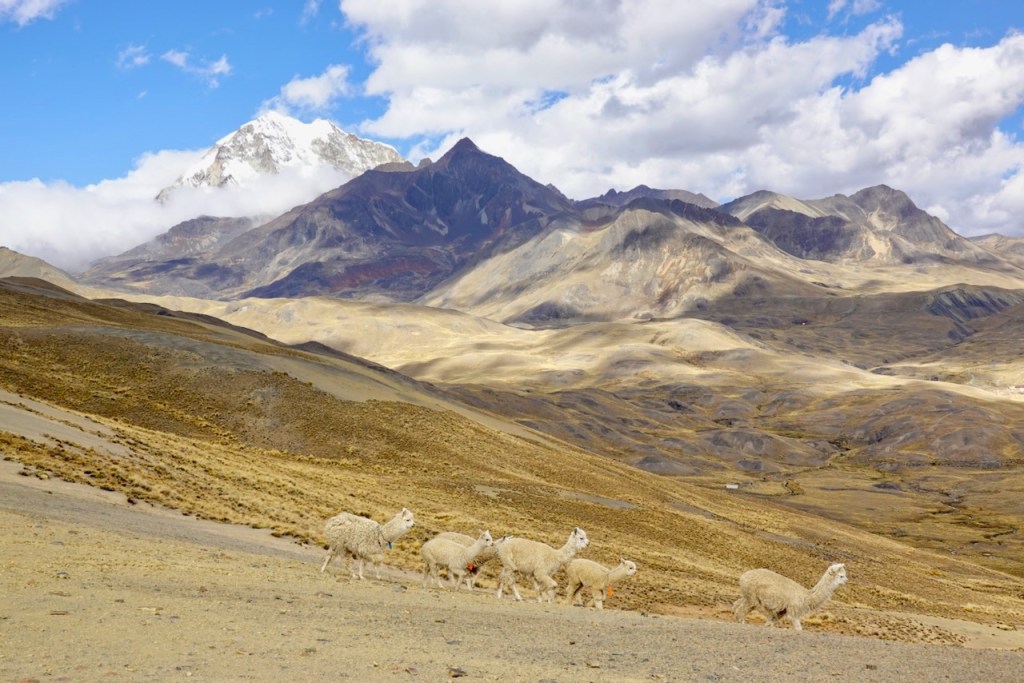

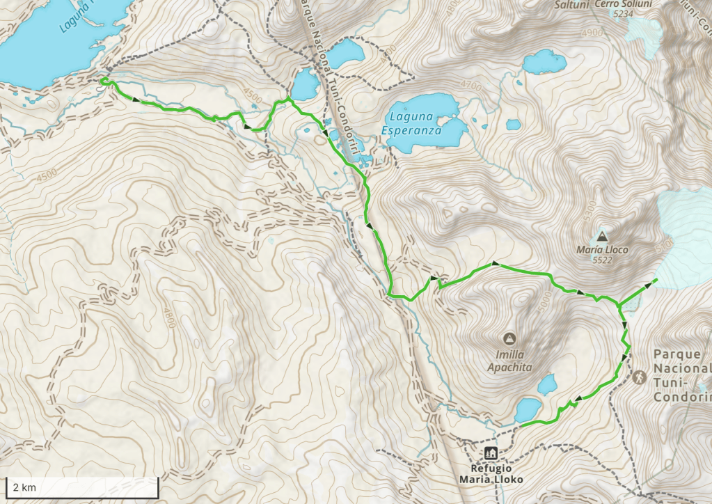
Day 16 (16 August 2026): Tuni Village – Laguna Sura Khota – Laguna Esperanza – Maria Lloco
Once again, our gear was transported by car to the next campsite.
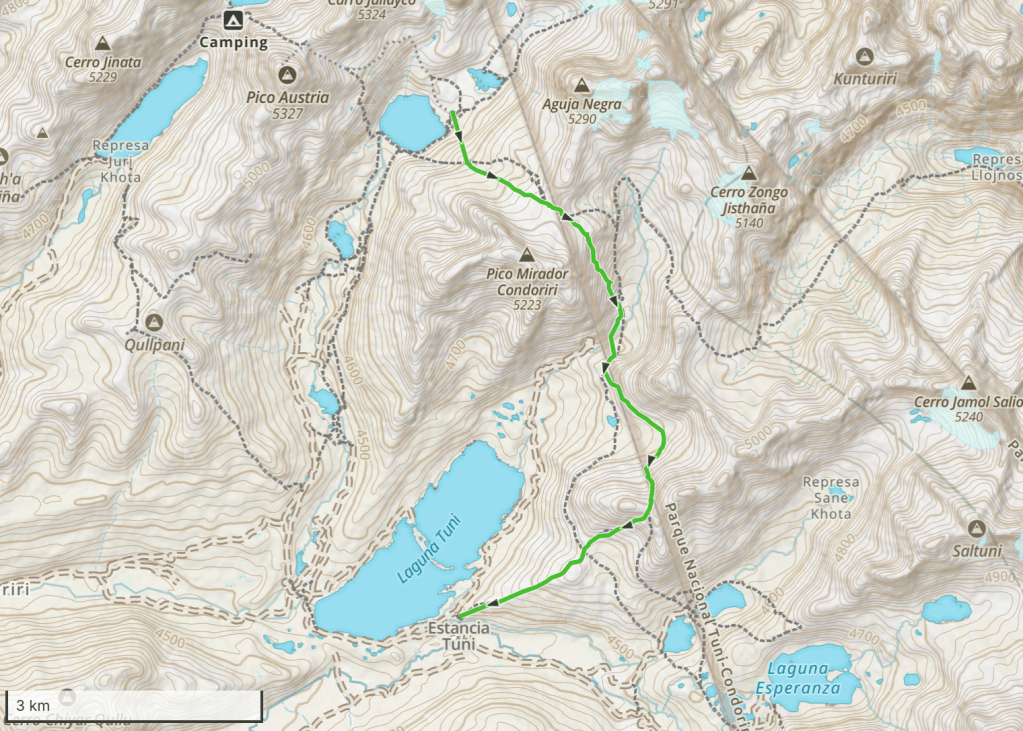
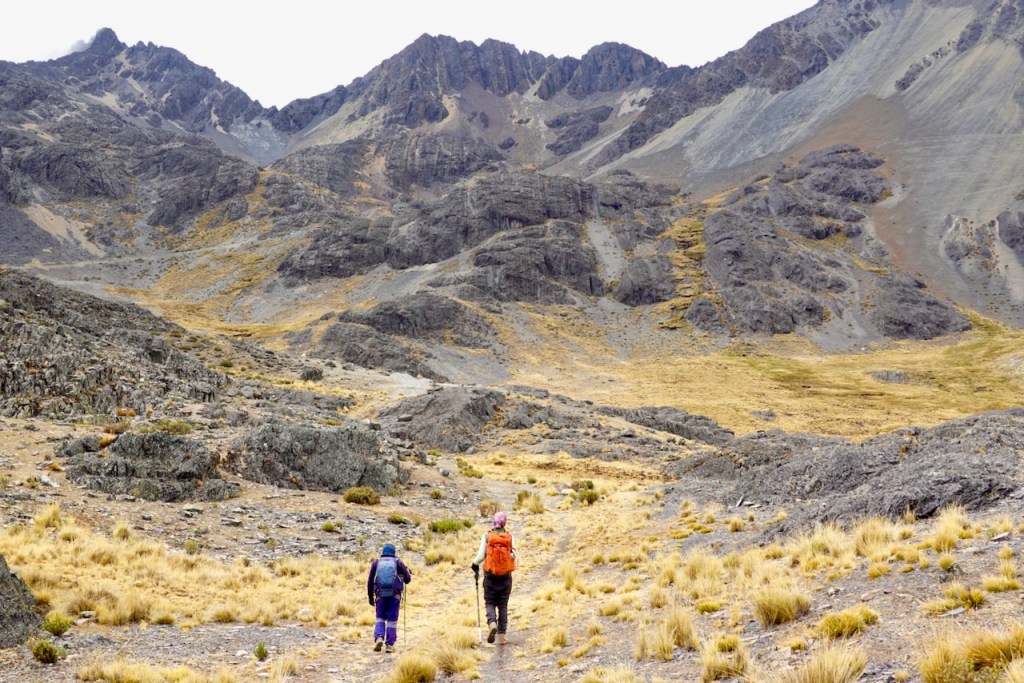
After breakfast, we joined Celso to release the llamas from their corrals. We started today’s hike by following the llamas to their grazing grounds, a few kilometers east along the river.
From there, we swung southeast, passing a couple of lakes: first Laguna Sura Khota and then Laguna Esperanza. Both lakes used to have mining communities next to them. The mines were abandoned some time ago, but small communities still remain.
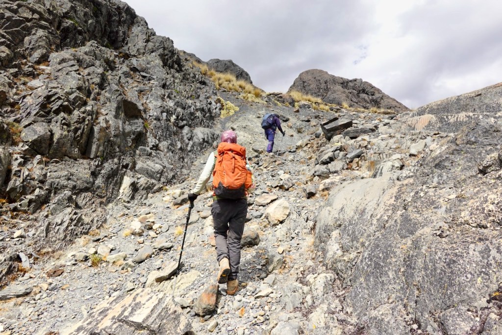
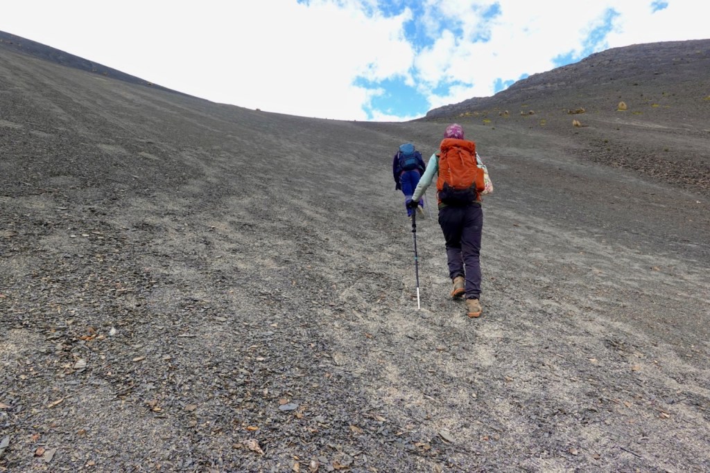
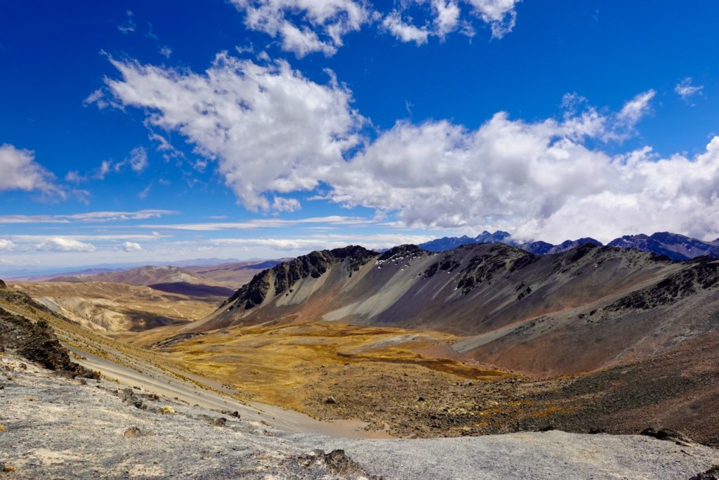
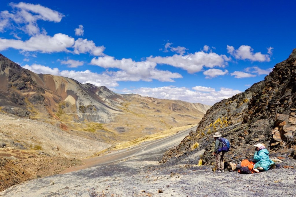
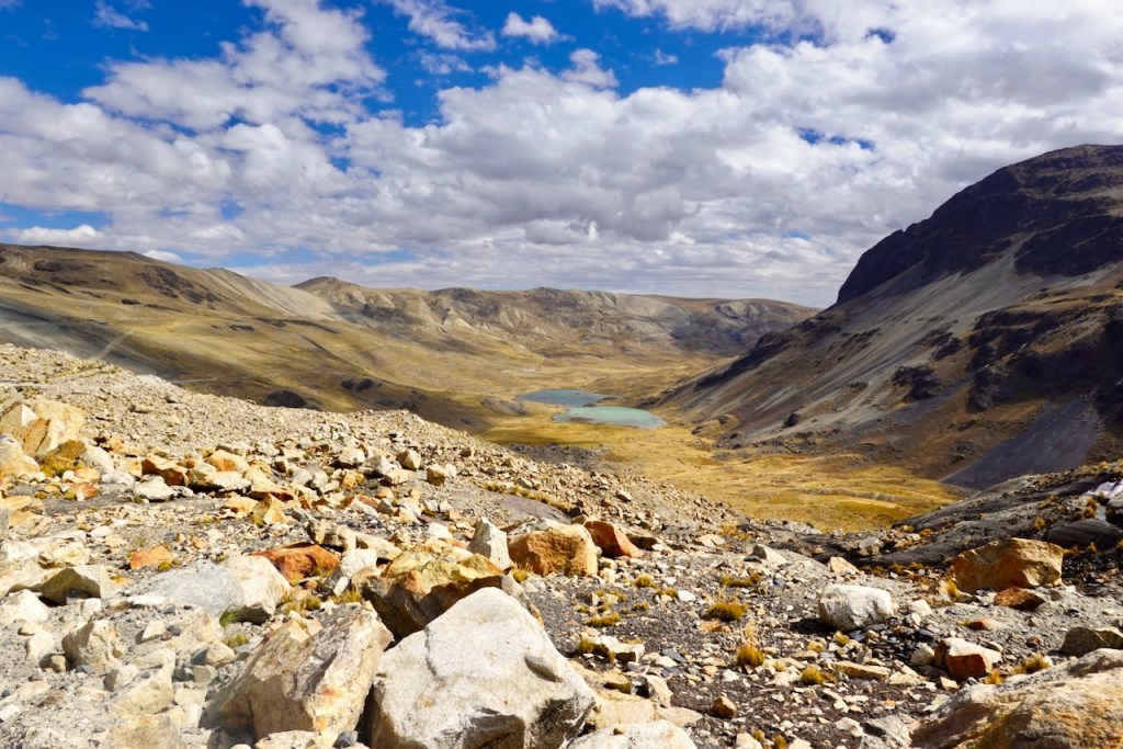
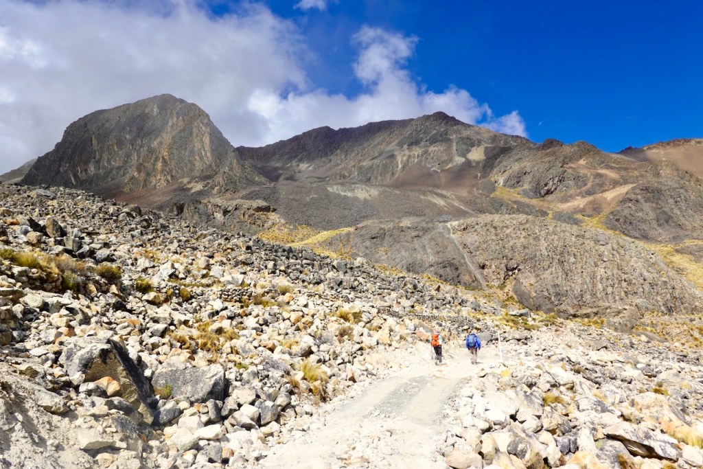
After the lakes, we slowly started ascending, first heading south past an older, now completely dilapidated mining community, and then east into an isolated valley. It was all very gentle and easy until we reached the final stretch up to the pass at the end of the valley, where a rather steep scree slope led up to the pass itself.
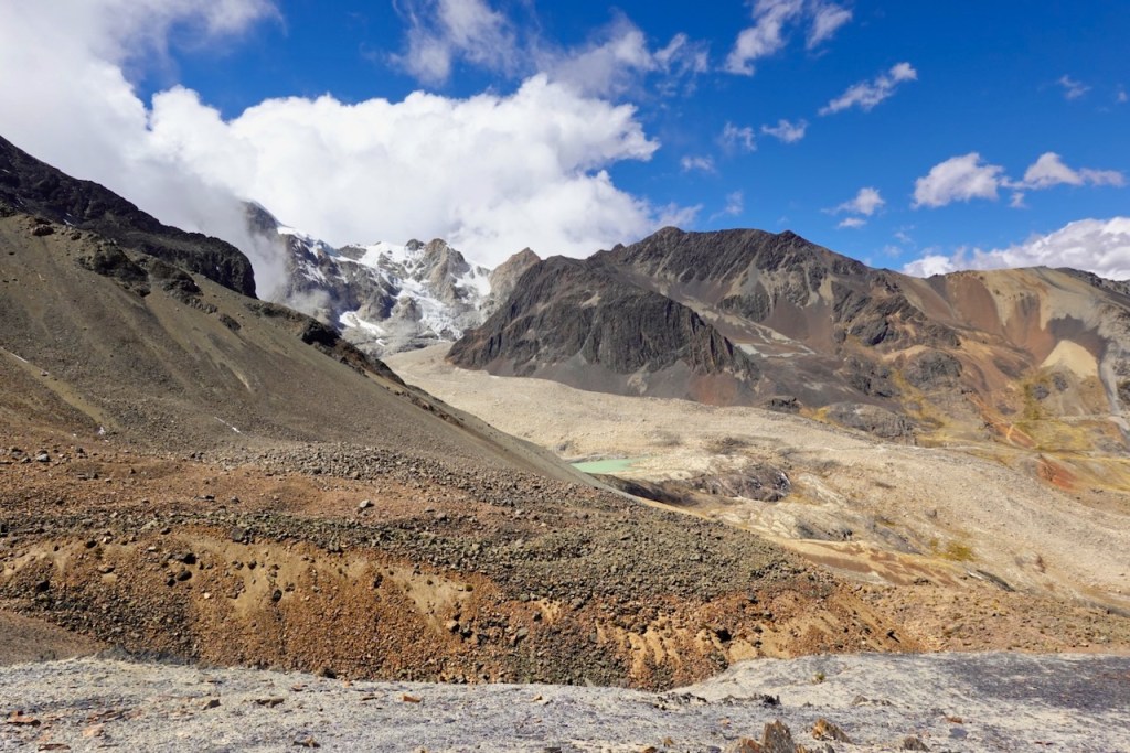
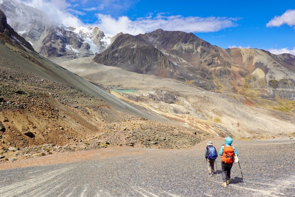
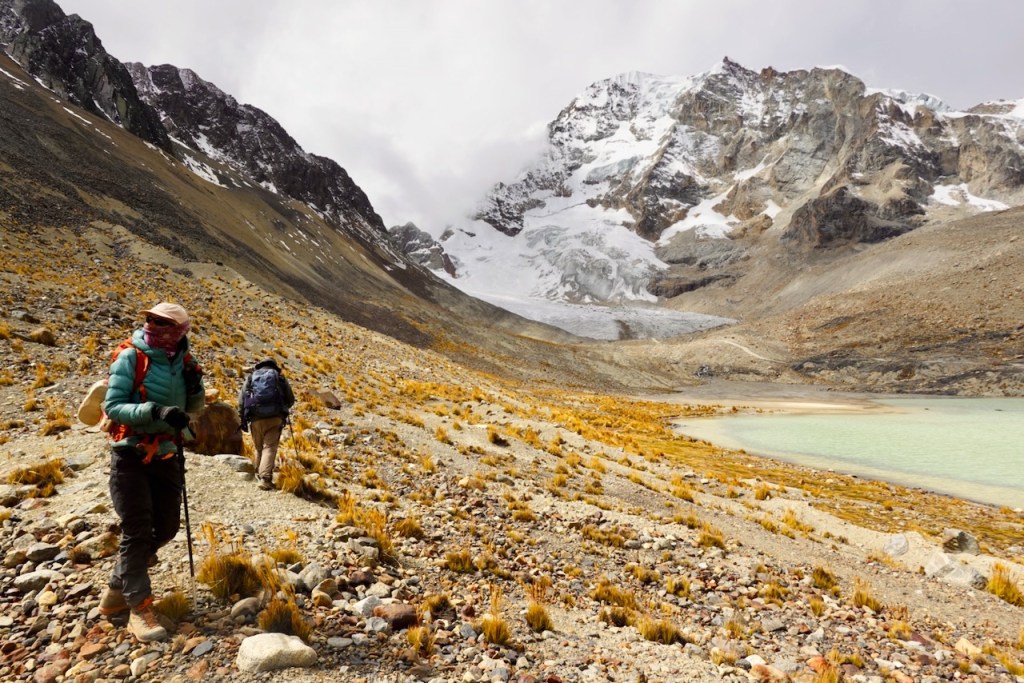
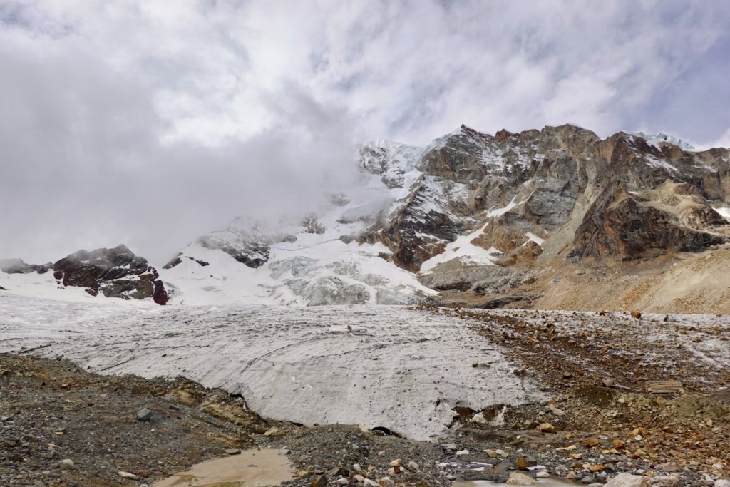
Our campsite was located next to a lake, down to the right (south) from the pass. But before heading there, we first took a left (north) and headed up to visit a small glacial lake at the foot of a glacier.
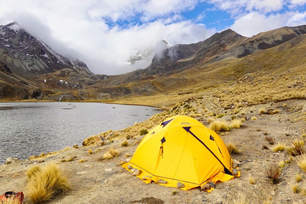
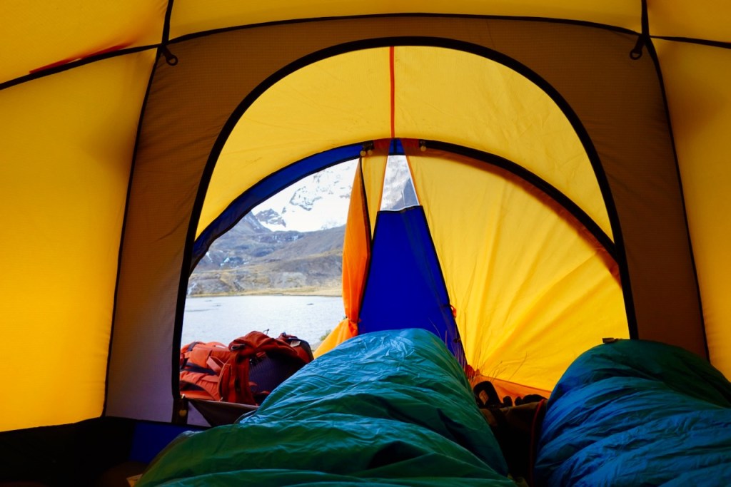
Once at the campsite, the weather started deteriorating: it was cold and windy, and clouds began rolling in. We spent some time enjoying the warmth of our down sleeping bags and reading in our tent.
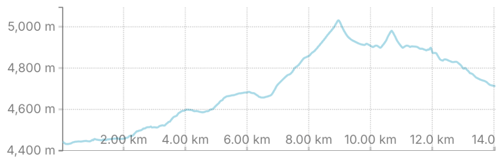
Distance 14 km, ascent 680 meters, descent 450 meters
First pass: elevation 5035, latitude -16.270870, longitude -68.185208
Glacier: elevation 4964, latitude -16.270151, longitude -68.170273
Campsite: elevation 4732, latitude -16.288025, longitude -68.188705
Day 17 (17 August 2026): Maria Lloco – Campo Baso Huayna Potosi
Although we had not planned on it, day 17 would turn out to be the last day of our trek.
Once again, our gear was transported by car to the next stop.
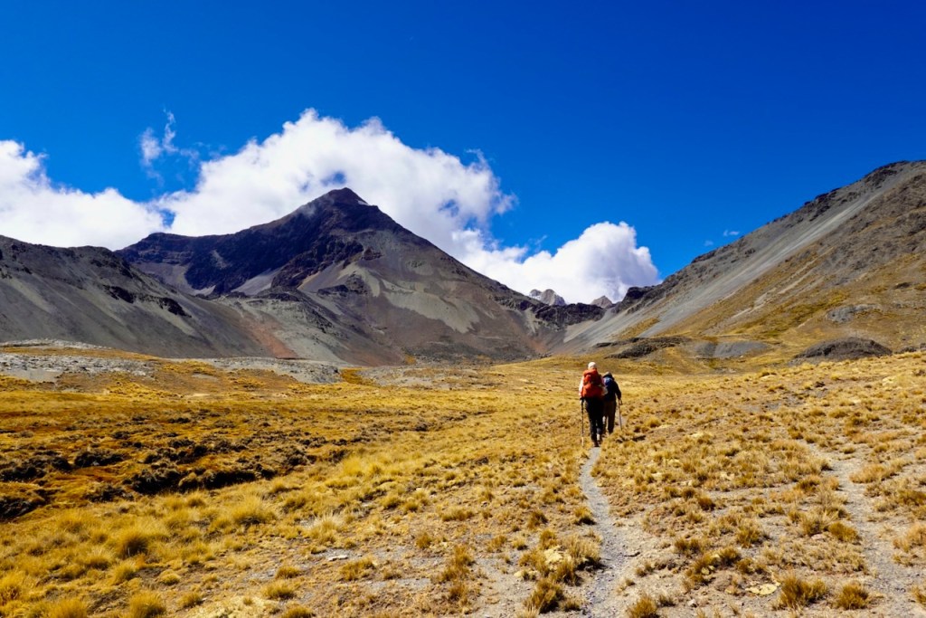
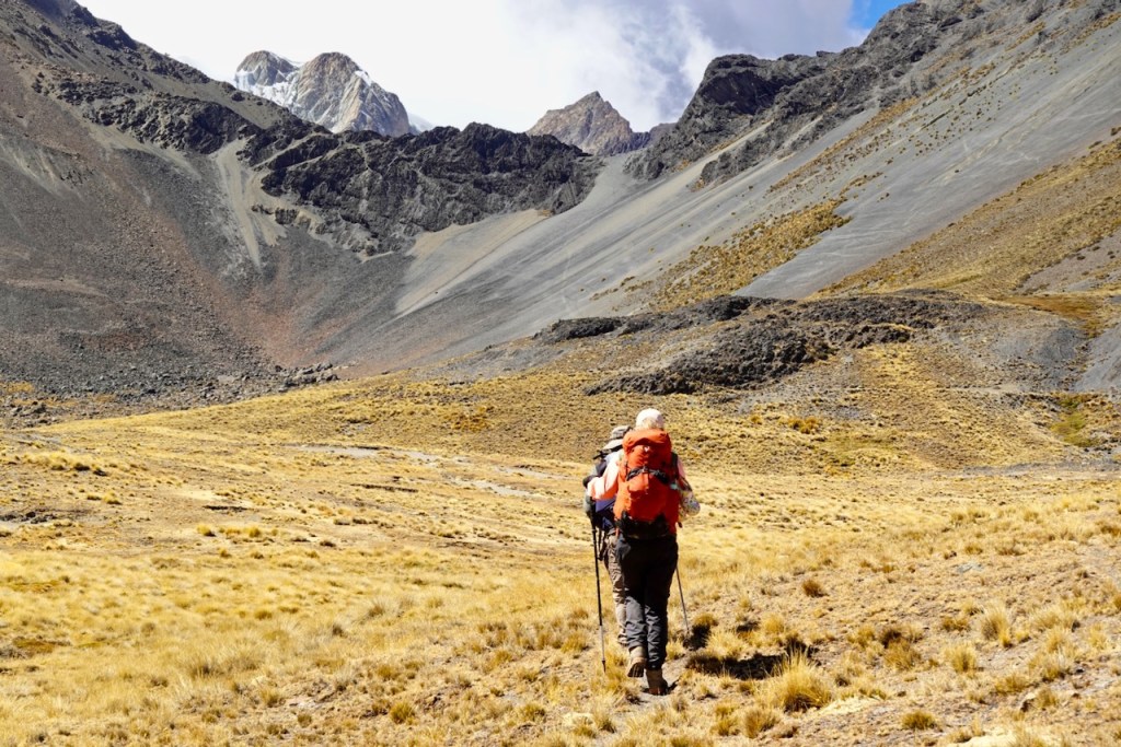
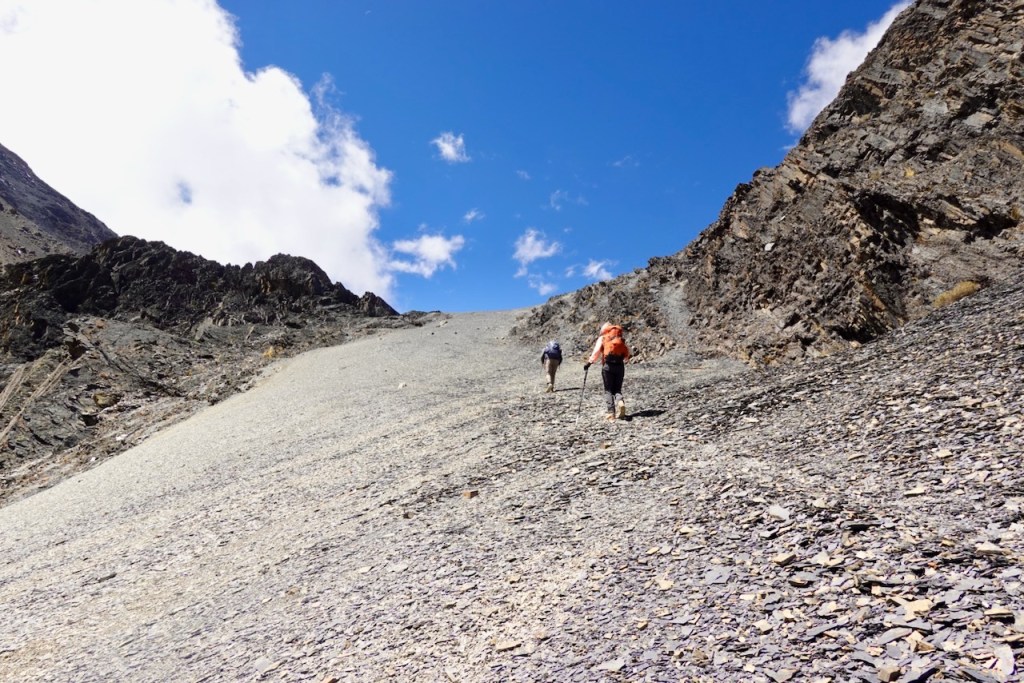
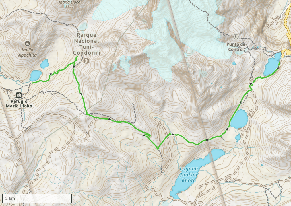
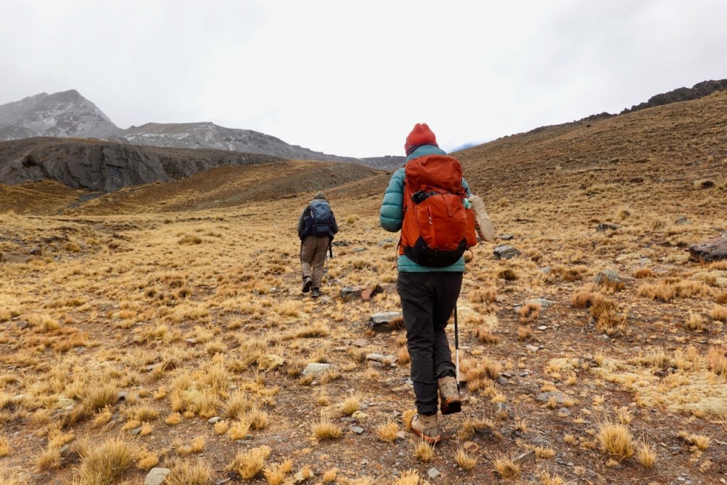
As usual, we started hiking up the slopes, this time in a northeasterly direction. The ascent was easy, over grassy slopes, and we briefly followed an irrigation channel. Once again, the final stretch to the first pass was over scree and slightly steeper.
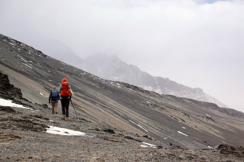
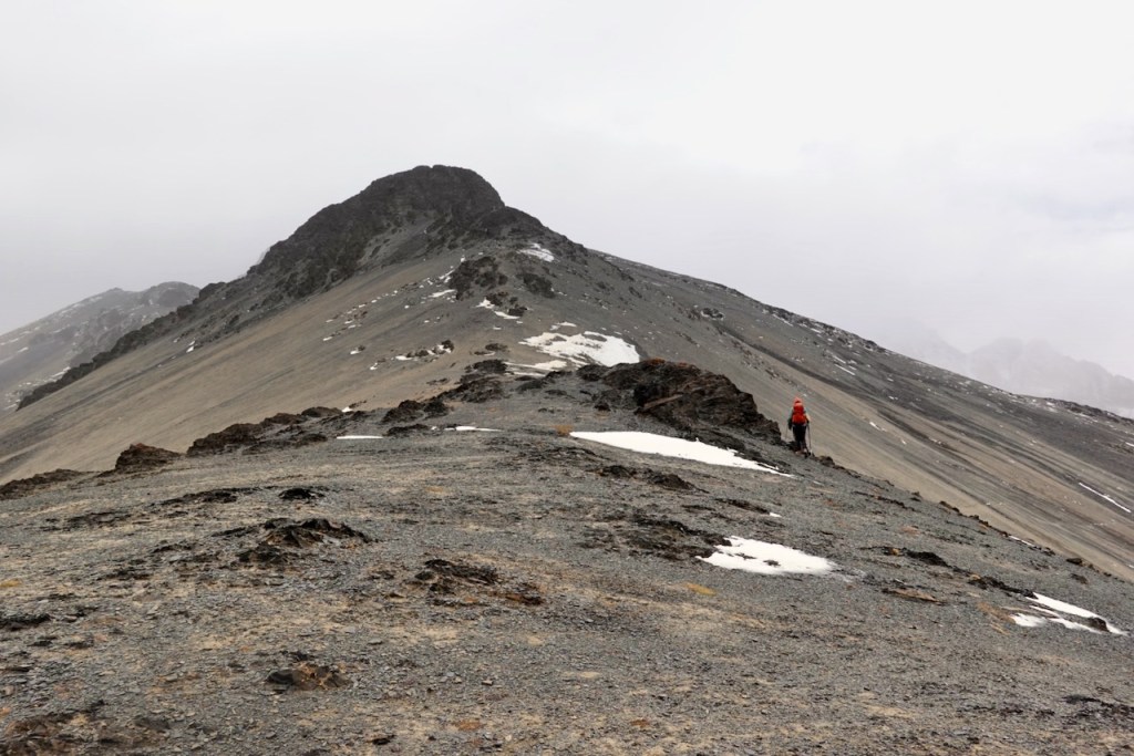
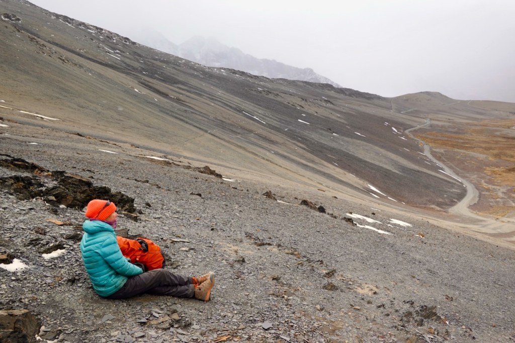
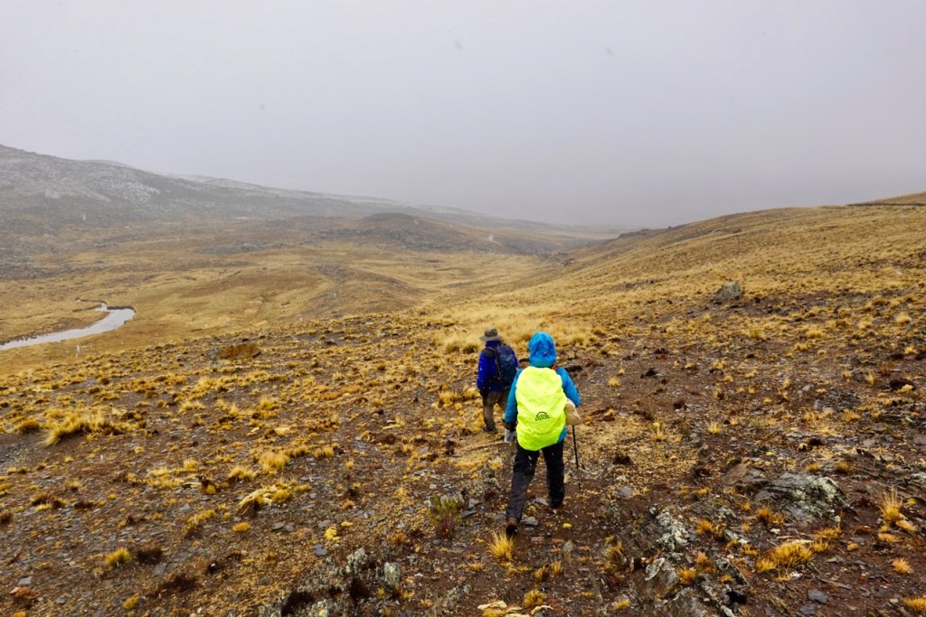
At the pass, the weather started taking a turn for the worse. The clouds came down, turned into fog, and light snow began to fall. We donned our rain jackets and pants and continued on.
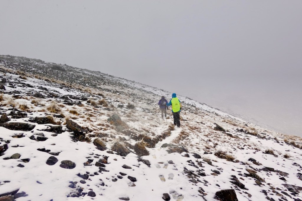
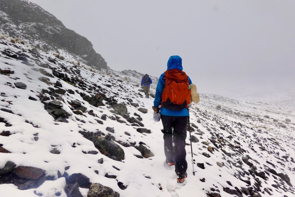
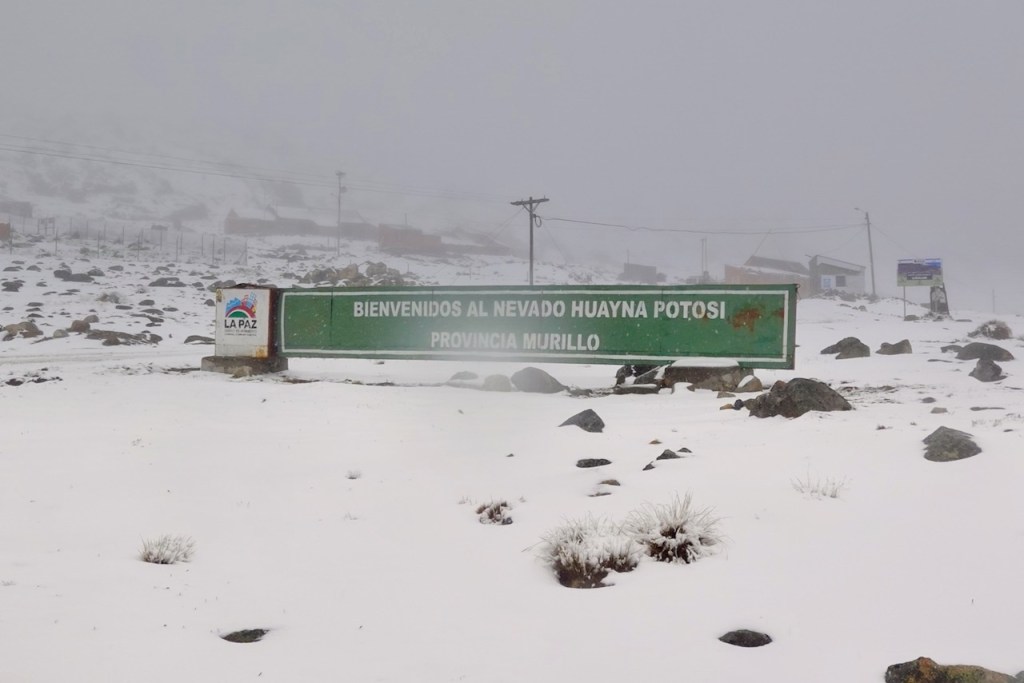
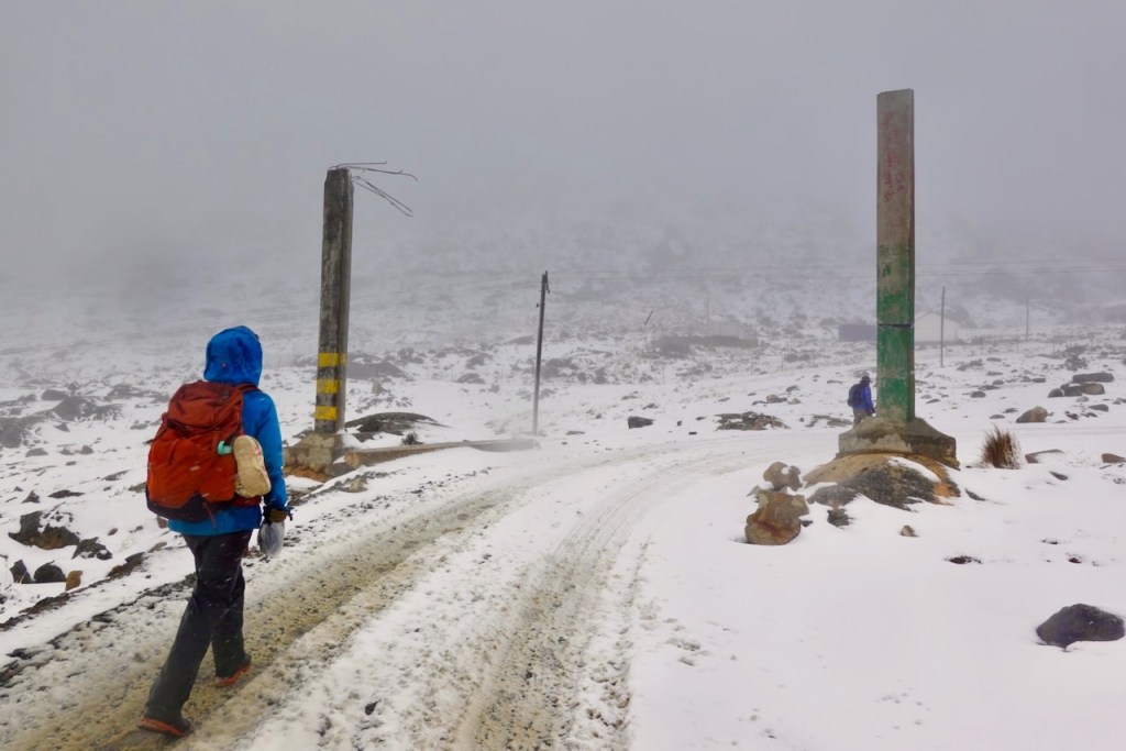
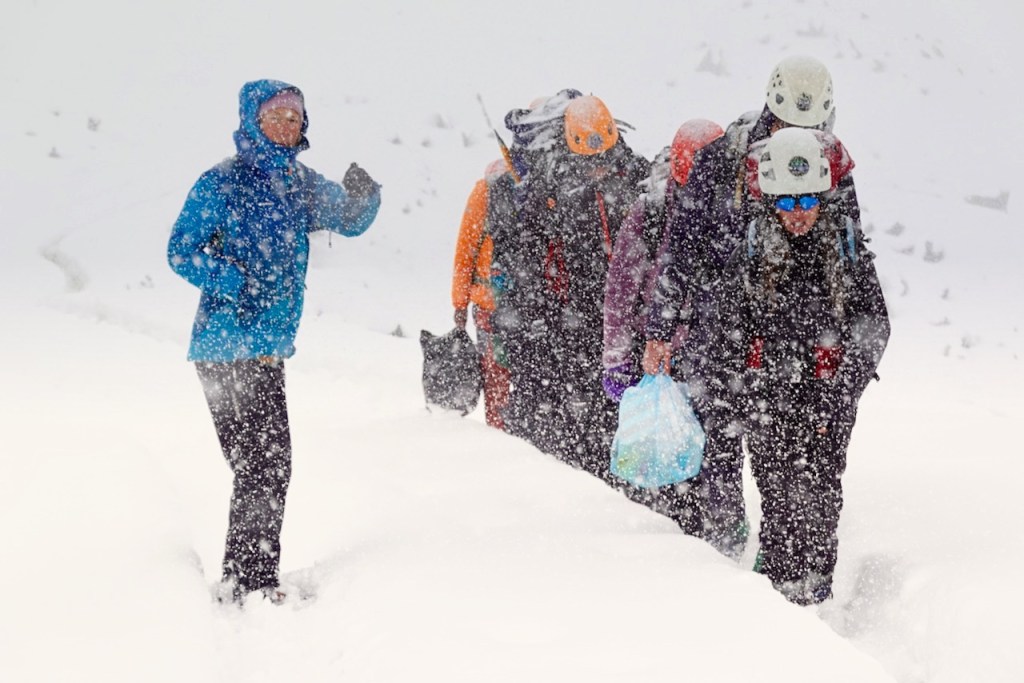
Within less than an hour, the light flurry had turned into a full-on snowstorm. The snow really started coming down, and within an hour or so we already had more than 10 centimeters of accumulation.
The wind started picking up and eventually turned into a full-blown storm. The snow became blinding. I could either keep my glasses on and not see anything because they kept freezing over, or take them off and have the snow sting my eyes. Unfortunately, Celso’s clothing was not nearly as waterproof or warm as ours, and we became quite concerned about him.
By the time we reached Huayna Potosí, there was well over 20 centimeters of snow on the ground.
Huayna Potosí is a very popular climbing mountain for tourists because it is slightly technical, but still accessible to people without climbing experience. Every day, 50 or more tourists come here to climb the mountain. Because of this, there are several refugios at the Huayna Potosí base camp.
We had originally planned to camp here, but with the weather so foul and our clothes so wet, and with refugios right there, we decided to stay in one instead of camping.
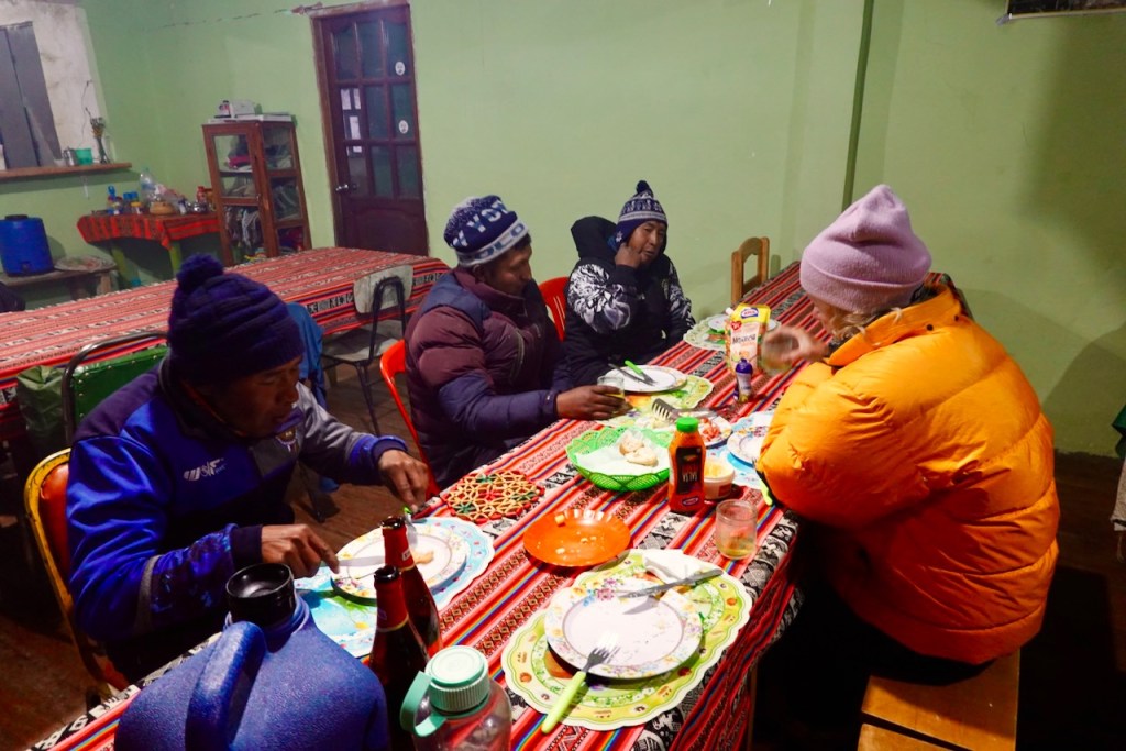
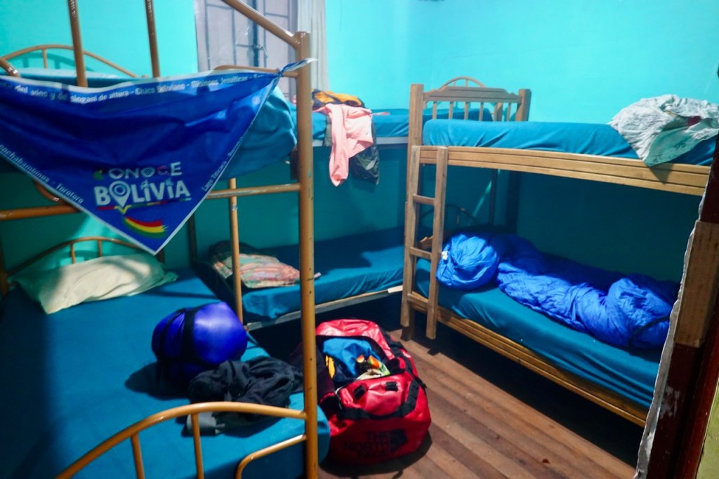
Our trekking agency had recommended that we stay at refugio Doña Elvira, but when we got there, it was very crowded. So we checked whether there was another refugio where we could stay. After a lot of searching—many refugios were closed, either because of the storm or because of the reduced number of tourists as a result of the blockades—we ended up at refugio Vista Panorámica, about a kilometer farther down the road. We had the entire refugio to ourselves, and there was even a working fireplace to keep us warm.
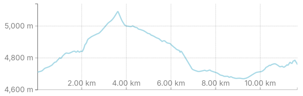
Distance 12 km, ascent 560 meters, descent 500 meters
First pass: elevation: 5100 meters, latitude -16.296468, longitude -68.173728
Refugio: elevation 4743, latitude -16.281651, longitide -68.121091
Day 18 (18 August 2026): Drive back to La Paz
We woke up and looked outside. The storm was even worse than the evening before. By now, about 40 centimeters of snow had accumulated, and the snow was still coming down hard.
Our original plan was to continue trekking for another three days and do the Choro Trek to Coroico, but it was clear that we had to abandon this plan.
The last part of the trek was much lower in elevation, even becoming tropical, so there probably would not have been any problem with snow down there. But to get there, we still had to cross one more pass. Even if we miraculously managed to make it across on foot, there was no way our supply car would make it. And we certainly did not want to risk getting stuck in Coroico with no way to get back to La Paz. This turned out to be a valid concern, as people did indeed get stuck—not just at this pass, but also on the way to the Uyuni Salt Flats.
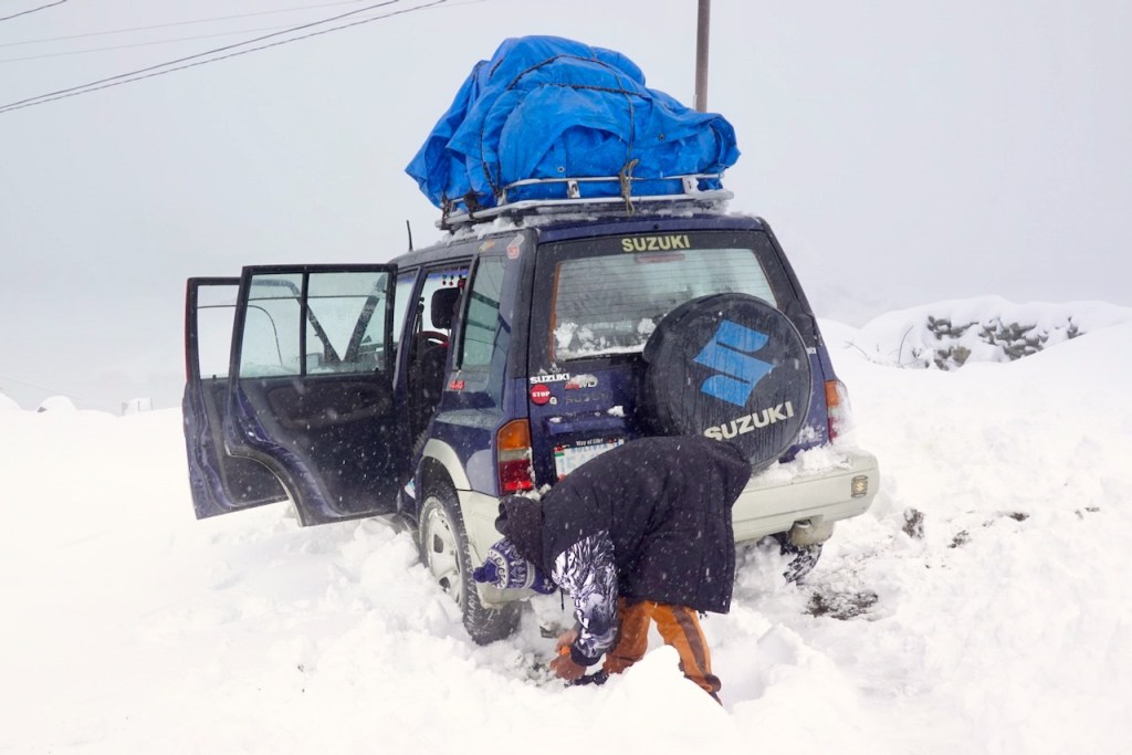
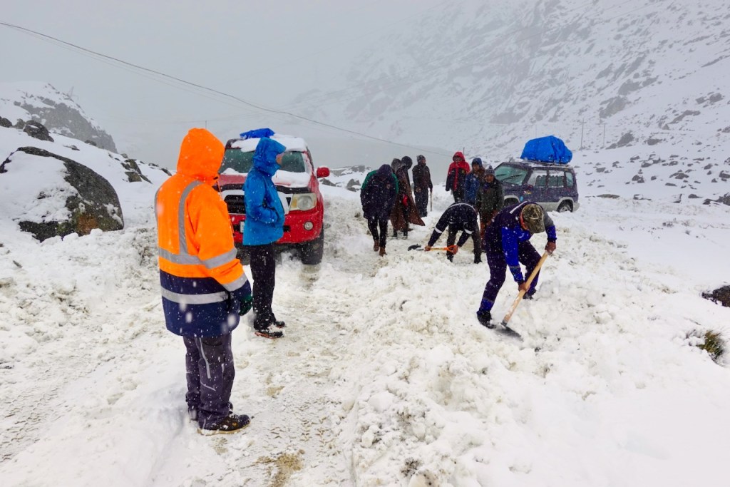
So, we decided to abandon the last three days of trekking and head back to La Paz instead. Normally, this would have been an easy two-hour drive from Huayna Potosí. But with all the snow, it turned into a full-day ordeal. The car could not drive more than a few kilometers per hour. We had to walk in front of the car to look for the road, which had completely disappeared under the snow. Cars on the road frequently got completely stuck, and we spent hours using shovels to dig out our own car and other stranded vehicles so that we could get through. Several cars got so badly stuck that their occupants had to spend the night in them. We were lucky to make it back to La Paz in one piece.
Amazingly, tourists were still coming up from La Paz to climb Huayna Potosí. Most of the shuttle buses from La Paz got stuck in the snow, and the tourists had to walk the last few kilometers to the refugios, carrying all their gear and food. It was quite the spectacle.
 Hiking and Coding